 Hiking
Stegosaur Hike
Hiking
Stegosaur Hike
Capitol Reef
Overview
A big hike with big views, Stegosaur visits an area of stunning domes that are visible from many parts of the park. If you are a technical canyoneer, I would recommend doing the Stegosaur Canyon loop, which visits the same terrain, but with a nice technical canyon to descend. This route is the same approach, but for not technical hikers. The hike is MOSTLY on the well trodden Rim Overlook or Navajo Domes trail, but leaves the trail for a bit of backcountry hiking with colorful slickrock, up close views of big domes, and towering conifers. There is a short section of Class 3/4 scrambling most should be comfortable with, but the exposure and ruggedness of the final section of this hike make it not a good choice for absolute beginners.
Pack a camera and lunch, the turn around point at the Sharks Fin makes a very scenic lunch spot, with outstanding views of the park. I would rate this an even better hike than Ferns Nipple for scenery and overall fun.
Getting There
From the Visitor Center, travel east on Highway 24 about 2 miles to the signed Hickman Bridge trailhead on the north (left) side of the road (mile post 81.2). There is a pit toilet here. This is where the highway crosses the Fremont River.
Route Description
To The Rim Overlook (1-1.5 hours)
From the trailhead, follow the Hickman Bridge trail. After just a few minutes (0.3 miles) it splits. Left goes to Hickman Bridge and makes a great side trip. Go right toward the Rim Overlook/Navajo Domes. After a few more minutes, there is a great viewpoint for Hickman Bridge. Continue on to the Rim Overlook viewpoint.
To The Fin (30-45 minutes)
From the Rim Overlook viewpoint, follow the trail a few minutes until it rounds the head of a canyon. Go up the wash to the north. There is a social trail emerging, try to stay in the wash or on the social trail to minimize impacts. There is much cryptobiotic soil in the area.
Continue up the wash to where the canyon narrows and towering conifers appear. Climb up the slope on the right side here wherever it looks reasonable. A hundred or so feet BEFORE a large standing dead tree is visible in the middle of the wash seemed like the best route to me, and was class 3. Be sure you can recognize this spot on your return! You will be downclimbing whatever you go up, so make sure it is within your comfort zone.
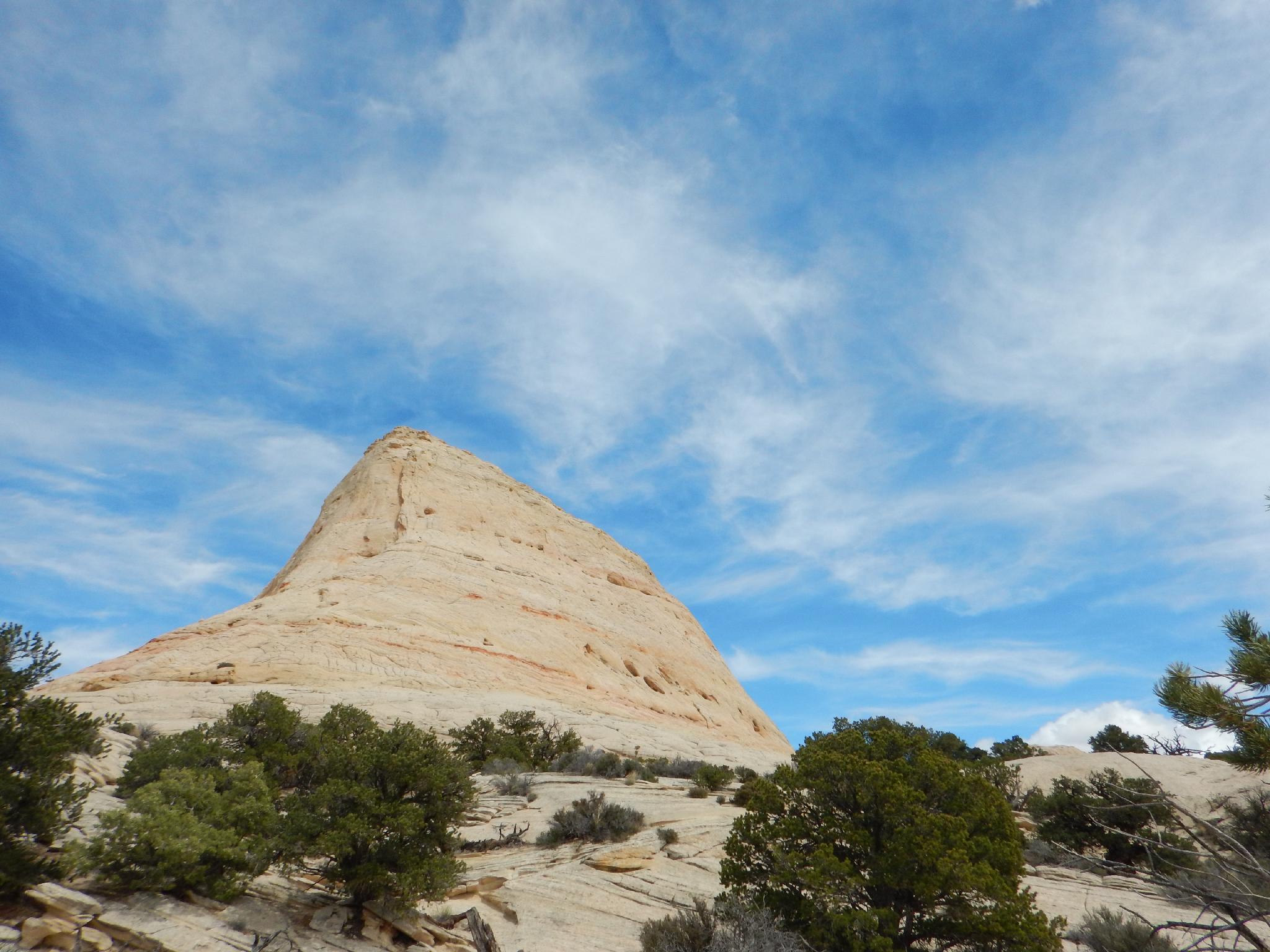
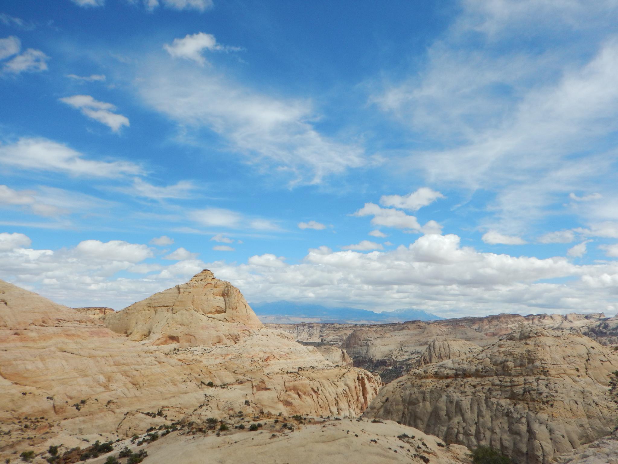
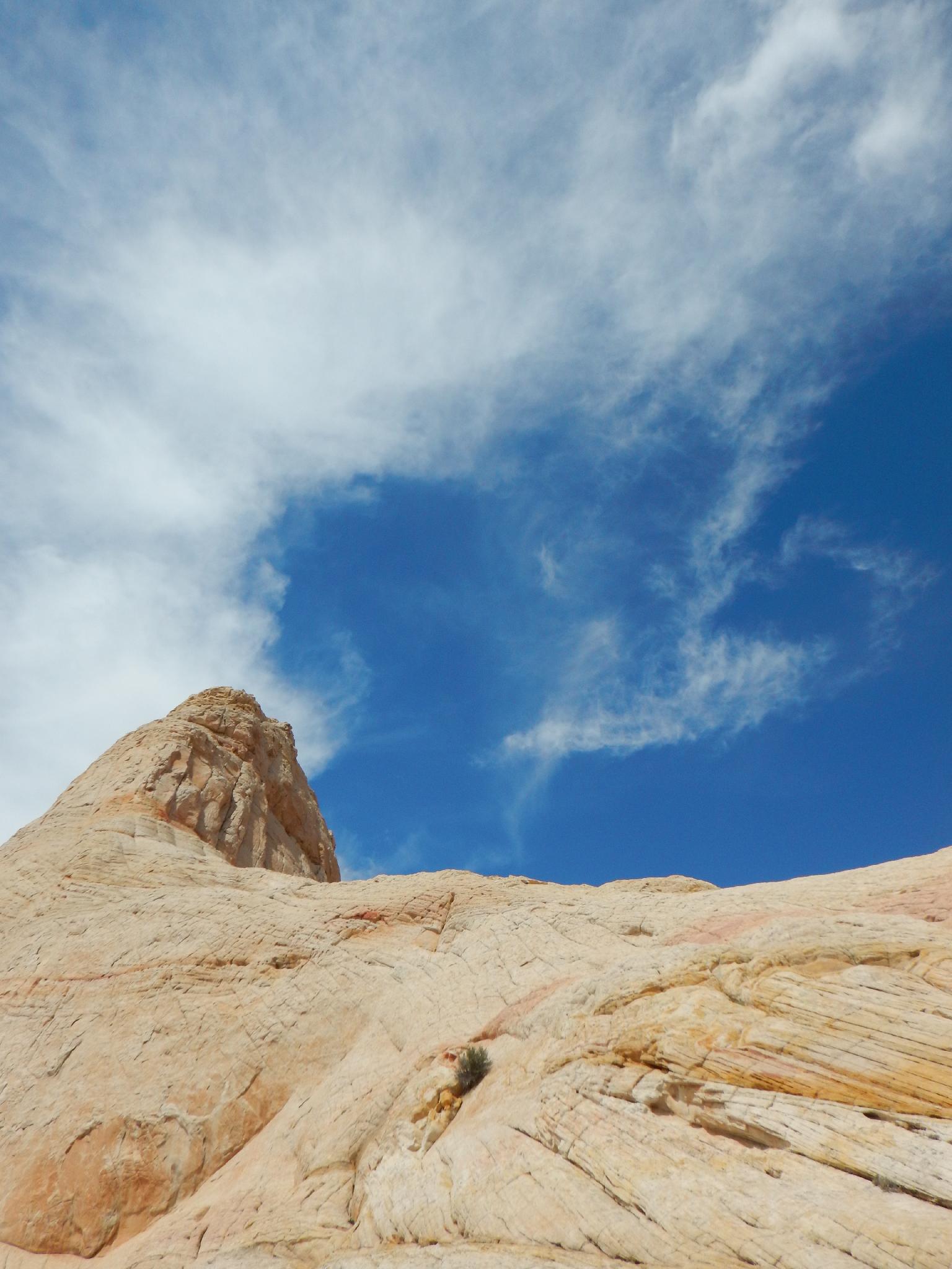
Once up the slope, the towering Shark Fin is visible. Contour around its south side and over a small and very colorful slickrock saddle. Stegosaur Canyon is visible directly below. The Sharks Fin is called Stegosaur by some, the dome to the south makes it look like a Stegosaur. This is a great lunch spot.
Pectol's Pyramid is visible to the south, as is Ferns Nipple to the even farther south. The Henry Mountains are far off in the east / a little south, and Boulder Mountain / The Aquarius Plateau is to the south and slight west.
Return the same way, or even better, traverse around the north side of the fin for more views before returning.
Maps

12S 480093E 4237878N
38°17'20"N 111°13'39"W
12S 480196E 4237942N
38°17'22"N 111°13'35"W
12S 478196E 4238157N
38°17'28"N 111°14'58"W
12S 478177E 4238521N
38°17'40"N 111°14'58"W
12S 478321E 4239028N
38°17'57"N 111°14'53"W
12S 478592E 4239016N
38°17'56"N 111°14'41"W