 Roadside Attraction
Miner's Park
Roadside Attraction
Miner's Park
Marysvale
Overview
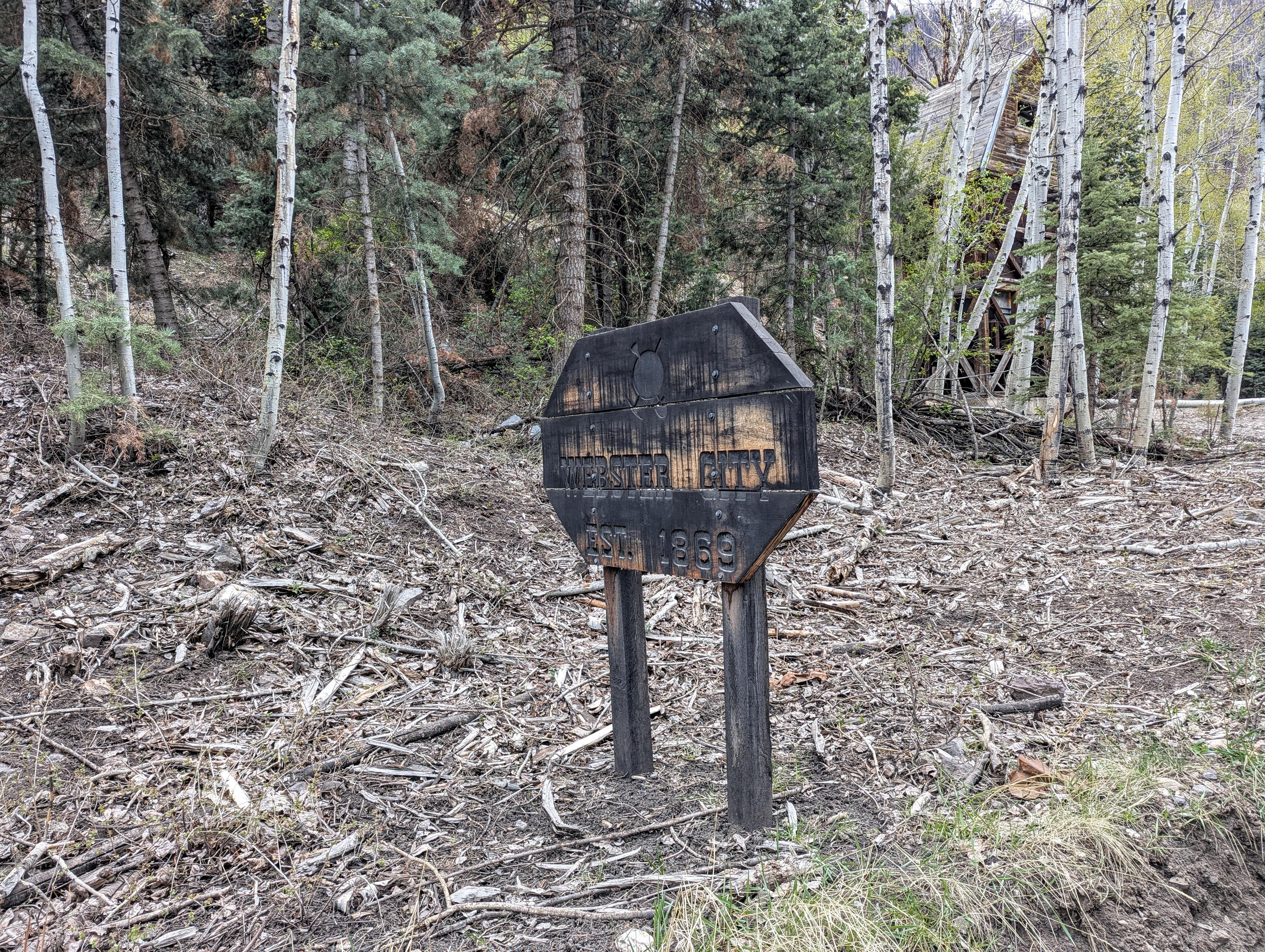
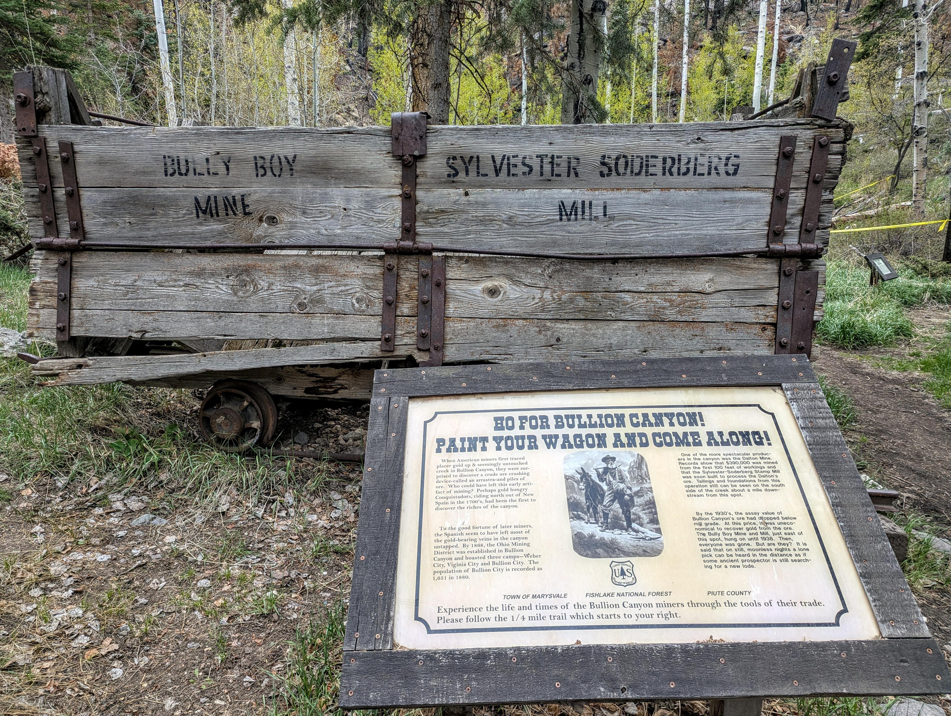
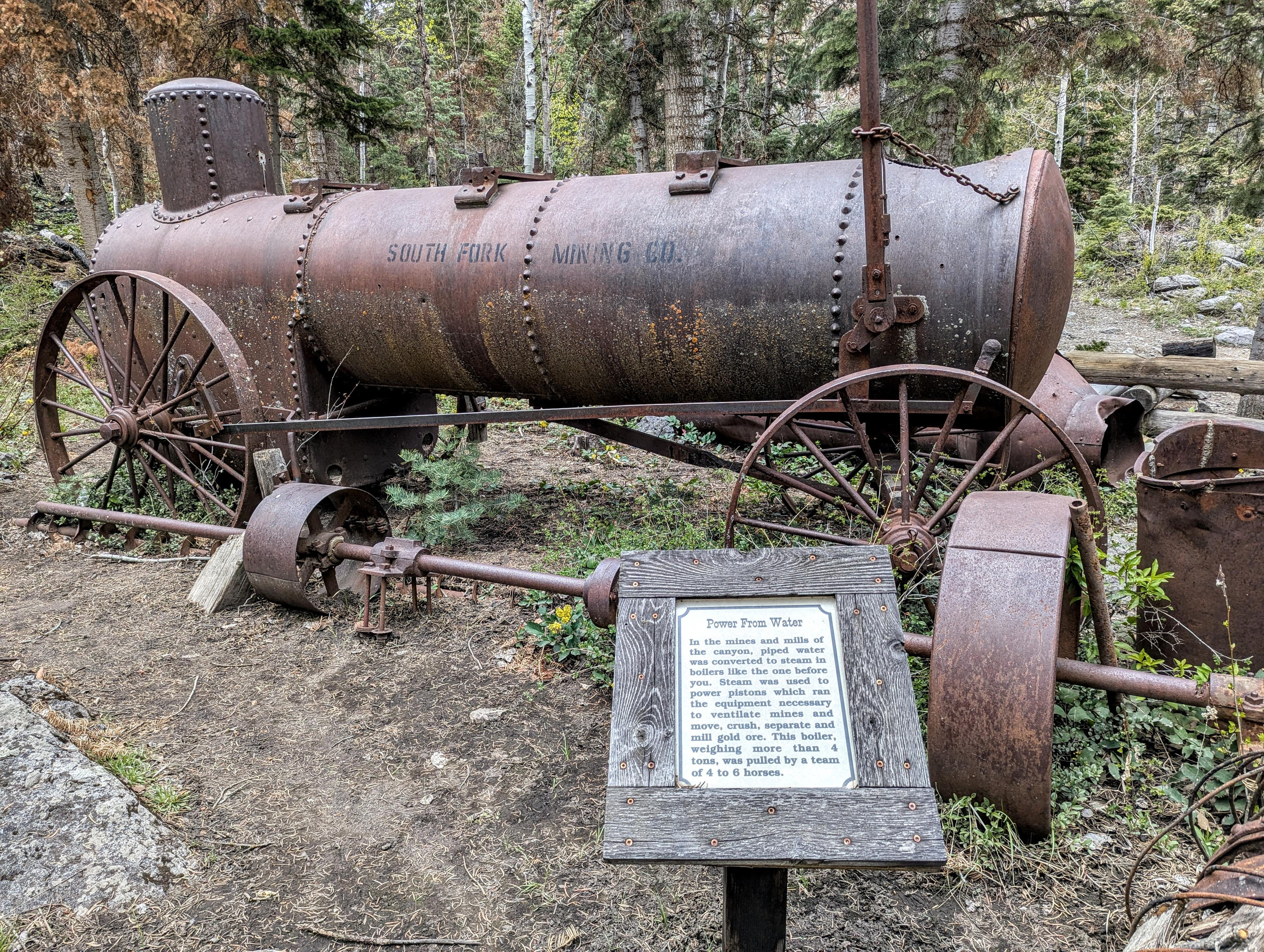
Miner's Park, nestled in the scenic Bullion Canyon just west of Marysvale, Utah, serves as a preserved gateway to the region’s frantic gold and silver rush of the late 19th century. The area became a focal point of activity in the late 1860s and 1870s when prospectors discovered rich veins of precious metals in the Tushar Mountains. This led to the establishment of Bullion City, which at its peak in the 1880s, boasted hundreds of residents, a post office, and several mills.
Activity waned, and by 1938 the last mill closed when it was no longer profitable. Today the area is preserved as a bit of an outdoor museum. There are many old artifacts and structures, with informational signs along the paths that visit the relics. It is an excellent place to spend some time.
Getting There
Reaching the trailhead starts in the small town of Marysvale. The road is a fairly good dirt road, though I would recommend medium clearance.
From US-89 that runs through town, turn east on Bullion Canyon Rd. This is signed for Miner's Park and Bullion Canyon.
Follow this west, taking a slight left at 1.2 miles and a slight right at 4.5 miles to continue on Bullion Canyon Road. About 6.2 miles the road crosses the creek, Pine Creek, and there is a parking for the Bullion Falls hike. Continue straight on the dirt road another 1/4 of a mile to Miiner's Park proper.
Route Description
When driving up the canyon, a few minutes after crossing the forest boundary, the first relics are visible on the right side of the road. In the next 2.5 miles are many relics from the mining history along the road. At about 2.5 miles is Miner's Park proper, with short walking trails among some ruins and relics as well as a pit toilet.
Maps

12S 383705E 4252281N
38°24'40"N 112°19'55"W
12S 384021E 4252366N
38°24'43"N 112°19'42"W