 Climbing
Chimney Rock
Climbing
Chimney Rock
Escalante
Overview
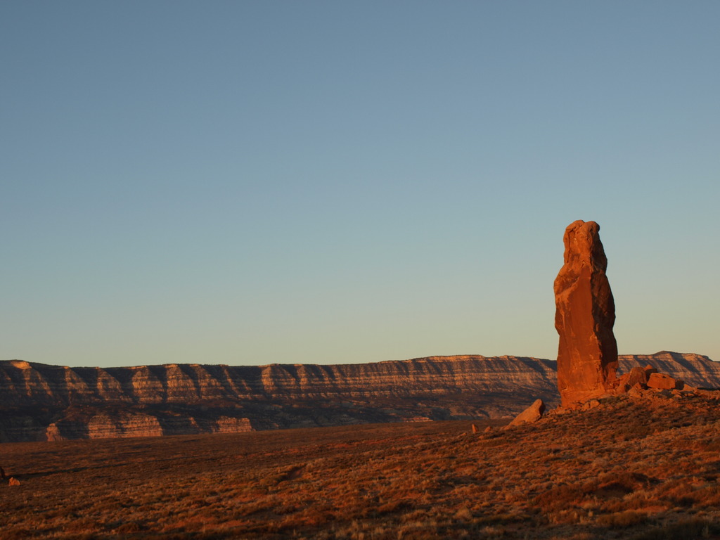
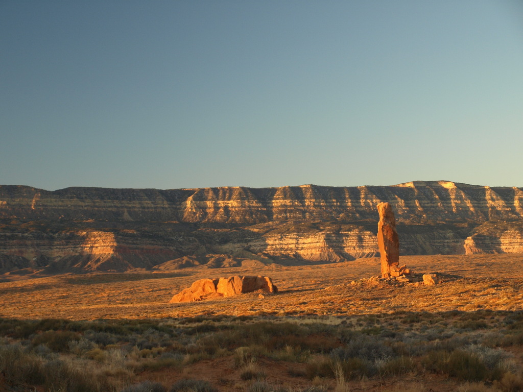
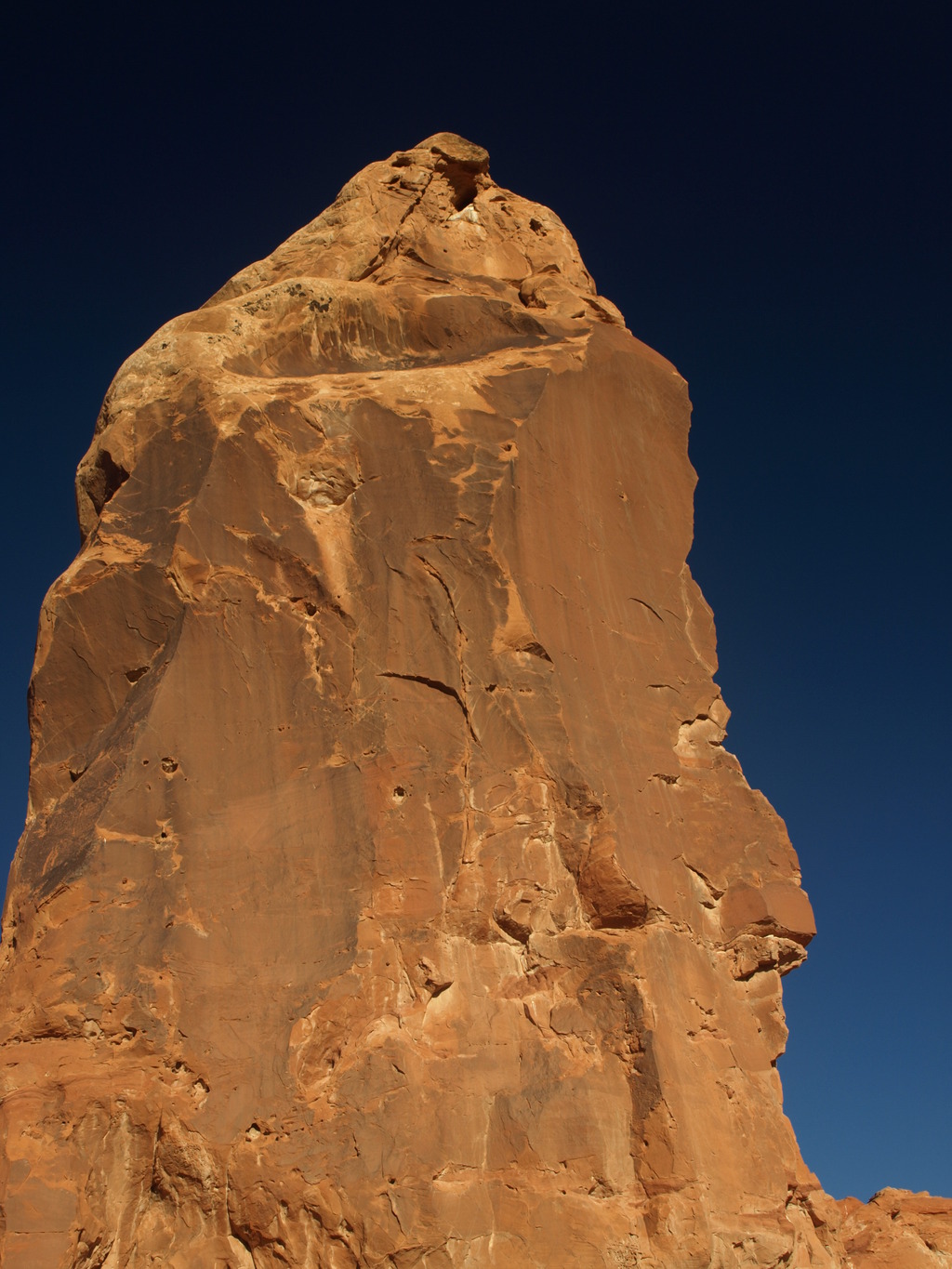
Chimney Rock is likely not the hardest tower you will ever climb, but it is certainly one of the proudest. The tower stands alone along the flat Hole In The Rock Road. It seems to defy it's surroundings and makes an impressive perch to view Grand Staircase-Escalante National Monument. To the east, Navajo Mountain to the south-east, King Mesa and slickrock country to the north, and the Kaiparowits Plateau to the south. The dirt road to its base is long, but this is a great adventure if you are in the neighborhood.
There is pretty good primitive camping near the base, as long as it's not windy, and plenty of solitude.
Getting There
Head east out of the town of Escalante about 5 miles on highway 12 until the well signed Hole in the Rock road on the south side of highway 12. Reset the odometer as you turn onto this road.
Route Description
Find the obvious bolt ladder on the north side. Many of the bolts do not have hangers, so river hangers, or wing-nuts and hangers (for the timid) work well. The route follows bolts up, and around the tower. It is simply a bolt ladder until the very top where a couple of easy (5.7) moves take you to the summit. A single 70 m ( 230 ft. ) rope will get you down.
Photos
Videos

Chimney Rock Escalante
Maps
12S 490477E 4140614N
37°24'44"N 111°06'27"W