
 Dead Horse State Park
Moab
Overview
I'm consistently impressed by the state parks in Utah. Everyone knows about the national parks, but the state parks often have incredible beauty without quite the crowds! Dead Horse State Park, near Canyonlands’ Island In The Sky is stunning with views similar to Island In the Sky.
The park offers great camping, easy roadside views, mountain bike trails, and over 6 miles of jaw-dropping hiking along the rim of the mesa. This makes an excellent alternative (or addition) to the nearby Island In the Sky.
What's in a name? Cowboys would drive wild horses to the point and then close off the narrowest section with a wooden fence. The cowboys would choose which horses they wanted to keep for themselves and the ones they wanted to take to sell, and then leave the rest to wander off. Legend is that one time a group of the horses left behind stayed on the point to eventually die of dehydration even though the gate was supposedly left open for them to leave.
Getting There
From Moab, head north on US-191 toward I-70. About 11 miles north of town is the junction with SR-313. This is also the road to Canyonlands. Follow SR-313 14.6 miles to the junction to Dead Horse Point. Turn left and go 4.2 miles to the entrance to the park.
Route Description
Recommendations
Roadside Attraction
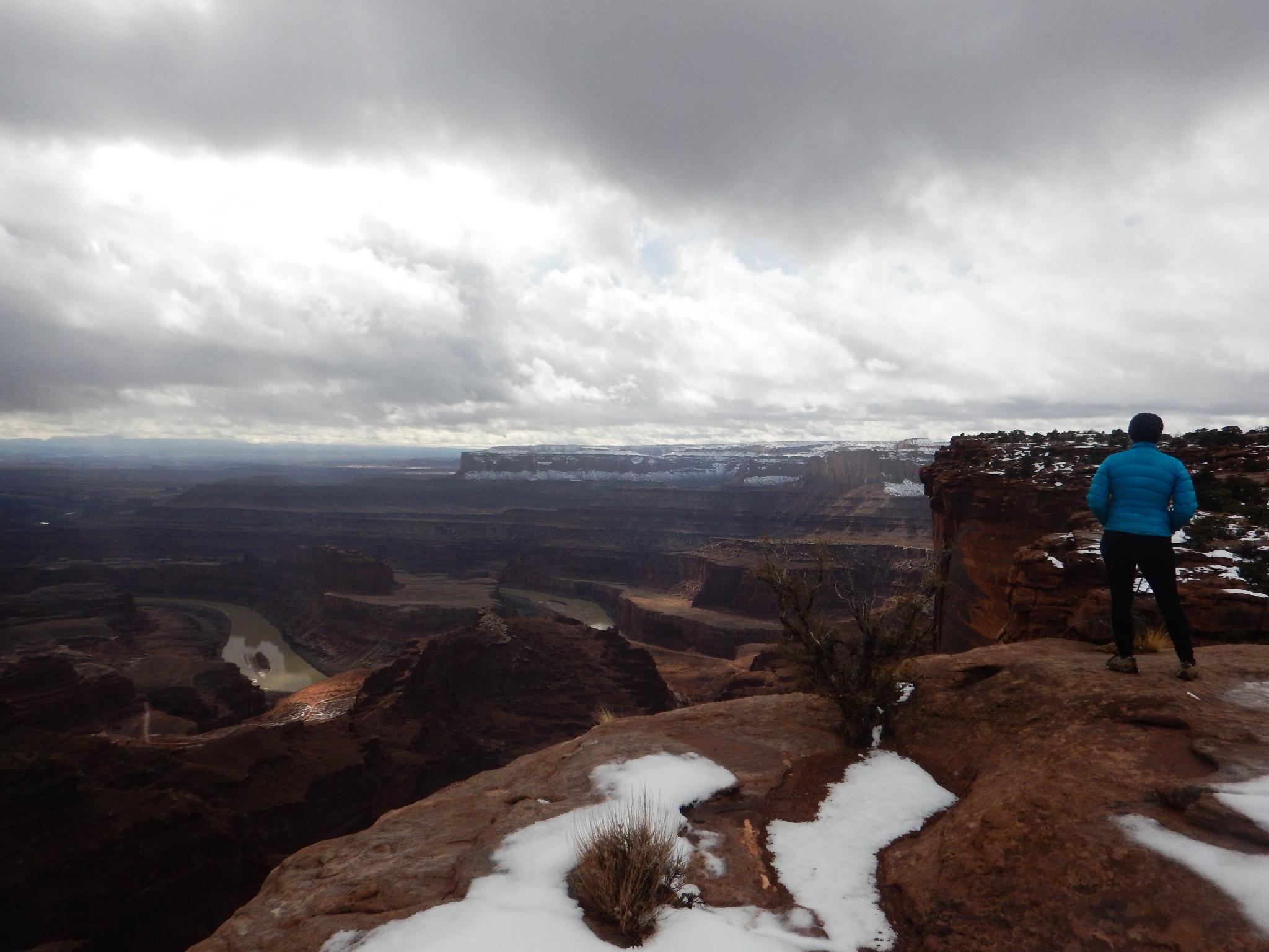
For families or the less motivated, start by driving to the end of the park road and viewpoint at Dead Horse Point proper. The views 2000 feet down to the Colorado River are incredible! A paved path allows for a nice wander along the point; afterwards stop back at the visitor center and take in somewhat less dramatic views from that overlook.
Hikers
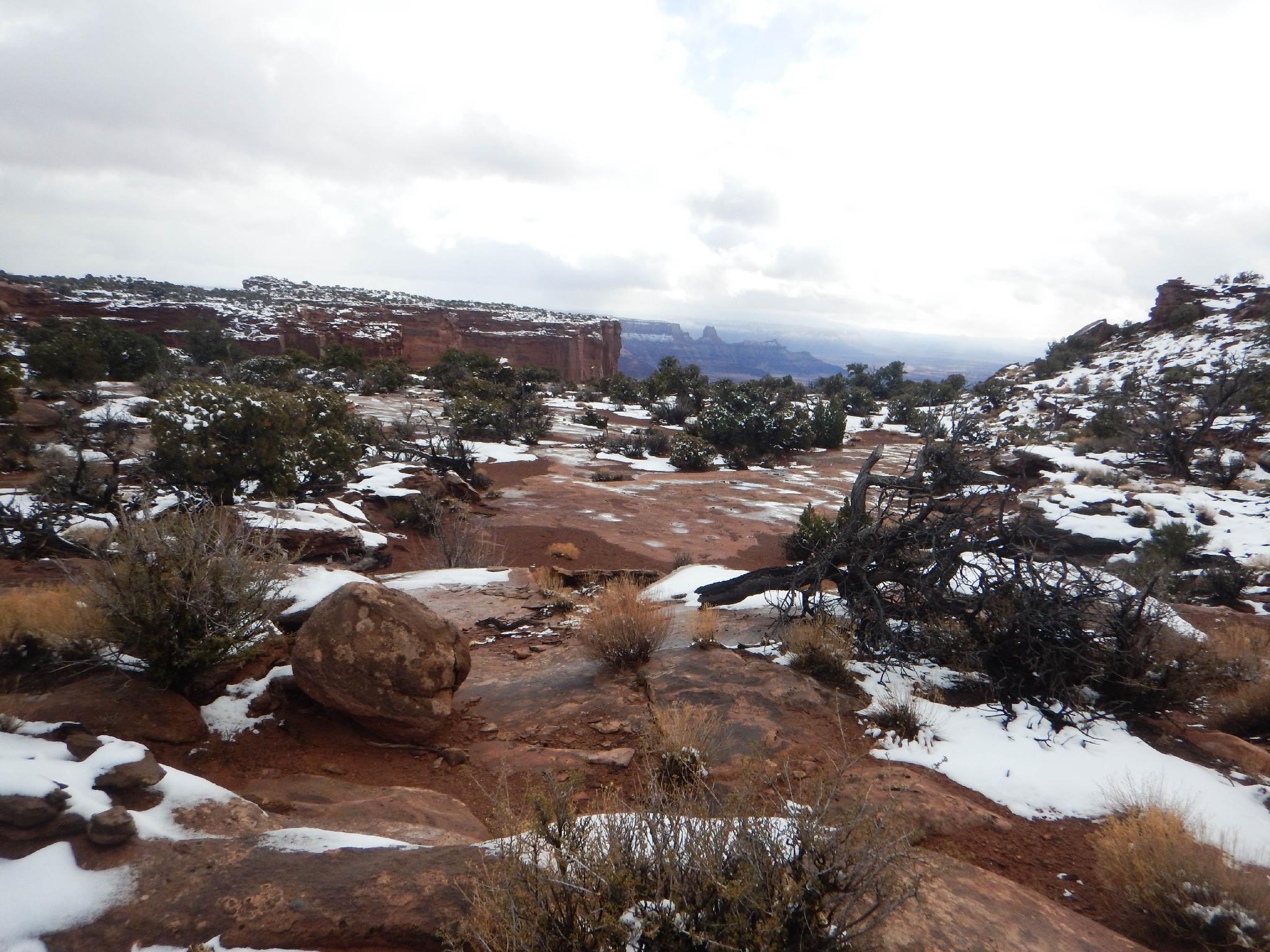
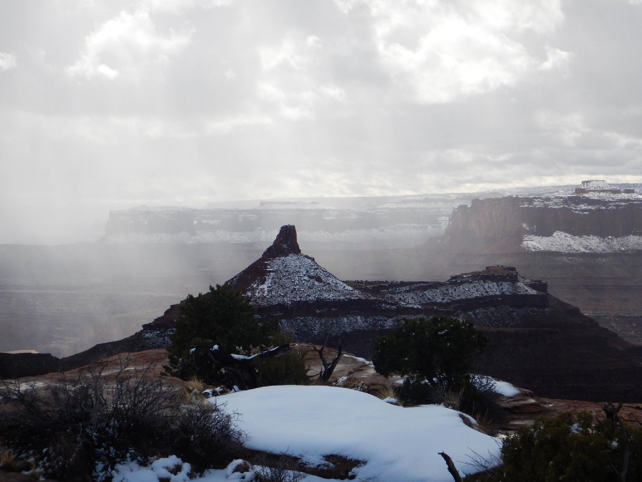
The park has several excellent trails. For my money, I would recommend the West Rim trail the highest. Linking the West Rim and East Rim trails and visiting all of the viewpoints along the way makes for about a 6-mile loop. Get an early start in the summer, the trail can be scorchingly hot in the heat. Finding the trail can be a minor problem in the winter if there is fresh snow.
Bikers
The park boasts the Intrepid Trail System, about 16 miles of continuous beginner and intermediate mountain bike trails. These are separate from the hiking trails, on the north end of the park near the entrance gate. Dogs are not allowed on the biking trails.
Photos
Maps

12S 609954E 4258732N
38°28'13"N 109°44'22"W
12S 609400E 4259699N
38°28'44"N 109°44'45"W
12S 609274E 4259814N
38°28'48"N 109°44'50"W
12S 609266E 4260622N
38°29'14"N 109°44'50"W
12S 609732E 4260628N
38°29'14"N 109°44'31"W
12S 610335E 4259793N
38°28'47"N 109°44'06"W
12S 610260E 4260690N
38°29'16"N 109°44'09"W