Bourbon Lake |

Western Uintas

Hiking Bourbon Lake - Western Uintas Hiking Bourbon Lake

Western Uintas

Overview

RATING: Easy/Moderate Hike
MAPS: WHITNEY RESERVOIR, UT

Fri

Partly sunny. High near 45, with temperatures falling to around 43 in the afternoon. West southwest wind around 10 mph.

45 | 24

Sat

A slight chance of rain showers after noon. Mostly sunny, with a high near 49. West wind 7 to 14 mph. Chance of precipitation is 20%.

49 | 26

Sun

A slight chance of rain showers after noon. Mostly sunny, with a high near 53. Chance of precipitation is 20%.

53 | 30

Mon

Mostly sunny, with a high near 50.

50 | 29

Tue

A slight chance of rain showers after noon. Mostly sunny, with a high near 55.

55 | 29

View Full Weather Details
SEASON: Summer, Fall
GEAR: Standard Hiking Gear
WATER: Filterable along most of the hike.

Fri

Partly sunny. High near 45, with temperatures falling to around 43 in the afternoon. West southwest wind around 10 mph.

45 | 24

Sat

A slight chance of rain showers after noon. Mostly sunny, with a high near 49. West wind 7 to 14 mph. Chance of precipitation is 20%.

49 | 26

Sun

A slight chance of rain showers after noon. Mostly sunny, with a high near 53. Chance of precipitation is 20%.

53 | 30

Mon

Mostly sunny, with a high near 50.

50 | 29

Tue

A slight chance of rain showers after noon. Mostly sunny, with a high near 55.

55 | 29

View Full Weather Details
The lake under moody skies.

The lake under moody skies.

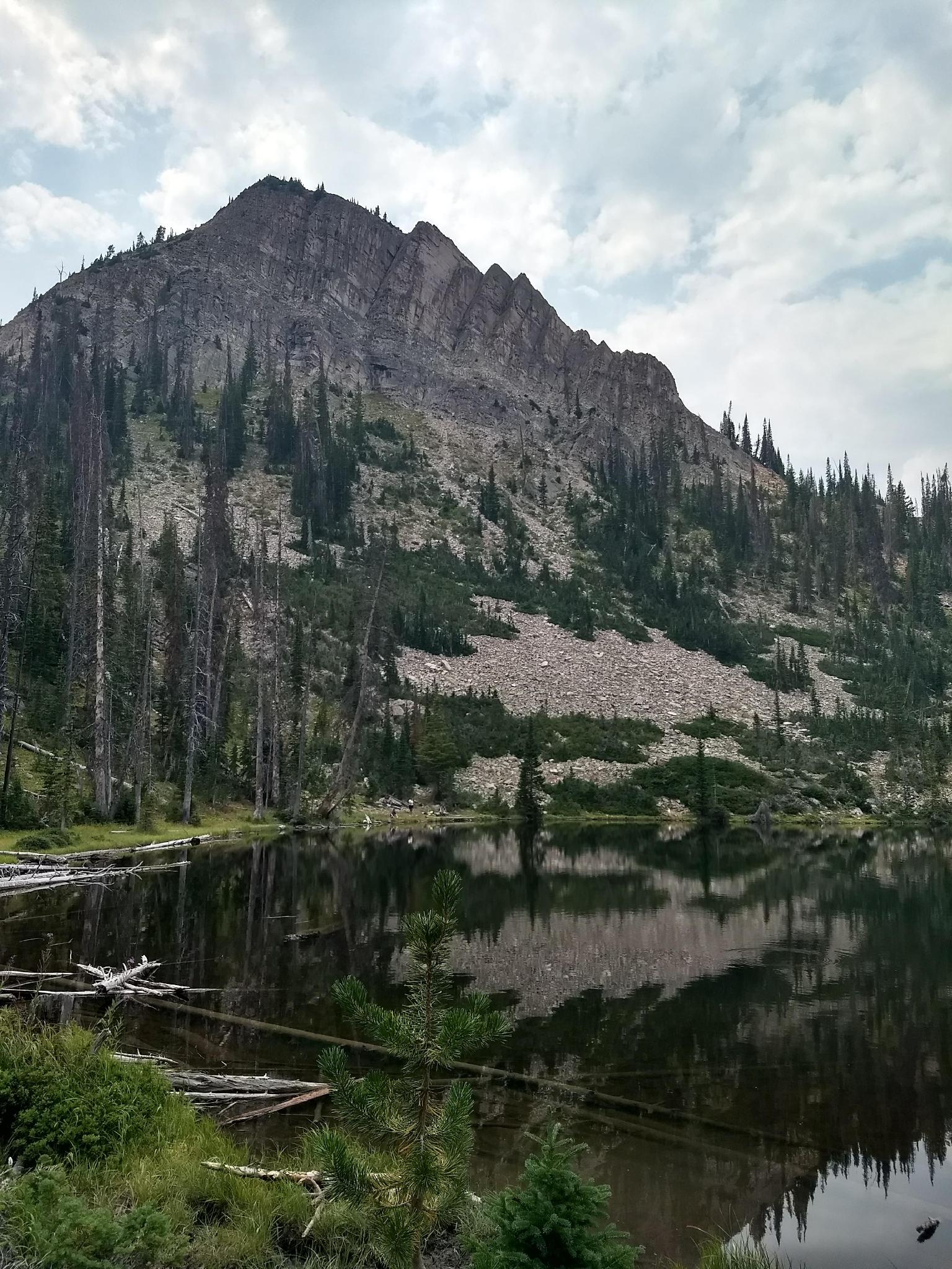
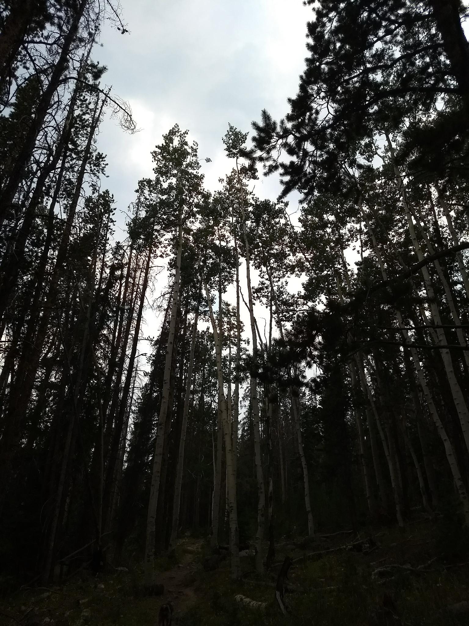
This hike is almost the complete opposite to the very nearby Whiskey Island Lake hike. Unlike Whiskey Island Lake, the trailhead is reached by pavement, the trail is well marked, and well, the lake is popular. Don't let the popularity deter you; this is a beautiful lake tucked under a minor peak.

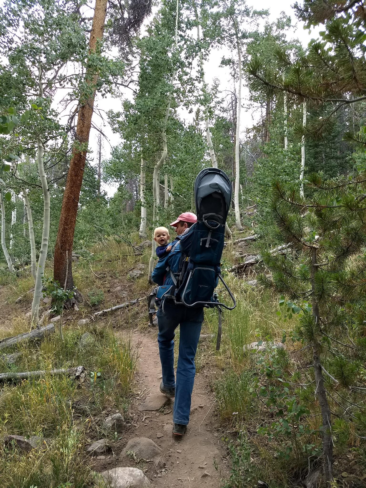
The hike feels steeper than the topo map would lead you to believe; however, there are a few lazy switchbacks along the way. Children should enjoy this one, as it will be within many of their abilities.

Note: Keep an eye out on the hike for moose, as we saw one a few feet from the trail on our visit. If you see one, be sure to give it plenty of space. Moose are big, powerful creatures that can be aggressive if they feel threatened.
Bourbon Lake nestled below an unnamed minor peak.

Bourbon Lake nestled below an unnamed minor peak.

Trailhead sign.

Trailhead sign.

Getting There

Note: The Mirror Lake highway that is used to access this hike is closed in the winter. The gate is typically open from Memorial Day until late October, but if planning this hike on the shoulder season, call the forest service to see if it is open. ((801) 466-6411)

The trailhead is off of the Mirror Lake Highway at milepost 39. This is 39 miles out of Kamas, UT on UT-150. This is also about 39 miles south of Evanston Wy on the Mirror Lake Highway.

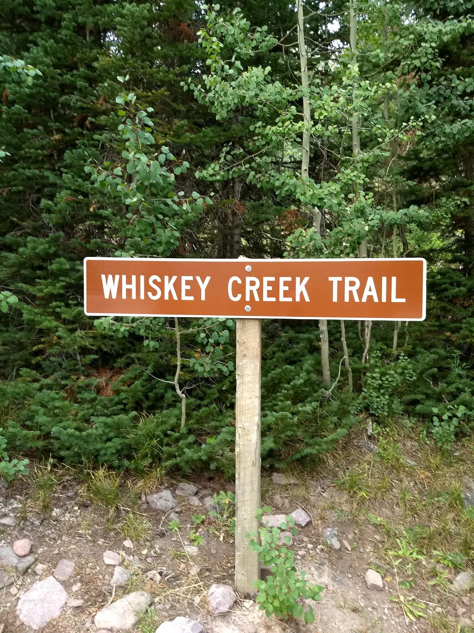
The trailhead is signed the Whiskey Creek Trail, and is on the opposite side of the road of the Sulphur Campground.

Ruby and Ryan getting started on the trail.

Ruby and Ryan getting started on the trail.

Forested views.

Forested views.

Route

From the Whiskey Creek Trailhead, the trail meanders up along Whiskey Creek. It passes a fenced area that protects the source of water for the campground near the trailhead. Continue up to a minor junction. Go right here, leaving the creek behind Left goes a short distance to a bench along Whiskey Creek and makes for a good break spot.

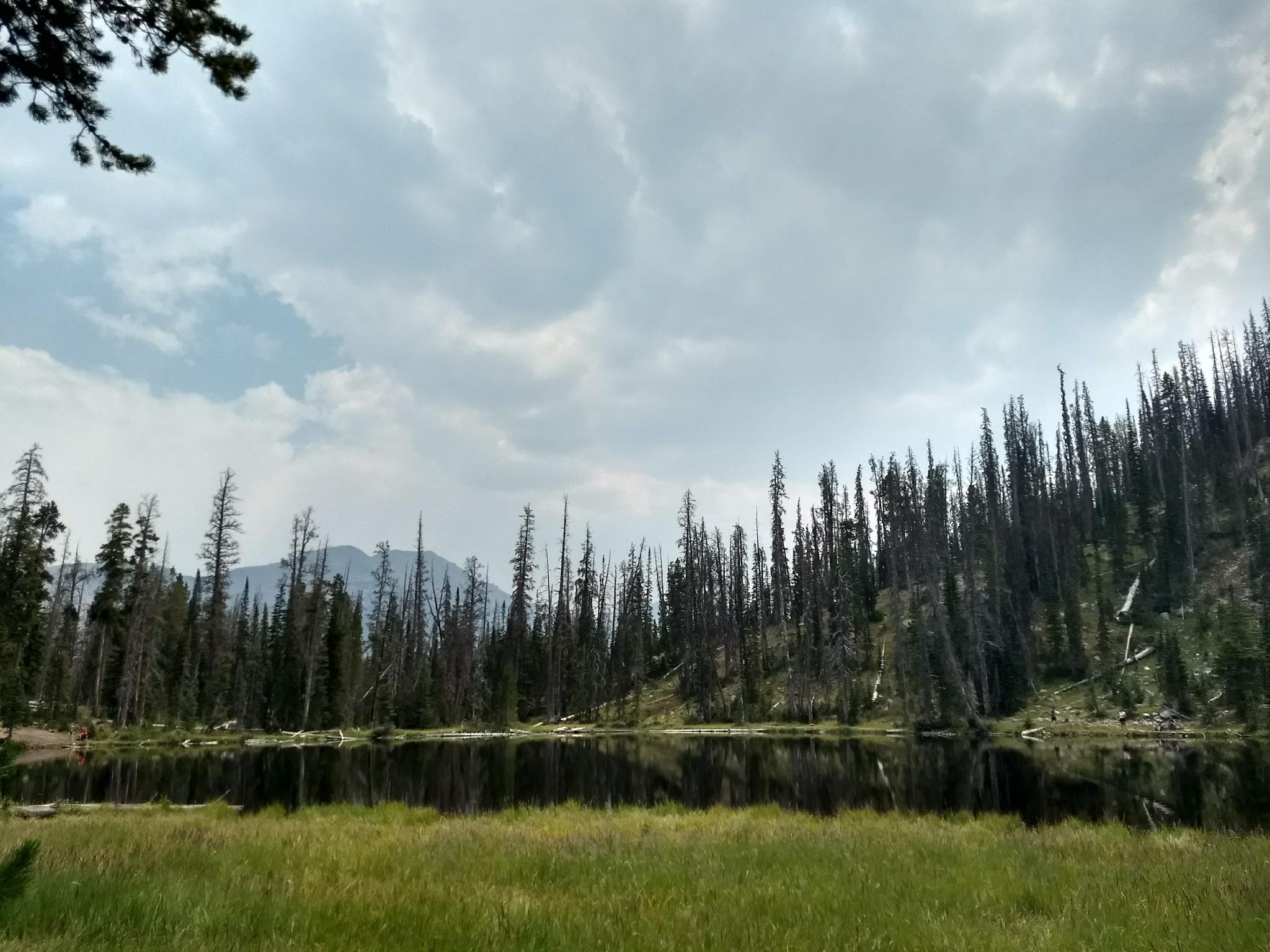
The trail continues gaining elevation before flattening a bit and passing a minor pond. Just past the small pond is the lovely Bourbon Lake. There are a few good camping spots around the lakeshore, making it an excellent short backpacking destination. Though there were many fishermen on the day we visited, I didn't see any with fish!


Maps

Route / 2.78 miles / Elevation Range 9,152 - 9,831 ft.
Printable Maps:
Trailhead

12T 509613mE 4515207mN

N40° 47' 16" W110° 53' 10"

Jct - Right

12T 509367mE 4515109mN

N40° 47' 13" W110° 53' 20"

Bourbon Lake

12T 508611mE 4514863mN

N40° 47' 05" W110° 53' 53"

Comments

Want to make a comment? Login and let yourself be heard.