 Hiking
Hourglass Lake
Hiking
Hourglass Lake
Western Uintas
Overview
Sometimes the Mirror Lake Highway can feel crowded with trails and lakes seeing much traffic on summer weekends. Hourglass Lake proves, if you are willing to work a bit, there is still solitude and infrequently visited spots to be found! The hardest part of reaching Hourglass Lake is reaching the trailhead. The road is typical of many Uinta mountains road, ROCKY! Expect about 6 miles of bumpy, rocky, teeth jarring road. A 4-Wheel drive vehicle is required, as is patience.
The reward for the difficult road is an area with several quite pretty lakes and ponds. The area sees some use, but the rough road deters all but the most determined. We saw no recent signs of visitors on our trip and enjoyed having the area to ourselves for the day. Fish were jumping at Hourglass and Little Elk Lakes, so bring a pole if fishing is your interest.
Getting There
Head east out of Kamas on the Mirror Lake Highway. Follow the Mirror Lake Highway for 10.55 miles to a side road on the left. This side road, Forest Service road #035 is the road to the trailhead. It has, particularly in the first mile or so, quite a few side roads and small camping sites. Stay on the main road (#035) unless a specific junction is mentioned.
Route Description
From the junction of roads 035 and 916, go left. Park anywhere here or continue driving about 0.5 miles on road 916 to its end. The end of the road is at a lovely small pond and wetland. Follow a bit of a cow/social trail on the right (east) side of the pond. Continue northeast through the grassland at the end of the pond. A small rocky hill is to the left (west here). Follow the base of this hill passing through another small clearing to a second larger clearing. Here the rocky hillside becomes a bit lower angled and allows easier passage.
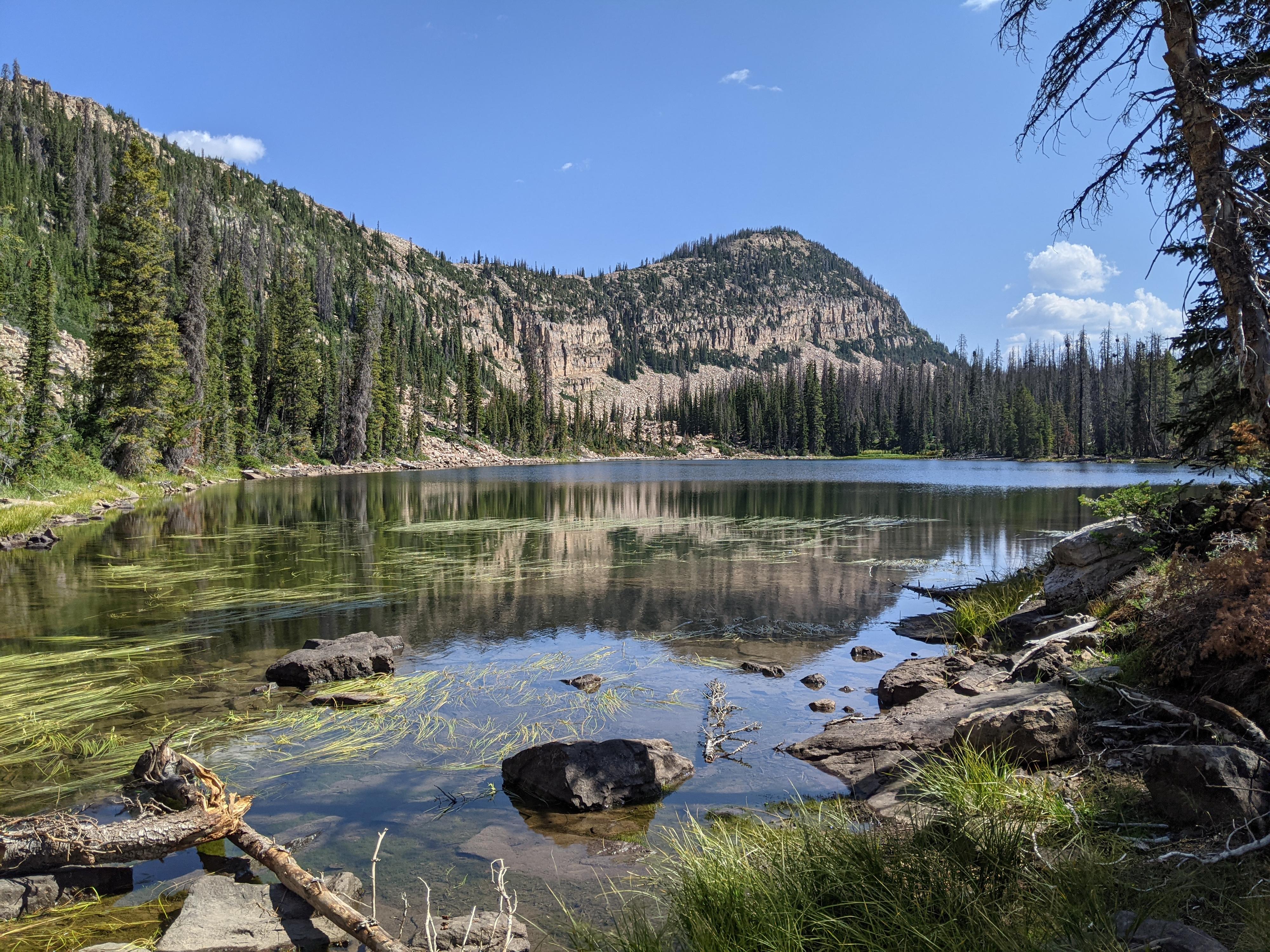
Hike up the hillside, then northwest to Hourglass Lake. The lake sits at the base of a rocky slope. A quick walk around the lake and it is easy to see where it got its name.
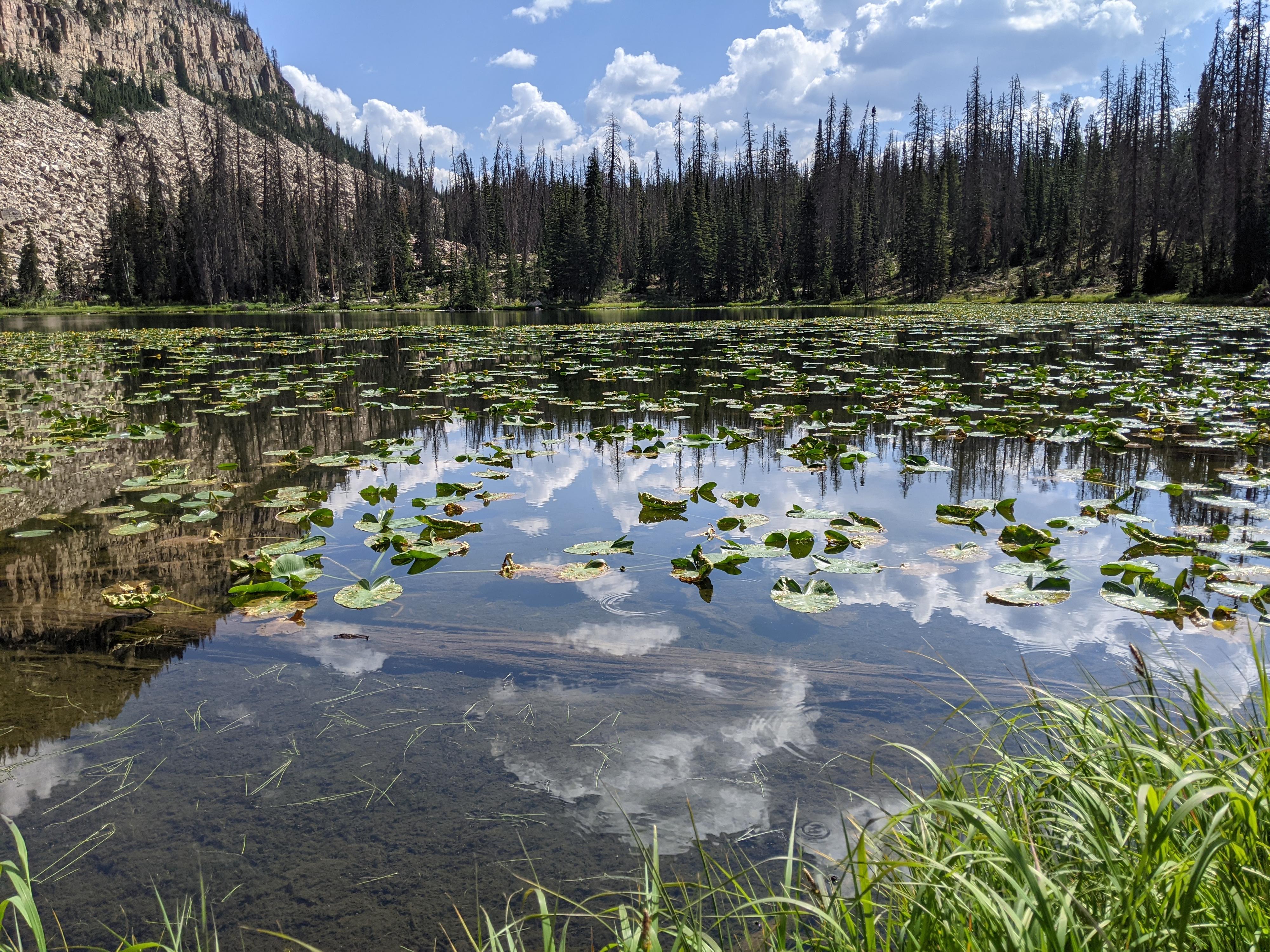
From Hourglass Lake, if you continue north along the base of the rocky ridge, a second lake is reached. This lake, though unnamed, is also quite pretty and was about half covered by lily pads during our visit.
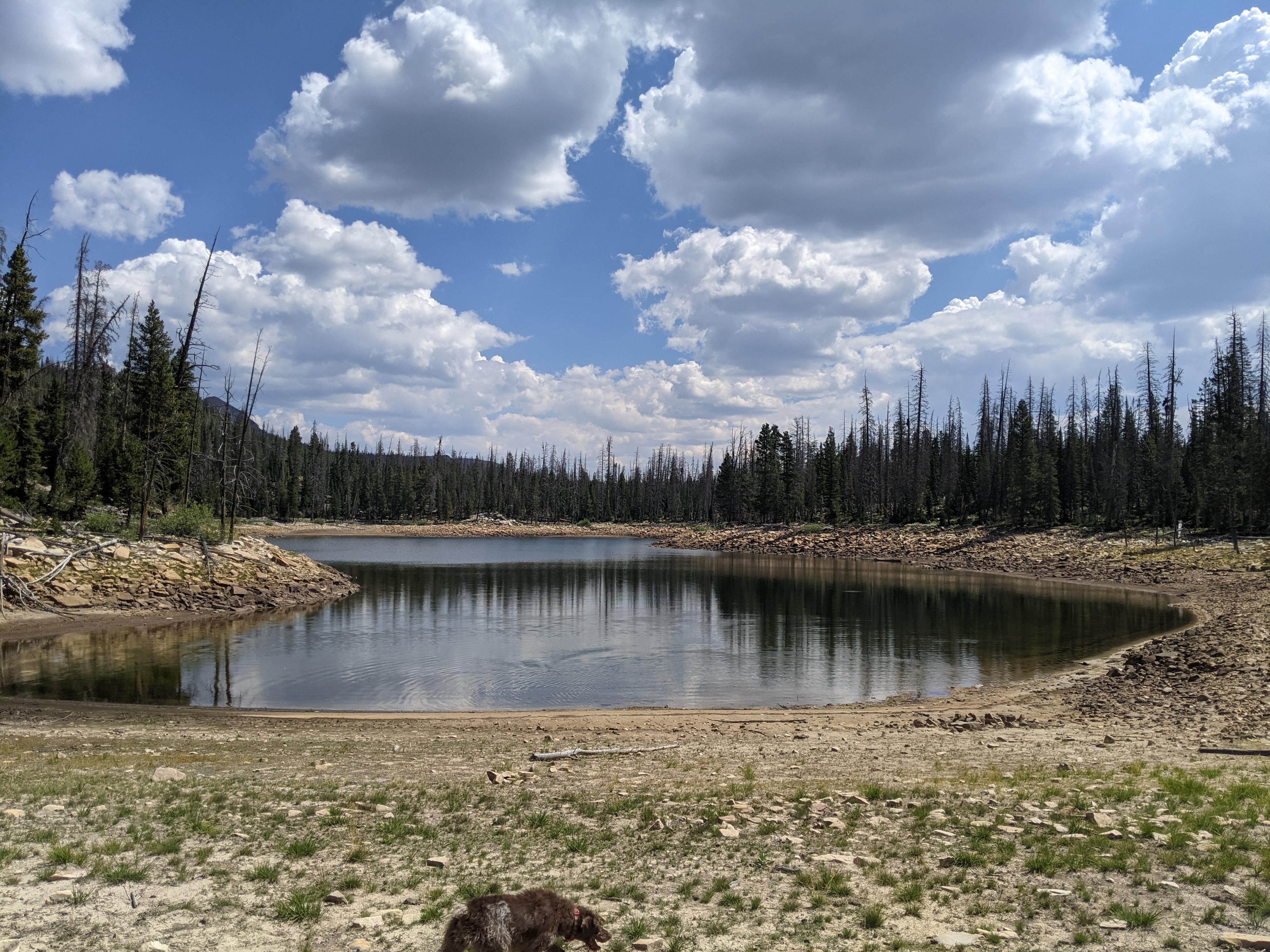
Finally, head south from the unnamed lake, and descend a steep section. This steep section had several good game trails, so if you find it difficult, look around for an easier route. You will likely reach the bottom near the large grassy area you left enroute to Hourglass Lake. Once down the hill, head a bit northeast to reach Little Elk Lake. On our visit, the lake was exceptionally low and not as picturesque as the others.
To return, you can retrace your steps back to the large grassy meadow, the back to the trailhead or head east to intersect road 035 and follow it back southeast to the trailhead. We chose the longer loop, returning on road 035 shown on the map.
Photos
Maps
12T 493697E 4499866N
40°38'59"N 111°04'28"W
12T 494012E 4500366N
40°39'15"N 111°04'15"W
12T 494372E 4500876N
40°39'31"N 111°03'60"W
12T 494196E 4501083N
40°39'38"N 111°04'07"W
12T 494301E 4501351N
40°39'47"N 111°04'03"W
12T 494568E 4500963N
40°39'34"N 111°03'51"W
12T 494688E 4500659N
40°39'24"N 111°03'46"W