
 Hiking
Reids Peak
Hiking
Reids Peak
Western Uintas
Overview
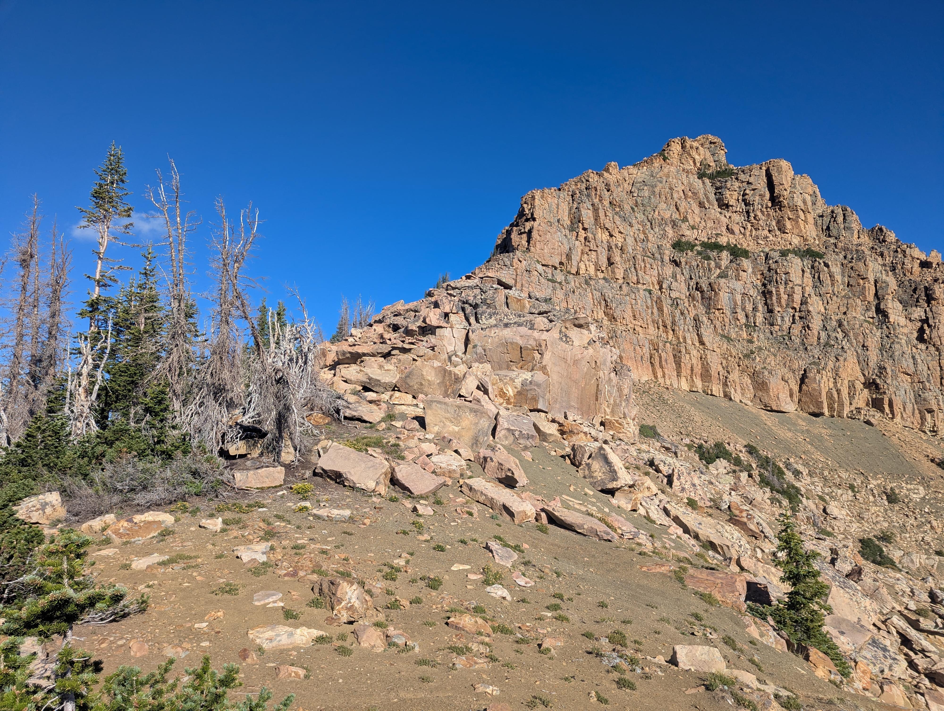
A stone's throw from the very popular Bald Mountain, Reids Peak is much less visited. The peak, especially from the northeast, has a very dramatic and imposing look. More so, to my eye, than Bald Mountain.
Looks can be deceiving though! Though it looks rugged and difficult from some aspects, the route up is straightforward with just a spot or two of scrambling. The route is steep and loose in sections, though. I wouldn't recommend this to beginners, but to those with some peak bagging experience, it is a lot of fun.
Getting There
The trailhead is at mile post 29.1, which is 29.1 miles from Kamas Utah on highway 150, or about 48 miles south of Evanston Wyoming on highway 150. The Mirror Lake highway is closed from late fall to about Memorial Day. The trail would likely be very snowy until late June in most years.
The trailhead has a pit toilet and a large parking area. It is well signed.
Route Description
From the Bald Mountain Trailhead, follow the trail north from the parking lot. A pit toilet and a couple of picnic tables are available at the trailhead. Just a couple of minutes from the parking lot, the trail splits. To the right is the Bald Mountain trail that climbs steeply to the summit of Bald Mountain. Go left on the North Lake trail.
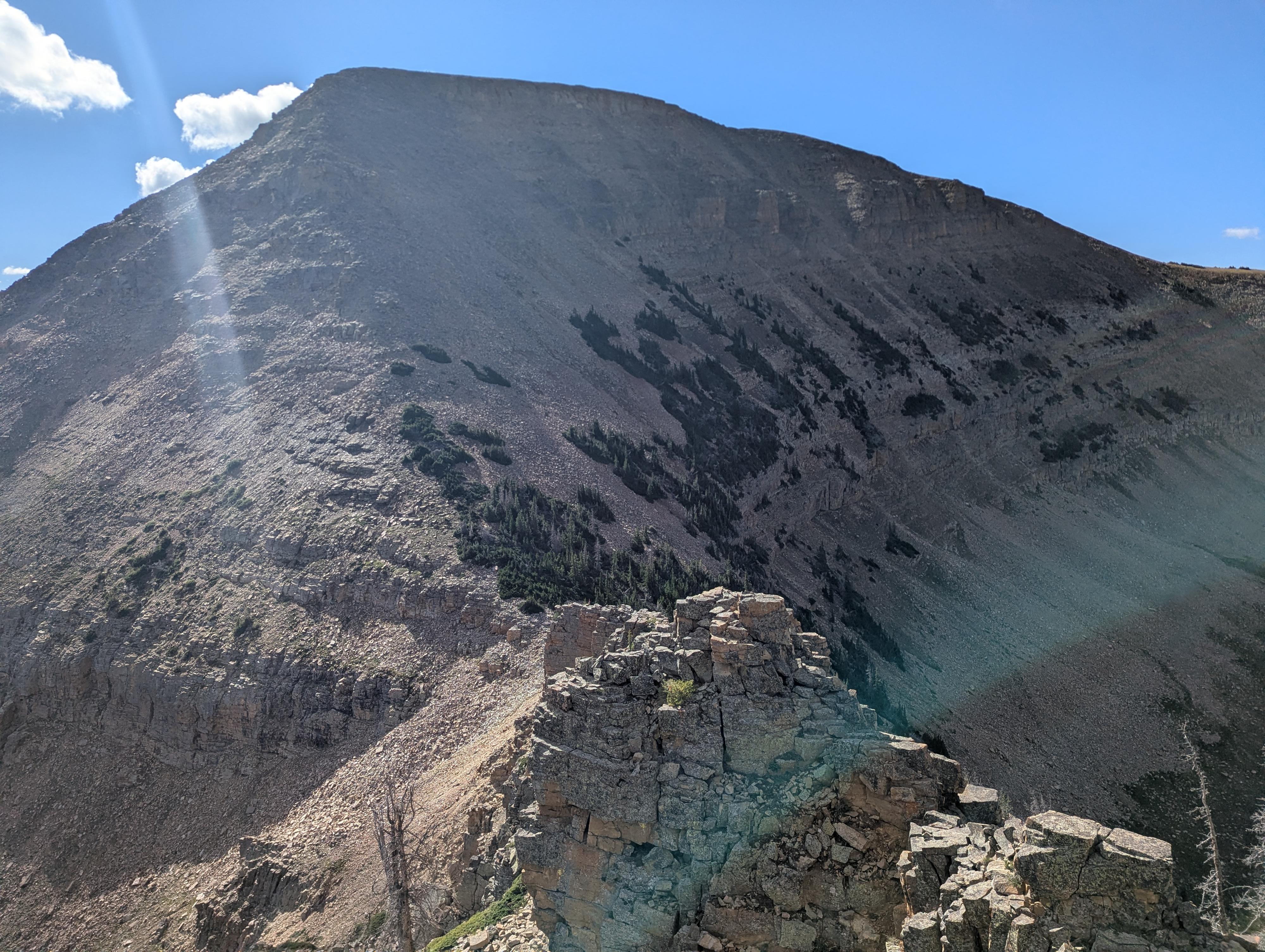
The trail ambles west below Bald Mountain with some gentle ups and downs and great views. Once past the corner of Bald Mountain, you can see the notch between Bald Mountain on the right and Reids Peak on the left. The goal is to head for that notch. There are a few animal/social trails that head that way, but there doesn't seem to be a standard, well-defined trail. Head toward the notch using the path of least resistance.
Just west of the base of the notch, the goal is to start heading up to the ridge. Again, there doesn't seem to be a defined route at the bottom, but as you head up, a more defined social trail and cairns begin appearing. The first part of this is over boulders, then steep and loose. Once at the ridge proper, the going is easier.
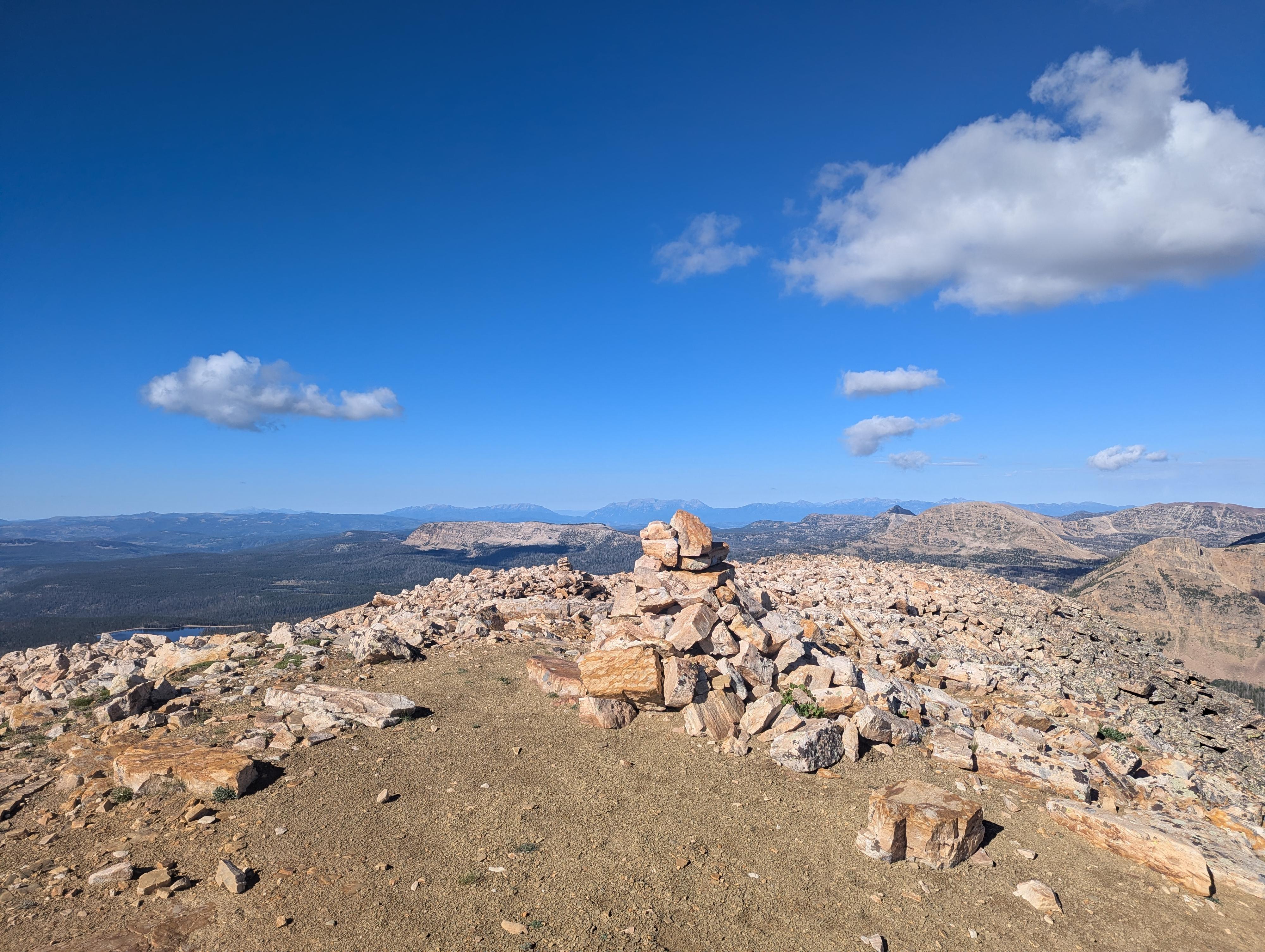
Follow the ridge/social trail up. There are two spots that require a little scrambling. If you choose a good spot to climb, though, both are low exposure and easy 4th class. Then continue up to the summit proper.
Photos
Maps
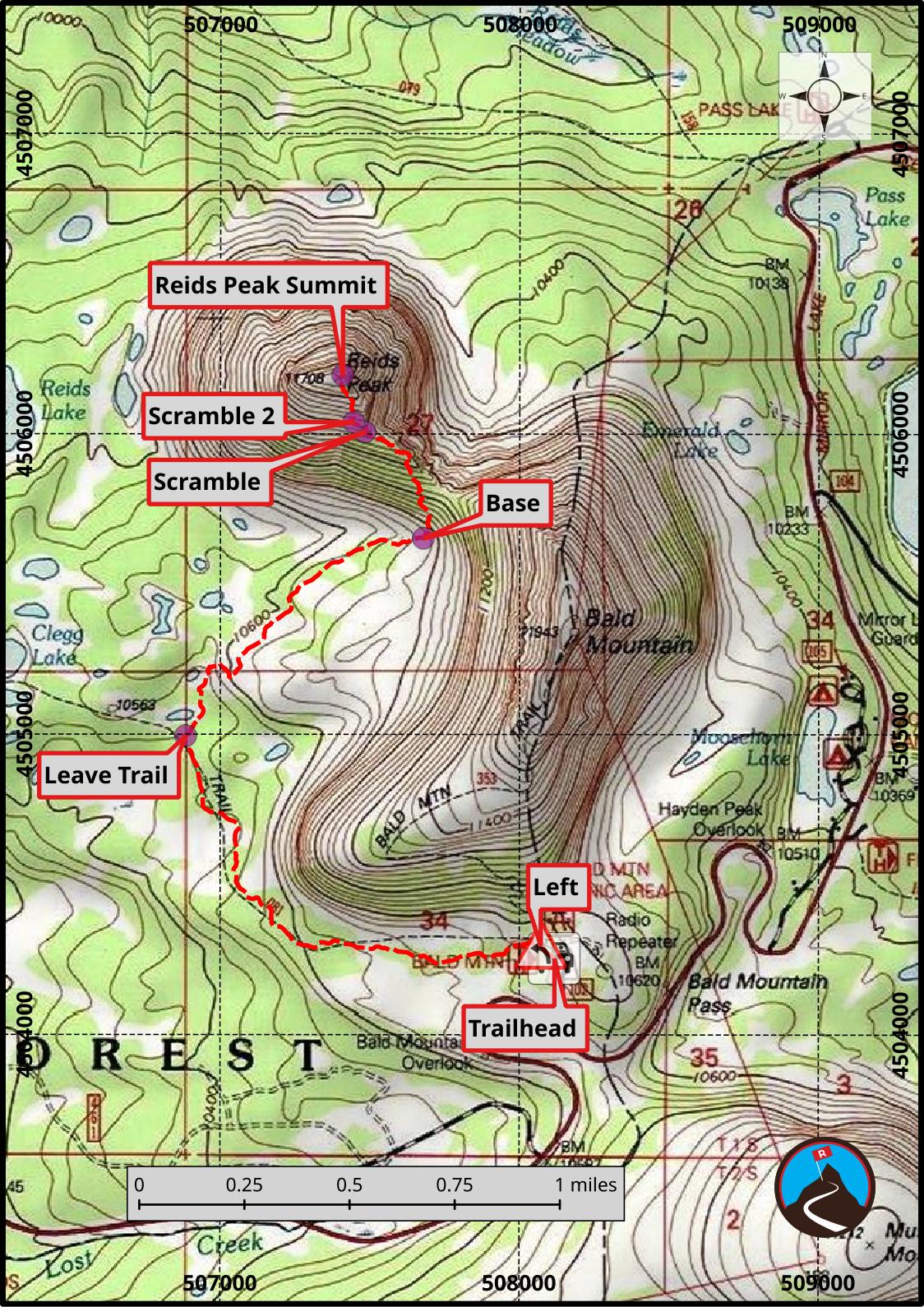
12T 508117E 4504253N
40°41'21"N 110°54'14"W
12T 508071E 4504296N
40°41'22"N 110°54'16"W
12T 506884E 4504994N
40°41'45"N 110°55'07"W
12T 507678E 4505652N
40°42'06"N 110°54'33"W
12T 507483E 4506006N
40°42'18"N 110°54'41"W
12T 507446E 4506039N
40°42'19"N 110°54'43"W
12T 507409E 4506196N
40°42'24"N 110°54'44"W