 Hiking
Big Hole Canyon
Hiking
Big Hole Canyon
Northern Swell
Overview
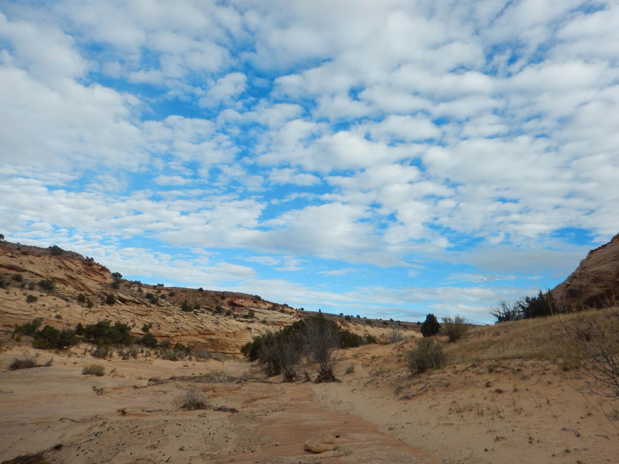
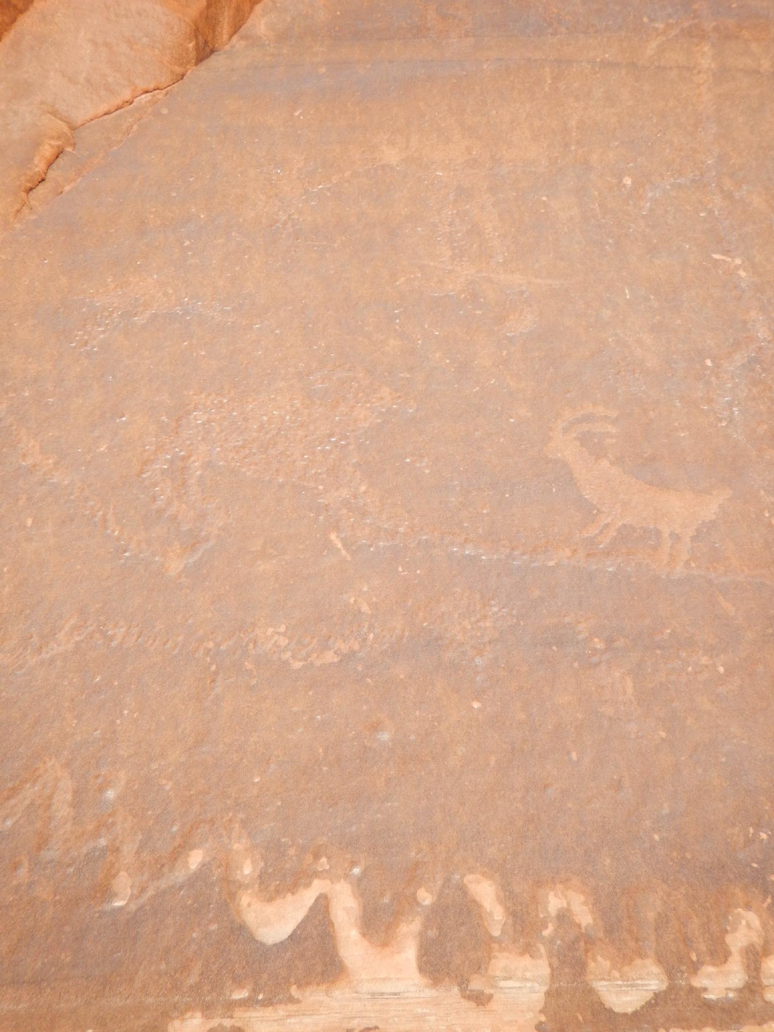
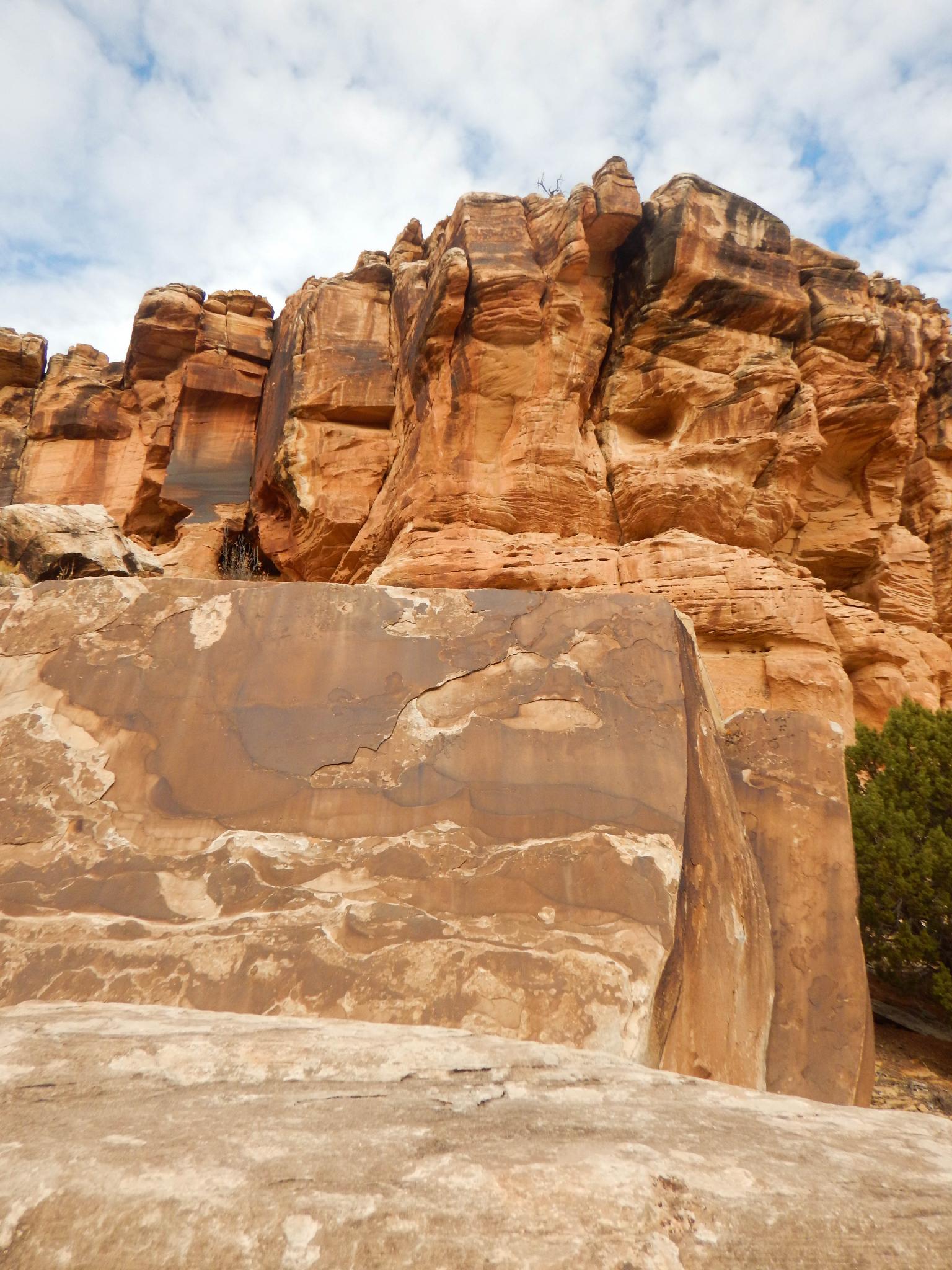
A pleasant hike with an uninteresting name, Big Hole is charming in its own way. The hike starts inconspicuously on the eastern side of the San Rafael Swell and increases in beauty the further you hike. About a mile up , as the canyon begins cutting into the Navajo Sandstone, a very old and faded petroglyph panel is visible. This would make a great, short family destination or evening stroll.
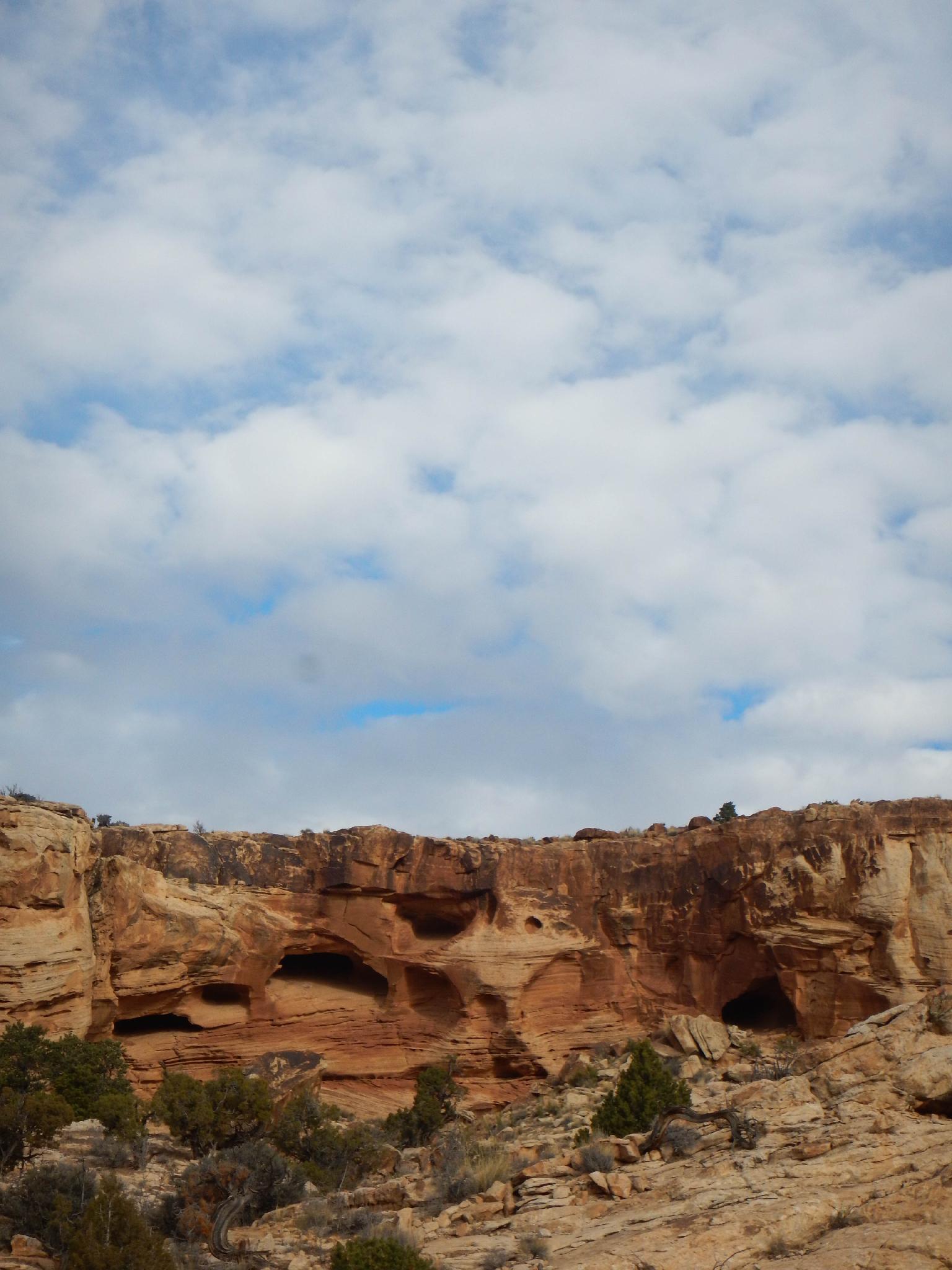
Motivated hikers can continue another 2-2.5 mile to the end of Big Hole canyon where a dryfall and the canyon’s likely namesake, a big hole, mark the end of the hike. The hike above the panel is colorful, with striking textured walls, hanging alcoves, and a water sculpted canyon bottom.
There are more dramatic and popular hikes in the Swell, but I would recommend Big Hole for its understated charm. Certainly, we enjoyed hiking this infrequently visited canyon. The trailhead has decent primitive camping.
Getting There
To reach the trailhead, take the Green River cutoff from highway 6 between Price and I-70. This good dirt road travels west off highway 6 at mile marker 283.2 (16.4 miles north of I-70 on highway 6).
Route Description
Rock art and historic sites are fragile, non-renewable cultural resources that, once damaged, can never be replaced. To ensure they are protected, please:
- Avoid Touching the Petroglyphs: Look and observe, BUT DO NOT TOUCH!
- Stay on the Trails: Stay on the most used trails when visiting sites, and don't create new trails or trample vegetation.
- Photography and Sketching is Allowed: Do not introduce any foreign substance to enhance the carved and pecked images for photographic or drawing purposes. Altering, defacing, or damaging the petroglyphs is against the law -- even if the damage is unintentional.
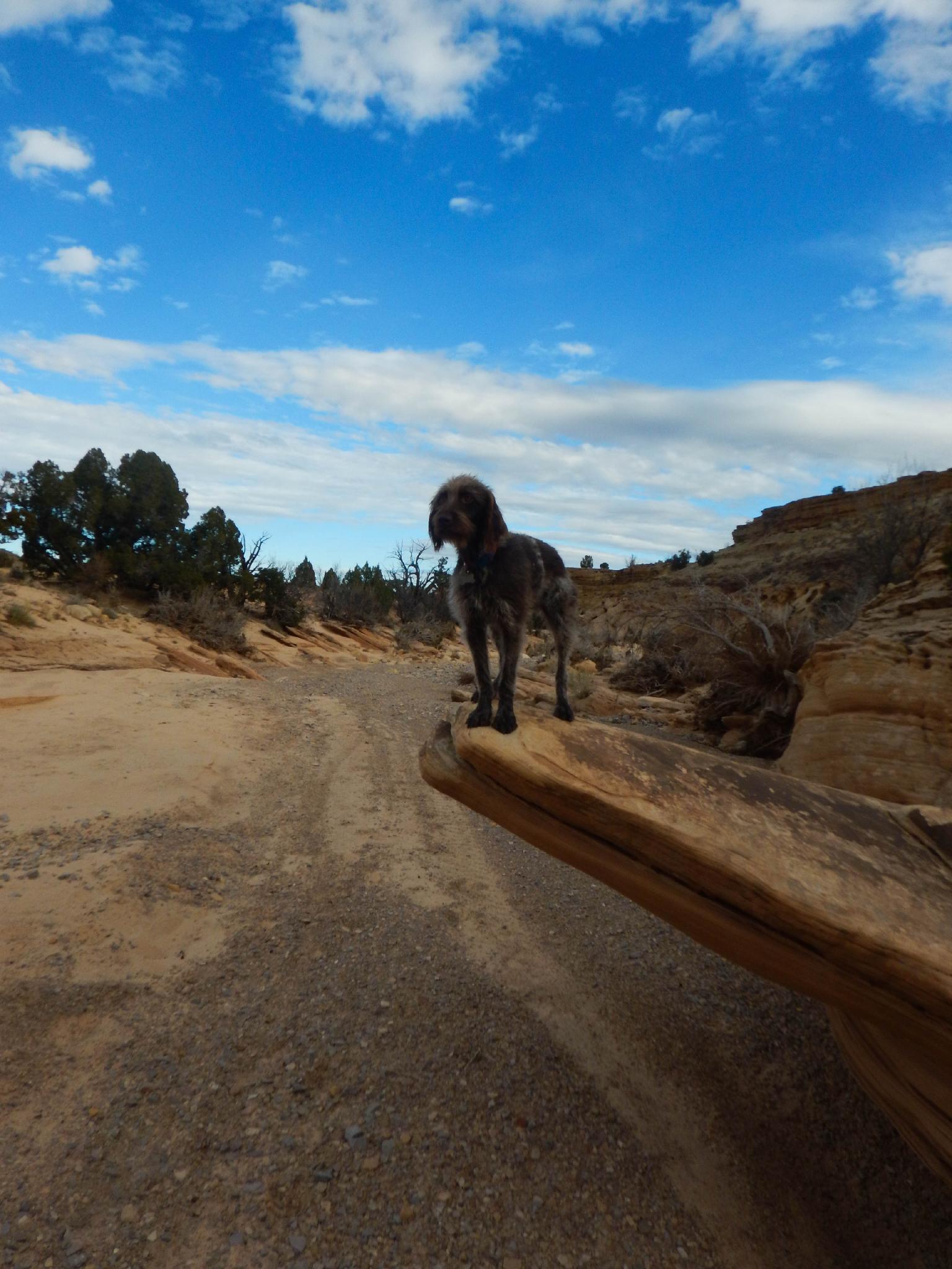
- Pets: Keep pets on a leash and clean up after them.
- Artifacts: If you happen to come across sherds (broken pottery) or lithics (flakes of stone tools), leave them where you see them. Once they are moved or removed, a piece of the past is forever lost.
To The Panel (1 mile / 30 minutes)
From the trailhead, simply head west, up Big Hole. The canyon floor becomes very sculpted slick rock before turning to sand. It is 20 - 30 minutes (1 mile) up the wash to the first vertical wall on the left on a bend that has varnish near the bottom. This wall holds the very patina covered and (presumably) old petroglyph panel.
To The Dryfall (1.5-2 miles / 1 hour)
Above the panel, the canyon continues to deepen and meander west. Cut corners as you see fit on livestock trails.. It is about 1.5 miles to the end of the canyon cutting corners or closer to 2 miles along the watercourse.
As the hike nears the canyon head, the wall changes texture and color, and the canyon floor becomes boulder lined. Just before the head of the canyon, a small dryfall can be surmounted directly or climbed around on the left. The bottom of this dryfall has a rather impressive semi-keeper pothole. The final dryfall is likely to have a large pool at the bottom and makes a great lunch spot. Return the same way.
Maps

12S 545385E 4333612N
39°09'02"N 110°28'29"W
12S 544571E 4333038N
39°08'43"N 110°29'03"W
12S 542886E 4332878N
39°08'39"N 110°30'13"W