 Hiking
Bloody Hands Gap
Hiking
Bloody Hands Gap
Notom
Overview
This is a hike that really drew us in. Although expecting a short jaunt of a couple of hours, we ended up spending the better part of a day and hiking 10 miles. The hike offers a few good options for turn-around points. The first destination, Bloody Hands Gap, is a well-preserved set of red hand prints. I mistakenly though these were Native American Rock Art. Thanks to ZachAlan2012, who commented they are actually sheep herder prints made with linseed oil and dye. They are still likely very old, as the name shows up on all the USGS maps I could find. This makes a great family friendly destination suitable to most. The hiking is easy and relatively flat to the panel.
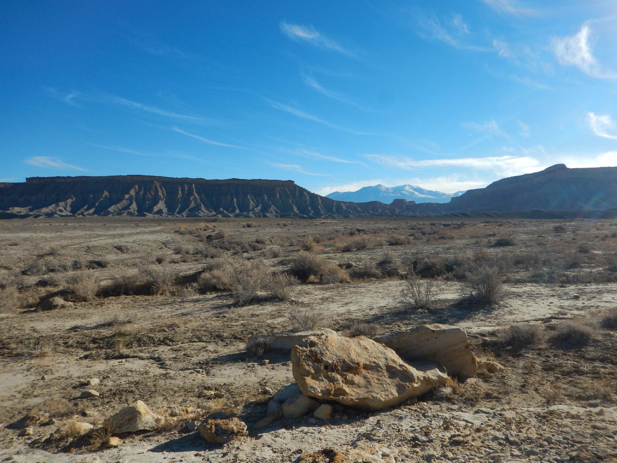
Got more energy? Bloody Hand Gap is on the western side of a barren moon-like landscape that is very different than its neighbor Capitol Reef National Park. I would recommend continuing either to Blue Notch, or all the way to Thompson Mesa on a historic stock trail. The mesa overlooks the higher elevations of the Blue Hills Wilderness Study Area to its east, and the badland are just passed through to the west. The badlands of the WSA were described by one visitor as "ever so much badder than Badlands National Monument" (Hunt, 1980) That part of the WSA is not visible from the mesa, but the area to the west that is crossed to reach the mesa top is identical in stark beauty.
There is much to see along the hike. Be sure to bring plenty of water and snacks in case you decide to wander farther than you expect. If we had more provisions on our trip, we may still be out there wandering!
Getting There
Travel east out of Capitol Reef National Park on highway 24. Just past the park, 0.25 miles, is the well signed Notom road. (9 miles east of the Capitol Reef Visitor Center)
Route Description
To Bloody Hand Gap (2 miles / 1 hour)
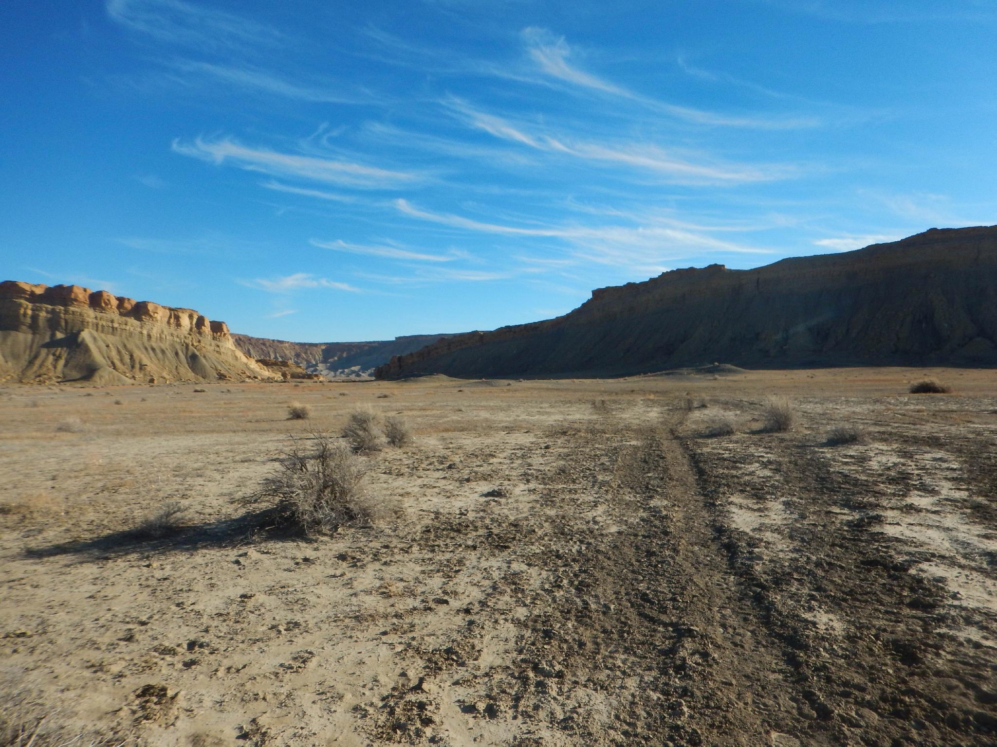
From the trailhead, cross the sandy wash that may have a small amount of water. This is lower Burro Wash. A social/ATV/horse trail picks up on the other side. Discrepancies in route finding won't matter much here, simply head down the wide canyon. As the canyon narrows a little and makes a left-hand turn (heading north), cross the wider wash. This is Sandy Wash and may have a small flowing stream in it, but rock hopping should keep your feet dry. After this crossing, an old road becomes more evident.
Follow the old road through the gorge, always on the south side of the wash and mostly on the bench above the wash. Once through the gorge, the road crosses an open badlands area, passing through a very deep dirt wash at one point. After crossing the open area, the road enters Bloody Hand Gap. The hand prints are on the east side of the gap, right next to the road.
To Blue Notch (1.6 miles / 1 hour)
If you are still motivated, the old road is now designed the Little Thompson Stock Trail. Just past the gap, the main stock trail heads due east with a side trail going to an old fenced pasture to the south. You can see the stock trail in the far distance as it climbs to Blue Notch from here. Keep east on the main stock trail, as it crosses the badlands, then climbs steeply to Blue Notch and a fence/gate right on the ridgeline.
The notch offers great views to the west of Capitol Reef National Park and to the east of the Blue Hills Wilderness Study Area and the Henry Mountains.
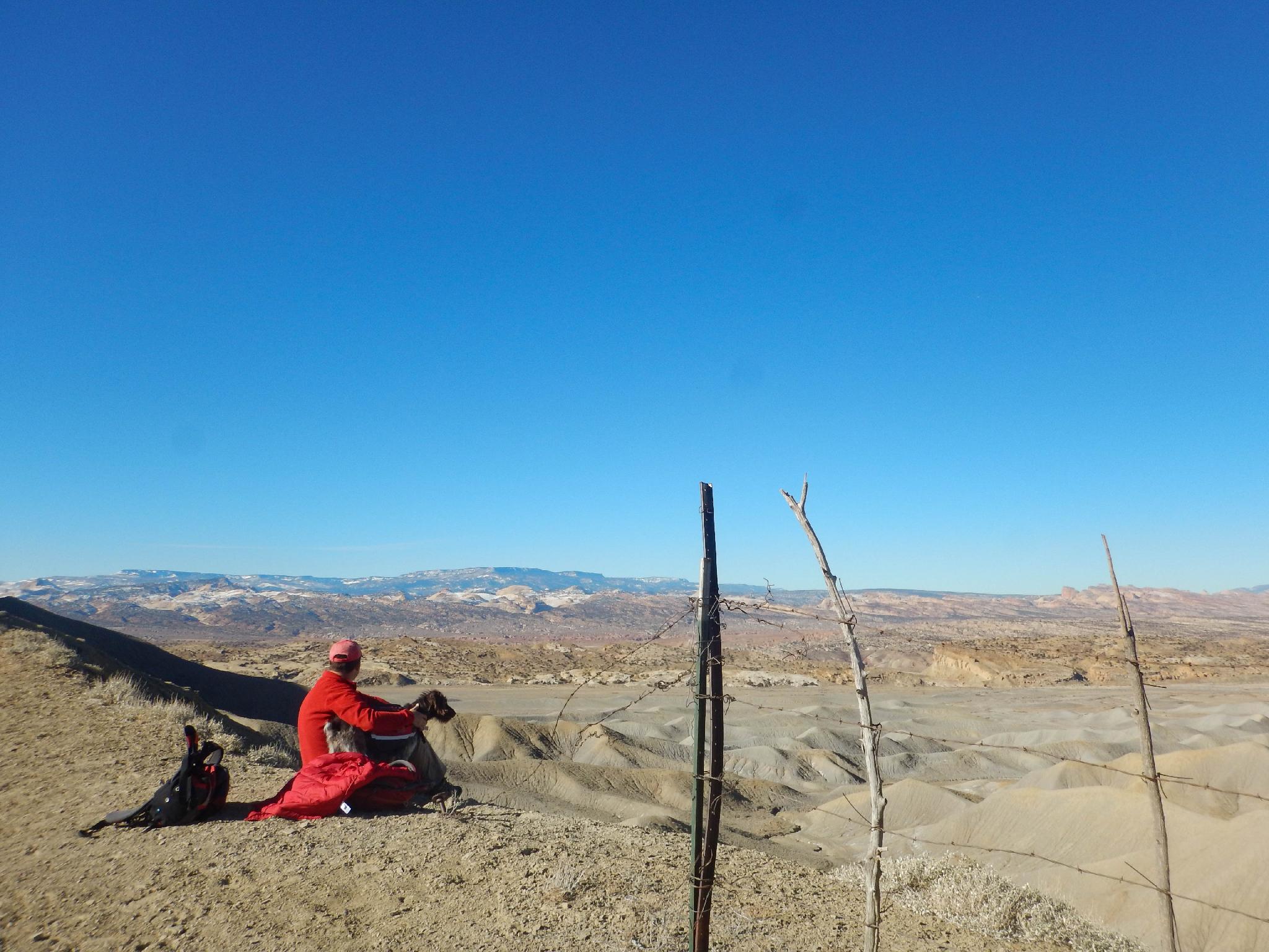
To Thompson Mesa (1+ mile)
If your STILL motivated, pass through the gate, closing it behind you, and follow the stock trail downhill a few minutes. At a minor junction, go left on the main stock trail. The main stock trail meanders up onto the mesa. Once up on the mesa, it is a short wander west to the rim and outstanding views of Capitol Reef, or east to the rim of the mesa and excellent views of the Wilderness Study Area and the Henry Mountains. Either way you wander, keep track of how to find your way back to the cow trail.
Return the same way.
Photos
Maps

12S 494638E 4224107N
38°09'53"N 111°03'40"W
12S 497127E 4224493N
38°10'06"N 111°01'58"W
12S 498460E 4224453N
38°10'05"N 111°01'03"W
12S 499294E 4223879N
38°09'46"N 111°00'29"W