 Hiking
Lower Ashdown Gorge
Hiking
Lower Ashdown Gorge
Cedar City
Overview
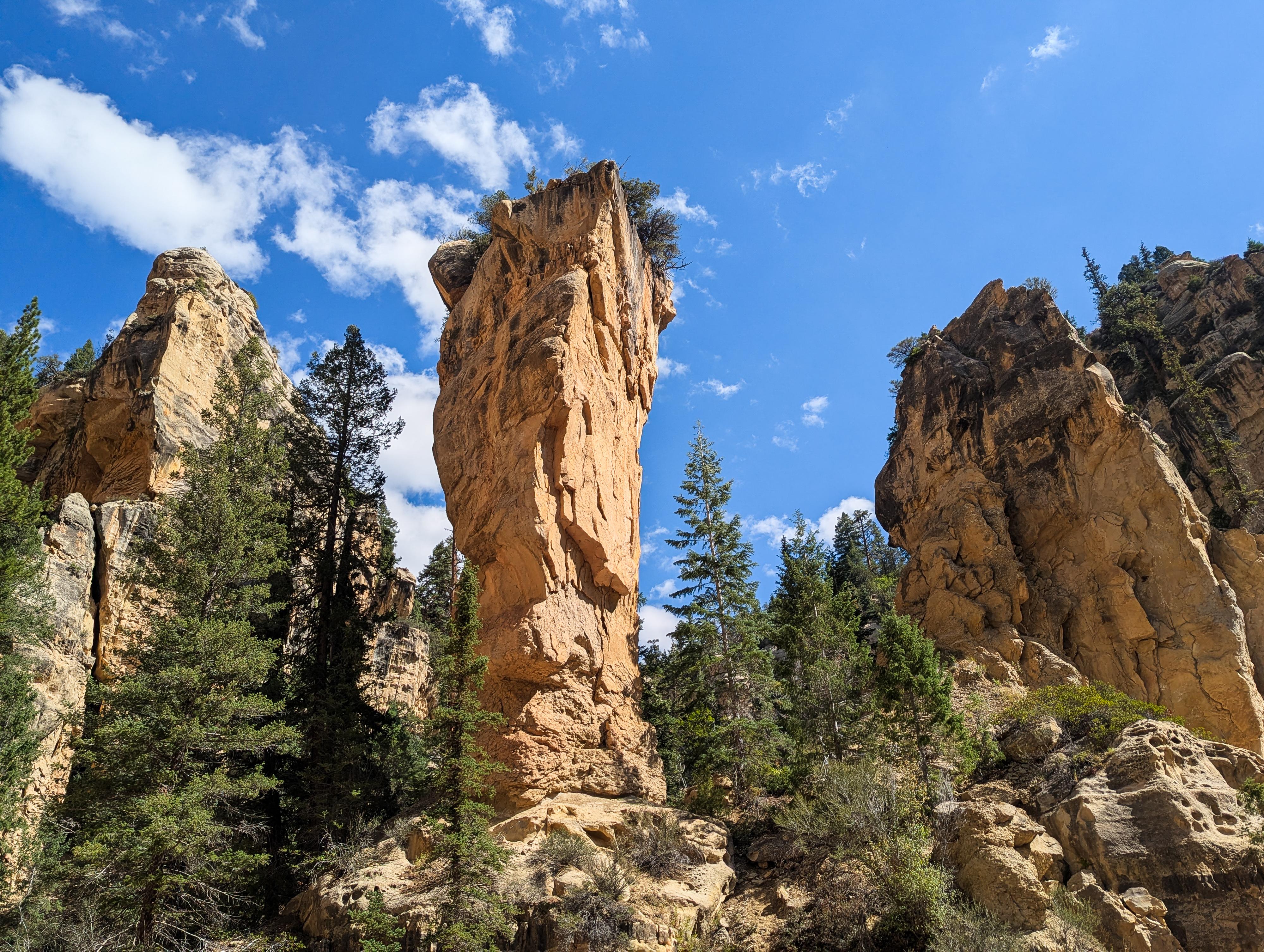
Tucked away just outside Cedar City, Lower Ashdown Gorge is a spectacular hike. The hike begins where Coal Creek cuts into the mouth of the gorge, and almost immediately you’re surrounded by sheer canyon walls rising hundreds of feet overhead.
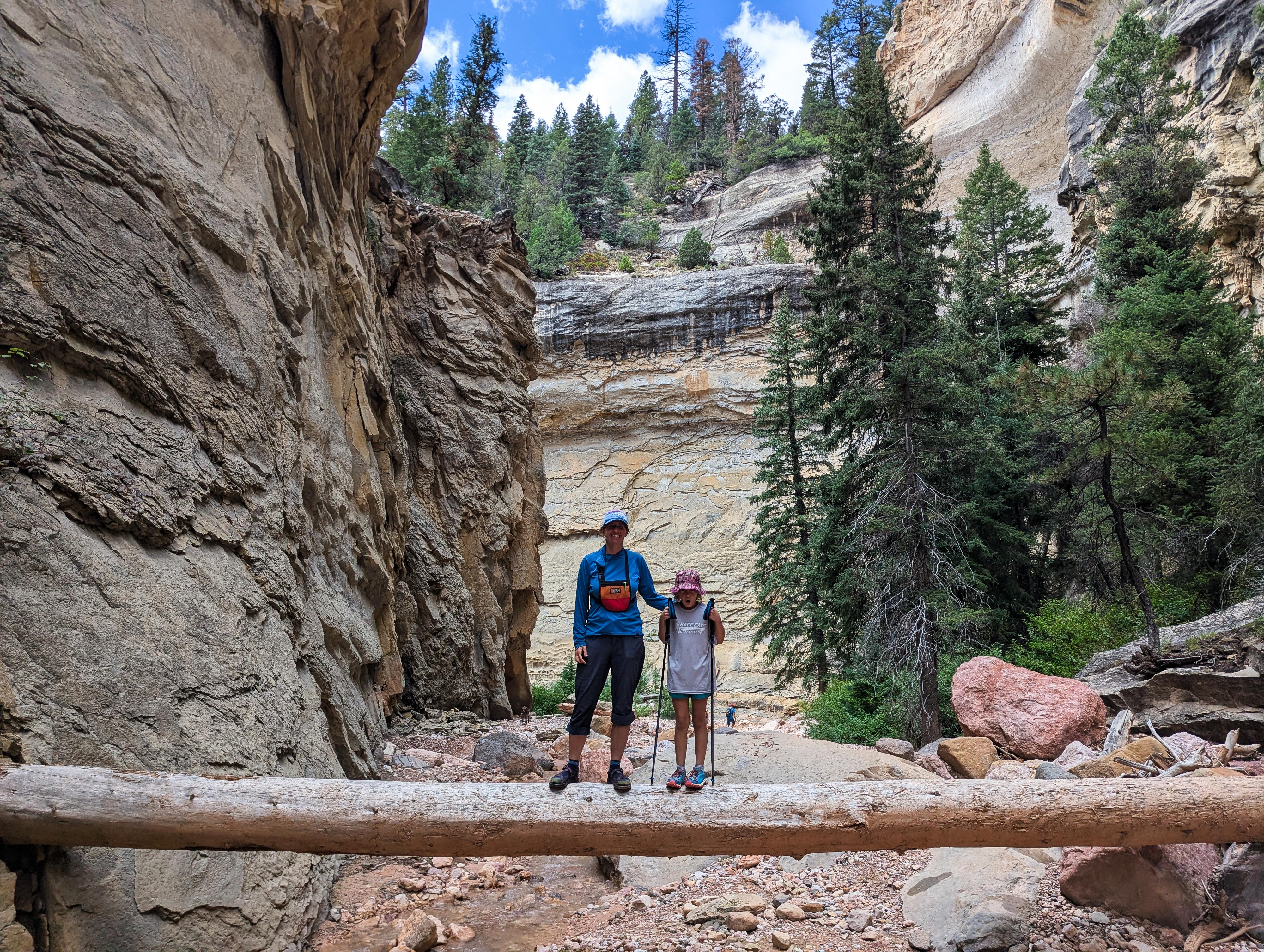
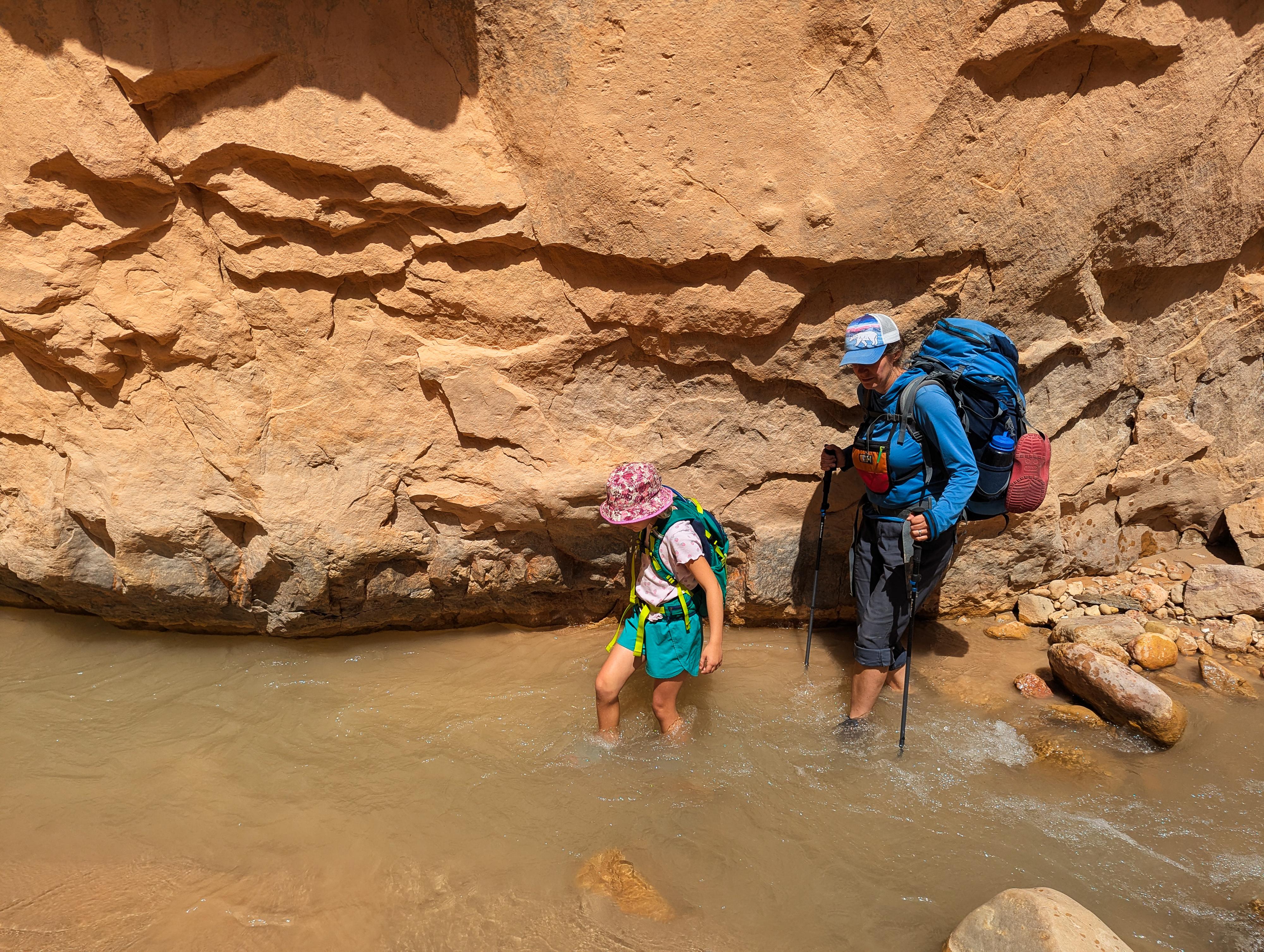
This is a true adventure hike - there’s no marked trail, and your route often follows directly in the creek bed. Expect plenty of rock-hopping, wading, and scrambling as you wind your way upstream. For those who continue far enough, the hike eventually reaches Lake Creek Falls and Rattlesnake Creek Falls, both gorgeous small waterfalls.
Ashdown Gorge is best tackled in late spring through early fall, when water levels are lower. Conditions change quickly; be sure to check the weather forecast before starting the hike. Flash flood danger is a high risk; don't enter if rain is in the forecast. If visiting during cooler temperatures, be sure to have extra layers. You will be wading a fair bit of the time.
Getting There
From Cedar City, head east on UT-14 toward Cedar Breaks National Monument. At milepost 7.6, about 7.6 miles from Cedar City, there is a large pullout on the north side of the road. This is the Lower Ashdown Gorge trailhead.
Route Description
To Rattlesnake Creek Junction (2.75 miles)
From the trailhead, find one of a couple of trails that leave the parking area and descend steeply to the creek below. You want to reach the creek above the concrete chutes.
Once down to the canyon bottom, simply walk upstream. Within 5-10 minutes you are likely to pass the ruins of a couple of cars that met their demise here, then the creek bends and the walls deepen as the hike enters the gorge proper. Depending on floods and recent traffic, you will likely be crisscrossing the creek frequently trying to find the easiest path. There are no major obstacles, but lots of little decisions to make.
Keep an eye on the map. About 1.5 miles from the trailhead, begin looking on the left side of the canyon. High on the rim is Flanigan Arch. This can be difficult to spot, and it requires a keen eye, but it is a fairly impressive arch.
It is about 2.75 miles from the trailhead to the junction with Rattlesnake Creek. The large tower at this junction is known as Tom's Thumb. At this point, on our visit at least, it seemed most day hikers were hiking up Rattlesnake Creek (left of Tom's Thumb) and returning, but continuing up Ashdown Gorge (right, the major drainage) is also an option.
Rattlesnake Creek Falls and Lake Creek Falls (1.7 miles round-trip)
Rattlesnake Creek, from the bottom, is a bit easier walking than Ashdown Gorge and equally beautiful to my eye. Hike up it about 0.8 mile to a junction. Left is Lake Creek, and a small waterfall is just a few minutes up that fork of the canyon. Right is Rattlesnake Creek, and the falls is 5-10 minutes up the right fork to visit. It is taller and generally has more flow than Lake Creek. Return to Ashdown Gorge the same way.
Continuing up Ashdown Gorge (2.2 miles round-trip)
Continuing up Ashdown Gorge is beautiful. The gorge continues for about 1.1 miles, getting deeper with bigger alcoves and more dramatic scenery. At about 1.1 miles, the gorge opens broadly. This is where a trail leaves on the left to go up to Rattlesnake Creek trailhead near Cedar Breaks National Monument, and the Potato Hollow trail comes in on the right. Return the same way.
Photos
Videos
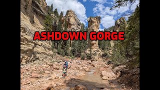
A full hike down Ashdown Gorge from Rattlesnake Creek trailhead.
Maps

12S 328481E 4167043N
37°38'04"N 112°56'38"W
12S 330044E 4166804N
37°37'58"N 112°55'34"W
12S 330891E 4167217N
37°38'12"N 112°54'60"W
12S 331474E 4167707N
37°38'28"N 112°54'36"W
12S 331623E 4167717N
37°38'28"N 112°54'30"W
12S 331501E 4167779N
37°38'30"N 112°54'35"W
12S 331963E 4167221N
37°38'12"N 112°54'16"W