 Hiking
Ensign Peak
Hiking
Ensign Peak
Salt Lake City
Overview
On July 24th, 1847, Brigham Young and a group of Mormons entered the Salt Lake Valley. Brigham Young said he had a vision before beginning the trek of where to place the flag when they reached their destination. Upon entering the valley, and first seeing Engsin Peak, Brigham Young declared the valley the place of his vision and where they would settle. Two days later Ensign peak was climbed and the valley surveyed from its top.
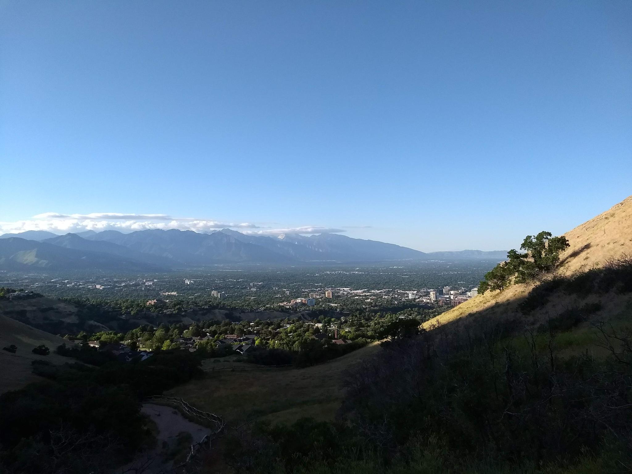
Steeped in history, today Ensign Peak is a short hike to some of the most amazing views of the city. Ensign Peak is a very approachable hike by most and a great way to take in the sites of the valley. Highly recommended! En route to the summit, there are excellent views both of the Salt Lake Valley and Wasatch Mountains, but also of the Great Salt Lake and Antelope Island to the west.
Getting There
The trailhead starts in the neighborhood above the State Capitol. From downtown Salt Lake City, go north on State Street. When State Street ends at the State Capitol, go right on Capitol Blvd and follow it as it goes past the capitol. When it curves right, go left on Edgecombe Drive. Follow Edgecombe Drive, which becomes Ensign Vista Dr in a block. The Ensign Peak trailhead is on the left, well signed across from the park.
Route Description
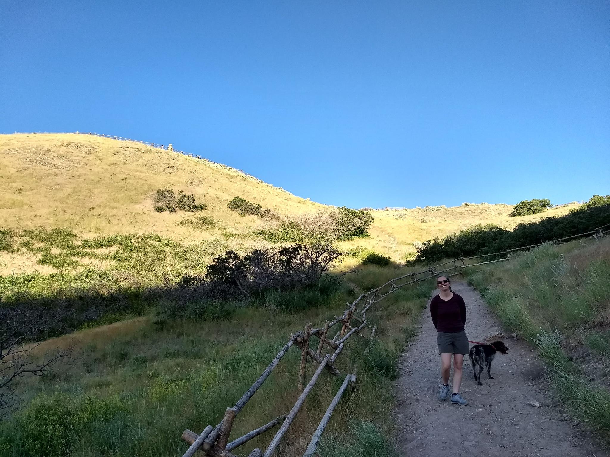
From the trailhead, follow the well-signed concrete path. It soon turns to dirt and splits. Left goes to a great view of the city. Stay right.
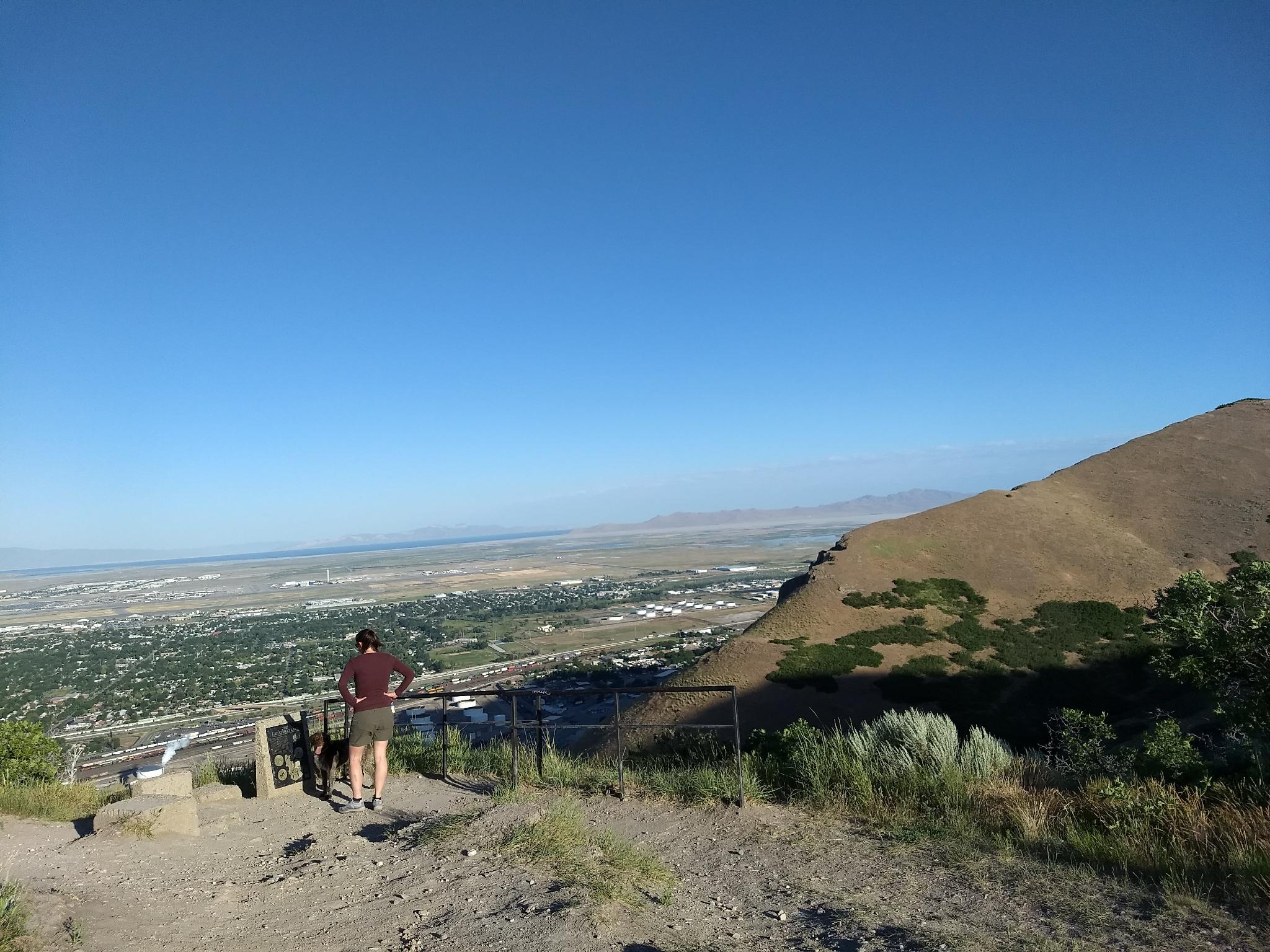
The trail steepens and reaches a small pass overlooking the Great Salt Lake to the west. (Ensign The View)
From the pass, Ensign Peak is a short distance up the trail to the south. The large monument on top offers a great spot to take in the views and read the many informational signs around its base.
Photos
Maps

12T 425064E 4516022N
40°47'30"N 111°53'18"W
12T 424992E 4516061N
40°47'32"N 111°53'21"W
12T 424855E 4516446N
40°47'44"N 111°53'27"W
12T 424859E 4516315N
40°47'40"N 111°53'26"W