 Hiking
Ernie Canyon
Hiking
Ernie Canyon
Eastern Reef
Overview
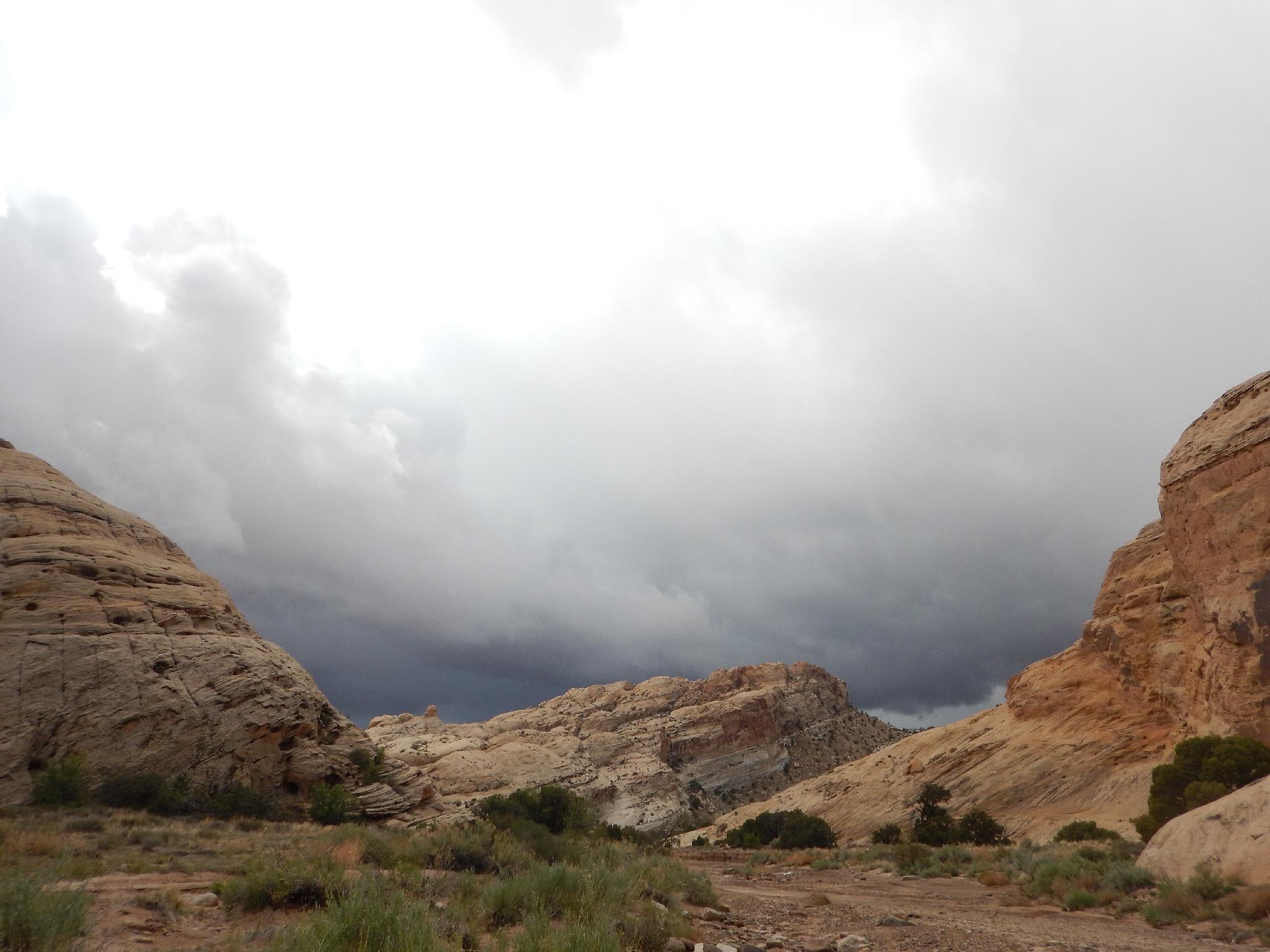
Ernie Canyon offers a very casual hike to old mining ruins and a view of an arch high on the wall. This is a good family friendly hike in cooler times of the year, and several spots along the approach road offer good primitive camping.
Good scenery, easy access, and good camping make this a highly recommended outing for most! Adding Hurst Bridge makes for a fuller day or even casual weekend all in the same area.
Getting There
At mile marker 141.6 on highway 24, take the side road on the west side of the highway through the gate. This is about 26 miles north of Hanksville, or 18 miles south of I-70 if coming from Green River.
Route Description
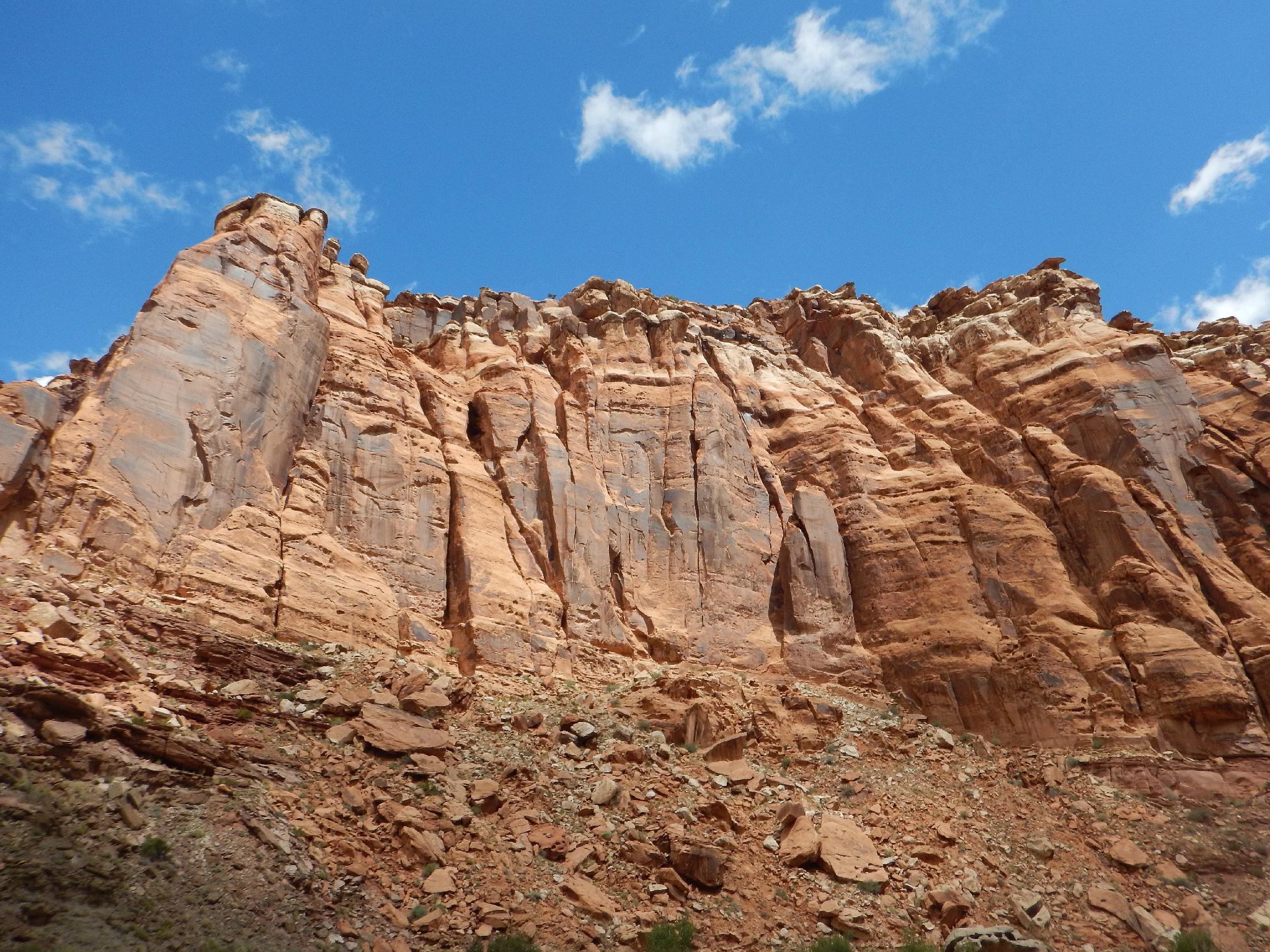
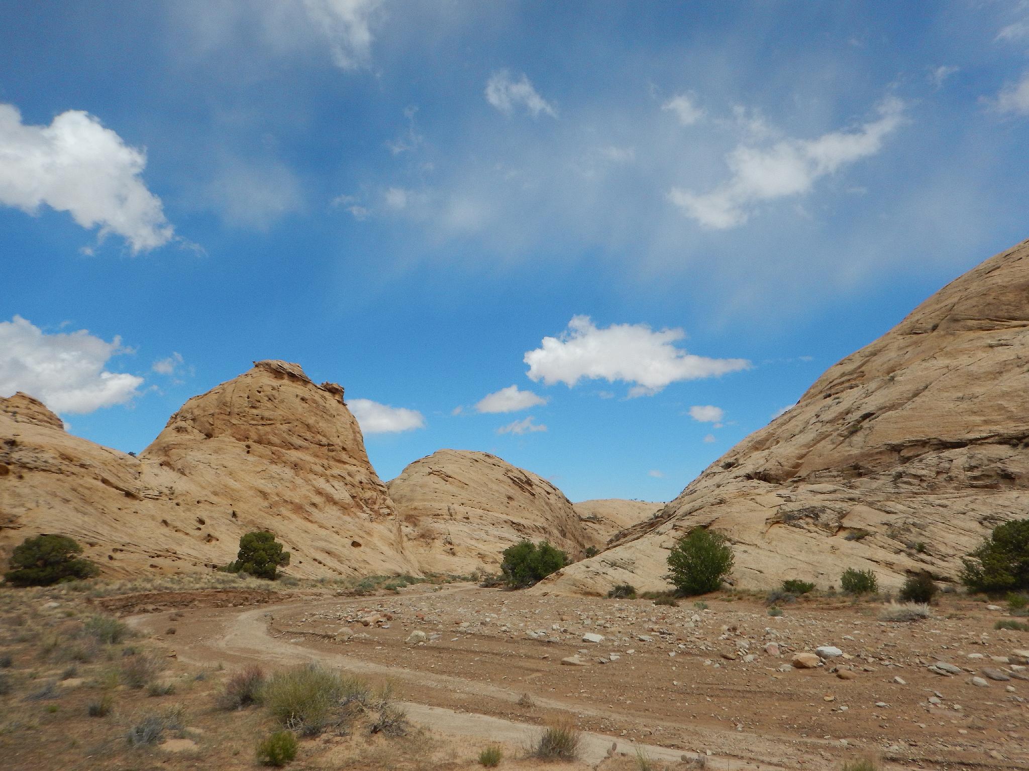
From the trailhead, simply follow the wash into it. It crosses a log fence and passes through shallow Navajo walled narrows. An open area offers big views of the reef before the canyon begins cutting into the steeper walled Wingate layer.
It is about 3 miles (1-1.5 hours) from the log fence to the mining ruins on the left. Look high on the right here to see the arch. A bend or two past the ruins / arch the canyon opens broadly behind the reef. The best scenery is over, returning from here is recommended.
Maps

12S 540617E 4286829N
38°43'45"N 110°31'58"W
12S 540529E 4286890N
38°43'47"N 110°32'01"W
12S 538092E 4288144N
38°44'28"N 110°33'42"W
12S 537943E 4288061N
38°44'26"N 110°33'48"W