 Hiking
Grotto Canyon
Hiking
Grotto Canyon
Northern Swell
Overview
A canyon, an old cabin ruin, and an arch, this outing has it all! This is a highly recommended hike, and suitable for most everyone. Pay extra attention to the description, as route finding is moderately challenging.
Getting There
To reach the trailhead, take the Green River cutoff from highway 6 between Price and I-70. This good dirt road travels west off of highway 6 at mile marker 283.2 (16.4 miles north of I-70 on highway 6).
Route Description
From the trailhead, notice the wood post on the hill to the west. Go to it, and down into the wash on the other side. Follow this wash, with an intermittent ATV trail in it west. At the first junction, with a patch of purple slickrock on the ground, go left. Within 5 minutes, the canyon character changes as it turns to more entrenched sandstone. Shortly you will reach a pothole. Either attack it directly, or backtrack and climb on the right (looking down canyon) and re-enter the canyon just above the pothole.
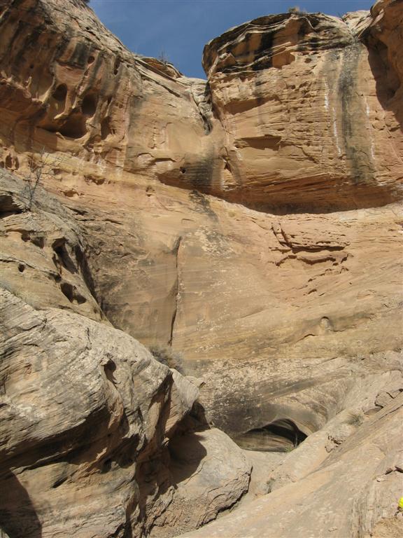
3 minutes above the pothole, the canyon divides again. Go right. The canyon deepens dramatically and may have a little wading. Soon it ends at a dryfall and grotto. Retrace your steps back down to the first place you can climb out on the right (looking down canyon). Once out, follow the rim, and re-enter the canyon right above the dryfall. From the top of the dryfall go up the canyon to a two-tiered dryfall. (5 minutes above the fall). Climb out the steep drainage on the right just down canyon from the falls. Follow this drainage up as it becomes more and more shallow until it essentially ends. (10-15 minutes).
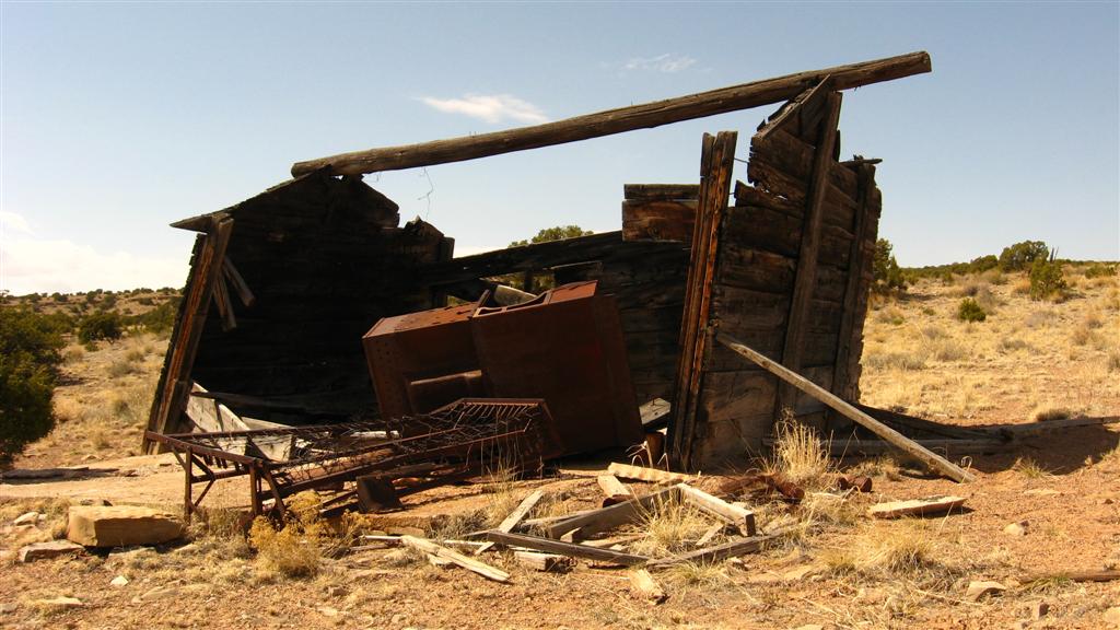
Head northeast, crossing a shallow drainage in about 5 minutes. Keep heading northeast, reaching a second drainage in about 5 minutes. You should notice the old cabin ruin here, as well as an emerging ATV trail that leads to it. Enjoy the cabin, but please leave all artifacts as is for others to enjoy.
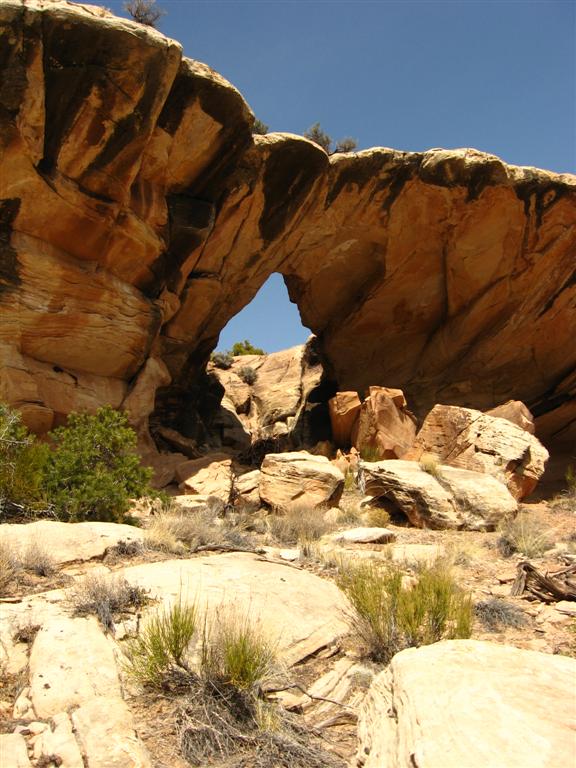
From the cabin, continue northeast crossing another shallow drainage and rounding a corner. You should see a cowboy cairn on a knoll to the north. Head to it. From the cairn, you can look north into a canyon as it becomes shallow. Notice the small side drainage coming in across from the cairn. The arch is about 5 minutes up this side canyon.
After visiting the arch, retrace your steps back to the cabin. Follow the emerging ATV trail as it heads east back down to the trailhead.
Photos
Maps

12S 547133E 4329305N
39°06'42"N 110°27'17"W
12S 545673E 4328925N
39°06'30"N 110°28'18"W
12S 544868E 4329262N
39°06'41"N 110°28'52"W
12S 544397E 4329861N
39°07'00"N 110°29'11"W