
 Prickly Pear Flat
Northern Swell
Overview
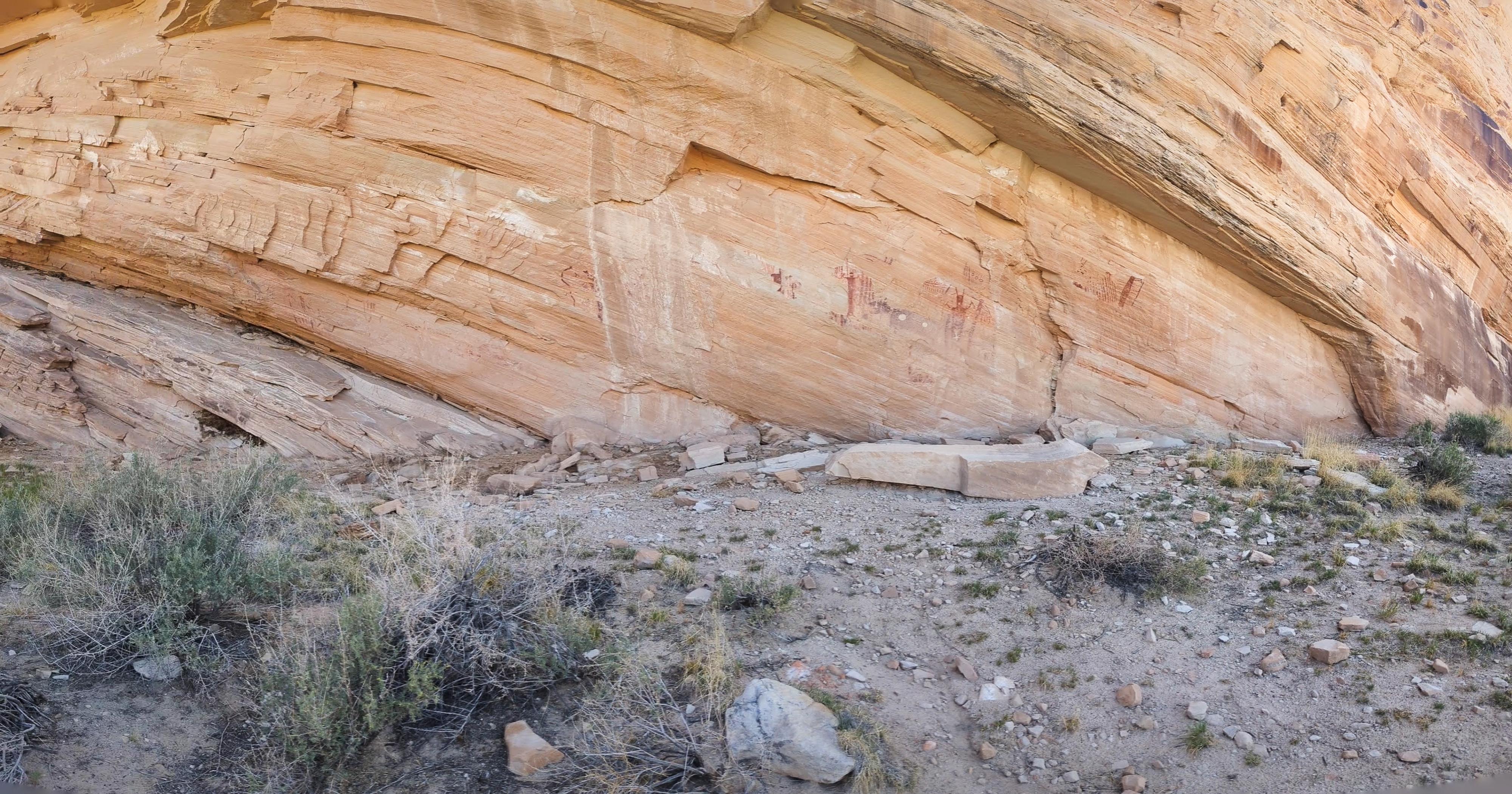
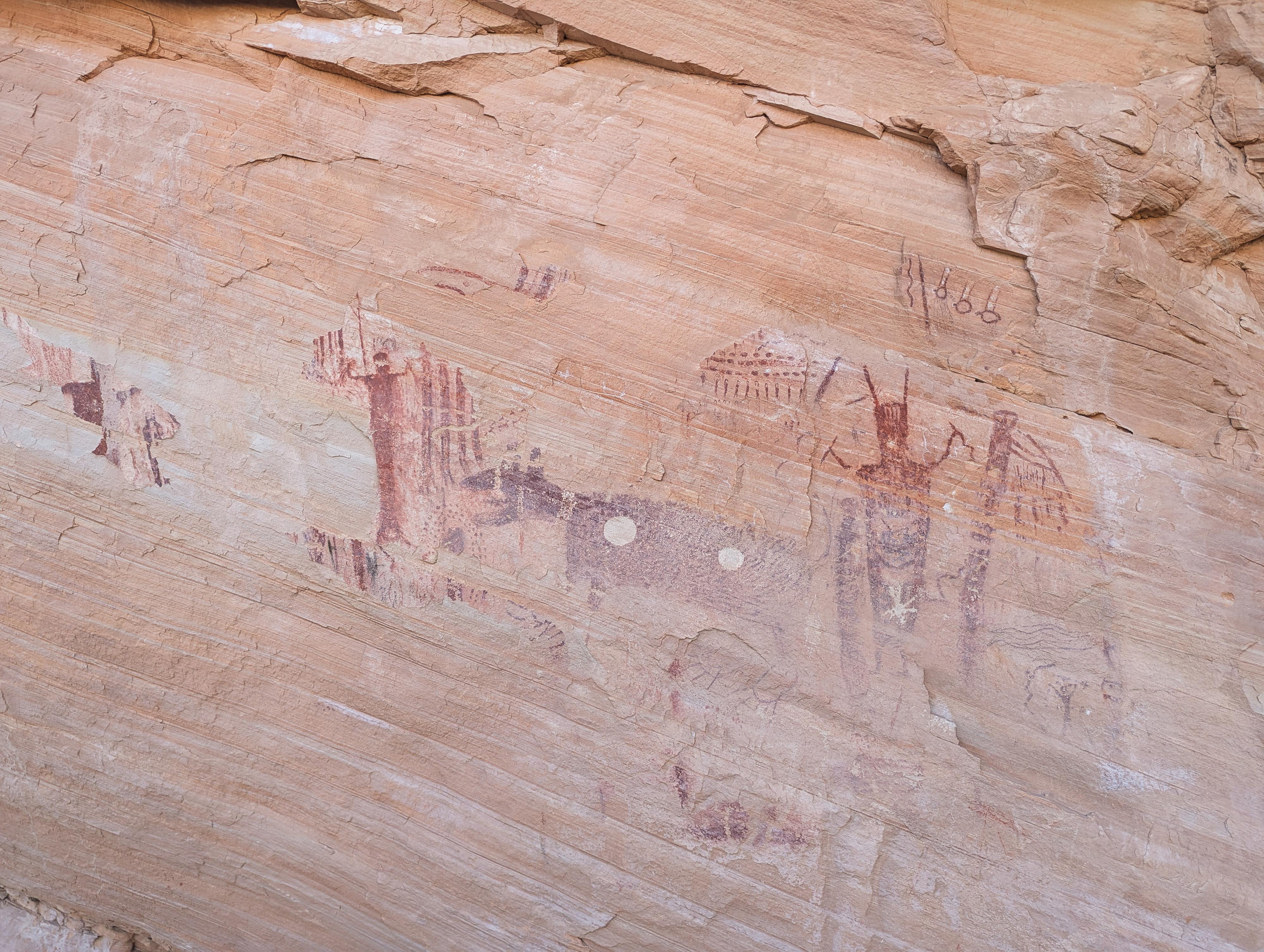
Prickle Pear Flat, in the northern San Rafael Swell above Buckhorn Wash, has been on my list to visit for years. The flat is most known for a large pictograph panel; I would argue one of the best in the region. I had put off visiting mostly because I never seemed to be in the area with enough time to check it out, but also because I had heard the road was quite rough.
It turns out the road is rough and requires true high clearance four-wheel drive, but is not terrible. I ended up walking from the first rough spot out of an abundance of caution and found the walk very lovely. The panel is spectacular and well worth your effort via foot or four-wheel drive.
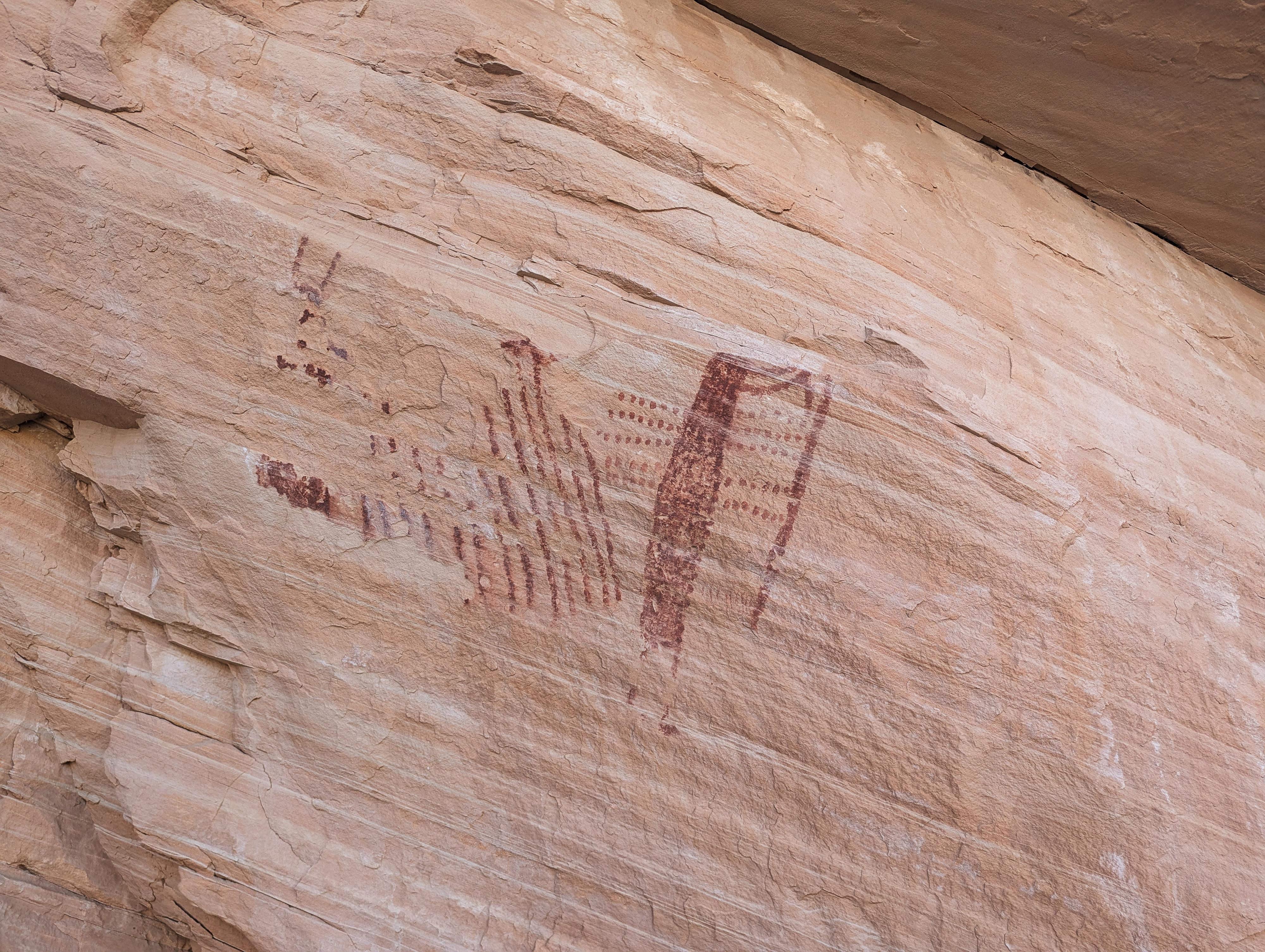
If hiking, this can be done as a lollipop loop hike that returns up a side canyon. The side canyon has a petroglyph that, to my eye, looks like someone's modern attempt and not an authentic petroglyph. The side canyon makes for a little shorter hiking return but does require a bit of navigation.
Getting There
The trailhead is near the top of Buckhorn Wash. Access starts from near Castle Dale.
Route Description
Rock art and historic sites are fragile, non-renewable cultural resources that, once damaged, can never be replaced. To ensure they are protected, please:
- Avoid Touching the Petroglyphs: Look and observe, BUT DO NOT TOUCH!
- Stay on the Trails: Stay on the most used trails when visiting sites, and don't create new trails or trample vegetation.
- Photography and Sketching is Allowed: Do not introduce any foreign substance to enhance the carved and pecked images for photographic or drawing purposes. Altering, defacing, or damaging the petroglyphs is against the law -- even if the damage is unintentional.
- Pets: Keep pets on a leash and clean up after them.
- Artifacts: If you happen to come across sherds (broken pottery) or lithics (flakes of stone tools), leave them where you see them. Once they are moved or removed, a piece of the past is forever lost.
From the low clearance trailhead, follow the road west as it initially parallels a barbwire fence. After about 0.6 miles, there is a campsite on the left. This is the medium clearance trailhead. Just a minute or two past this spot, the road crosses a rough and rocky wash. This, on my visit, was the roughest section of road.
Once across the wash, the road is still rough, but not quite as rough. It heads southwest, then around a corner. The road gets easier here as it crosses a large, open flat. If hiking and returning via the canyon, this open area is where the hike rejoins the road.
The road is easier going and a mix of sand and a few rocky spots. It is about 4.8 miles from the low clearance trailhead to the panel itself. There are a few closed spur roads en route, but simply stay on the main dirt road. As you near the panel, there are some excellent views of the steep walled Pine Canyon to the west and the slick rock highlands above Buckhorn Wash.
The road ends at the panel and a wooden fence enclosure.
Hiker's Alternative Return
If hiking and wanting a shorter return path, from the panel, head south along the cliff for about 500 feet to where a slope allows climbing to the top of the cliff. This slope looks improbably from a distance, but when you get to it, there is a use trail that zigzags up to the top surprisingly easily. It appears to be heavily used by animals as well. If you have to use your hands, or it feels like rock climbing, you are probably in the wrong spot!
From the top, there are a few animal and social trails. Head north and a touch east, entering a drainage within just a few minutes. The drainage is the return canyon. Follow it north. About 15-20 minutes from the top of the canyon, you will likely notice the petroglyph on the left (west) side. It is hard to miss and appears a modern attempt at rock art to me.
Continue hiking down the canyon (north) until it opens broadly in the flats. You can continue heading north here until you reach the road, or head more northeast to intersect the road a little more directly on the return path, then follow the road back to the trailhead.
Photos
Maps

12S 535322E 4330054N
39°07'08"N 110°35'29"W
12S 534455E 4329722N
39°06'58"N 110°36'05"W
12S 534339E 4329607N
39°06'54"N 110°36'10"W
12S 533347E 4328319N
39°06'12"N 110°36'52"W
12S 532739E 4327695N
39°05'52"N 110°37'17"W