Wasatch County Highpoint | Uinta Mountains

Hiking Wasatch County Highpoint - Uinta Mountains Hiking Wasatch County Highpoint

Uinta Mountains

Overview

Thu Snow showers likely. Mostly cloudy, with a high near 29. Wind chill values as low as 1. West northwest wind 18 to 22 mph. Chance of precipitation is 60%. New snow accumulation of less than one inch possible.
29° | 18°
Fri A chance of snow showers. Partly sunny, with a high near 33. Chance of precipitation is 30%.
33° | 17°
Sat A chance of snow showers and a slight chance of thunderstorms after noon. Partly sunny, with a high near 39.
39° | 20°
Sun Snow showers before noon, then snow showers and a slight chance of thunderstorms. Cloudy, with a high near 31. New snow accumulation of 2 to 4 inches possible.
31° | 24°
Mon Snow showers likely before noon, then snow showers and a slight chance of thunderstorms. Mostly cloudy, with a high near 33. New snow accumulation of around one inch possible.
33° | 20°
RATING: Easy Hiking.
MAPS: Mirror Lake, UT
SEASON: Spring, Summer, Fall
GEAR: Standard Hiking Gear / Moderate Navigation Skills
WATER: None.
Thu Snow showers likely. Mostly cloudy, with a high near 29. Wind chill values as low as 1. West northwest wind 18 to 22 mph. Chance of precipitation is 60%. New snow accumulation of less than one inch possible.
29° | 18°
Fri A chance of snow showers. Partly sunny, with a high near 33. Chance of precipitation is 30%.
33° | 17°
Sat A chance of snow showers and a slight chance of thunderstorms after noon. Partly sunny, with a high near 39.
39° | 20°
Sun Snow showers before noon, then snow showers and a slight chance of thunderstorms. Cloudy, with a high near 31. New snow accumulation of 2 to 4 inches possible.
31° | 24°
Mon Snow showers likely before noon, then snow showers and a slight chance of thunderstorms. Mostly cloudy, with a high near 33. New snow accumulation of around one inch possible.
33° | 20°
Bald Mountain
Bald Mountain

If it weren't for being a county highpoint, this is not likely a hike most would ever consider. For a short hike, it is surprisingly pretty with great views of Bald Mountain, and the surrounding high Uinta peaks. Technically, this is the highpoint of Wasatch county, though the high point is on the county boarder, and not the highest peak. Mt. Cardwell, an easy addition to this hike is the highest PEAK in Wasatch County and worth visiting. The truly obsessive may argue which counts as the county high point, the highest peak or the highest spot, so its probably best to bag them both while there.

Also, this hike has somewhat tricky navigation. Bring a GPS, solid map and compass skills, or be prepared to wander around a bit!

The Proud Summit Cairn
Stunning views from the Wasatch County Highpoint

Getting There

Note: The Mirror Lake highway that is used to access this hike is paved and accessible to all vehicles, except when it is closed in the winter. The gate is typically open from Memorial Day until late October, but if planning this hike on the shoulder season, call the forest service to see if it is open. ((801) 466-6411)

The trailhead is at milepost 28.8 on highway 150. This is the highway between Kamas, UT and Evanston WY and called the Mirror Lake Highway. From Kamas, it is 28.8 miles. From Evanston, it is about 49.2 miles.

At mile marker 28.8, there is a side dirt road (road #462). Just north of it less than a hundred feet is a wide area on the west (left if coming from the south) side of the road that is the trailhead.

Talus slope above the treeline
Unapologetic GWP enjoying the snow.

Route Description

Summit: 3238 m ( 10624 ft. )
Trailhead: 3113 m ( 10214 ft. )

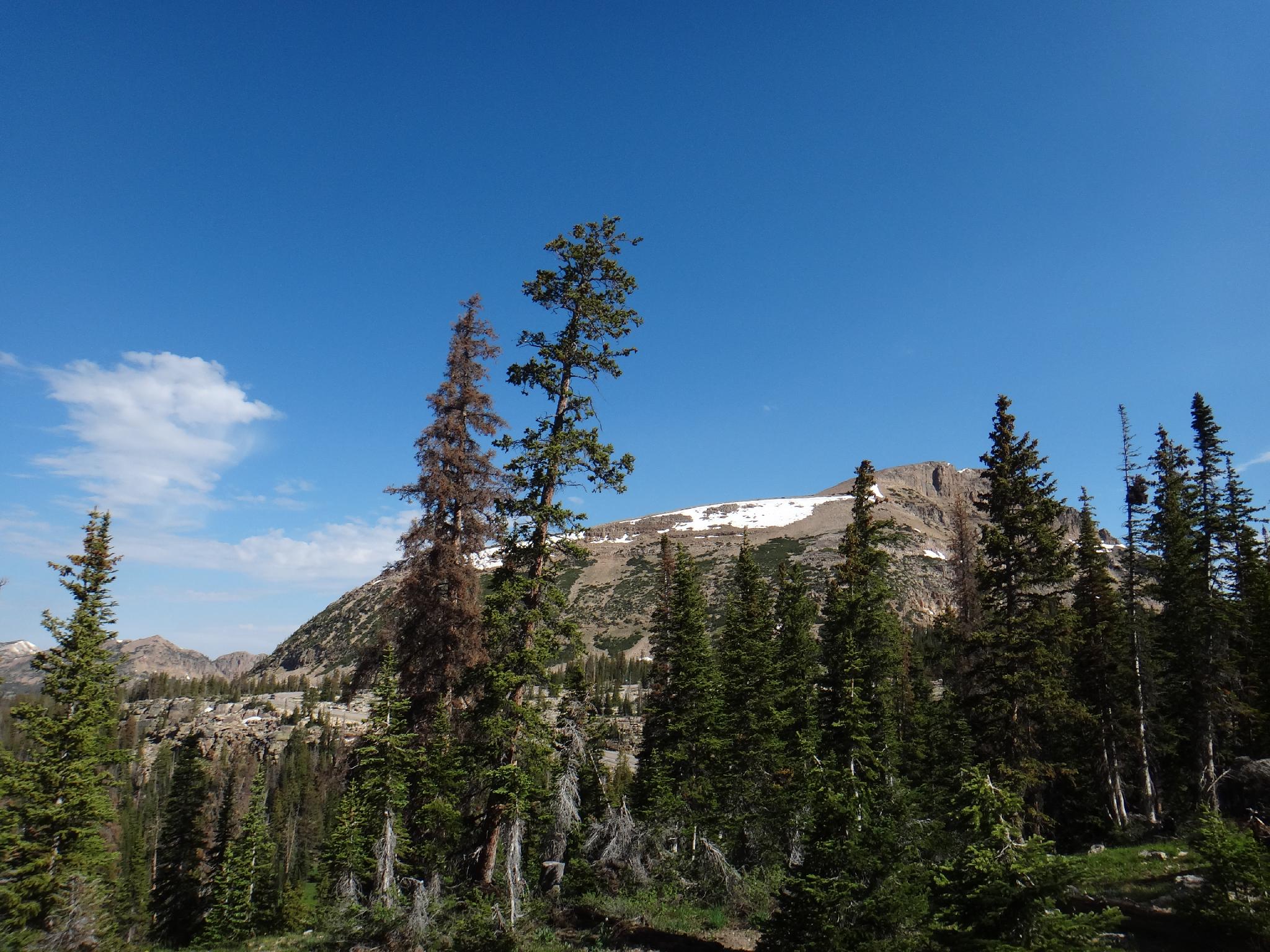
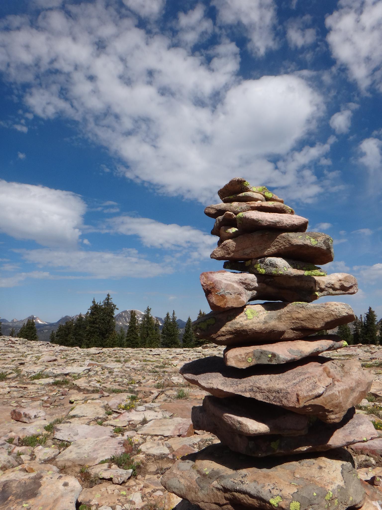
From the trailhead, carefully cross the road. There is no trail, but head south and a little east up through the trees. You may pass an old overgrown road cut along the way. Keep going until you pass treeline onto the talus slope that forms the ridge up Murdock Peak. Continue until on the ridge line. The highpoint is marked with about a 6 foot tall cairn and generally easy to spot. It has trees to the east of it, but is on the edge of the talus field.

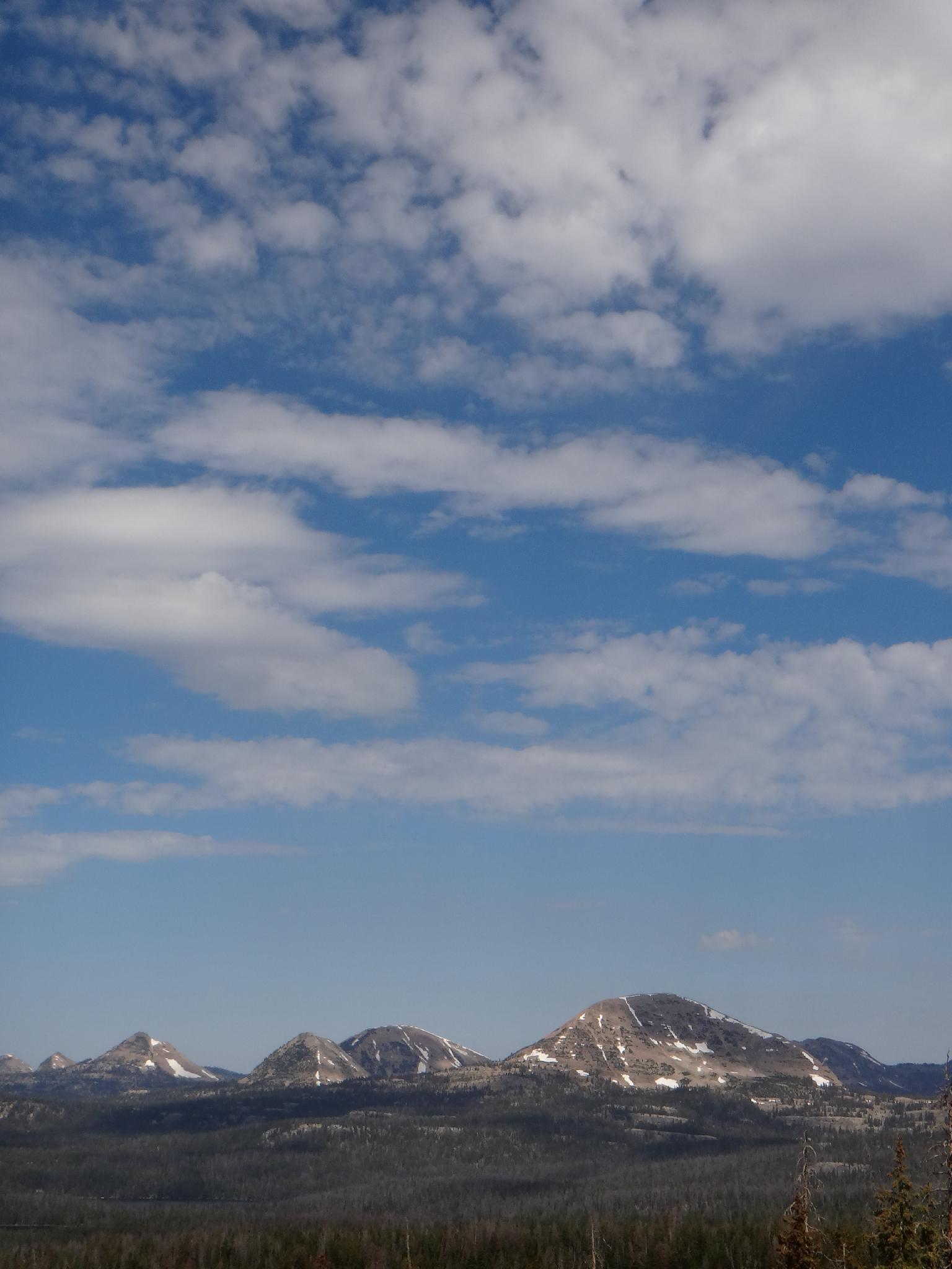
Bald Mountain is to the north west, with Murdock Peak being the peak directly to the north (and the ridge-line the highpoint is on). Due west are Mount Watson and Notch Peak, along with many stunning small lakes.

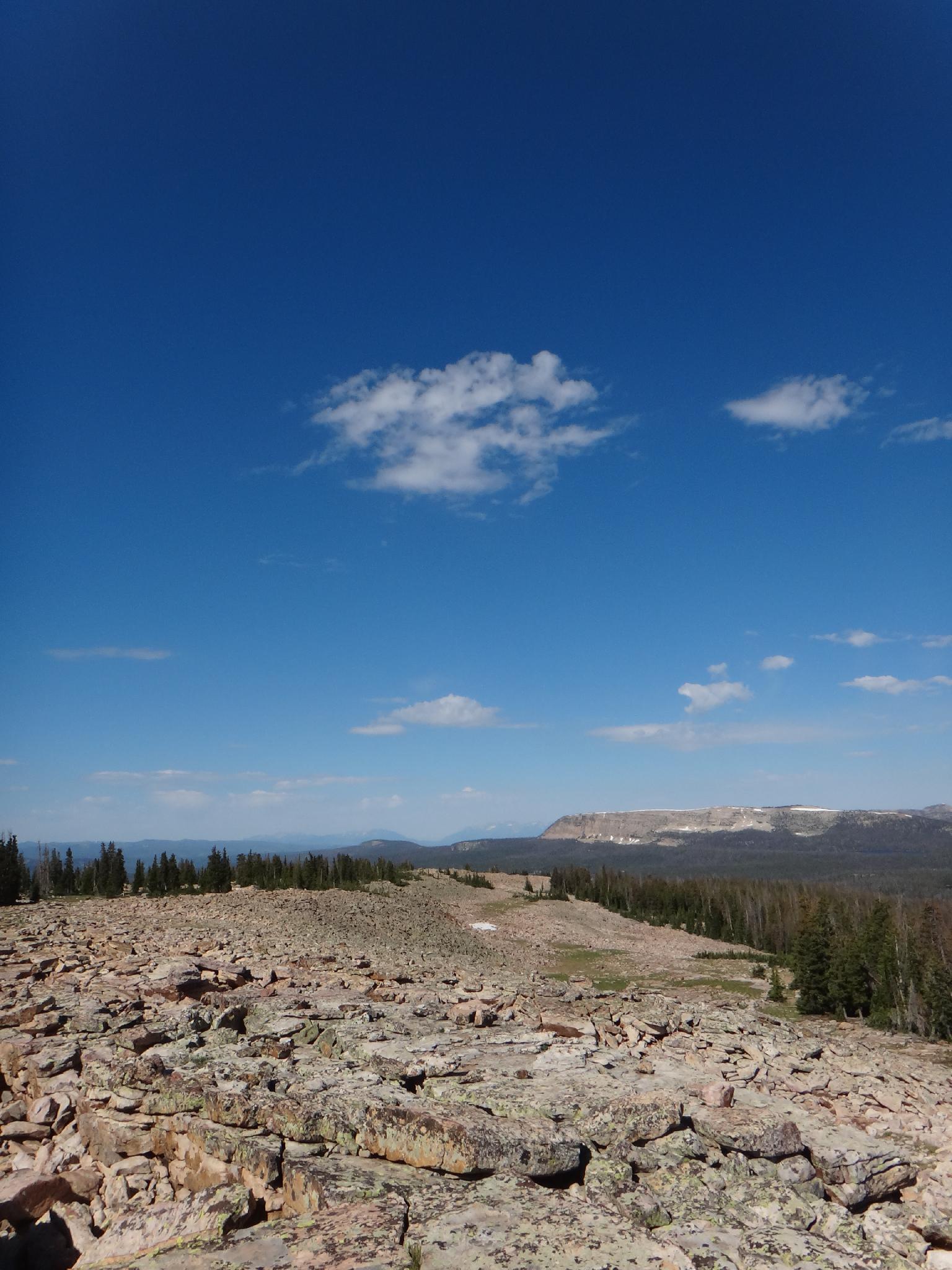
From the highpoint, Mt. Cardwell is visible to the south and marks the highest peak in Wasatch County. It is an easy ridge walk over to visit it. (Adding about an hour to the hike.) Return the same way.


Photos

Maps

Route / 0.75 miles / Elevation Range 10,605 - 10,845 ft.
Printable Maps:

Trailhead
12T 508162E 4503696N 40°41'03"N 110°54'12"W
Highpoint
12T 508286E 4503117N 40°40'44"N 110°54'07"W

Comments