 Hiking
Honeycomb Fork
Hiking
Honeycomb Fork
Big Cottonwood Canyon
Overview
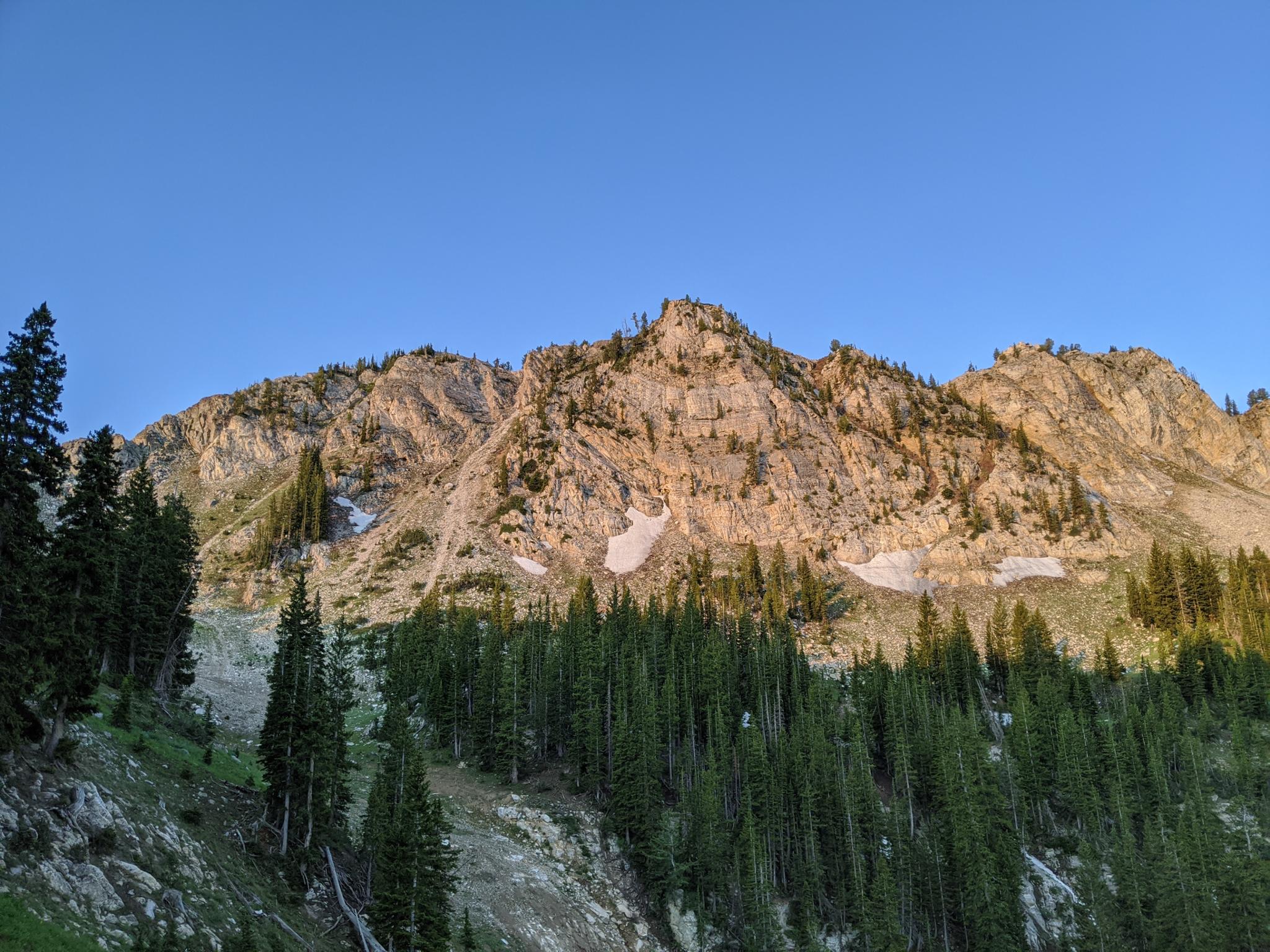
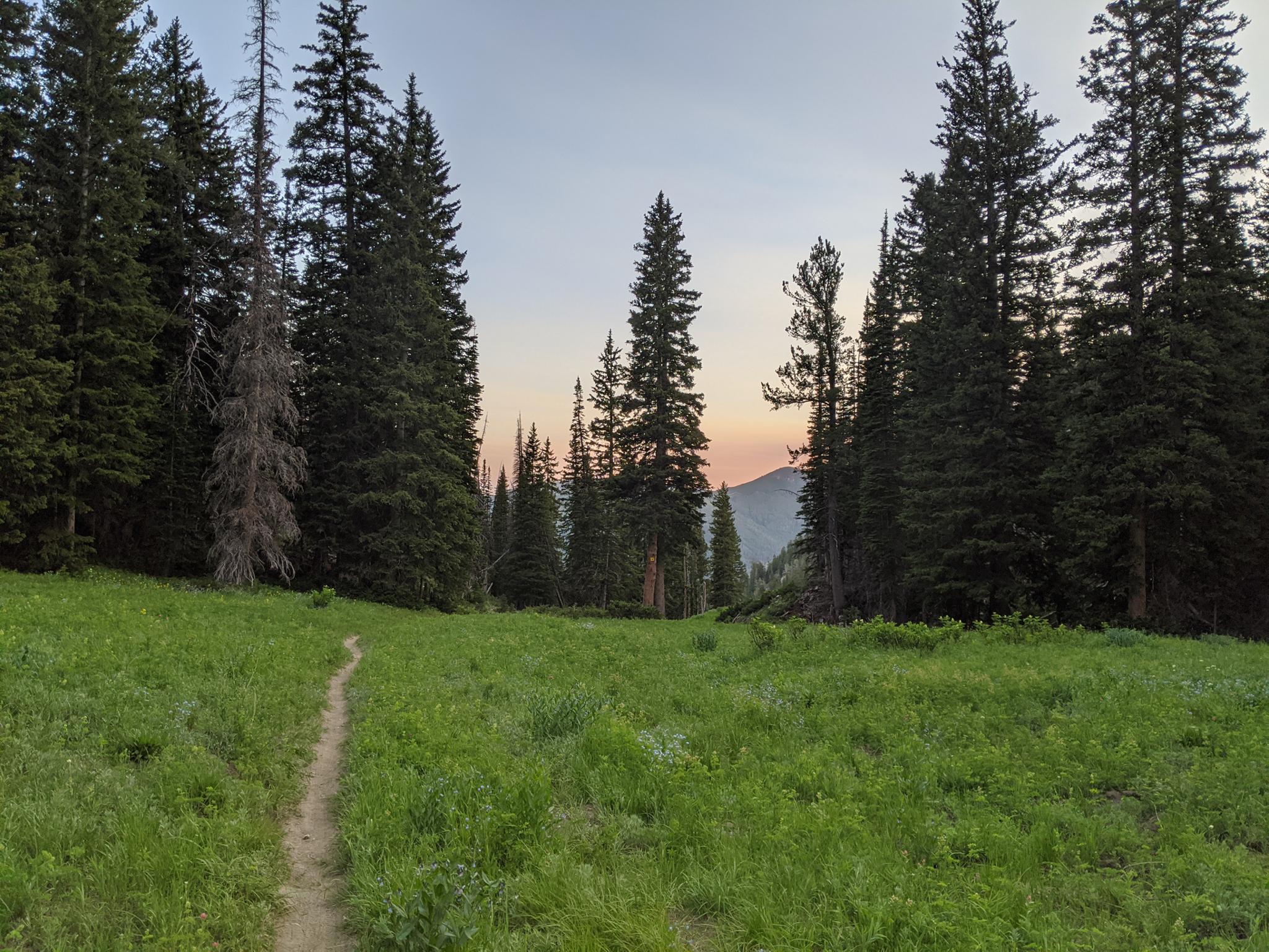
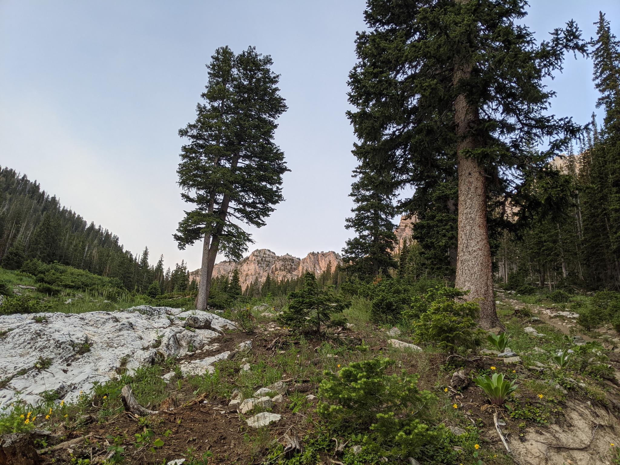
Honeycomb Fork is one of the more scenic side canyons of Big Cottonwood Canyon. Though the lower section is heavily forested, once some elevation is gained, there are several picturesque alpine meadows dotted with wildflowers and tucked near the base of the Honeycomb Cliffs. The trail sees a bit of bike traffic, though it seems less visited than many of the other hikes in Big Cottonwood. It is an excellent place to get away from the crowds.
Though a lovely hike, this is a steep hike. The first 1.5-ish miles to Silver Fork junction is moderate and makes a good shorter hike, though the scenery is just getting good when you turn around. Once above Silver Fork Junction, the trail becomes quite steep. My recommendation, if planning on visiting the upper section of Honeycomb Fork, is to make a loop by descending the Solitude Ski Resort roads.
Getting There
Big Cottonwood Canyon is on the east side of the Salt Lake City Valley. Get there by taking I-215 to the east, taking exit 6 off the interstate and heading east.
Follow 6200 South which becomes Wasatch Blvd for 1.8 miles to the stop light and signs for Big Cottonwood Canyon.
Turn left at the light and reset your odometer.
Drive up Big Cottonwood Canyon. The trailhead is 12.2 miles up the canyon at Solitude Entrance 1. The trail starts on the west side of the parking lot.
Route Description
To Honeycomb Fork (1.3 miles from the parking lot)
Enter the ski resort and go to the west end of the parking lot. Follow the Queen Bess single track trail marked with a blue marker. It goes under the ski lift, then crosses a dirt road. Go left on the dirt road as it begins to climb a bit. It continues west, then south at it bends around the edge of the mountain. A single-track trail goes off on the left here, stay right on the dirt road.
The road soon reaches the base of the ski lift and becomes a single track. When the single-track divides, go left. (right goes to Silver Fork)
To the Top of Honeycomb Fork (1.8 miles)
The trail now begins to climb up Honeycomb Fork in earnest, with a few very rocky sections. This section is steep and punctuated by lovely meadows interspersed with forested sections. There are no side trails, so navigation is easy. When the Honeycomb Cliffs come into view, several tailing piles and old mining ruins are visible. Continue up, with the trail steepness not relenting until crossing the ridge to a ski lift.
Down Solitude (3.5 miles)
From the ski lift, follow the dirt road down. Be sure, after about 5 minutes of walking, to go left toward Solitude, not right toward Brighton. This is well signed for skiers. Continue down the dirt road. It meanders down, passing Lake Solitude en route. If in doubt, always stay on the most used dirt road going down.
Not far after Lake Solitude, the road climbs a little bit and passes the Round House Café (closed in summers). After the Round House, the road goes west, then makes a bend and heads back east. A lesser used dirt road joins on the left after the bend. This is a scenic route back to the parking lot, though it is a bit rocky in spots. Follow the road back down to the parking lot.
Maps

12T 449614E 4497214N
40°37'27"N 111°35'45"W
12T 448326E 4497168N
40°37'25"N 111°36'39"W
12T 448060E 4496623N
40°37'08"N 111°36'51"W
12T 448085E 4496420N
40°37'01"N 111°36'49"W
12T 448066E 4496399N
40°37'00"N 111°36'50"W
12T 448665E 4494433N
40°35'57"N 111°36'24"W
12T 449215E 4494492N
40°35'59"N 111°36'01"W
12T 448971E 4496837N
40°37'15"N 111°36'12"W