 Hiking
Donut Falls
Hiking
Donut Falls
Big Cottonwood Canyon
Overview
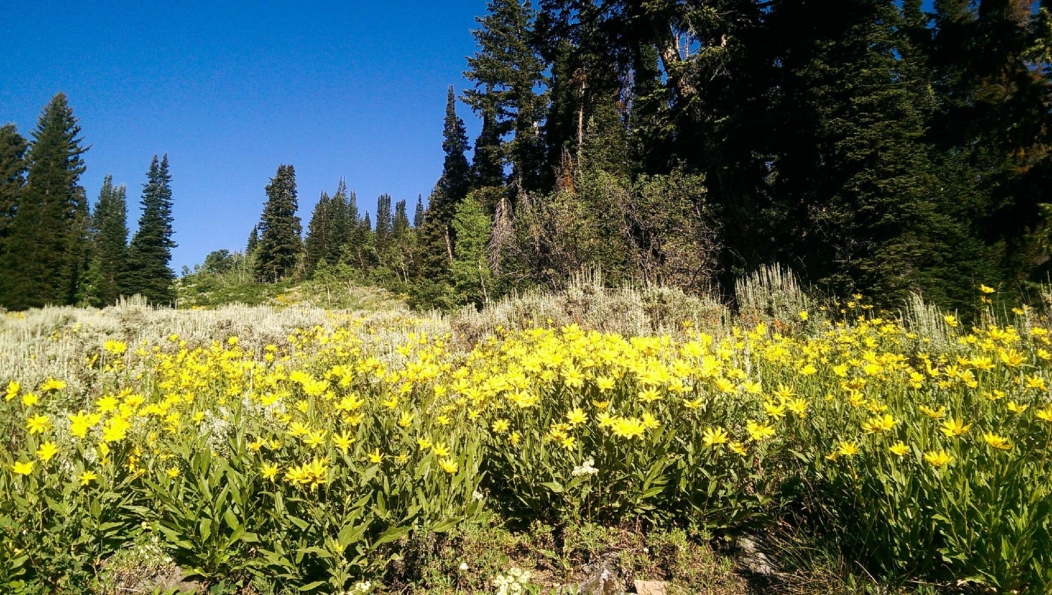
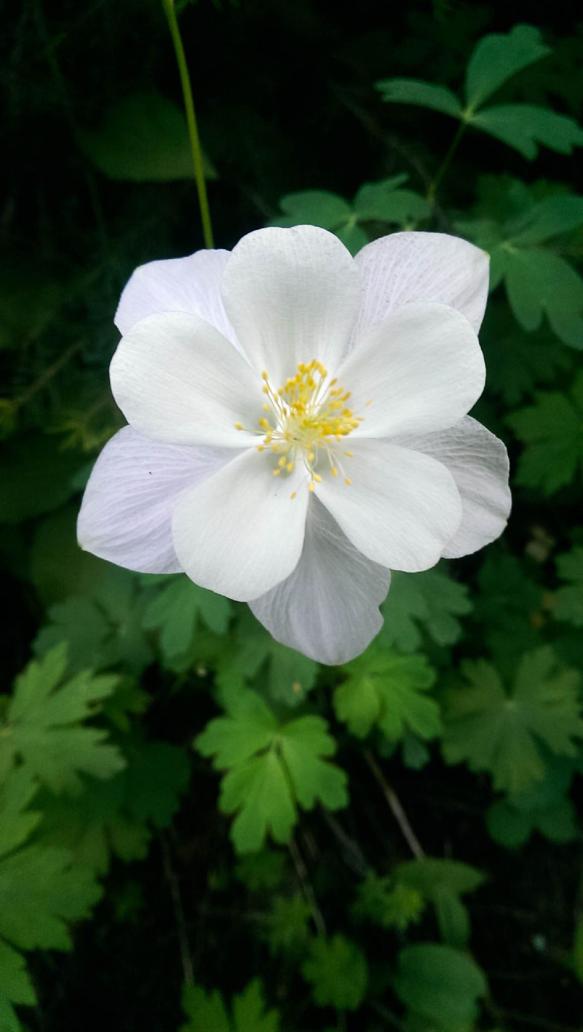
Donut Falls is an excellent and popular hike in Big Cottonwood Canyon. This is a good one regardless of the season. In the winter, it makes a great snowshoe and, in the summer, a hike. On any given summer day, I would wager this makes the list of top 10 busiest hikes in the Wasatch.
In the winter, the hike is 3.5 miles from the locked gate on the highway. In the summer, this hike can be as short as 1.4 miles round trip IF you can get a parking spot at the trailhead. Unless you are very early, I would generally recommend walking from the highway even in the summer to minimize traffic and parking frustrations along the road. The extra distance is easy walking and makes for an enjoyable addition.
Also, note, the steep canyon walls at the falls have produced avalanches in the winter at times. Be cautious in the area in the winter if avalanche danger is high.
Getting There
Big Cottonwood Canyon is on the east side of the Salt Lake City Valley. Get there by taking I-215 to the east, taking exit 6 off the interstate and heading east.
Follow 6200 South which becomes Wasatch Blvd for 1.8 miles to the stop light and signs for Big Cottonwood Canyon.
Turn left at the light and reset your odometer.
Drive up Big Cottonwood Canyon. The trailhead is at 8.9 miles, where there is a large parking area on each side of the road. Park on the right side of the road. There is a toilet here and gated road (open in the summer) that heads south to the Jordan Pines Campground and Forest Service Donut Falls Trailhead.
It is 0.8 miles down the road to the south to the Forest Service Trailhead. I don’t recommend driving to the Forest Service Trailhead. It is constantly full in the summer. Walking from the BCC adds a bit of distance but makes for a more enjoyable day.
Route Description
The description starts at the parking area along the Big Cottonwood road.
To the Forest Service Trailhead (30-40 minutes / 1.3 miles)
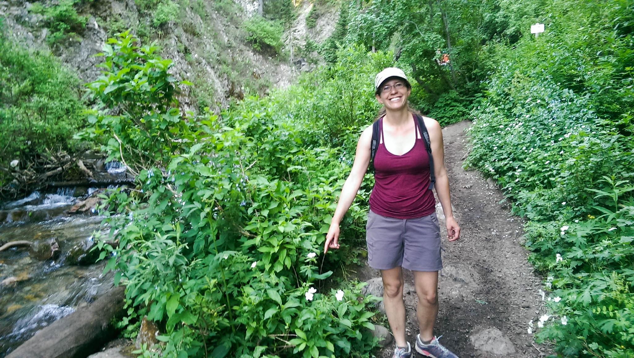
Walk the main road south. It crosses the stream over a bridge. A new trail, signed Donut Falls 1.5 miles, leaves the paved road shortly after the bridge on the left. This is a more enjoyable route than staying on the road and what I recommend. Follow the winding trail as it passes the Jordan Pines Campground, then climbs a bit and soon reaches a pit toilet and the Forest Service Trailhead.
To The Falls (20-30 minutes / 0.8 miles)
From the official trailhead, follow the wide and well-travelled trail. It climbs a little, then meanders around and down to cross the stream on a large bridge. Just past the stream is a junction, go left.
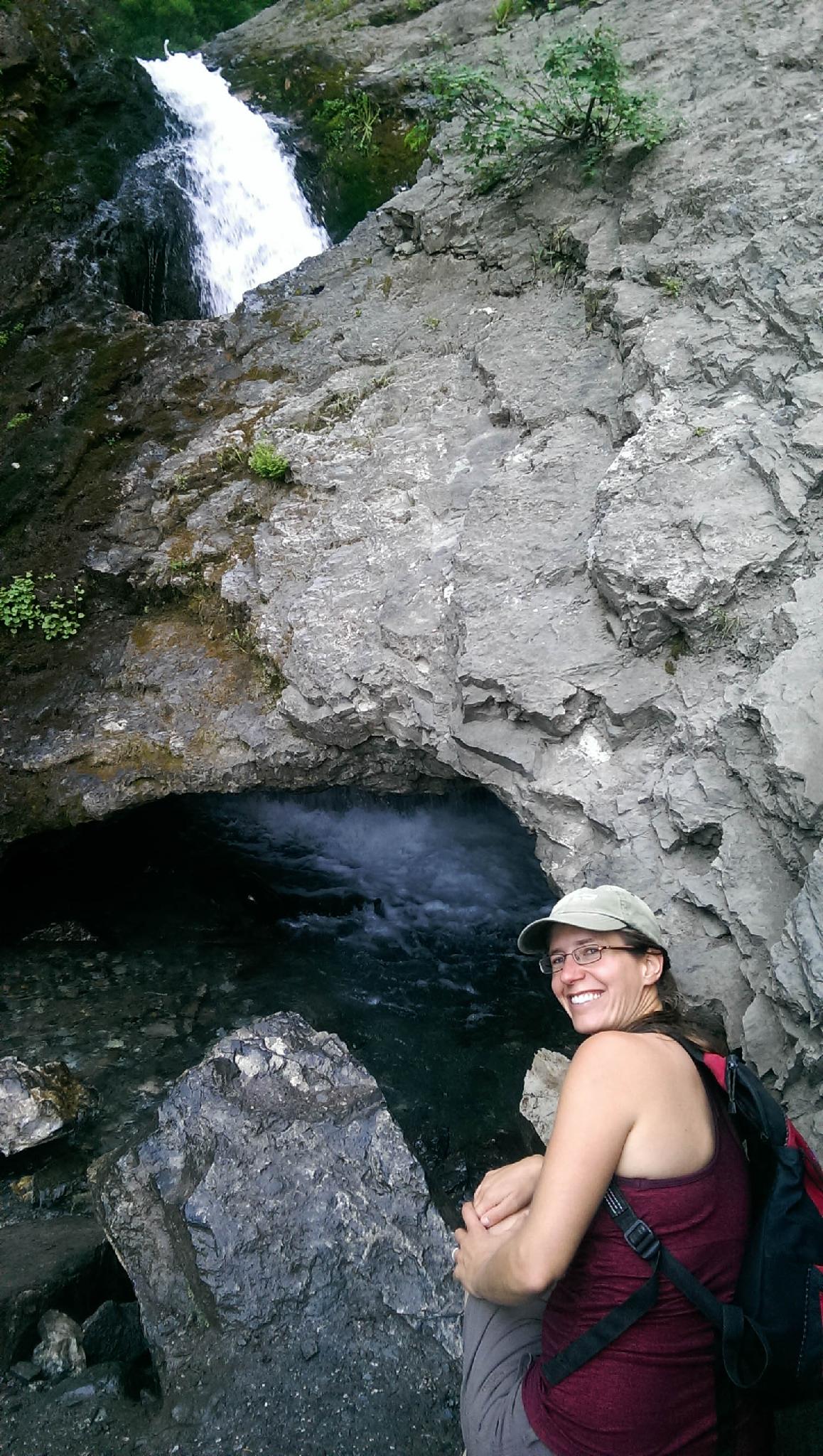
Follow the wide trail. At a somewhat major junction, keep left on the main trail. As the trail nears the falls, it narrows and descends to the stream bed. If flows are low and your rock hopping skills are good, you can keep your feet dry. The falls are visible within a minute of reaching the stream bottom.
Return the same way.
Optional Return
On the return, when reaching the main bridge over the river, you can go left, following a dirt road that goes down the canyon and reaches the trailhead. This is a nice semi-loop return and recommended.
Photos
Maps

12T 445113E 4500071N
40°38'59"N 111°38'57"W
12T 444931E 4498939N
40°38'22"N 111°39'05"W
12T 444697E 4498482N
40°38'07"N 111°39'14"W
12T 444668E 4498371N
40°38'04"N 111°39'16"W
12T 444644E 4498012N
40°37'52"N 111°39'16"W