 Hiking
Johnson Arch
Hiking
Johnson Arch
Snow Canyon
Overview
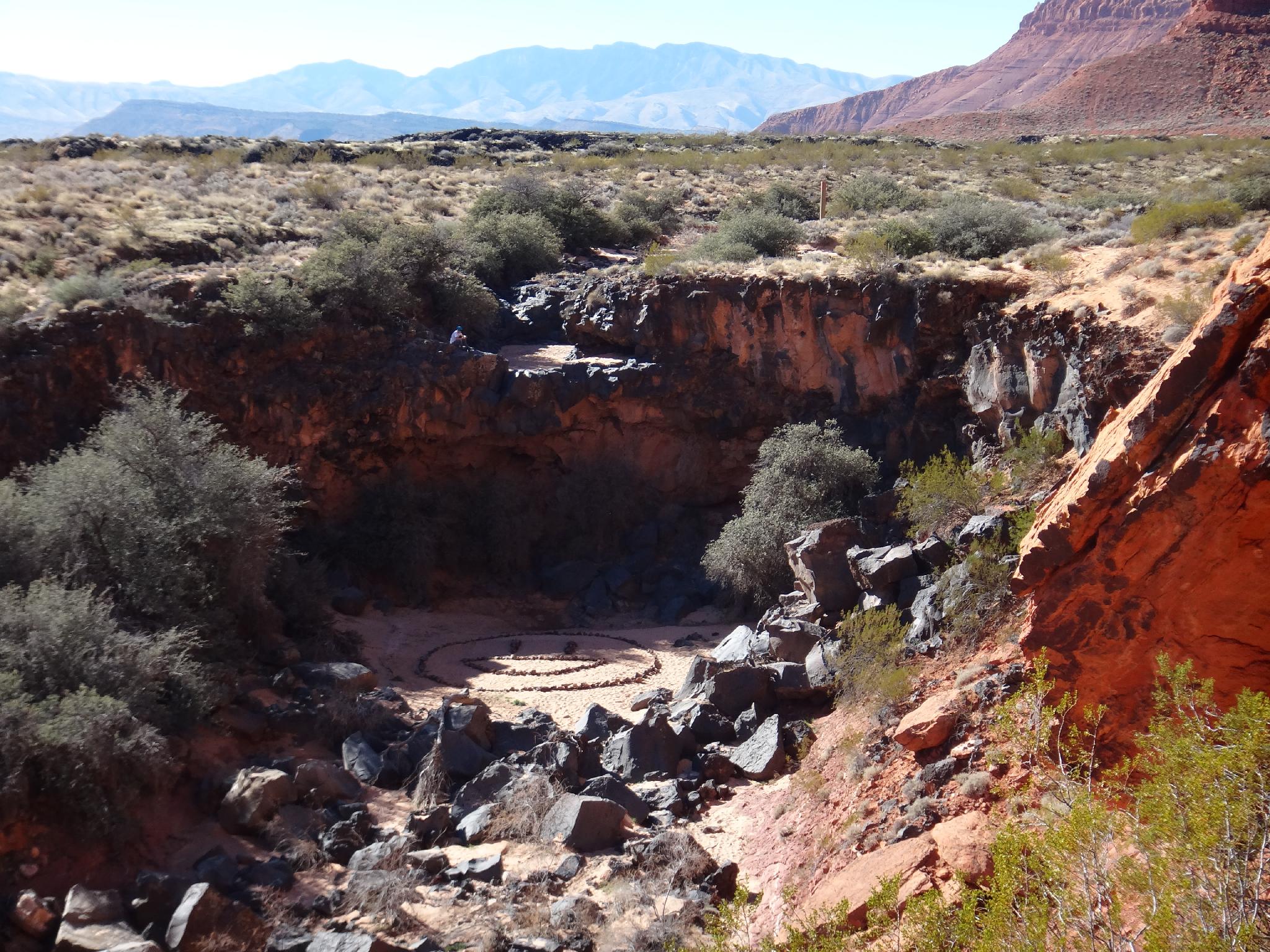
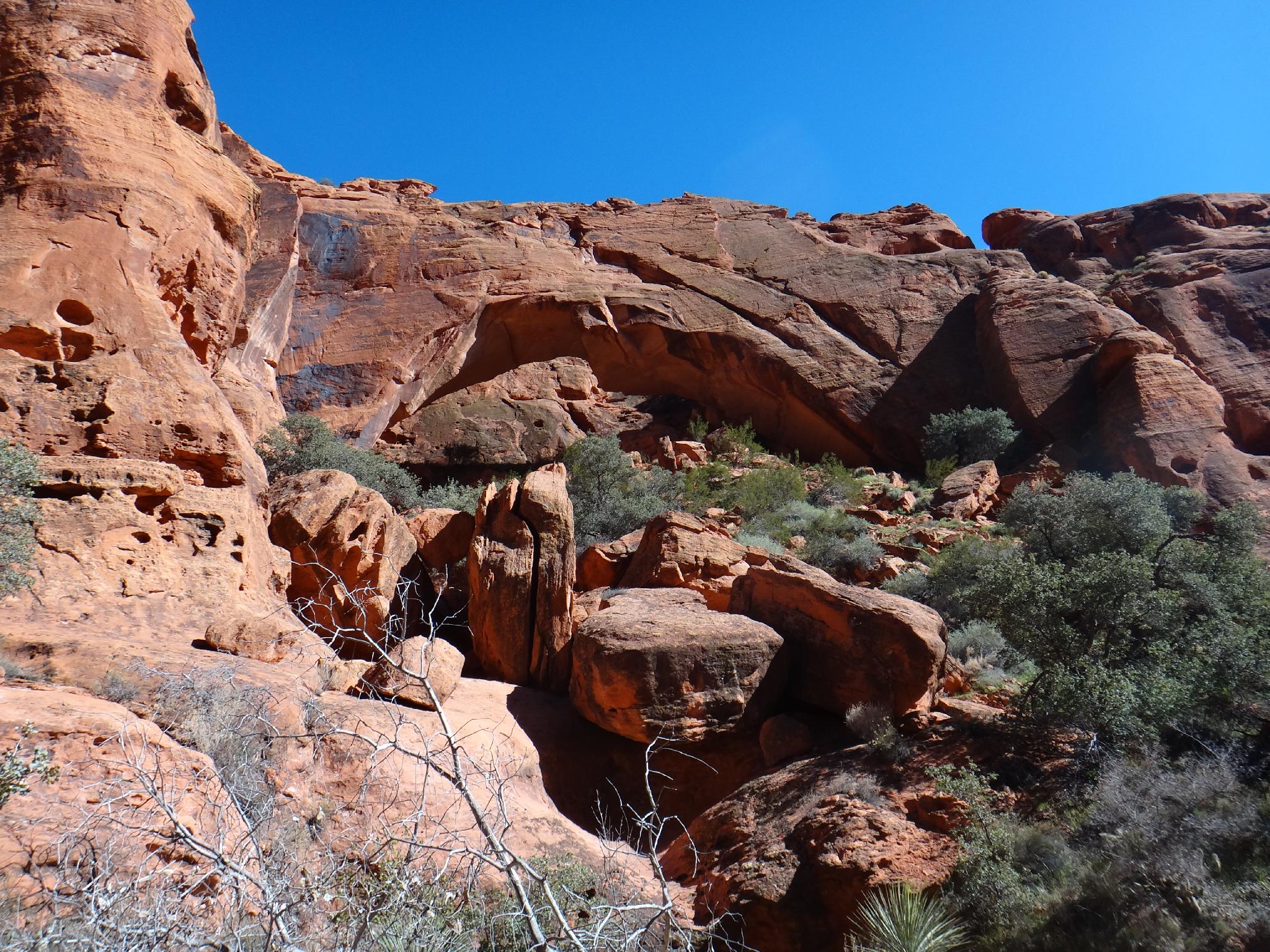
Johnson Arch is one of the more popular hikes in Snow Canyon State Park. This short 1.8 mile round-trip hike visits Johnson Arch, which has an impressive 200ft span. Most continue up a short distance to the end of Arch Canyon and hang out in the shade before the return trip. This is a very good, family friendly hike that should be accessible to most, with the end of Arch Canyon making a great picnic spot. A spring near the arch helps keep the canyon a little cooler, but avoid this hike in the heat of the day during summer months.
The trailhead is just before the park pay booth and will be full on most weekends, overflow is along the road.
Getting There
Take Exit 6 (Bluff Street at Saint George) from I-15 toward Bluff Street (this is route 18)
3.2 miles, go left onto Snow Canyon Parkway
Follow this road, staying straight at the first round-about until the second round-about at 3.9 miles. Go right here, onto Snow Canyon Drive and follow it 0.8 miles to a trailhead (parking area on the left). This is shortly BEFORE the pay booth to go into Snow Canyon State Park.
Route Description
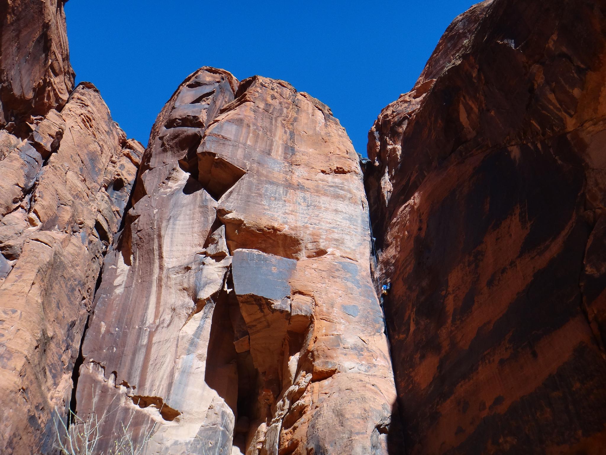
From the parking area, cross the road and follow the well traveled and wide trail. It crosses the basalt rubble plain before reaching the base of the cliffs, circling around, and entering Johnson Canyon. Once in the canyon proper, a spring and water pipe are on the right, before the trail reach Johnson Arch at a log fence on the right.
The arch, though an impressive 200' span, is somewhat hard to photograph as it blends into the cliffs surrounding it. Up canyon 5 more minutes is the 200' dryfall that marks the end of Arch Canyon, and the end of the hike. Kids will love to play in the sand here, and there are many opportunities to hang out in the shade.
Return the same way.
Maps

12S 265184E 4117906N
37°10'41"N 113°38'42"W
12S 266090E 4118084N
37°10'48"N 113°38'06"W
12S 266104E 4118272N
37°10'54"N 113°38'05"W