 Hiking
Joe Hole
Hiking
Joe Hole
Northern Swell
Overview
No matter how much time I spend in the San Rafael Swell, I always feel like there is so much more to see! This is the case with Joe Hole. I was passing through the Swell and searching for a place to wander I hadn't wandered before. Joe Hole, with its easy access right off the Green River Cutoff road, fit the bill nicely. I hadn't heard anything about this obscure and, at least as far as the map went, not very interesting looking canyon but decided to check it out anyway.
It turns out Joe Hole is a gem of a hike. A short approach leads to a historic livestock trail down to the canyon bottom. From there, the canyon turns out to be a delightful hike among stunning sandstone walls with alcoves and a couple of arches dotting the walls. As the canyon was opening, and I was about to head back, one more surprise was in store. Low in the canyon is a rather stunning natural bridge!
As an out-and-back, this is a nice hike. Round-trip to the bridge and back is about 5 miles and is generally easy hiking. I would rate this one of the best hikes in the area for the distance.
Getting There
The trailhead is off the Green River Cutoff Road. Described below are the two most common approaches, from the top of Buckhorn Wash (west) or from US-191/6 (east).
From The Top of Buckhorn Wash
Travel 12.6 miles east from the top of Buckhorn Wash toward Green River/US-191. At 12.6 miles from the top of Buckhorn Wash, a side road leaves on the south (right) side. Follow the side road 0.6 miles to where it crosses Joe Hole.
From US-191/6
To reach the trailhead, take the Green River cutoff from highway 6 between Price and I-70. This good dirt road travels west off US-191/6 at mile marker 283.2 (16.4 miles north of I-70 on highway 6).
Route Description
From the trailhead, head down the wide open wash. After just a few minutes (1/4 mile), the canyon begins to cut into sandstone and deepen. This first section has a couple of easy to moderate down climbs most should feel comfortable doing. If you don't feel comfortable, or there is a pool at the bottom, and you would rather not get wet, walk the right (south) rim for a few minutes to an old fence. A livestock trail angles down from the fence to the canyon floor.
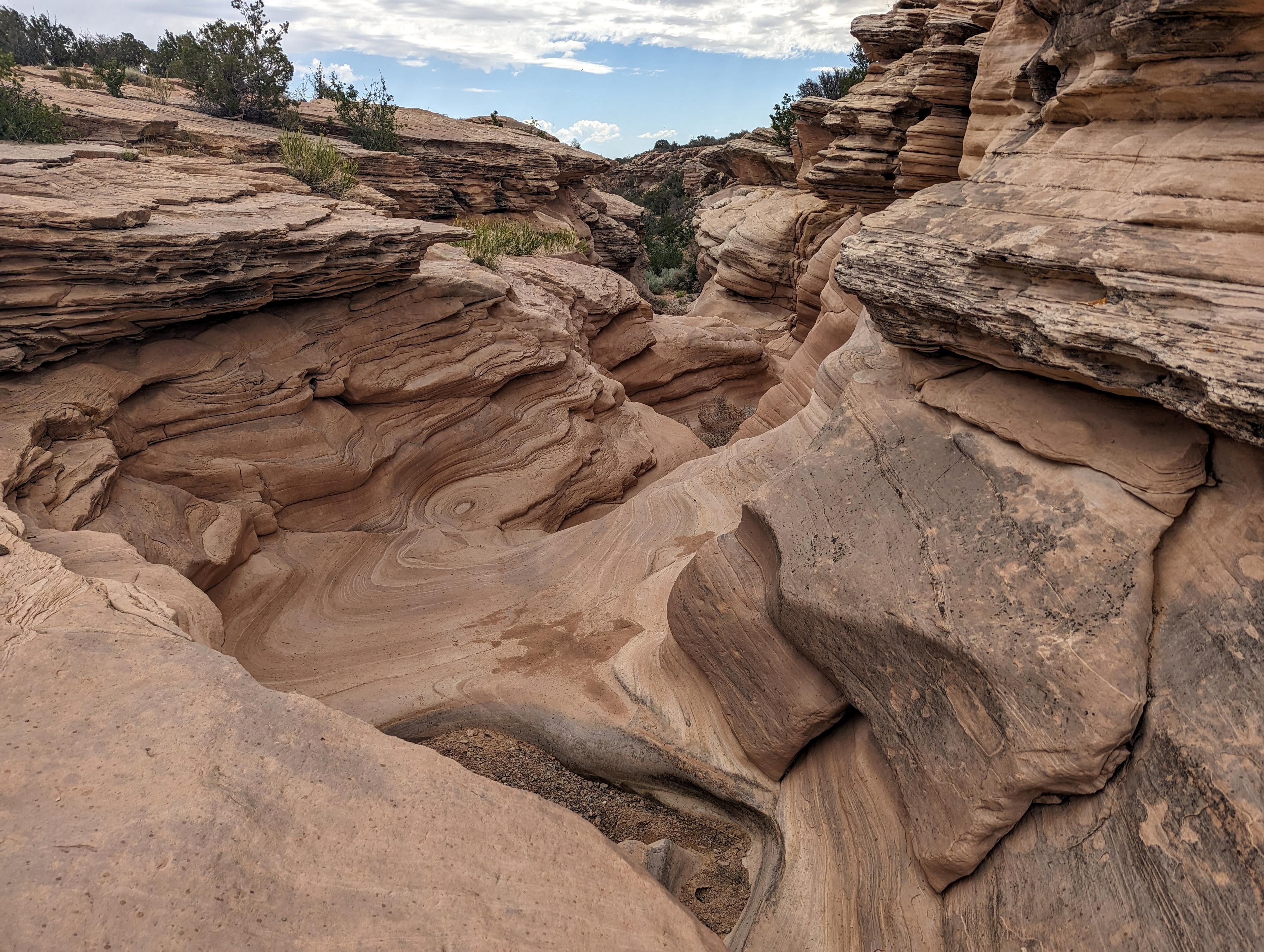
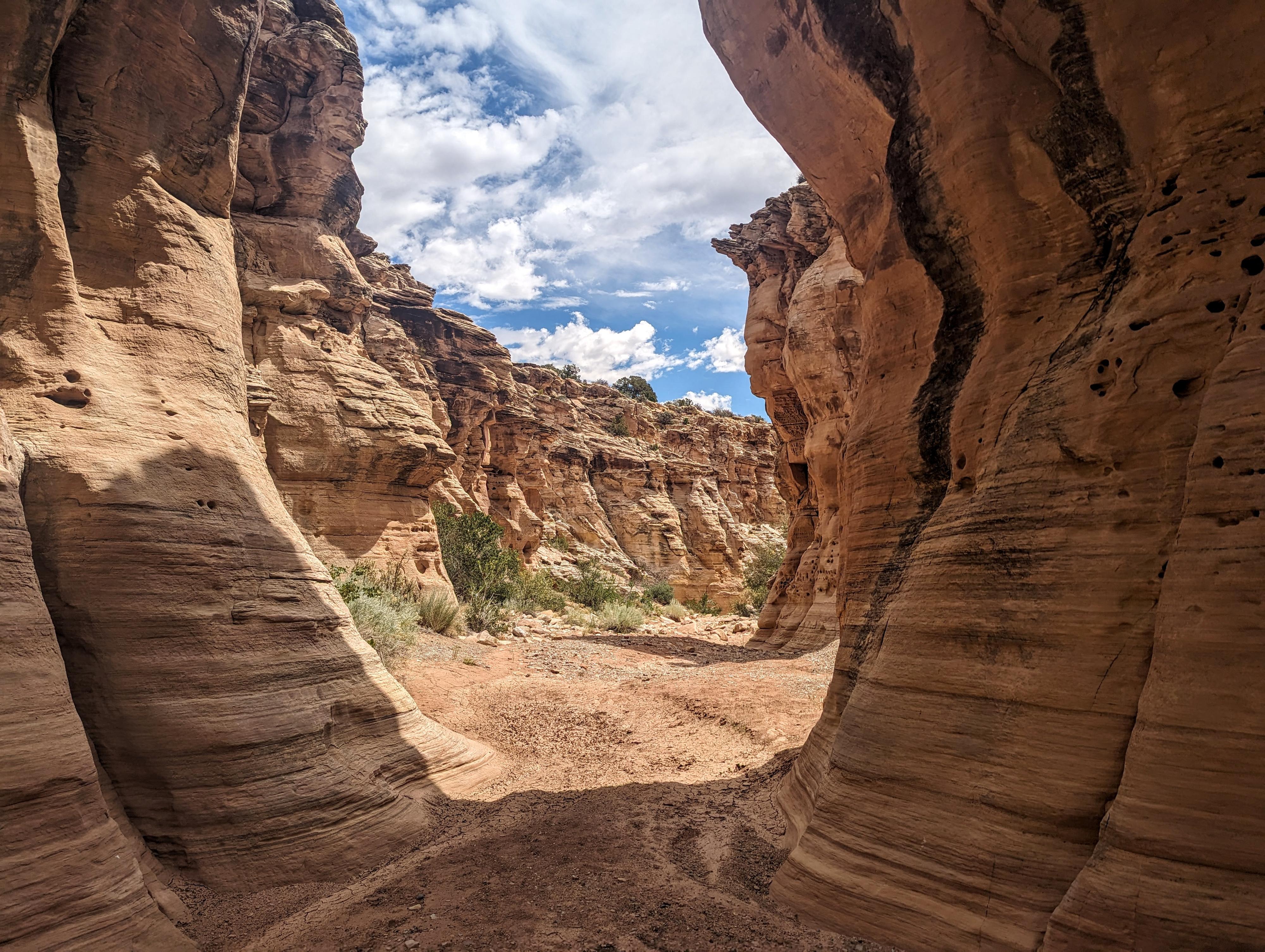
Head down canyon. The walls are surprisingly tall, textured and vibrant. There is at least one arch that may pass the official test as being an arch, shown on the map, but several other smaller arches are along the canyon walls, as well as several alcoves and overhangs. There are no major obstacles along the way.
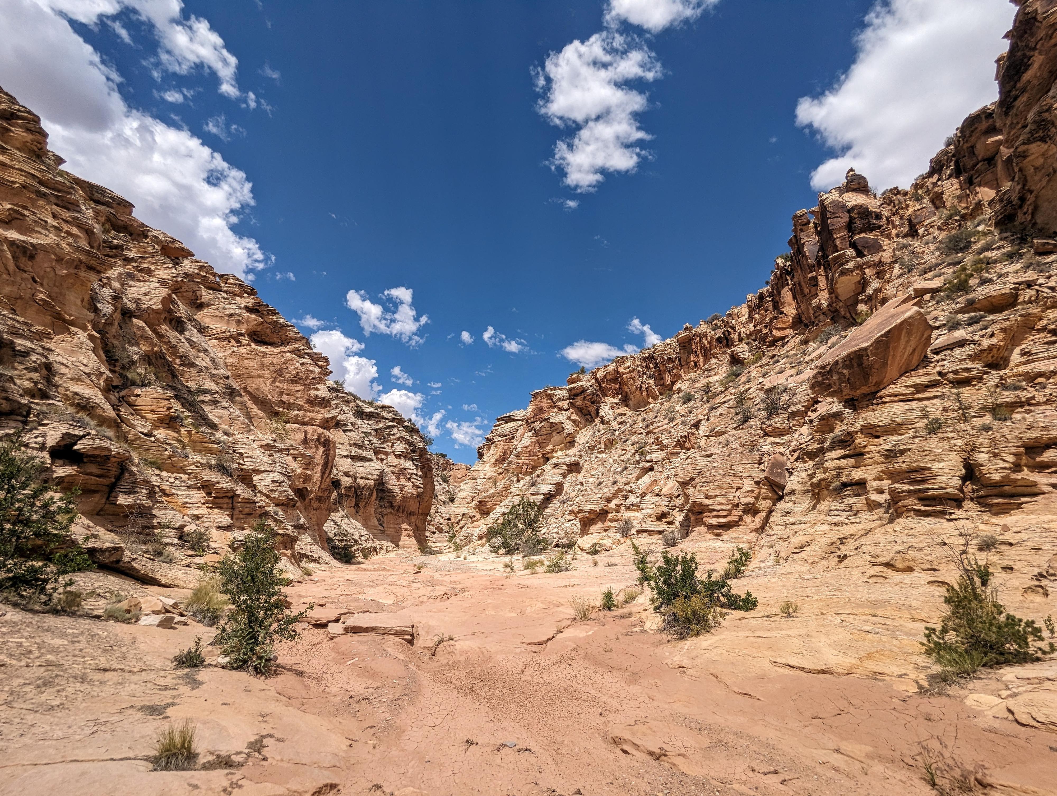
A little over 2 miles in, the walls begin to subside, and the canyon looks to be opening up for good. Continue down the canyon a few minutes. The floor again cuts into sandstone, this time with 2 short drops. The first is likely easy for most to climb down or up, the second is likely too hard for most. This second short drop is down through the natural bridge. It appears to be an old pothole that time and water eventually pushed a hole out the bottom, changing it from a pothole to a bridge.
Return the same way.
Photos
Maps

12S 538725E 4335608N
39°10'08"N 110°33'06"W
12S 539112E 4335604N
39°10'08"N 110°32'50"W
12S 539255E 4335601N
39°10'08"N 110°32'44"W
12S 539539E 4335750N
39°10'12"N 110°32'32"W
12S 541660E 4336012N
39°10'20"N 110°31'04"W
12S 541615E 4336025N
39°10'21"N 110°31'06"W