 Canyoneering
Arch (Johnson) Canyon
Canyoneering
Arch (Johnson) Canyon
Snow Canyon
Overview
Arch Canyon has to be one of the best beginner friendly canyoneering adventures in the Saint George area. Good anchors, relatively short, with some impressive rappels and nice (though short) narrow sections, this is a good one I highly recommend. The rappels start small and get bigger, culminating in a 60 m ( 197 ft. ) rappel near Johnson Arch. Expect to have an audience for the final rappel on any busy weekend!
The canyon is in the Snow Canyon State Park, and requires a permit. To protect nesting birds, it is closed from March 15th to September 14th (late spring through fall). Since it is ONLY open in the fall, winter, and early spring, and it CAN hold several deep pools, a wetsuit is required except during very warm days. The canyon alternates between sunny open sections and short shady sections, so sun is generally available only a few minutes after each pool if you need to warm up.
Getting There
Exit Trailhead
Take Exit 6 from I-15 toward Bluff Street (this is route 18)
3.2 miles, go left onto Snow Canyon Parkway
Follow this road, staying straight at the first round-about until the second round-about at 3.9 miles. Go right here, onto Snow Canyon Drive and follow it 0.8 miles to a trailhead (parking area on the left). This is shortly BEFORE the pay booth to go into Snow Canyon State Park.
Starting Trailhead
Go back to Route 18. (back 0.8 miles, then left at the round-about for about 4 miles)
Go north on Route 18 about 0.6 miles to the Chuckwalla Trailhead on the left (west) side of Route 18. This is a popular climbing area, and often quite busy on weekends.
Route Description
Approach (4.4 miles / 1.5 -2 hours)
From the Chuckwalla Trailhead, follow the Chuckwalla Trail 0.85 miles to its junction with Turtle Wall Trail. Go left here, on the Turtle Wall Trail. It crosses the wash, then heads northwest to near the base of the slickrock. Follow the Turtle Wall Trail a mile to where it reaches a junction with the Palisade Rim Trail.
Go right on the Paradise Rim Trail. Quickly (a couple of minutes/0.25 miles), this becomes the Gila Trail. Follow the Gila Trail north. There are many side trails, stay on the main trail. After 1.5 miles on the Gila Trail, the Gila Trail reaches a junction with a road. Go left here, staying on the Gila Trail. Follow the Gila Trail north to where it descends into Arch Canyon. There are many footprints and side trails crisscrossing the area, though it is relatively easy to find the canyon.
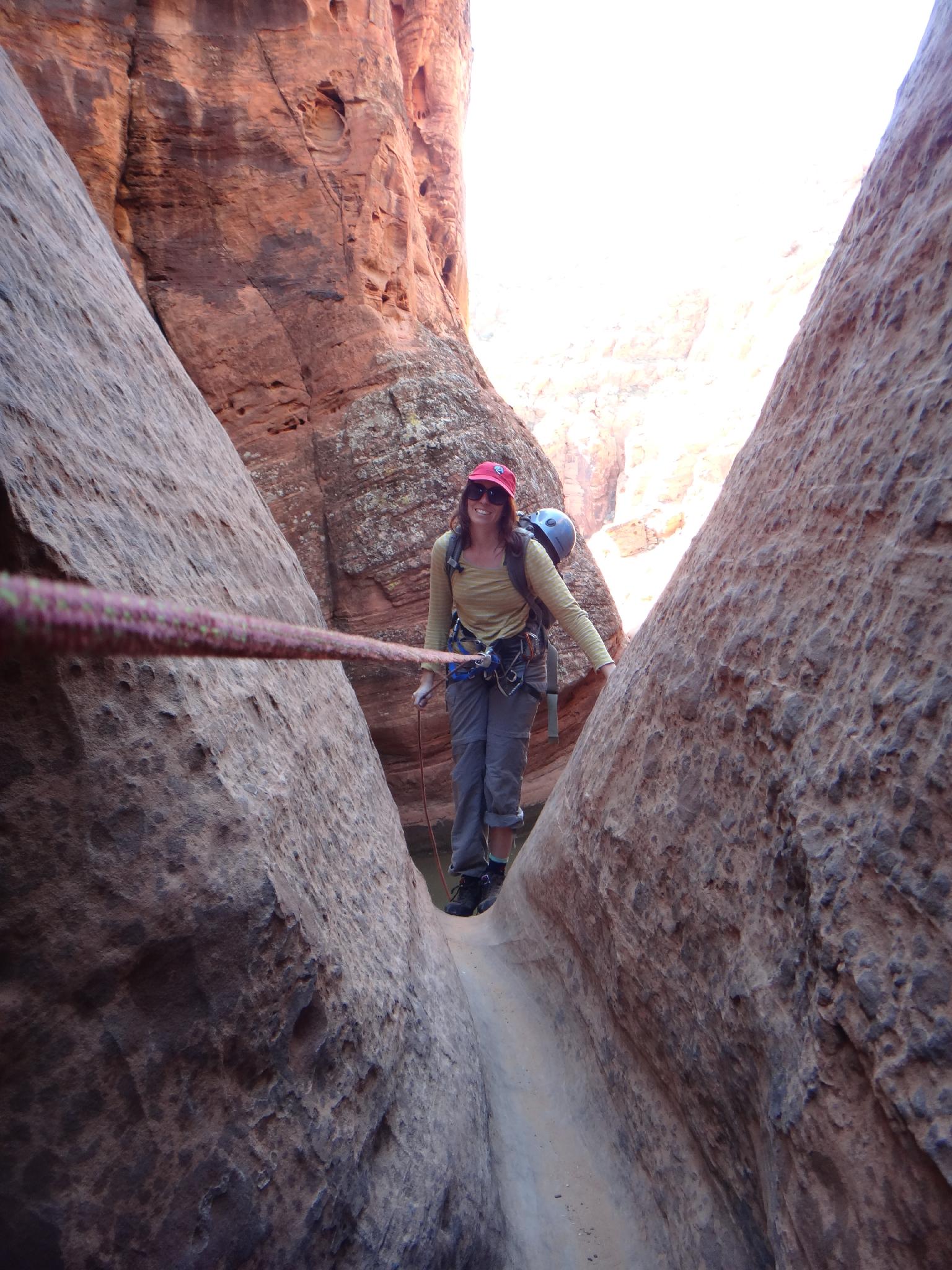
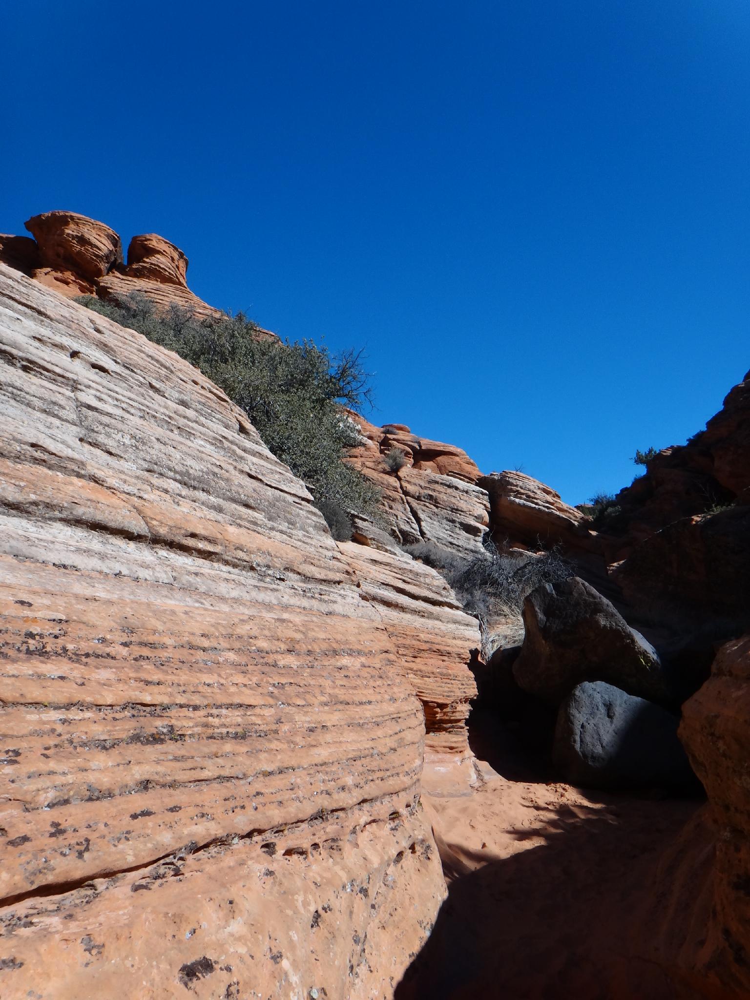
Canyon
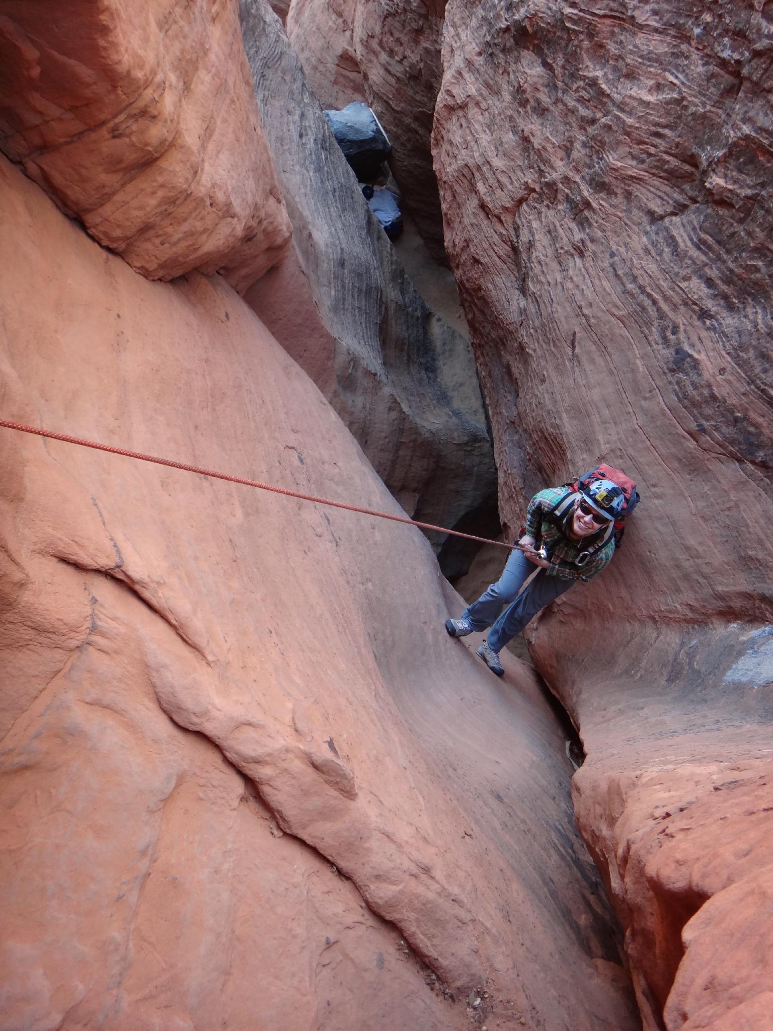
Head down canyon, quickly coming to the first rappel with a bolted anchor on the left. This is an intermediate downclimb, but beginners may want a rope. (7 m ( 23 ft. ))
Rappel 2 is a two stage drop of about 15 m ( 50 ft. ). There may be a pool here.
Continuing down canyon, stay left as the canyon slots and drops to an anchor and rappel 3, 15 m ( 50 ft. ).
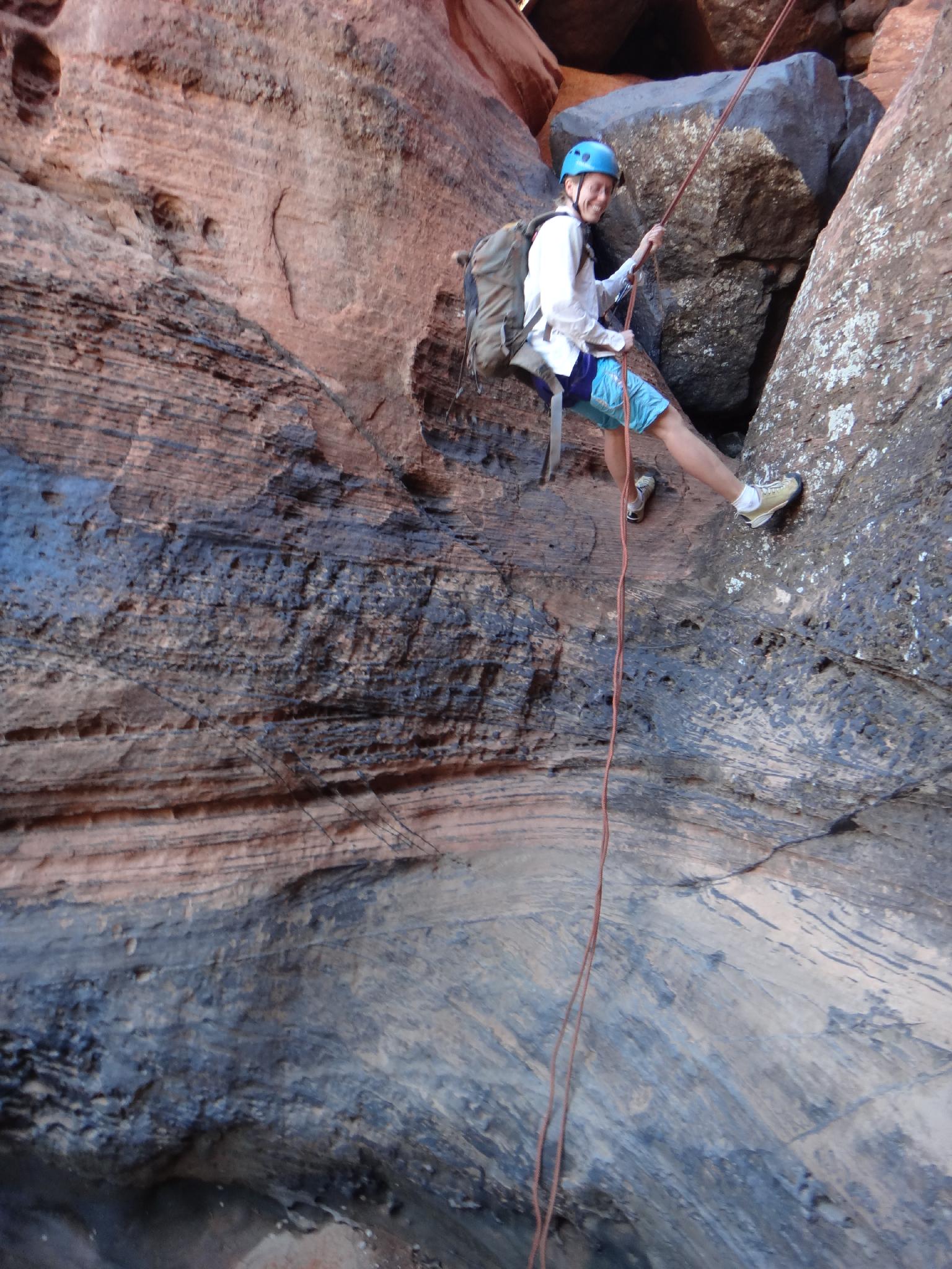
Immediately down from rappel 3 is rappel 4 off a boulder and 7 m ( 23 ft. ) into a pool. Walking on the right edge of the pool kept it less than knee deep on our trip, a particularly warm and dry time.
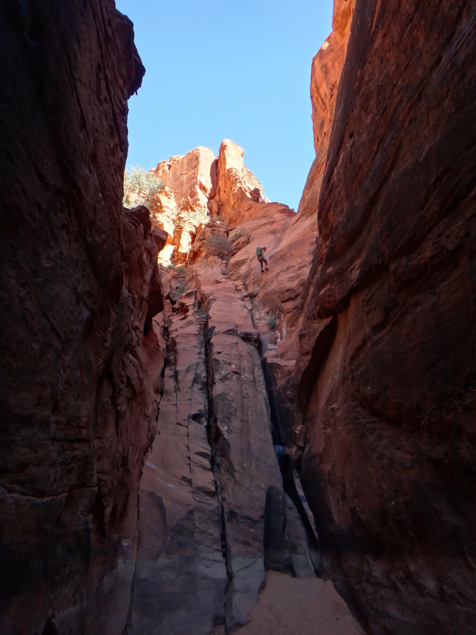
The canyon opens briefly before dropping 31 m ( 102 ft. ) at rappel 5. Be mindful of your pull. This rappel can have a large pool at the bottom. (Deep wade or swimmer by the look of the waterline on the wall.)
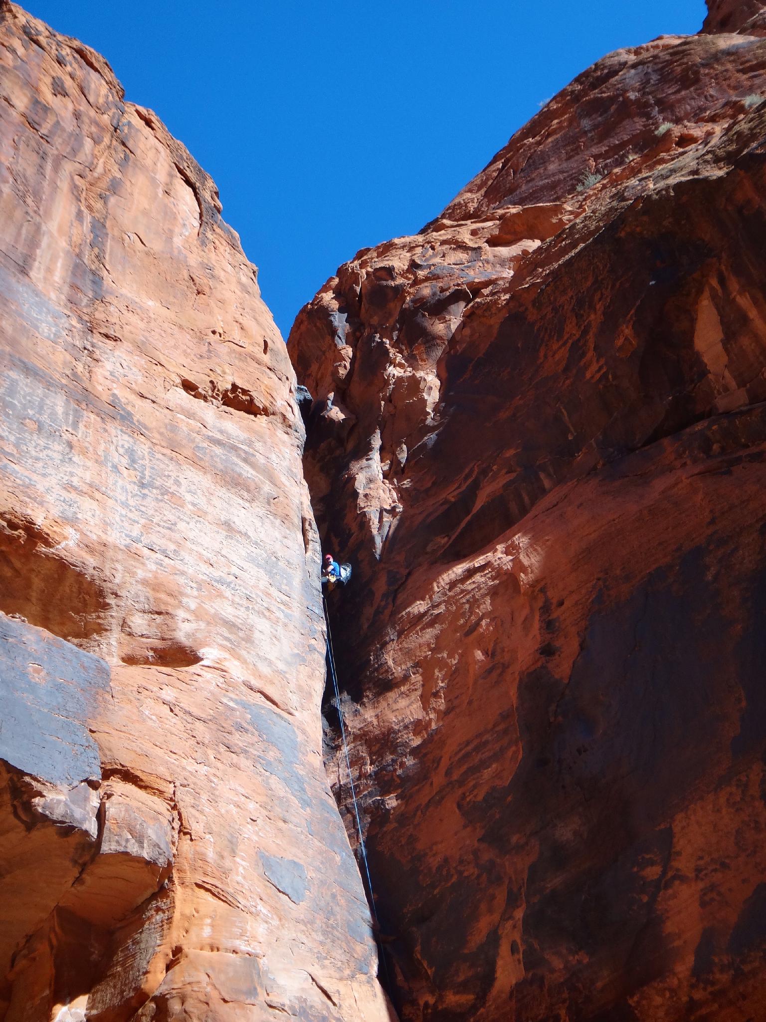
A sunny section leads to the final 60 m ( 197 ft. ) rappel. Be VERY mindful of how you rig your ropes. The rope grooves are bad here, and the angle of the rappel causes people rappelling to tend to want to swing and slide the rope across the grooves. From the bottom, pull the rope from far back to minimize the grooves and maximize the chance of the rope pulling cleanly.
Exit (20 minutes)
Follow the trail down canyon a couple of minutes to Johnson Arch on the left, then on another 15-20 minutes to the trailhead.
Photos
Maps
 Canyon - Snow Canyon Map")
12S 268645E 4113382N
37°08'18"N 113°36'17"W
12S 268085E 4114294N
37°08'47"N 113°36'40"W
12S 267055E 4115124N
37°09'13"N 113°37'23"W
12S 267013E 4116971N
37°10'13"N 113°37'27"W
12S 266493E 4118384N
37°10'58"N 113°37'50"W
12S 266135E 4118294N
37°10'55"N 113°38'04"W
12S 265193E 4117904N
37°10'41"N 113°38'42"W