 Hiking
Alpenbock Trail
Hiking
Alpenbock Trail
Little Cottonwood
Overview
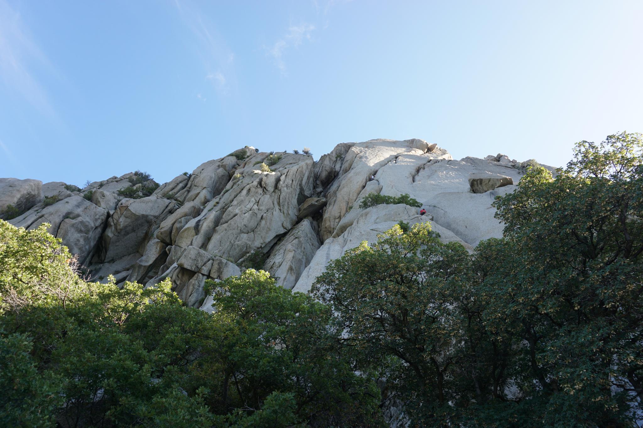
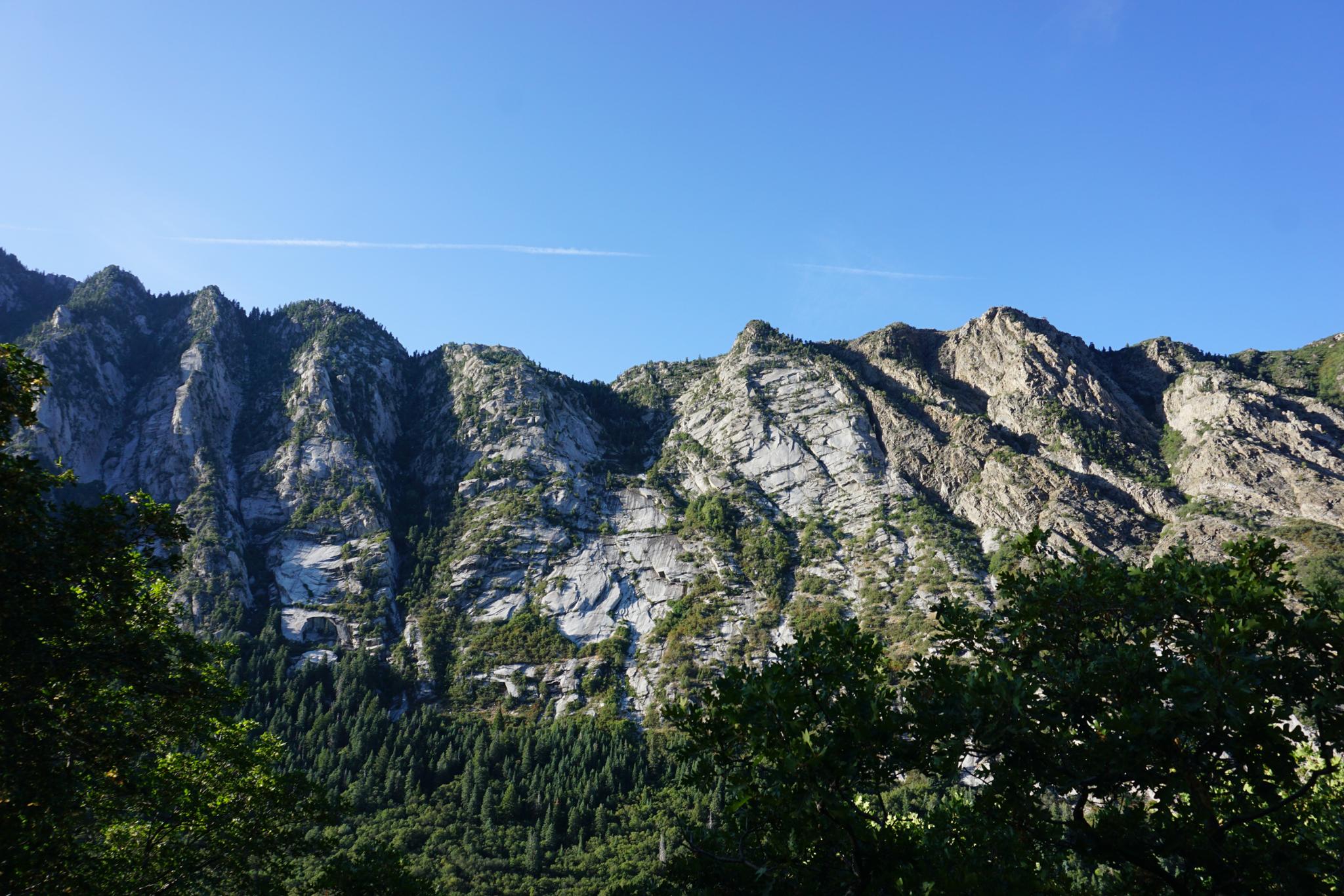
The Wasatch is steeped in climbing history. Start in the 1960s; climbers have pioneered and enjoyed almost countless routes on the granite cliffs in Little Cottonwood Canyon. I started climbing in the mid-1990s, and the routes up Little Cottonwood were where I learned traditional climbing. With names like Split Pants, Schoolroom, Chicken Chickenhead, and Satans Corner, the routes always held adventure.
The climbing in LCC, for me, is memorable and a highlight of the climbing I have done. The other highlight simply being in the canyon among the cliffs. The Alpenbock trail was developed through a partnership of several organizations to improve access and reduce impacts to several of the climbing areas near the mouth of Little Cottonwood.
The Alpenbock trail is beneficial to climbers and has simplified and improved access. It is also an excellent outing for non-climbers to experience the canyon walls up close and take in the views! Sunset, in particular, is my favorite time to be up the canyon. The light on the cliffs is stunning.
Getting There
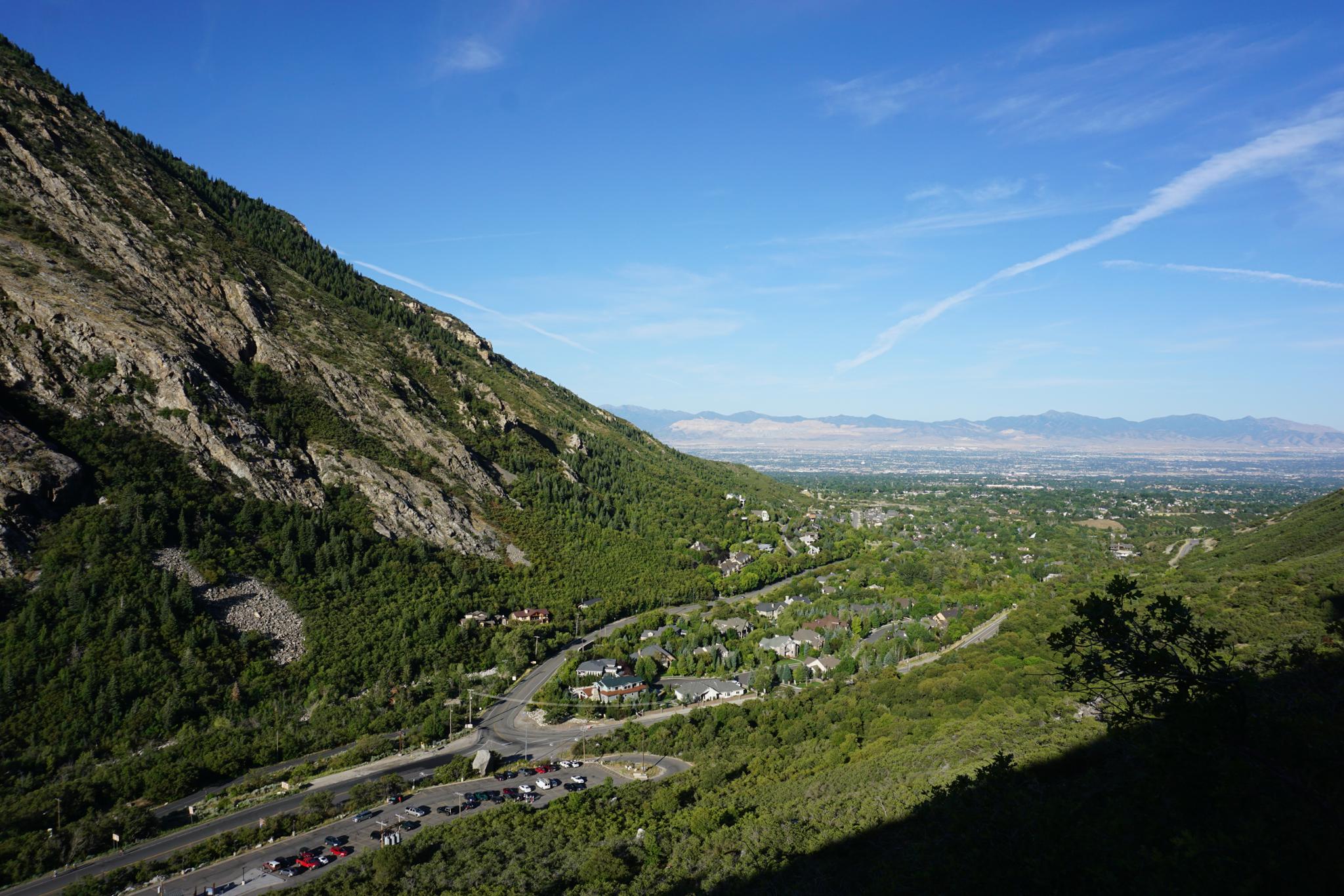
Little Cottonwood Canyon is on the east side of the Salt Lake City Valley. Get there by following I-215 to the east, taking exit 6 off the interstate and heading east toward the mountains.
Follow 6200 South which becomes Wasatch Blvd for 1.8 miles to the stop light and signs for Big Cottonwood Canyon. Continue south (straight) through the light an additional 2.3 miles to a junction and light. Stay left here, reaching the mouth of Little Cottonwood Canyon in an additional 1.6 miles.
The trailhead is on the right at the mouth of the canyon on the left and is signed as the Park and Ride Lot. There is a restroom at the parking area. Park on the east side of the parking area.
Route Description
The loop starts on either end of the Park and Ride lot. On the east side (up canyon side), follow the steps up from the parking lot. The trail quickly reaches a junction and information sign.
Either direction works, I liked counter-clockwise. If going counter-clockwise, the trail begins mostly flat on an old pipeline and heads east into the canyon. There are a few minor side trails that go to climbing areas. Stay on the main trail.
At the Crescent Crack/Coffin trail junction, go left. The trail climbs to the base of the cliffs, then heads west past the parking area, before descending and looping back to the parking area. You are very likely to see climbers on Crescent Crack or the Coffin. It is an excellent place to bring kids to watch climbers, or at least our daughter enjoyed the show
Maps

12T 434445E 4491605N
40°34'22"N 111°46'28"W
12T 434296E 4491672N
40°34'24"N 111°46'34"W
12T 434773E 4491577N
40°34'21"N 111°46'14"W