
 Battle Creek Falls
Orem
Overview
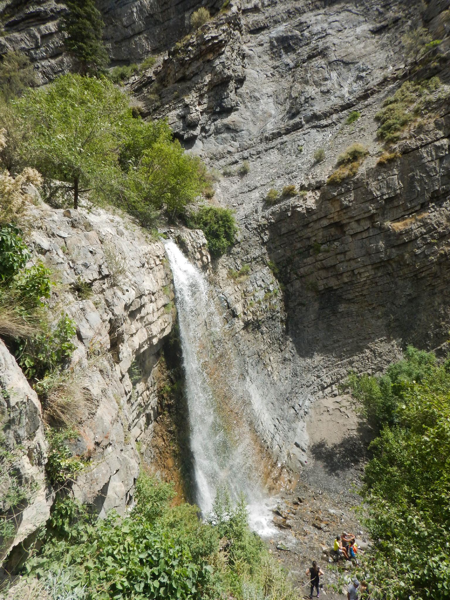
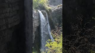
Does the family need a break from the heat in Utah Valley? This is an excellent family friend hike to the 15 m tall Battle Creek Falls. The short 1.2-mile roundtrip hike is mostly along an old road and very well traveled trail, making it suitable for most. The falls offer an excellent place to hang out at on a hot summer day. Dogs are currently allowed as well.
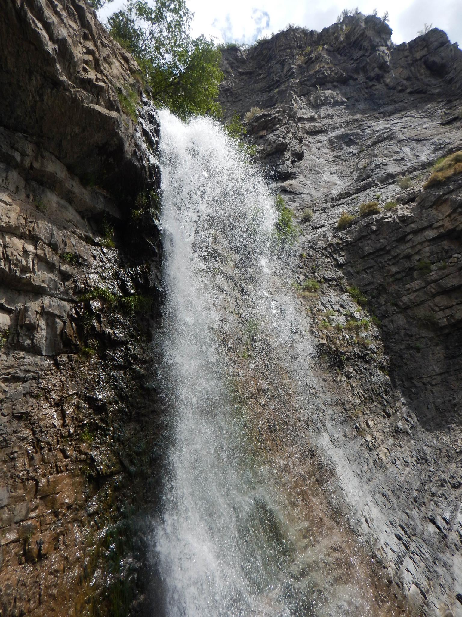
Also note, this rappel is NOT recommended until late summer. The stream has good flow and can be dangerous at higher water levels. We visited in early July and it was flowing high enough that we decided against it. The best rappel spot will put you right in the direct flow below the main falls.
Getting There
Take exit 273 from I-15 and go east.
Follow 600 south about 1.3 miles to 400 W.
Turn left onto 400 W and follow it north. At about 1.8 miles, it becomes 1500 E.
Continue about 0.6 miles after the street becomes 1500 E to where the road ends at a T. Go right.
The trailhead is a short distance ahead with a large dirt parking area.
Route Description
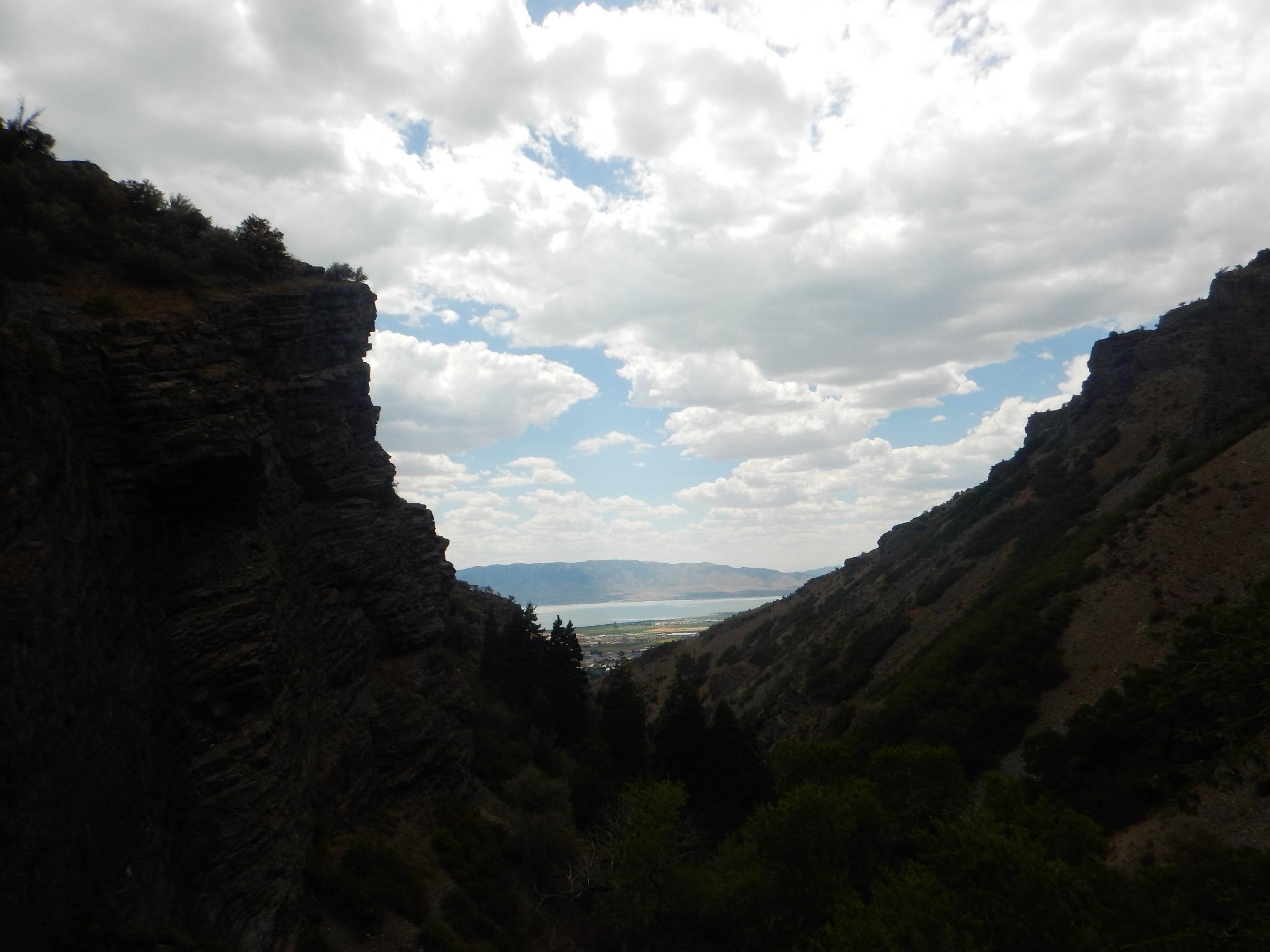
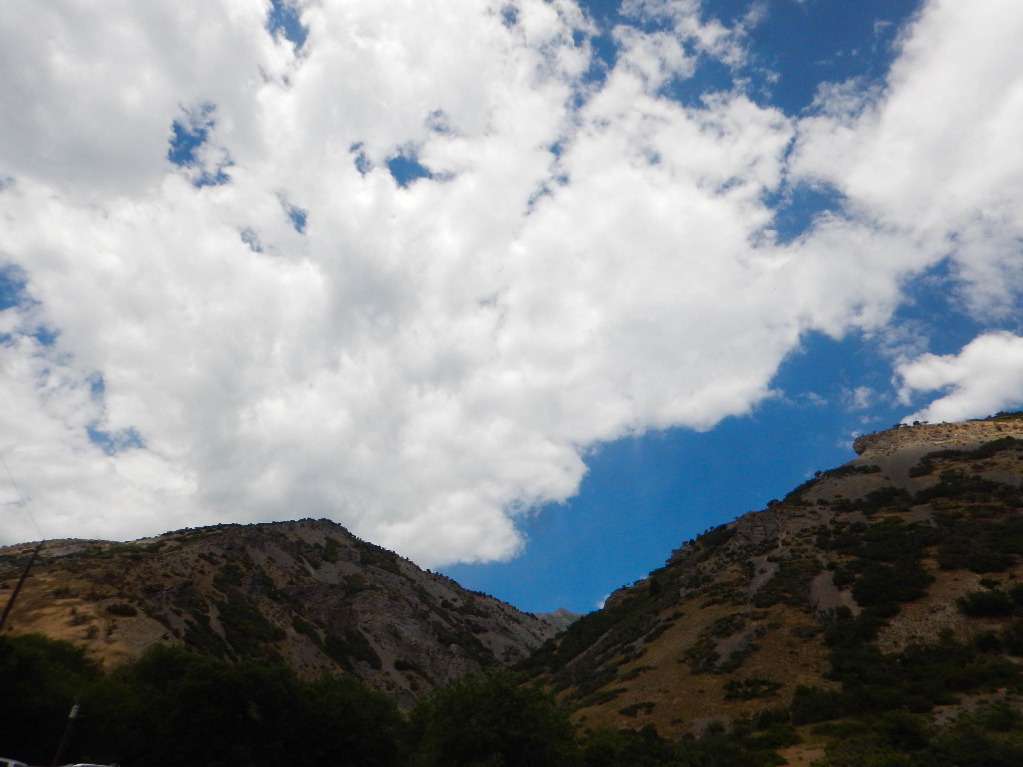
The trail starts at the parking lot, just outside the Kiwanis park. Don't enter the park, but follow the wide and well-used trail east as it skirts along Kiwanis Park, then meanders over to Battle Creek proper. The lower section of the creek is often dry, but as you near the falls, the creek has flow. It is diverted for drinking water use not far below the falls.
The trail branches at the falls. Right leads steeply down to the bottom of the falls and a great hangout spot. Left continues a short distance to the top of the falls and excellent views to the west.
Return the same way.
Photos
Videos
Battle Creek Falls Rappel July 2024
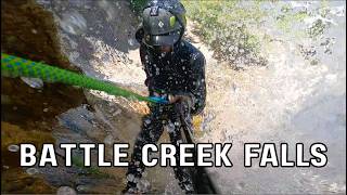
Rappelling the main flow as well as rappelling off to the side
Maps

12T 440506E 4468265N
40°21'46"N 111°42'02"W
12T 441174E 4468772N
40°22'03"N 111°41'34"W