 Hiking
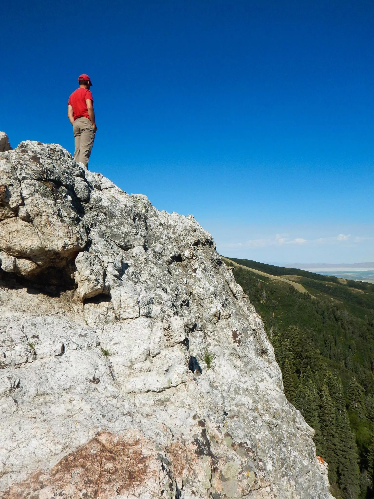
Big Rock (Elephant Rock)
Hiking
Big Rock (Elephant Rock)
Bountiful
Overview
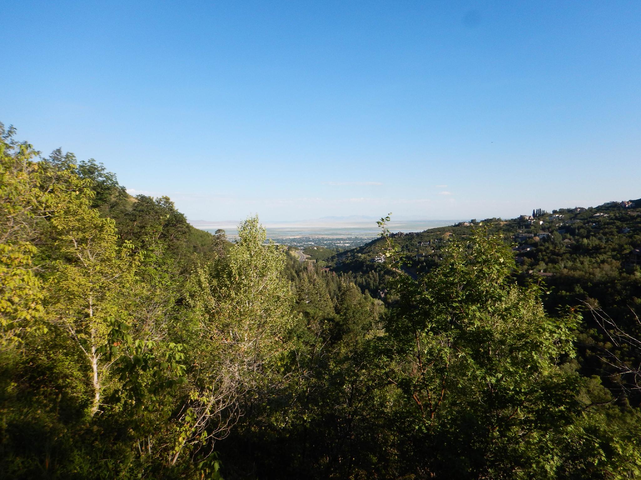
I am not sure whom the creative genius was that named Big Rock, but they clearly were having a lazy day. Big Rock is just that, a big rock on the hillside above Mueller Park just east of Bountiful. The area is very popular with mountain bikers and locals out looking for a casual stroll.
The hike doesn't have a lot to recommend it, except the destination, the Big Rock. Along the way to the Big Rock, the hike contours along through dense dusty cover offering occasional views. Once at Big Rock, views to the west of Antelope Island, The Great Salt Lake, and Bountiful offer a nice reward for the effort. As a mountain bike ride, it is pleasantly wide and not too steep, which is likely why it is popular.
Getting There
The trailhead is at the entrance to Mueller Park in Bountiful. To reach the park, take exit 315 from I-15. Go east on 2600 S. At about 0.8 miles it becomes Orchard Drive. Follow Orchard Drive about a mile to 1800 South. Turn right on 1800 South and follow it 2.7 miles to the entrance of Mueller Park.
Route Description
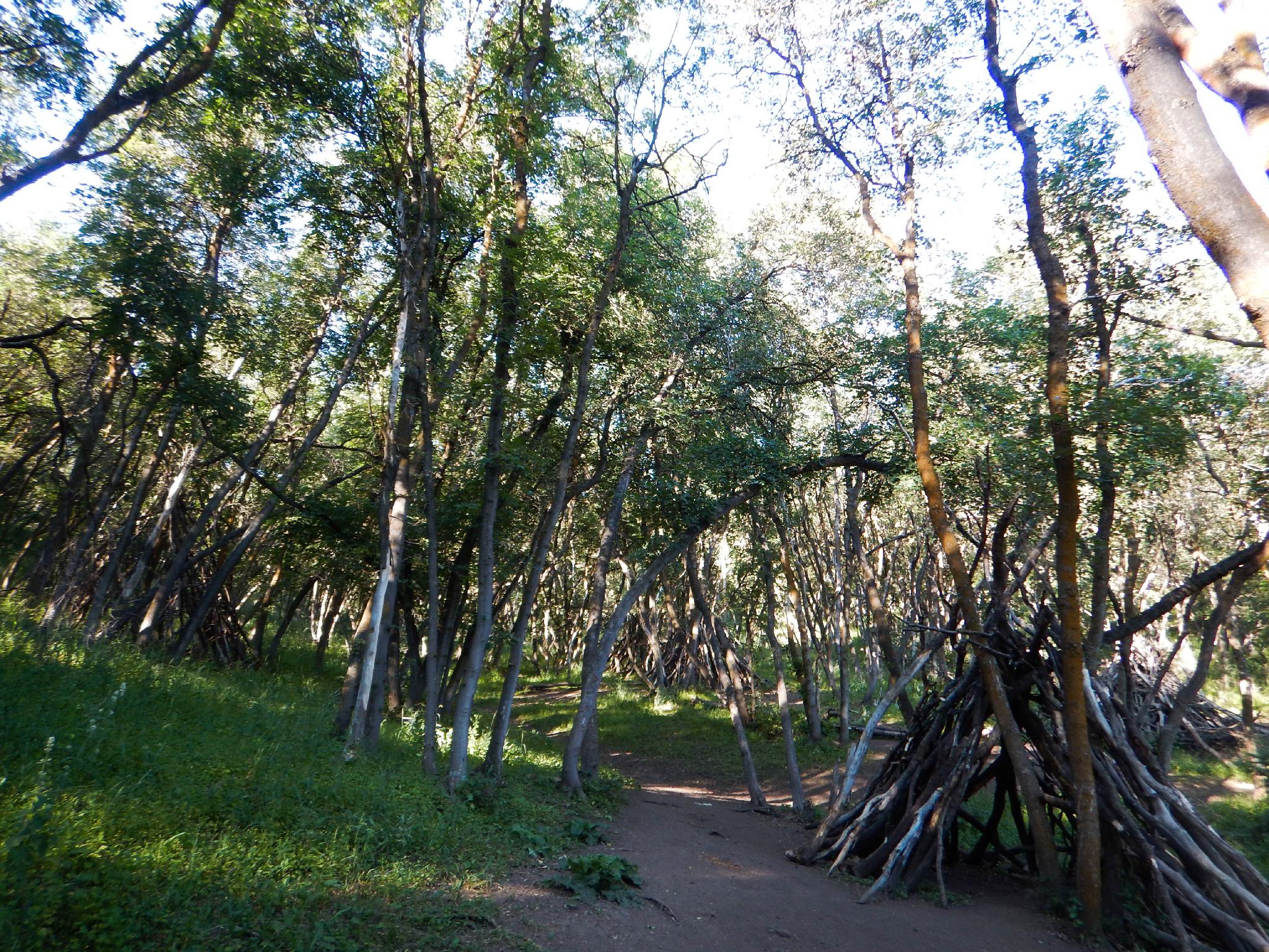
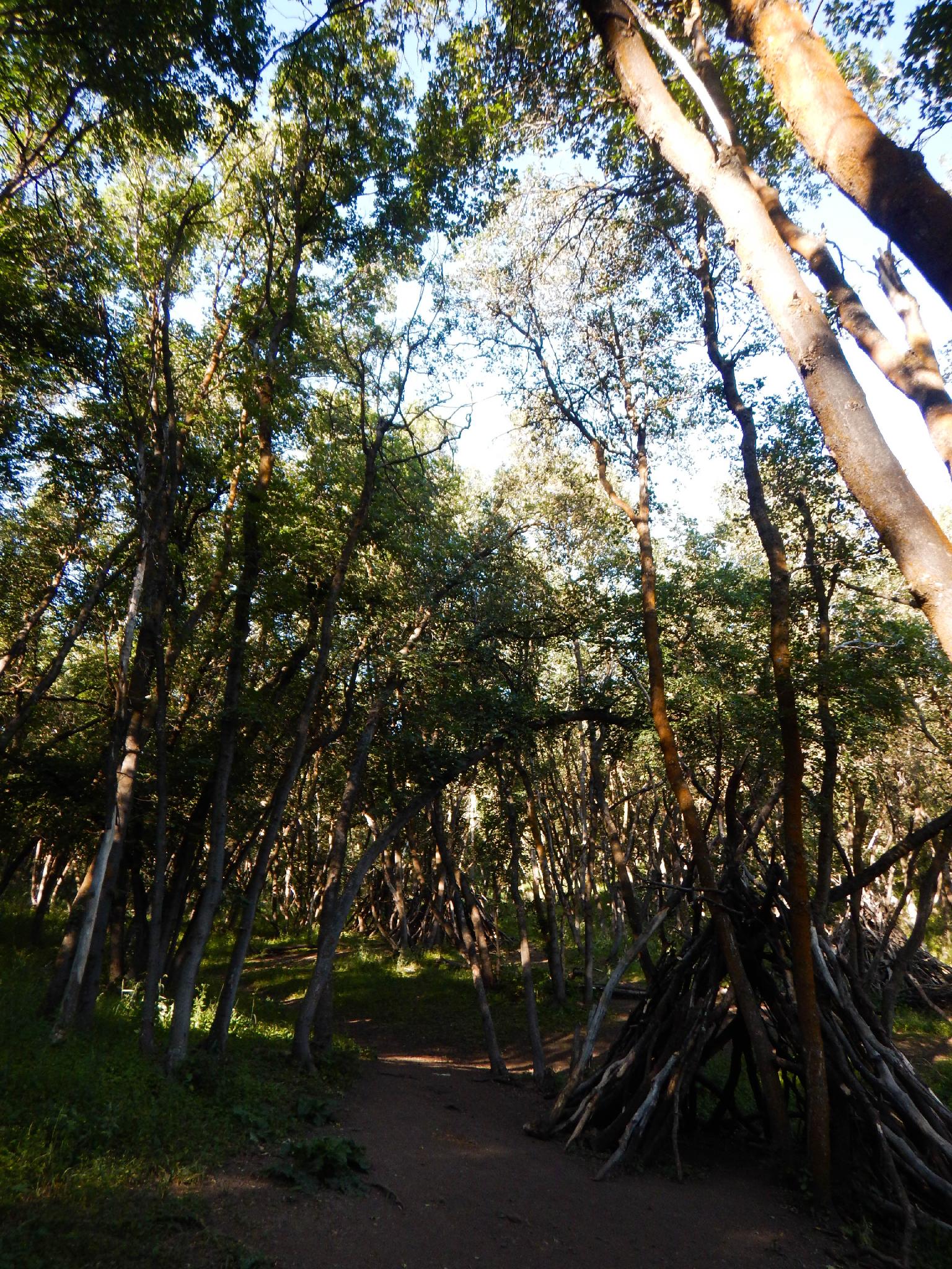
The trail takes off from the parking area just before the entrance to Mueller Park. Follow the trail as it crosses the bridge and begins a zig-zag course gaining elevation up the hillside. Near the top of the zig-zags, after 0.75 miles, an open area has a couple of crude log teepees. Catch your breath, from here the hike becomes less steep and more of a mellow amble.
The trail meanders in and out of side canyons. As it gets higher up the canyon a couple of small streams offer pleasant places to hang out if it is hot. Just before Big Rock the trail splits. Right cuts back and continues climbing. Go left, to a bench that overlooks Big Rock. This is a good turn around for most, but the steep loose trail down to the top of Big Rock is worth doing for the adventurous.
Return the same way.
Maps

12T 429484E 4523976N
40°51'50"N 111°50'12"W
12T 429486E 4523602N
40°51'38"N 111°50'12"W
12T 431140E 4522894N
40°51'15"N 111°49'01"W
12T 431154E 4522926N
40°51'16"N 111°49'00"W
12T 431144E 4522965N
40°51'17"N 111°49'01"W