 Hiking
Burch Hollow
Hiking
Burch Hollow
Millcreek Canyon
Overview
Burch Hollow, though it has an official forest trail up it, is seldom visited when compared to the many other trails in Millcreek Canyon. Burch Hollow itself is not particularly scenic or outstanding, though the views at the ridge that marks the end of the hike are quite good.
How do you make a 1 1/2-star hike into a 2 1/2 or 3-star hike? Well, make it a loop with a bit of ridge hiking of course! I would not recommend Burch Hollow on its own, but it does make a nice loop when going up Elbow Fork, crossing the ridge, and then using Burch as the descent route back to the car.
Getting There
Millcreek Canyon is on the east side of the Salt Lake Valley, just south of I-80 and Parleys Canyon. To get there, take I-215 South from I-80 and take exit 4 off of I-215 and go left (east) on 3900 South.
Turn left on Wasatch Blvd just after crossing under the highway, then the next right on Millcreek Canyon Road.
0.7 miles from the junction of Wasatch Blvd and Millcreek Canyon Road is the entrance to Millcreek Canyon and the pay booth. Mileage below is from the pay booth.
0.7 miles - Pipeline Trailhead on the left (north).
2.4 miles - Church Fork Trailhead on the left (north).
2.5 miles - Desolation on the right (south).
3.4 miles - Porter Fork on the right (south).
3.5 miles - Burch Hollow Trailhead (north).
3.7 miles - Terraces Picnic Area / Trailhead (south).
3.8 miles - Winter Gate Closure
5.2 miles - Elbow Fork Trailhead (Mount Aire)
Route Description
To the Pass (1.0 miles)
From the Elbow Fork trailhead, follow the trail north. It parallels the stream, quickly coming to the Lambs Canyon junction. Go left here, crossing a bridge and following the stream up. The stream dries up the farther up you get.
Near the pass, the trail enters a grove of aspen trees before cresting the ridge and offering the first big views.
Across the Ridge (1.4 miles)
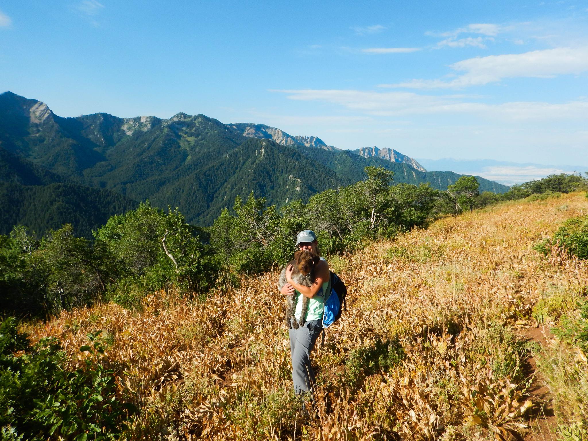
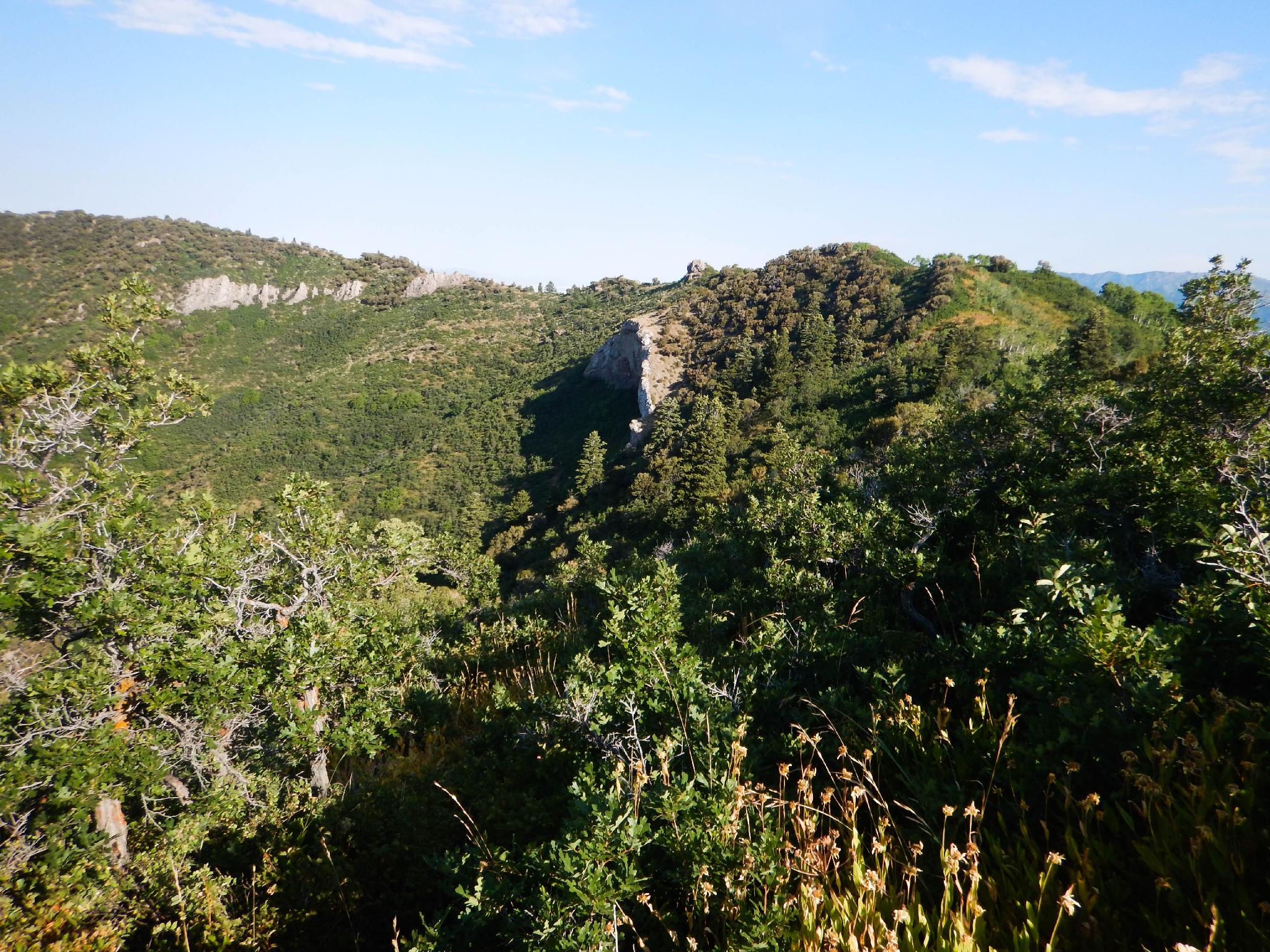
The fun begins! Go west, following any of several social trails to the ridge. From here, follow whatever trail strikes your fancy. A decently used trail comes and goes through a few overgrown sections. Stay within a short distance of or on the ridge proper.
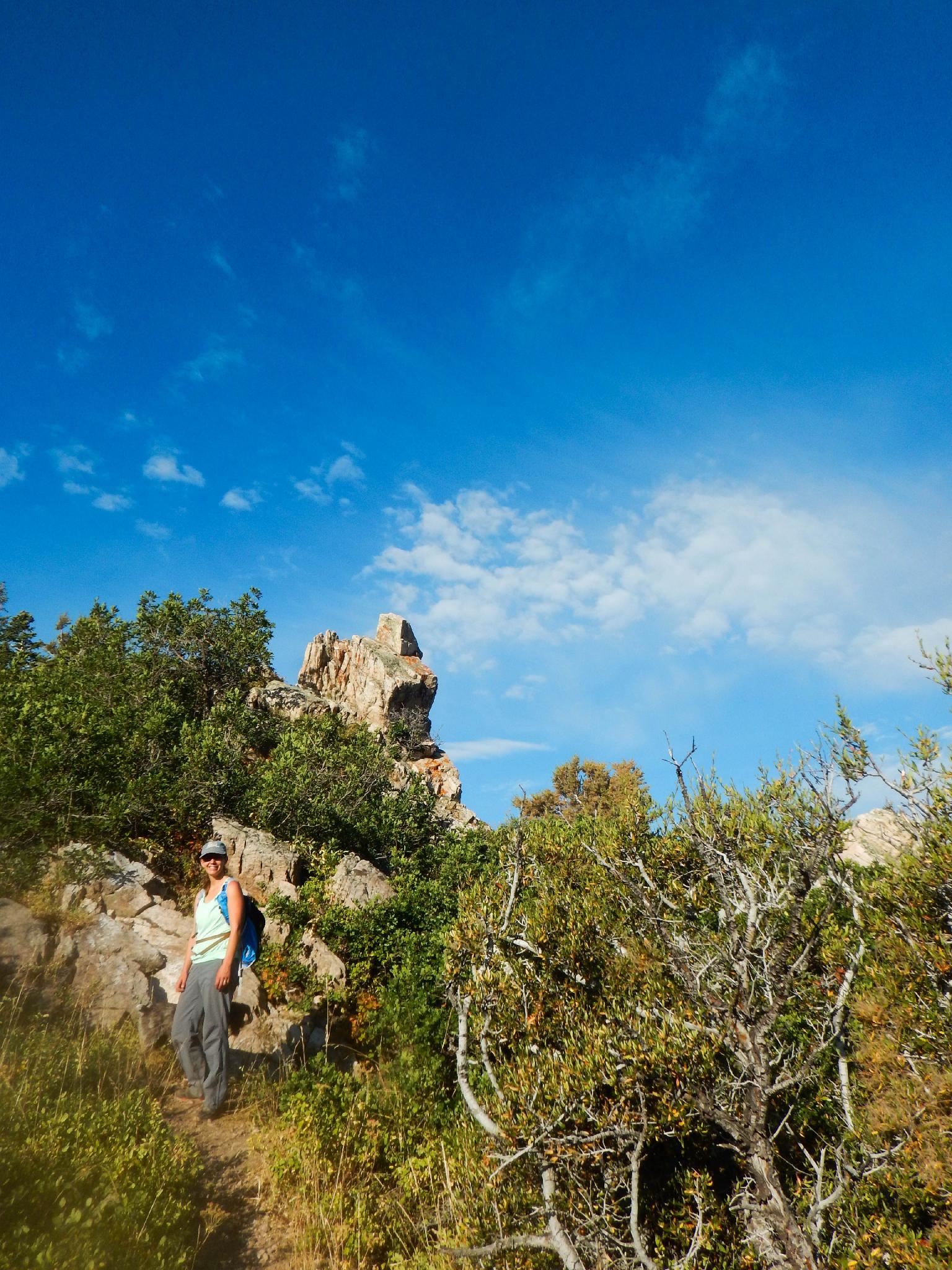
Views to the south of Gobblers Knob, Mount Raymond, Olympus, and the Salt Lake Valley are excellent through this section. Follow the ridge until it passes below a large rock outcropping. The Burch Hollow trail is at the low point a few minutes past the big rock.
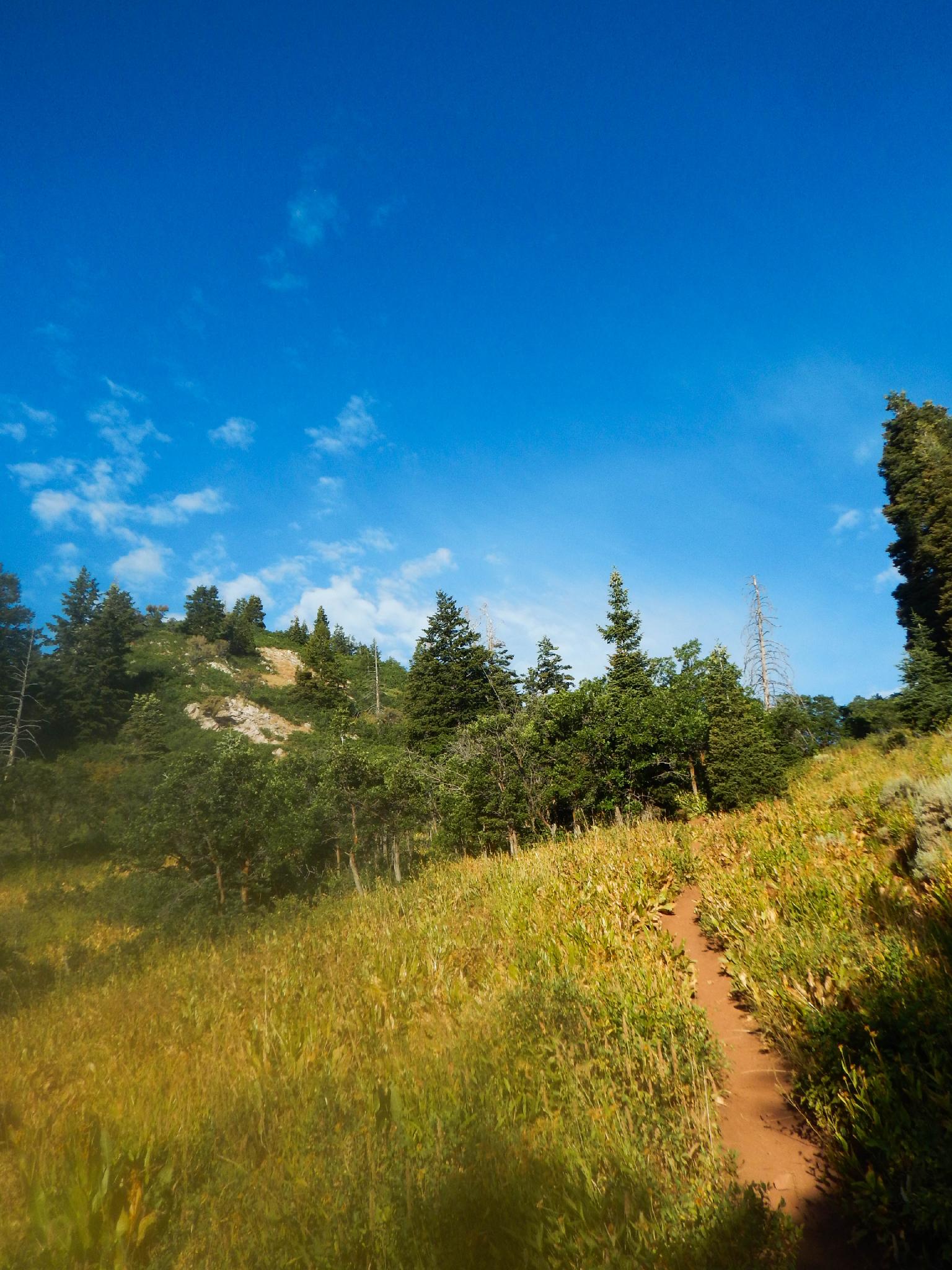
Down Burch Hollow (1.3 miles)
Enjoy the views from the pass, then begin the steep descent down Burch Hollow. The trail is easy to follow and steeply zig-zags down to its junction with the Pipeline Trail.
Back along the Pipeline (1.3 miles)
Turn left on the Pipeline Trail. It is a casual 35-45 minutes (1.3 miles) back to Elbow Fork and the trailhead.
Photos
Maps

12T 441702E 4506442N
40°42'25"N 111°41'24"W
12T 441736E 4506752N
40°42'35"N 111°41'23"W
12T 441757E 4506807N
40°42'36"N 111°41'22"W
12T 441035E 4507483N
40°42'58"N 111°41'53"W
12T 439673E 4507460N
40°42'57"N 111°42'51"W
12T 439939E 4505991N
40°42'10"N 111°42'39"W