 Roadside Attraction Bonneville Salt Flats
Wendover
Overview
|
Mon 48 | 33 |
Tue 41 | 32 |
Wed 43 | 30 |
Thu 42 | 23 |
Fri 42 | 21 |
| View Full Weather Details | ||||
|
Mon 48 | 33 |
Tue 41 | 32 |
Wed 43 | 30 |
Thu 42 | 23 |
Fri 42 | 21 |
| View Full Weather Details | ||||
World renowned as the place to set land speed records, Bonneville Salt Flats is a fascinating place to visit. Though many zoom by on I-80, I highly recommend making the short side trip to experience the salt flats up close.
The Bonneville Salt Flats encompass an area of 46 square miles. Due to evaporation of historic Lake Bonneville, the area became covered by a layer of salt. At its center, this layer of salt can be 5 feet thick! It truly is a salt flat, with the surface being about 90% common table salt.
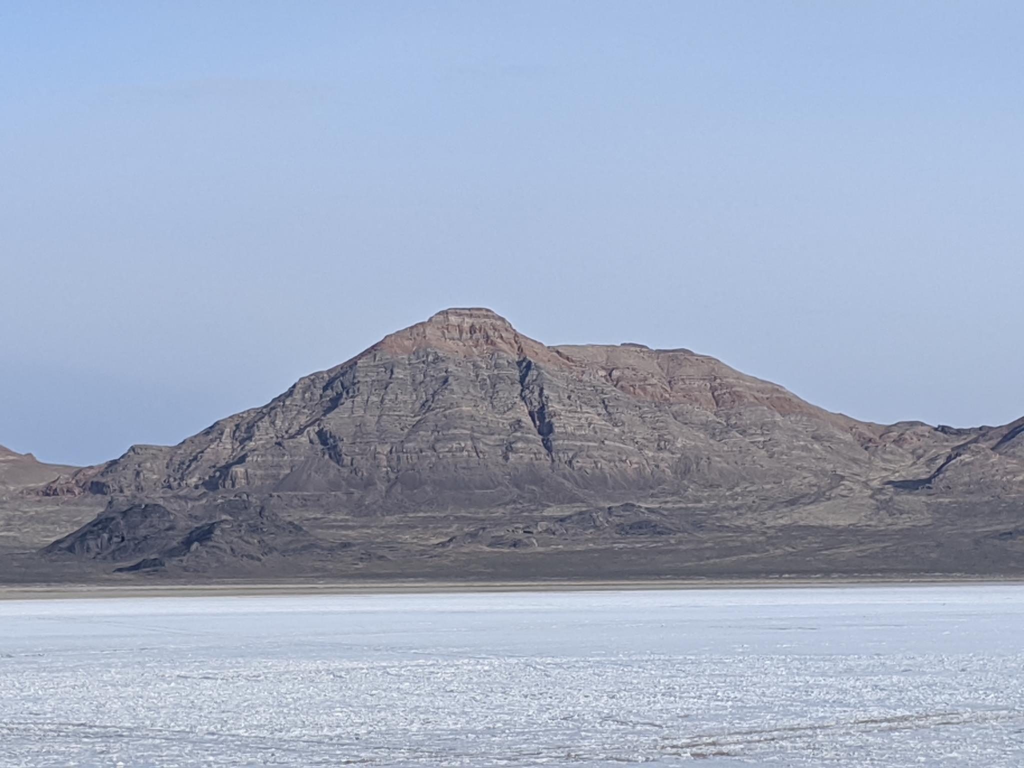
The salt flats are named after Benjamin Bonneville, who visited the area in the 1830s as an army officer. In 1907 Bill Rishel drove a Pierce-Arrow car onto the salt flats to see if the surface was suitable for cars. His test was successful and began interest in using the salt flats for land speed records. The first record set on the flats was by Teddy Tetzlaff in 1914 at 142mph. Rishel and Tetzlaff are, not coincidently, also peaks in the Silver Island Range to the west named in honor of the salt flat pioneers. The salt flats have become a place for drivers to test their equipment, skills, and hopefully set a record.
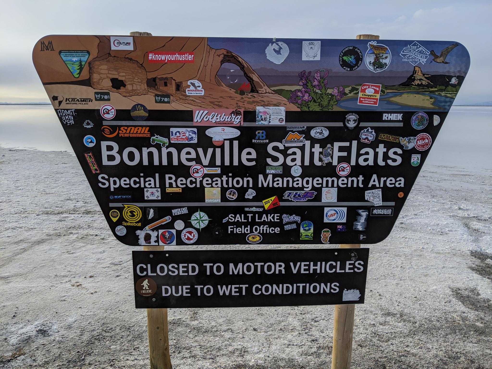
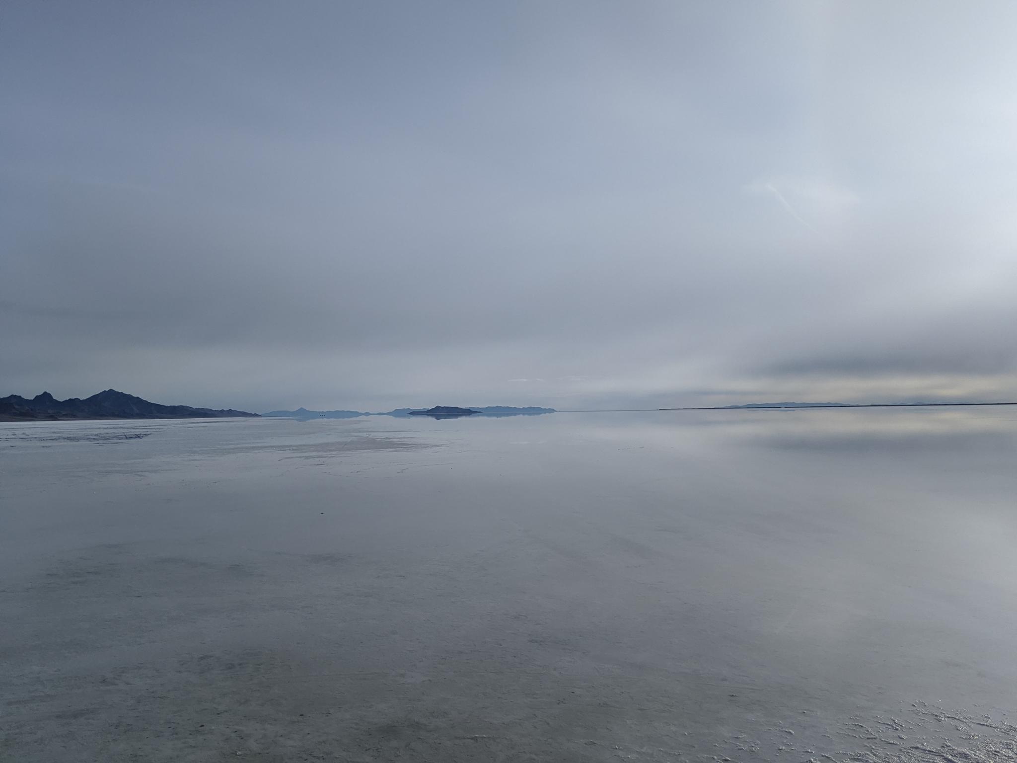
Though known for land speed records, the salt flats are only suitable for racing during dry times of the year. Particularly in winter and spring (or after heavy rains), the salt crust is too wet and soft to support vehicles. Visiting in the winter or spring can be a bit of a surreal experience. The salt flats are often under a layer of water and have a stunning reflective appearance.
Getting There
The Bonneville Salt Flats are just east of Wendover, UT. From Wendover, travel east on I-80 about 2 miles to exit 4, It is signed Bonneville Speedway. Once off the freeway, go north. 1.5 miles from the freeway is a Y-junction. Go right here, and continue to the roads end about 3.9 miles from the Y-jct.
Route
The road ends at a turn out surrounded by the salt flats. This is a great spot to have a picnic and wander the salt flats.
Maps
| Bonneville Speedway |
12T 255552E 4516437N 40°45'45"N 113°53'46"W |


