
 Whistlers Peak and Indian Ridge
Jasper Canada
Overview
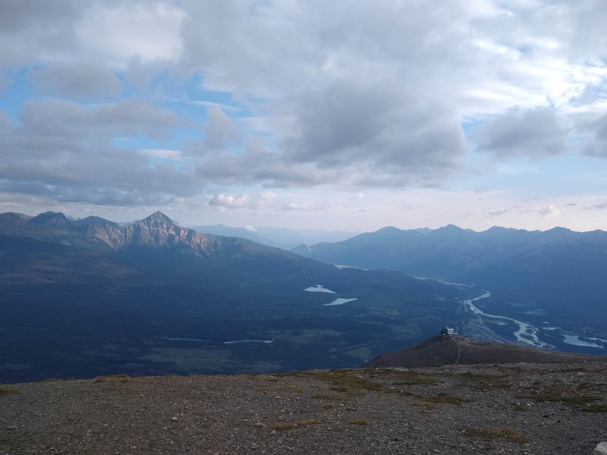
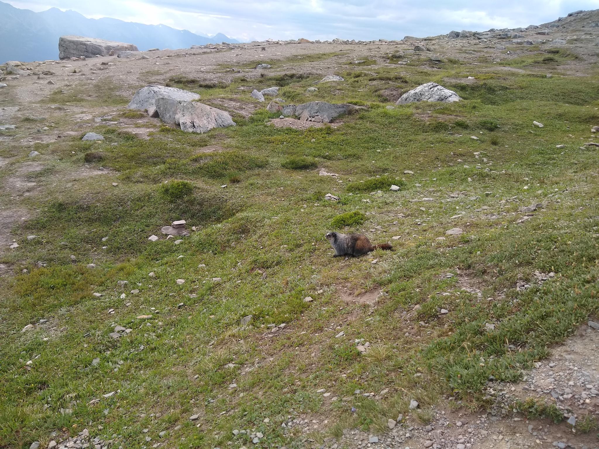
Whistlers Peak is one of the iconic peaks surrounding Jasper. Named for the Hoary Marmots that make whistling sounds, the mountain is one of the most accessible in the area. For those not wanting to hike, a tram goes to near the summit and offers excellent views of Jasper and surrounding mountains ranges.
Those with a bit of motivation can continue up from the tram to visit the summit, taking in even more spectacular views from its lofty heights.
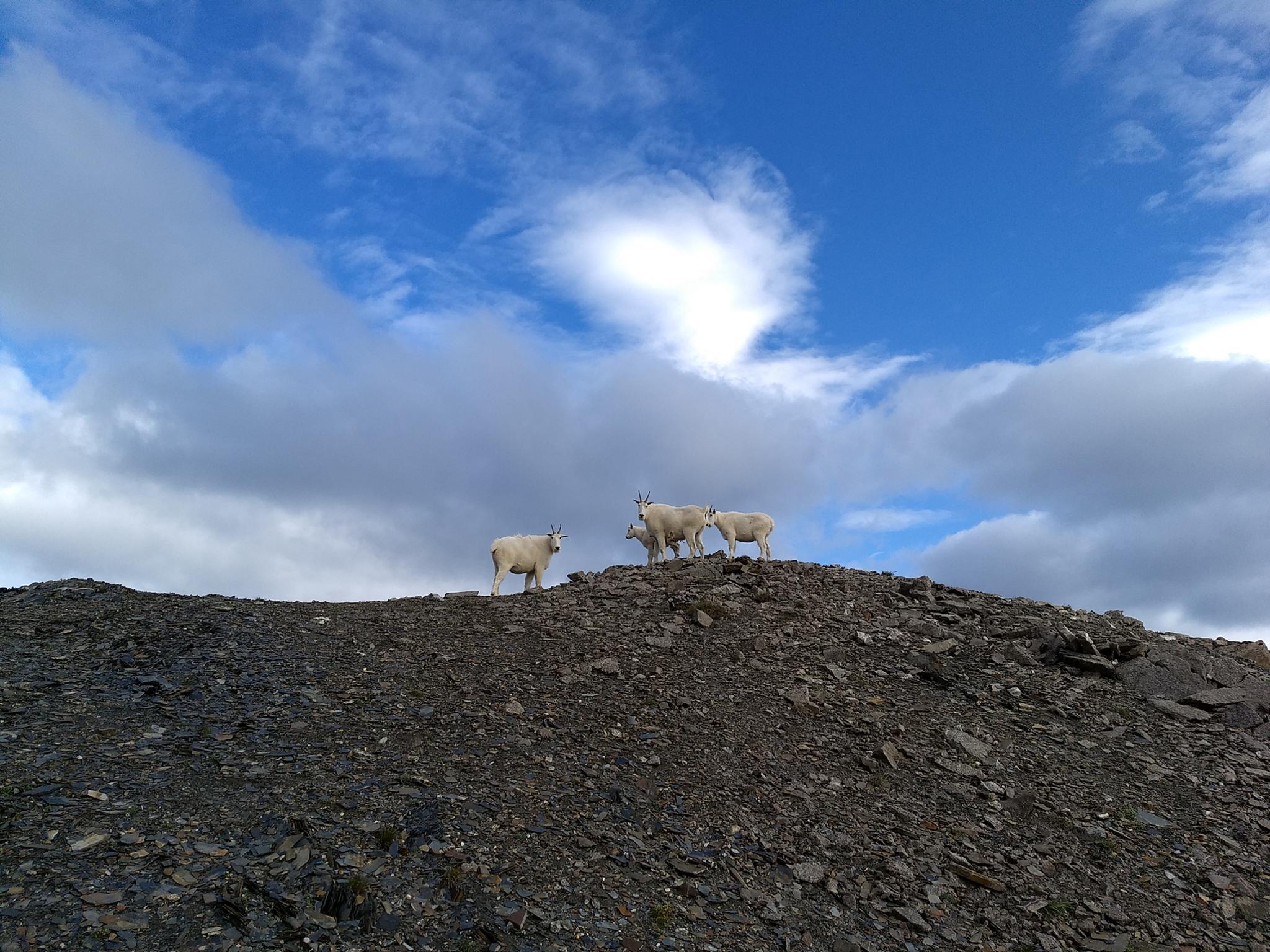
Even more motivated? Indian Ridge, a short distance from Whistler, is less frequently visited and makes for a great adventure with a bit of off-the-beaten-path feel to it. The full hike to Indian Ridge was one of my favorite hikes in the Jasper area. It is very straightforward, though there is a bit of scrambling in the last section to the summit on loose rock. Experienced peak baggers only! If you are lucky, as I was, you may see mountain goats near the summit.
Getting There
From Jasper, head south on AB-93. About 2 km from Jasper, the Whistlers Tram is signed on the right. Turn right and follow this road about 4 km to its end at the base of the tram.
Route Description
Whistlers Peak
From the top of the tram, the path to Whistlers Peak is obvious, and likely to have a line of people en route unless you happen to be the first group up in the morning. The hike up has several side trail viewpoints that make for excellent pictures.
Indian Ridge
Continuing to Indian Ridge? From the summit of Whistlers, keep on the trail heading east. Indian Ridge is the prominent big ridge to the south. A path is visible heading down to the valley below and up the other side. The path is a bit hard to find from the ridge, though, use your best guess. Once on the trail, it is well defined and easy to follow.
The trail descends to the shallow valley, then begins climbing Indian Ridge. The path up Indian Ridge is well used, and generally easy to follow. Pay attention, though, as it can be a little tricky in spots to find the trail on the way down.
As the trail gains in elevation, the views into Whistlers Creek to the east are really good. Less than a hundred meters from the top, the trail branches and becomes less defined. Use your best judgment here, and caution, this section has some loose rock. With careful route finding, nothing is particularly exposed.
From the summit, return the same way.
Photos
Maps

11U 424306E 5856263N
52°51'03"N 118°07'27"W
11U 424127E 5854606N
52°50'09"N 118°07'35"W
11U 423665E 5853638N
52°49'38"N 118°07'59"W