 Hiking
Dale BM and Perkins Peak
Hiking
Dale BM and Perkins Peak
Emigration Canyon
Overview
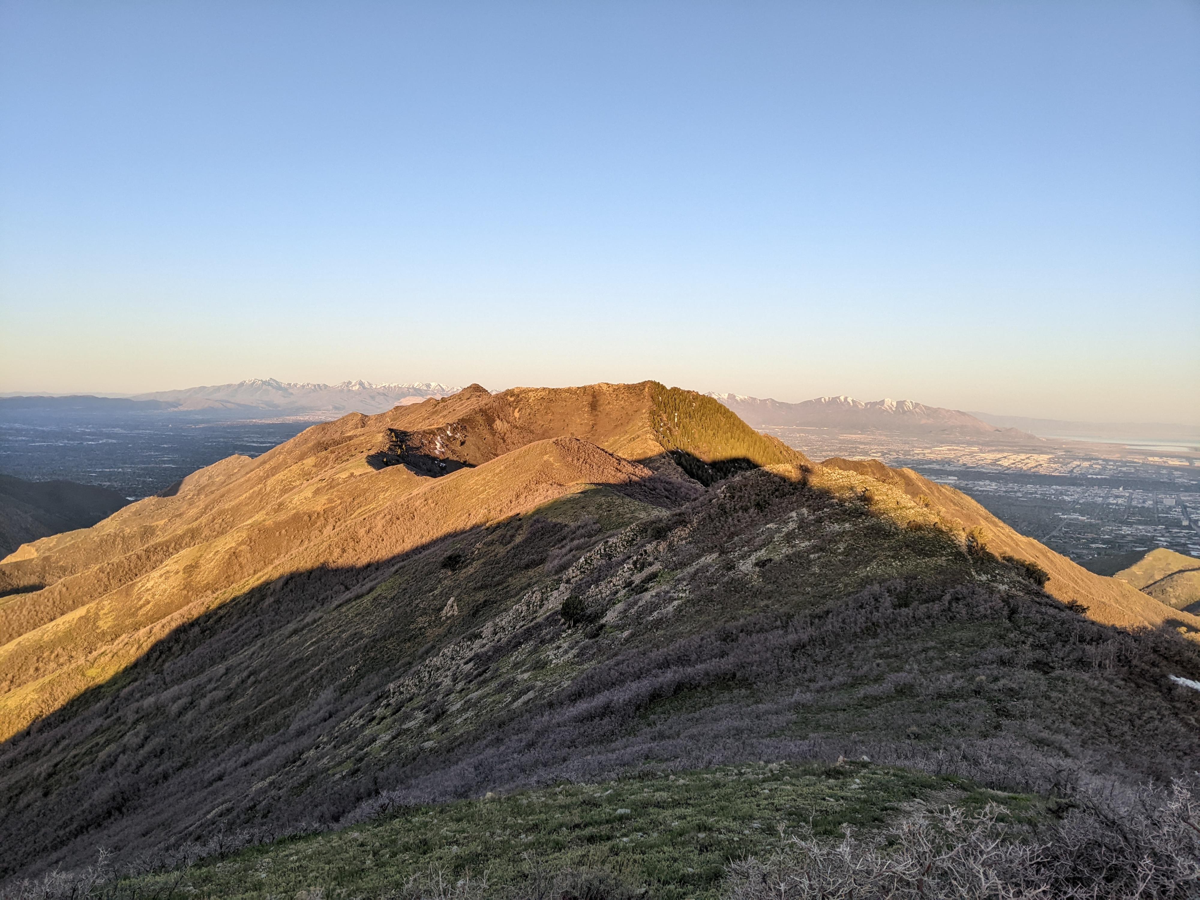
The foothills and ridges around Salt Lake are my favorite places to hike in the early spring when the higher mountains are covered in snow. This hike, along the ridge separating Parleys and Emigration Canyon, is one of those nice ambles with big views, easy hiking, and spring flowers. This also makes a good fall hike, when leaves are changing and the hillsides are awash in color.
Dale Benchmark, the first major high-point on the ridge, is an excellent out and back for those wanting a shorter half day outing and clocks in at about 5.5 miles and 1700’ of elevation gain.
Those wanting more adventure can continue out to Perkins Peak and overlook directly down into the Salt Lake Valley. This is about 8.5-9 miles depending on which peaks are visited and another 1000’ of gain. It feels like a workout!
Getting There
From Salt Lake City, travel east about 6 miles on I-80 to exit 134 (East Canyon / Little Dell). From exit 134, travel north on UT-65 for 2.4 miles. Turn left here, toward Emigration Canyon, and follow it 1.5 miles to the pass.
There is a large parking area, toilet, and informational sign on the south side of the road. This is the trailhead.
Route Description
Dale Benchmark (2.75 miles one way)
From the trailhead, cross behind the gate, and follow the road as it winds up around utility buildings. The road soon turns to a two-track dirt road, drops slightly, then makes its first big climb.
Continue along the main two-track. There are a couple of side roads that have mostly overgrown. The two-track ambles along near the ridge with big views. Dale Benchmark is the highest peak visible along the way. As you approach the base of the peak, the two-track becomes a well traveled single track and steepens.
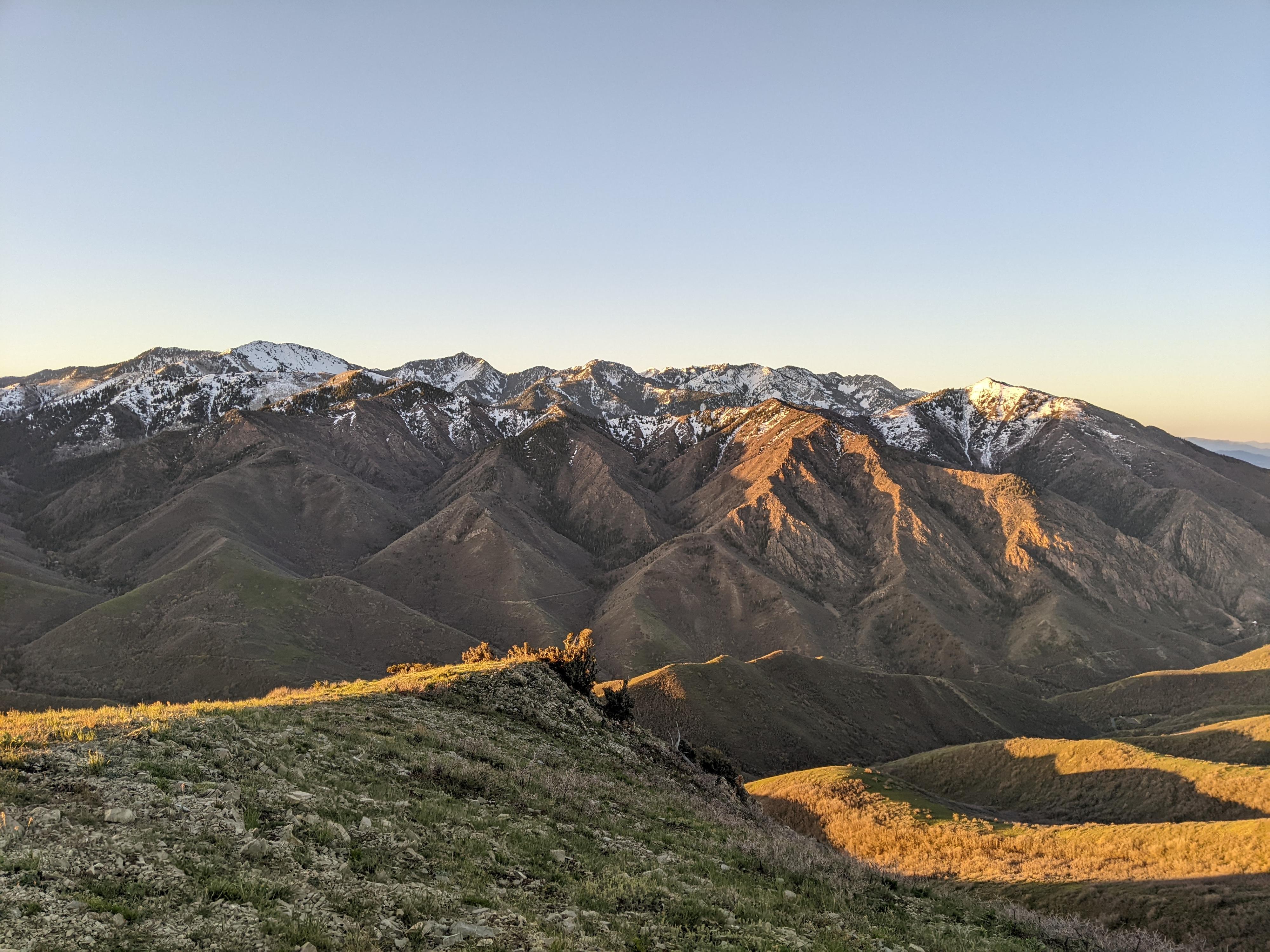
The final climbs up Dale Benchmark is quite steep, but fairly short-lived. The views from Dale are excellent, with Parleys Canyon to the south and the jagged ridgelines of Mill Creek Canyon and beyond. This is the turnaround for many groups.
Perkins Peak (1.5-2 miles one way)
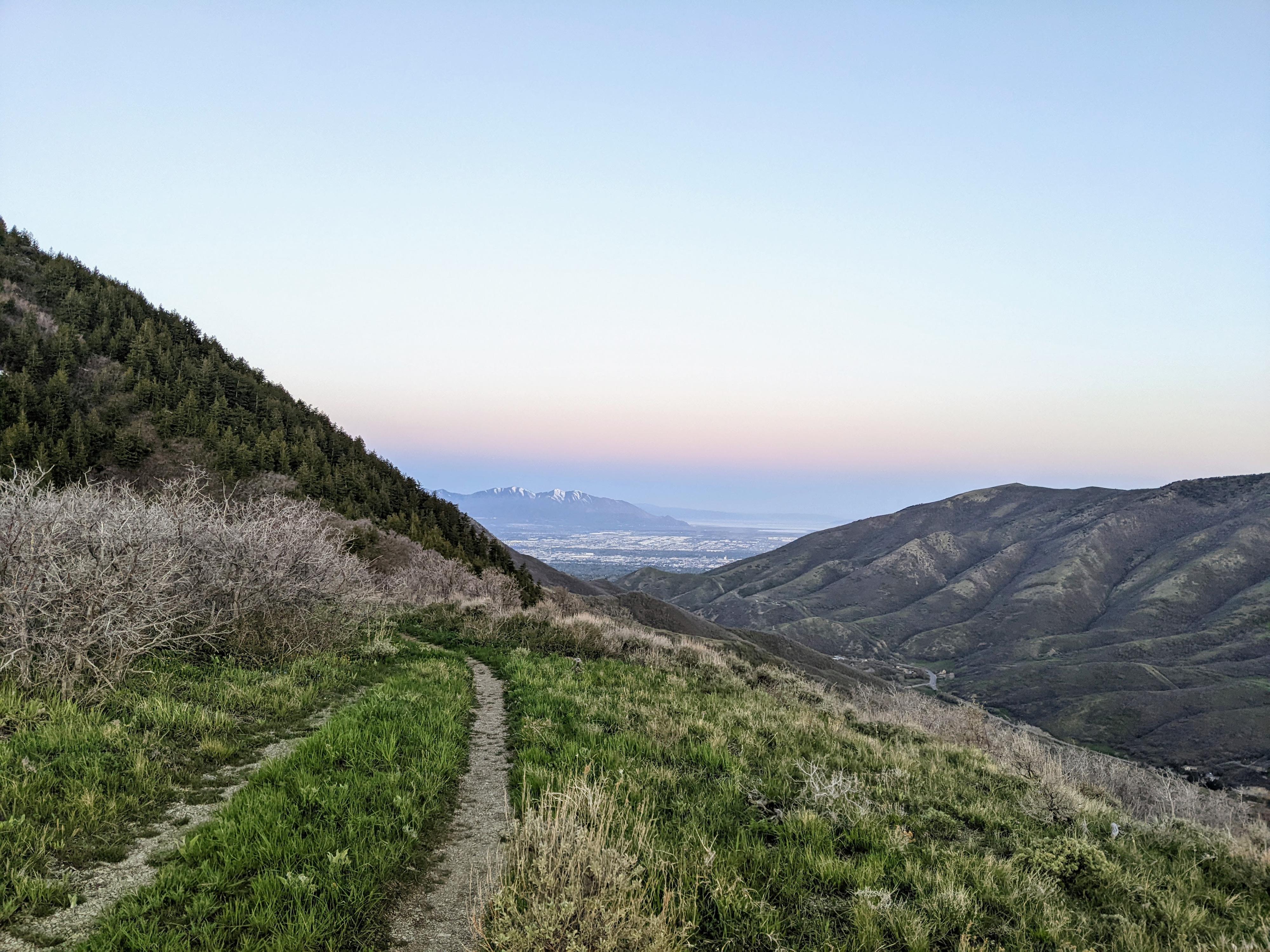
Those wanting a fuller day can keep the adventure going! From Dale BM, continue along the ridgeline. The trail is not quite as well travelled here, but still easy to find and follow. Perkins is visible from Dale BM, and though it looks a fair distance away, the hiking goes fairly quickly.
Follow the social trail along the ridge. It is easy until it reaches the steep ridge south west of Perkins Hollow. Here the trail gets steep, and a bit overgrown. Once up the steep section to the ridge, the route splits.
The North Peak
To the north, about a quarter of a mile, is the highest point above Perkins Hollow. Some refer to this as Perkins Hollow, some refer to the slightly lower peak west of this junction as Perkins Peak. Reaching the peak to the north follows the rocky ridge. A social trail zig-zags along this ridge. A bit of minor route finding is needed, but with good judgment, there is never exposure or hard climbing. If in doubt, just drop off the ridge on either side slightly for easier terrain. The high-point has splendid views, but no summit register I could find.
West Summit
Some refer to the slightly lower peak to the west of the junction as Perkins Peak. I assumed while I was there, I should do both. To do the west summit, follow the social/game trail. It meanders down a bit on the east side of the ridge. Once directly below, or just past the high-point, work up to it. The last 80 vertical from the game/social trail to the summit is a challenging bushwhack. Game trails help in a spot or two, but it isn’t terribly fun. All-in-all, I would recommend bagging the north peak and not bothering with this one. The north peak is far more aesthetic and enjoyable.
Return the same way.
Photos
Maps

12T 439383E 4513987N
40°46'29"N 111°43'06"W
12T 436608E 4511878N
40°45'20"N 111°45'04"W
12T 434977E 4510694N
40°44'41"N 111°46'13"W
12T 434914E 4511054N
40°44'52"N 111°46'15"W
12T 434714E 4510464N
40°44'33"N 111°46'24"W