 Floating
Tubing the Weber River
Floating
Tubing the Weber River
Wasatch Back
Overview
Summer heat got you down along the Wasatch Front? This is THE premiere way to get out of the heat and have some fun. Having seen many people tube the river, it wasn't until 2012 that I finally gave it a go on a scorching 100-degree day. It is amazing, and a ton of fun. There are enough rapids and obstacles to keep you engaged, but nothing overly dangerous.
This is NOT a route I would recommend for children. The first section, in particular, has many rocks, branches, and rapids that require a fair bit of attention. The inattentive could easily puncture a tube (best case) or be slammed into a rock and injured (worst case). It makes a great outing for teenagers and up.
Getting There
Put-in
The put-in is at exit 112 (Henefer) on highway 84. This is about 30 miles east of Ogden. At the exit, go to the north side of the highway, and follow the road as it bends east. There is a small put-in just off the highway, but follow the road less than a half-mile to a large pullout that is the standard put-in parking area.
Takeout
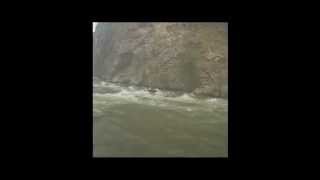
The standard takeout is exit 108 (Taggart). Pull off here, and park anywhere you can find a spot near the river. A rapid just upstream from the takeout offers a great photo op and opportunity to see what you're getting into!
Route Description
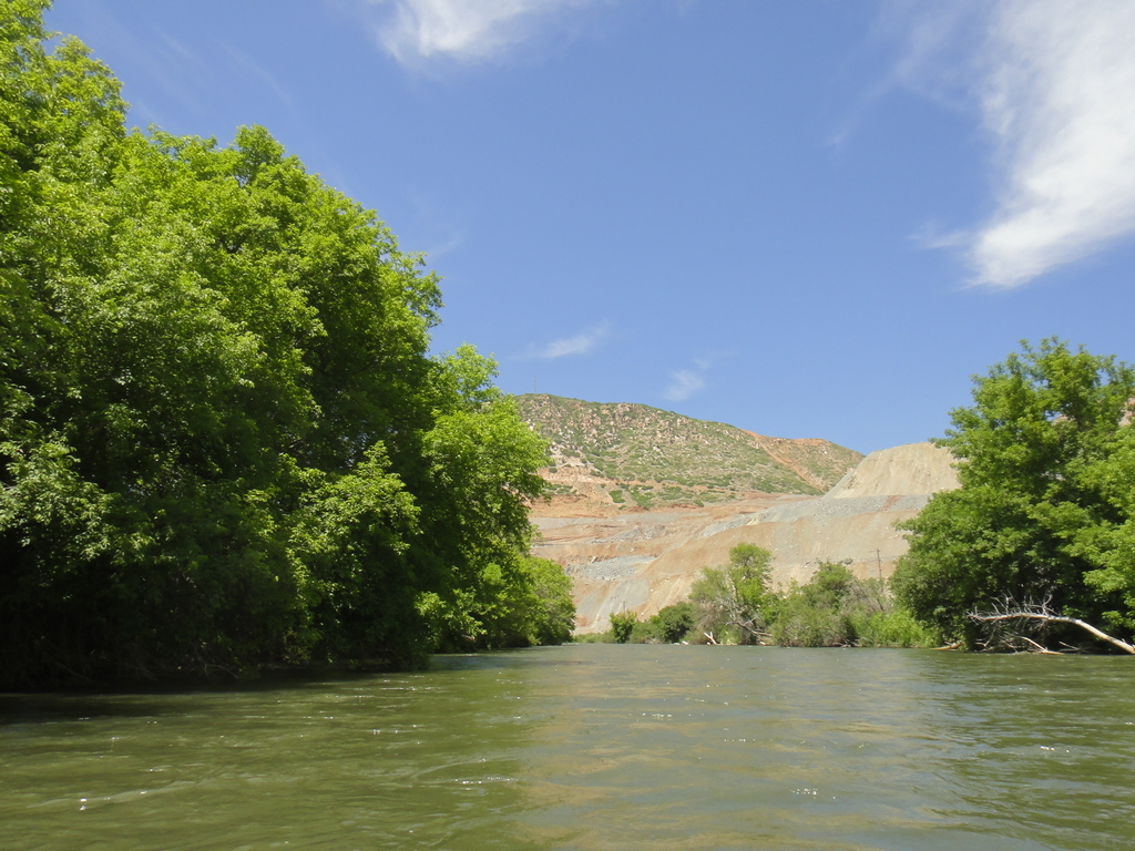
From the 108 exit put-in, things get going quickly, with a large number of boulders to work around, as well as logs and branches to avoid. This part is fun and a little intimidating. Shortly, though, the river bends and passes through Croydon.
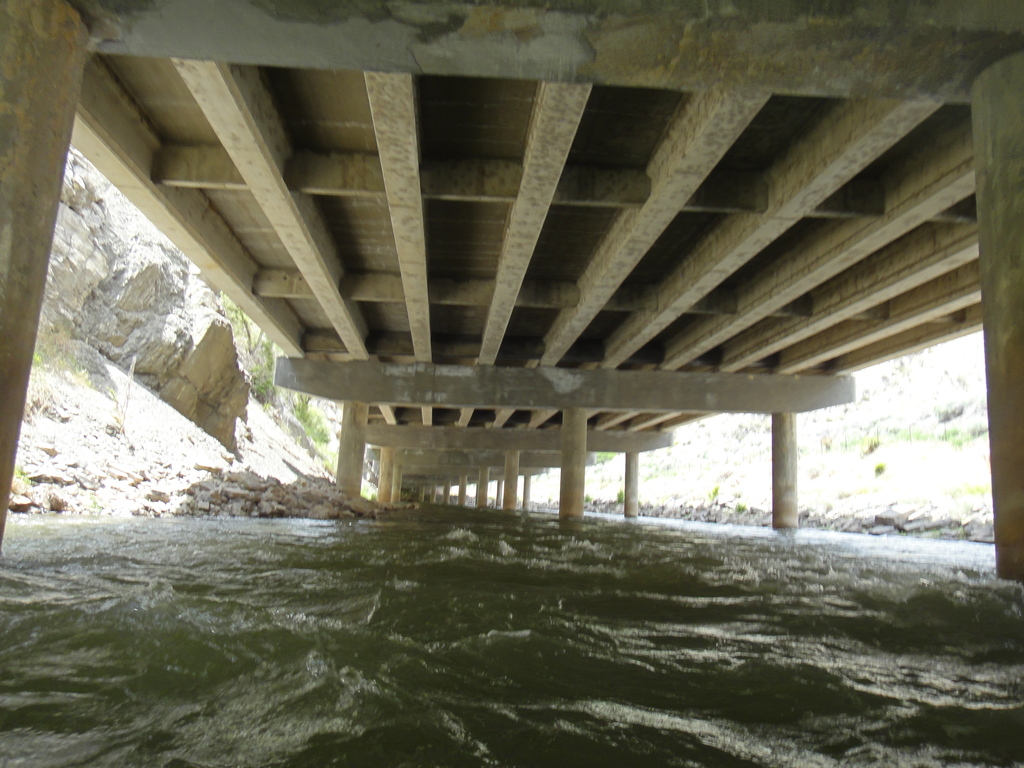
Pass under a railroad bridge, then veer to the right side of the river. The highway bridge in Croydon is very low! Cement rubble blocks the left passage, and the middle passage has a pipe hanging down. The right one is (as of 2012) clear and the best passage. Once under the bridge, a large gravel pit is visible on the right, and the river mellows. There are still rapids to come, but they seem a bit more mellow than the upper section.
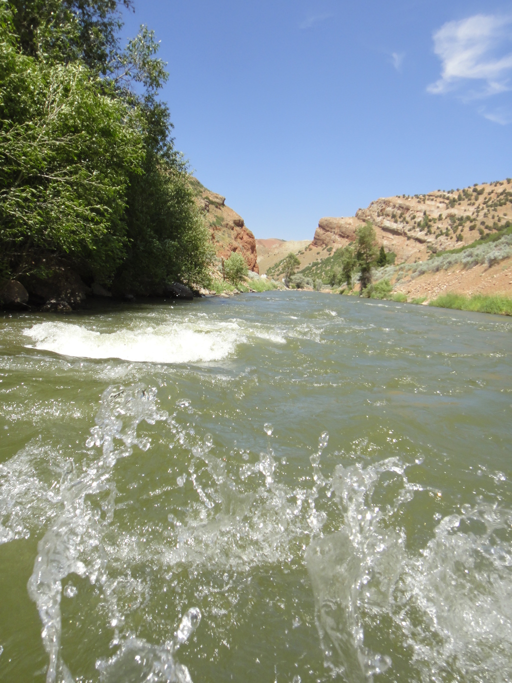
The river passes under the highway, with Devils Slide up close on the left. Next up, you'll likely notice a rope swing just after a rapid. This is a bit over 1/2 way, and a common break point.
The river heads back toward the freeway. Instead of crossing under it, however, it goes under it downstream is a long bridge/tunnel. As of 2012, stay toward the left at the end of this section to avoid a bunch of snags and trees.
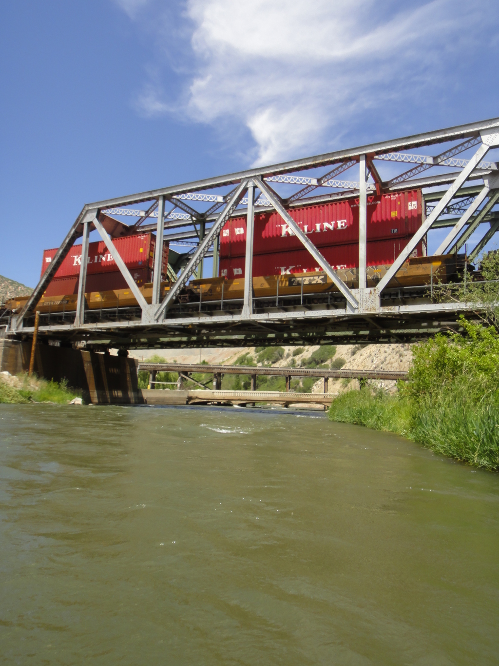
The river mellows as it meanders down, crossing under the railroad one more time before the grand finale, the big rapid just before the takeout. Fun! Takeout is easy to spot on the bend on the right.
Photos
Videos
Maps


12T 456360E 4543589N
41°02'32"N 111°31'09"W
12T 454683E 4545587N
41°03'37"N 111°32'22"W
12T 453977E 4545961N
41°03'49"N 111°32'52"W
12T 450303E 4545363N
41°03'29"N 111°35'29"W