 Hiking
Grandeur Peak
Hiking
Grandeur Peak
Millcreek Canyon
Overview
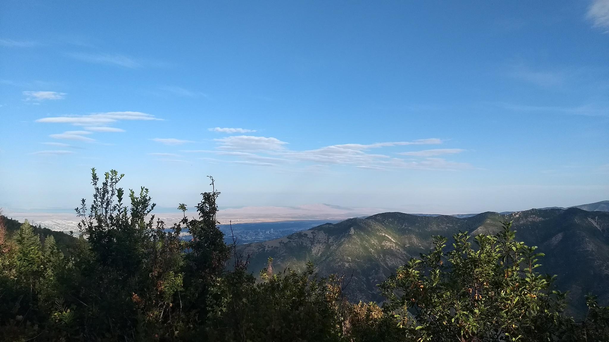
One the more popular hikes in Millcreek Canyon, this is a fun dog-friendly hike with excellent views. The hike is steep, gaining about 2600 feet in 2.75 miles, definitely a workout, but the switchbacks and scenery make it seem easier. The summit, with its views of the Salt Lake Valley? Excellent!
Most of the hike is south facing, making it one of my favorite choices for an early season peak. By late spring, wildflowers dot the hillside and can be quite good. Summers are hot. If hiking in the summer, get as early of a start as possible. The upper 1/2 or 2/3 of the hike are unshaded and can be unbearably hot. Finally, fall brings foliage and cooler temps and an excellent time for hiking before winter sets in.
Getting There
Millcreek Canyon is on the east side of the Salt Lake Valley, just south of I-80 and Parleys Canyon. To get there, take I-215 South from I-80 and take exit 4 off of I-215 and go left (east) on 3900 South.
Turn left on Wasatch Blvd just after crossing under the highway, then the next right on Millcreek Canyon Road.
0.7 miles from the junction of Wasatch Blvd and Millcreek Canyon Road is the entrance to Millcreek Canyon and the pay booth. Mileage below is from the pay booth.
0.7 miles - Pipeline Trailhead on the left (north).
2.4 miles - Church Fork Trailhead on the left (north). The trailhead is up the Church Fork road at the end of the road.
Route Description
From the Church Fork Picnic area, follow the paved road to its end at a small parking area. This is the trailhead proper.
Follow the main trail up, it crosses the stream and ascends to meet the Pipeline Trail shortly (10 or so minutes). The Pipeline Trail marks a 4-way junction. Go straight here on the trail that meanders up along the stream. The next section is shady and has easy access to the stream for dogs to get water.
As the trail nears the steeper hillside, it makes a hard left and begins switchbacking up to the ridge. This is the last water on the hike, so make sure to give to dogs a chance to drink up.
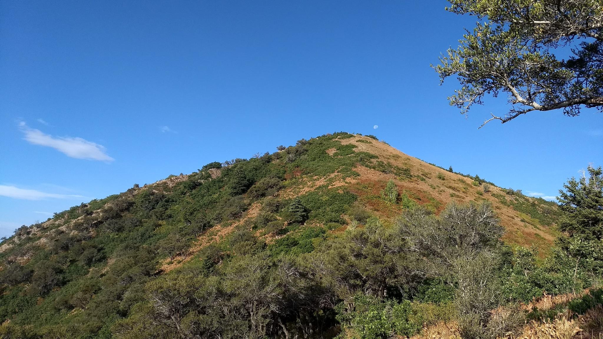
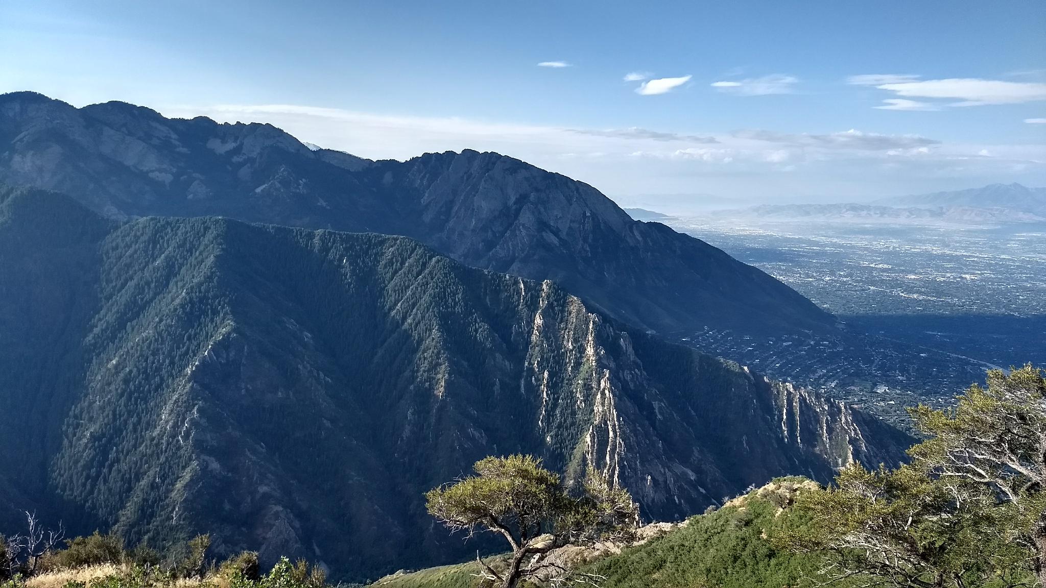
Switchbacking up to the ridge offers big views of Millcreek and Big Cottonwood Canyons. At the ridge, you can look over into Parleys Canyon and views of the Salt Lake City Valley. The ridge marks a good spot to catch your breath. Though Grandeur Peak looks close to the west, it is still about 700 feet of elevation gain from here.
The trail follows the ridge, up and around a smaller sub-summit before a final short traverse up to the summit proper and its amazing views. Return the same way.
Photos
Maps

12T 437216E 4505900N
40°42'06"N 111°44'35"W
12T 435819E 4506521N
40°42'26"N 111°45'35"W
12T 437270E 4505784N
40°42'02"N 111°44'33"W