 Hiking
Jack's Mailbox Peak
Hiking
Jack's Mailbox Peak
Salt Lake City
Overview
Jack Edwards was just a toddler when he died of leukemia in 1995,. His parents spread his ashes on a peak in the foothills above Salt Lake City. This peak has become known as Jack's Mountain, and a memorial with two mailboxes has been set up near the top of the small peak. The mailboxes contain several journals with the simple instructions:
"Please take a moment to say hello to Jackie Jack and write a little (or long) note."
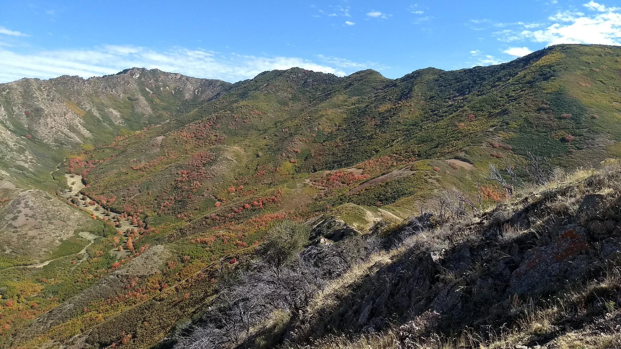
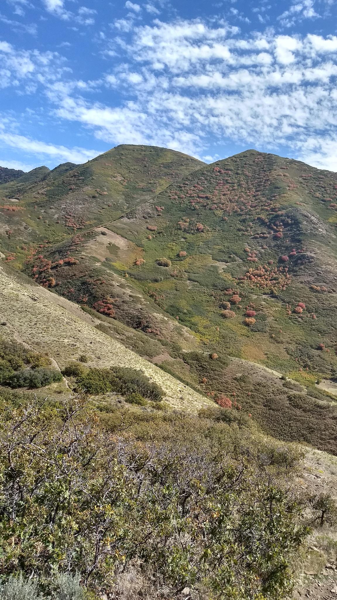
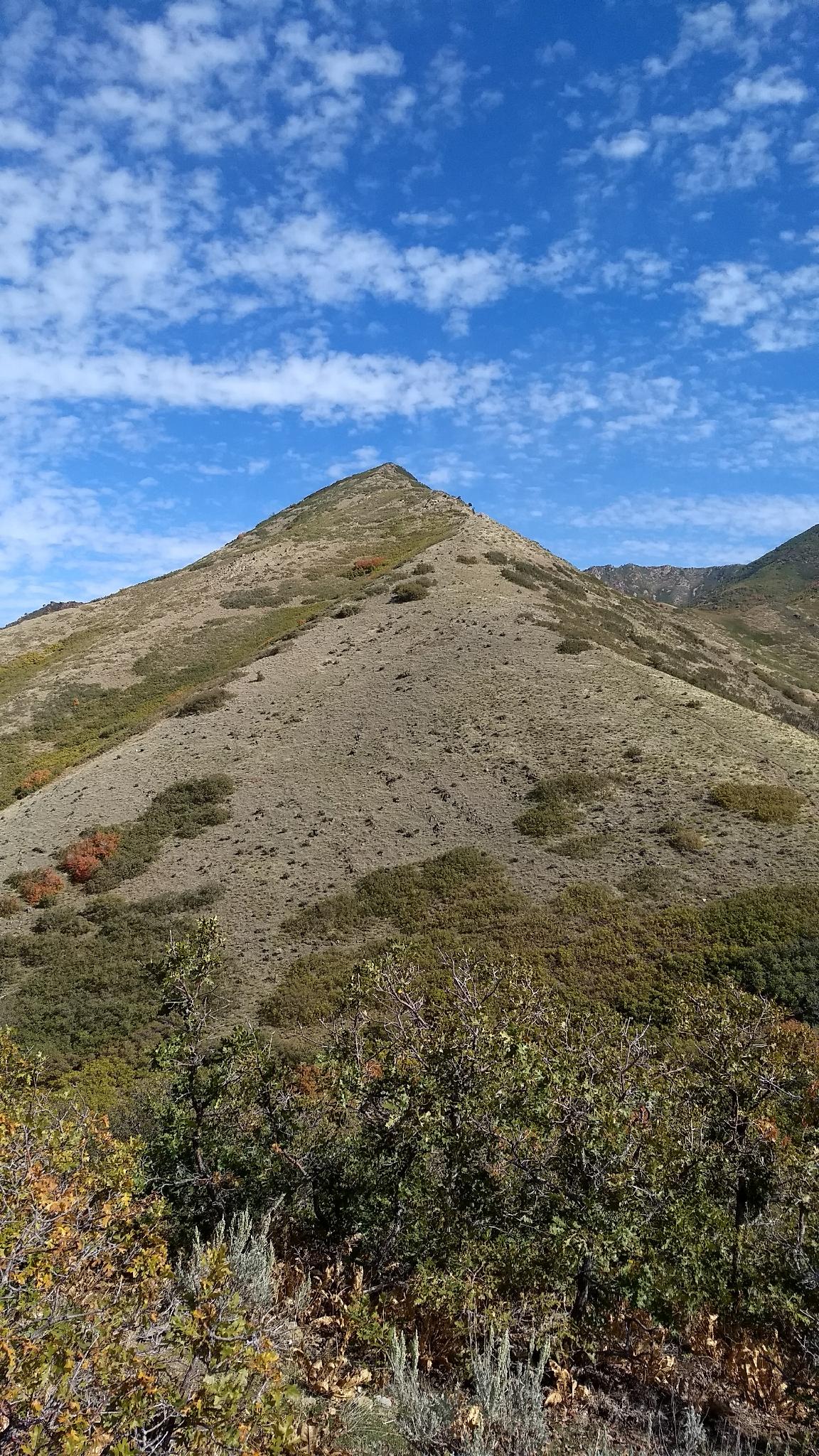
This is an excellent hike just minutes from downtown Salt Lake. Views of the valley en route and the touching memorial make for a popular outing. The hike is steep, expect a couple of hours round trip and a fair bit of huffing and puffing! Fall is my favorite time to hike the peak, when fall colors dot the surrounding foothills.
Getting There
The trailhead is on the east side of Salt Lake City, just north of I-80/Parley's Canyon.
Start by getting to Foothill Drive, and heading to the intersection of Foothill Drive and 2100 S.
Go east, toward the foothills on 2100 S. It bends to the south and becomes Hyland Hills Road. When this hits a T-Junction, go left to the end of the road and signed trailhead.
Route Description
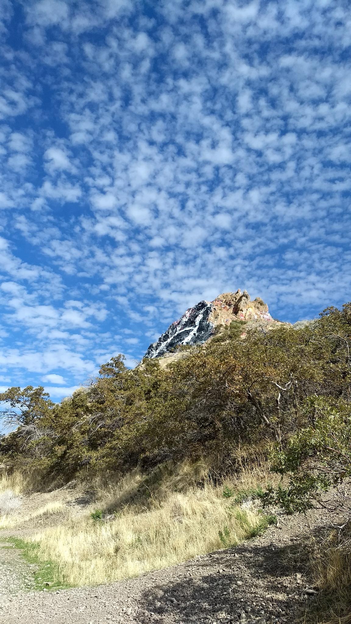
From the trailhead, follow the flat trail as it contours north. This is clearly an old road. It passes by an old gate post before coming under the painted "H" Rock. Climb any one of a couple of steep trails just before the"H" Rock to end up on top of the rock.
At the top of "H" Rock, follow the most well-used trail that meanders northeast on mostly flat terrain for a few minutes. A junction is reached where the right fork angles steeply to the ridge. Take this fork, ascending to the ridge.
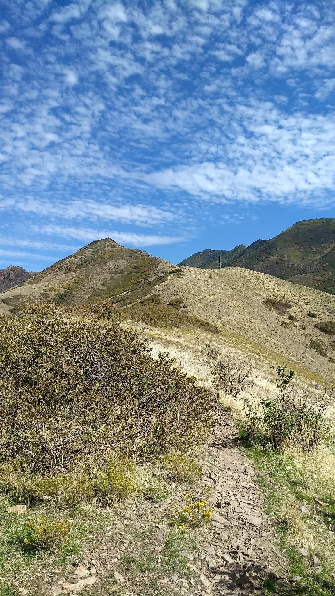
Once on the ridge, follow the social trail as it works its way steeply up along the ridgeline. At a communications tower, the trail descends briefly before the final long ridge to the summit of Jack's Mountain. The mailboxes are just a few feet below the summit.
Optional Return:
On the return, from the communications tower, a side trail dives steeply off to the south and back to the trailhead. This steep return makes a nice alternative to the route up and makes the return a bit shorter.
Maps

12T 431909E 4508973N
40°43'44"N 111°48'23"W
12T 431463E 4509093N
40°43'48"N 111°48'42"W
12T 431650E 4509263N
40°43'53"N 111°48'34"W
12T 432254E 4509411N
40°43'58"N 111°48'08"W
12T 432808E 4509945N
40°44'16"N 111°47'45"W
12T 432230E 4509427N
40°43'59"N 111°48'09"W