 Hiking
Lake Blanche
Hiking
Lake Blanche
Big Cottonwood Canyon
Overview
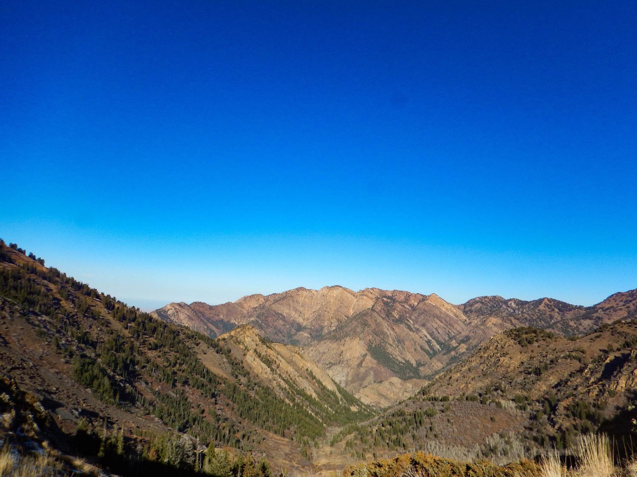
One of the more popular hikes in Big Cottonwood Canyon, this is, in my mind, very deservedly popular. The hike is about 3 miles one way to Lake Blanche, but a thigh busting 2700' of gain along the way. The reward? Just before you reach Lake Blanche, the trail climbs above tree line to an idyllic alpine setting with towering peaks, glacier-carved rock outcroppings, and stunning views in all directions. Given the gain and distance, this ranks as a moderate hike. Bring a lunch, as I think a big part of the charm is spending some time taking in the views and visiting the other nearby lakes.
Because of the elevation, this hike is often snowed in until late spring or early summer and can have snow by mid-fall. High summer is the time to visit for wildflowers, while early to mid fall can bring a stunning foliage display that any respectable leaf peeper would enjoy.
Getting There
Big Cottonwood Canyon is on the east side of the Salt Lake City Valley. Get there by taking I-215 to the east, taking exit 6 off the interstate and heading east.
Follow 6200 South which becomes Wasatch Blvd for 1.8 miles to the stop light and signs for Big Cottonwood Canyon.
Turn left at the light and reset your odometer.
Drive up Big Cottonwood Canyon. At 4.7 miles, just at the start of the S-Curve, the trailhead is on the right side of the road. If the trailhead is full, another small parking area is just up the road on the right as well.
Route Description
From the trailhead, follow the wide and paved trail along the stream. In a few minutes, the Lake Blanche trail leaves on the right and is well signed. From the luxurious paved trail, the Lake Blanche trail becomes a steep, rugged, and rock strewn affair! Charge up the hill!
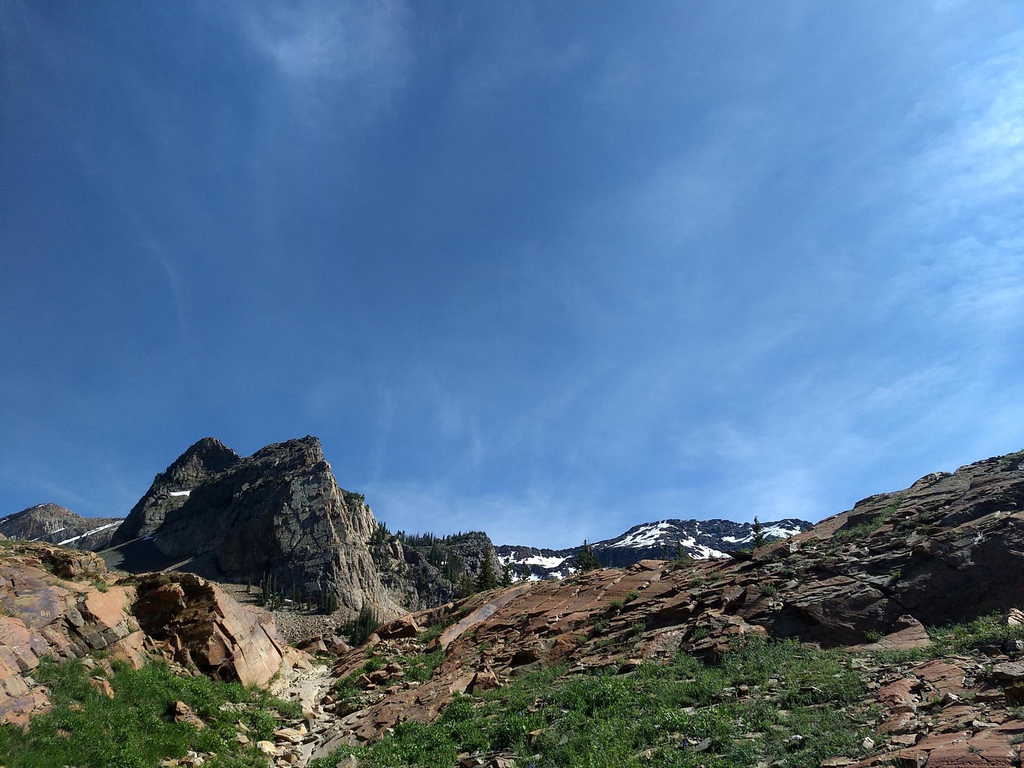
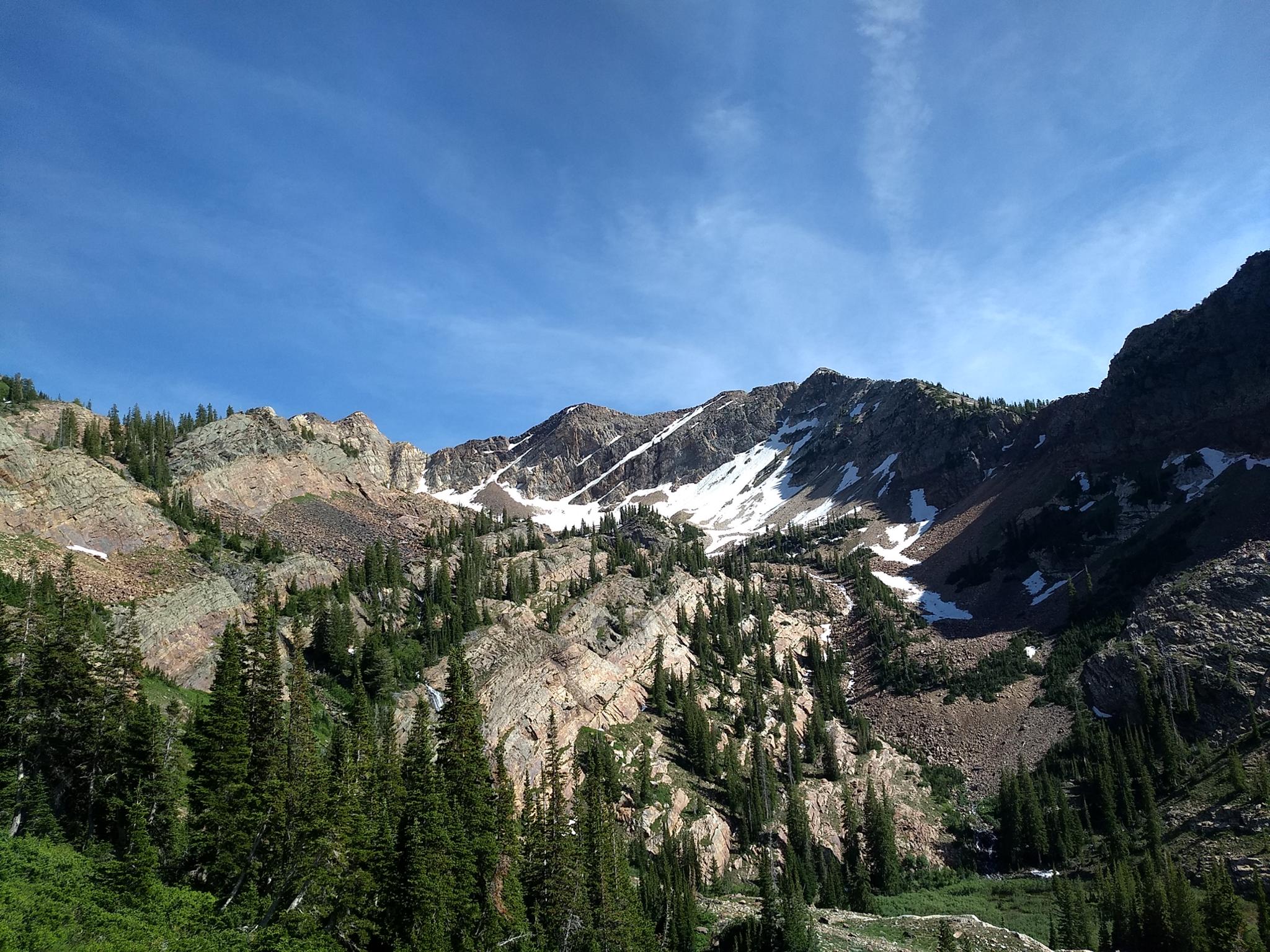
The trail meanders along the creek for some time, then begins a series of steep switchbacks as it makes the final climb up the headwall to the lakes. The main peak closest in view is Sundial Peak. Once at the lake, O'Sullivan Peak looms to the southwest
The lakes have been improved with dams for use by the miners. From Lake Blanche, follow the well-used trail west past Lake Florence and to Lake Lillian.
Return the same way.
Mineral Fork Pass
It is possible to reach Mineral Fork from Lake Blanche on an old forest service trail. Making a loop down Mineral Fork is a long but rewarding day. See the Mineral Fork description for information on descending Mineral Fork.
To reach Mineral Fork pass from Lake Blanche, follow social trails to the east side of the lake. There are many trails here, find one that ascends the vegetation-covered slope between two rock-covered areas. This trail, as of 2019, was indistinct in spots, but easy to find with a little hunting around.
This old trail climbs steeply above the quartzite layer before the angle eases a bit and it traverses east then southeast along the slope, gradually angling up toward the ridgeline. The views in the upper basin of the rugged ridgeline and cirque are incredible, with snowfields and waterfalls in the summer.
The trail rounds a corner with a small pond and old mine ruins below. Stay on the trail, as it goes around the corner, then makes a final 200-foot ascent to Mineral Fork Pass. The last section is a bit steep and loose, but not technical.
Maps


12T 438840E 4498292N
40°37'60"N 111°43'24"W
12T 439141E 4498225N
40°37'57"N 111°43'11"W
12T 439292E 4498143N
40°37'55"N 111°43'04"W
12T 439347E 4498129N
40°37'54"N 111°43'02"W
12T 441502E 4495322N
40°36'24"N 111°41'29"W
12T 442961E 4494547N
40°35'59"N 111°40'27"W