 Hiking
Neffs Canyon
Hiking
Neffs Canyon
Salt Lake City
Overview
Neff’s Canyon is a good place for an after-work off-leash hike with your dog or a lovely fall hike. Many people stroll up just far enough to get themselves, their dogs, and their kids a little exercise, but the meadow at about 3 miles is also a popular destination. Like most hikes in the area, the trail is steep, ascending at a pace of just under 1000 feet per mile. The stream, often dry, is reached after just half a mile and is a fun place for kids to wade in the water (when available), play with sticks, and check out the rope swing.
Getting There
Take exit 4 off of Interstate 15 on the east side of the Salt Lake Valley. Once off the freeway, head east toward the mountains on 3900 South that becomes Jupiter Drive. At 0.8 miles, turn left onto Oakview / 4280 South. Follow this a few blocks to Park View Dr. (4055 E.). Take the next right onto 4260 E., then a final right onto White Way that is followed a short distance to a large parking area and trailhead.
Route Description
From the parking area, walk up the old road for about 0.5 miles, passing a water tower along the way. At the stream, the wide road turns into a narrow trail. There are actually two options at this points that will meet up again in less than a quarter mile. Take a quick left onto a narrow trail or cross the stream before turning left and walk through an area that is more open. With the second option, you will reach an area with a small seep and a rope swing. The trails meet up soon after.
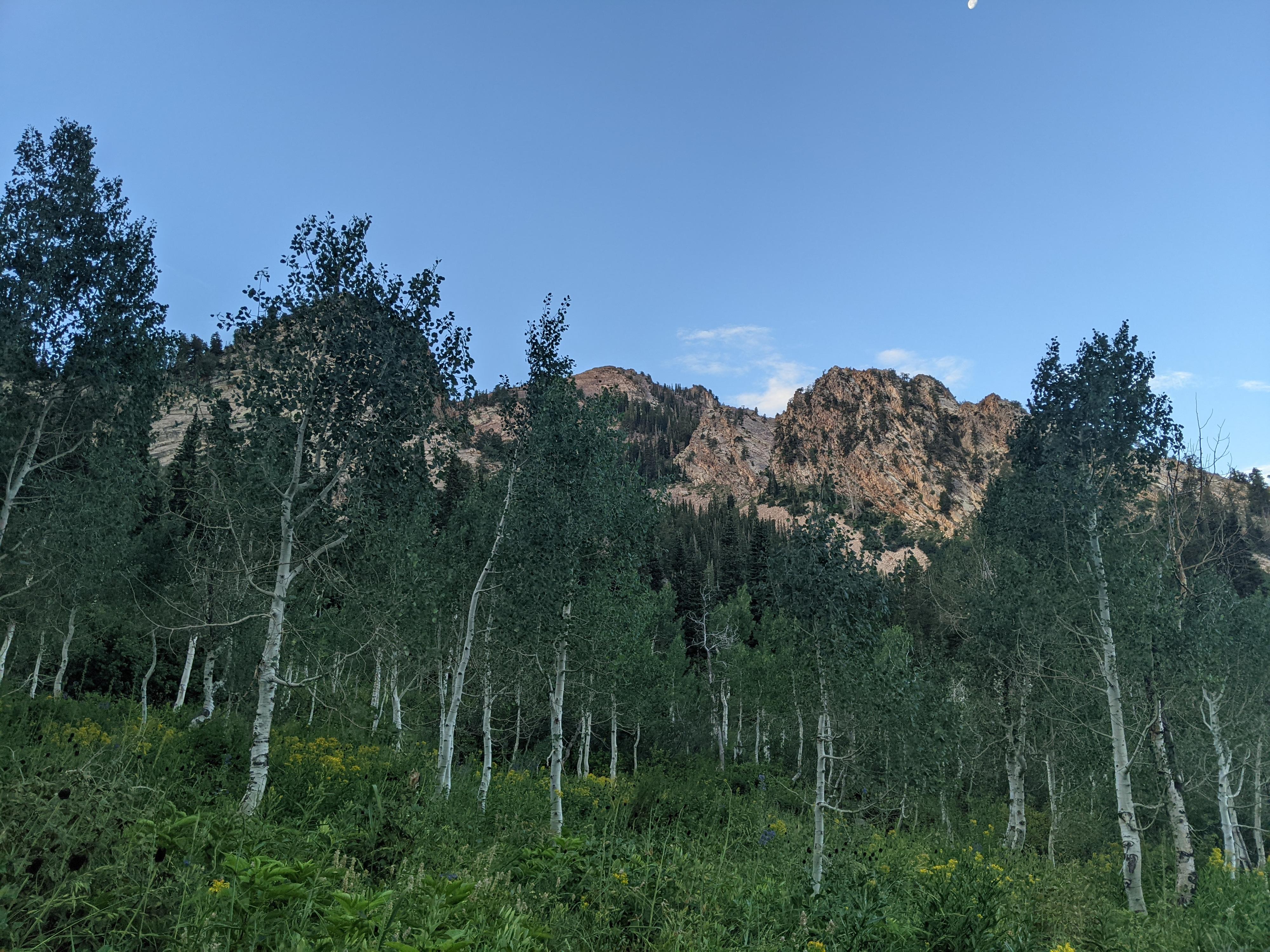
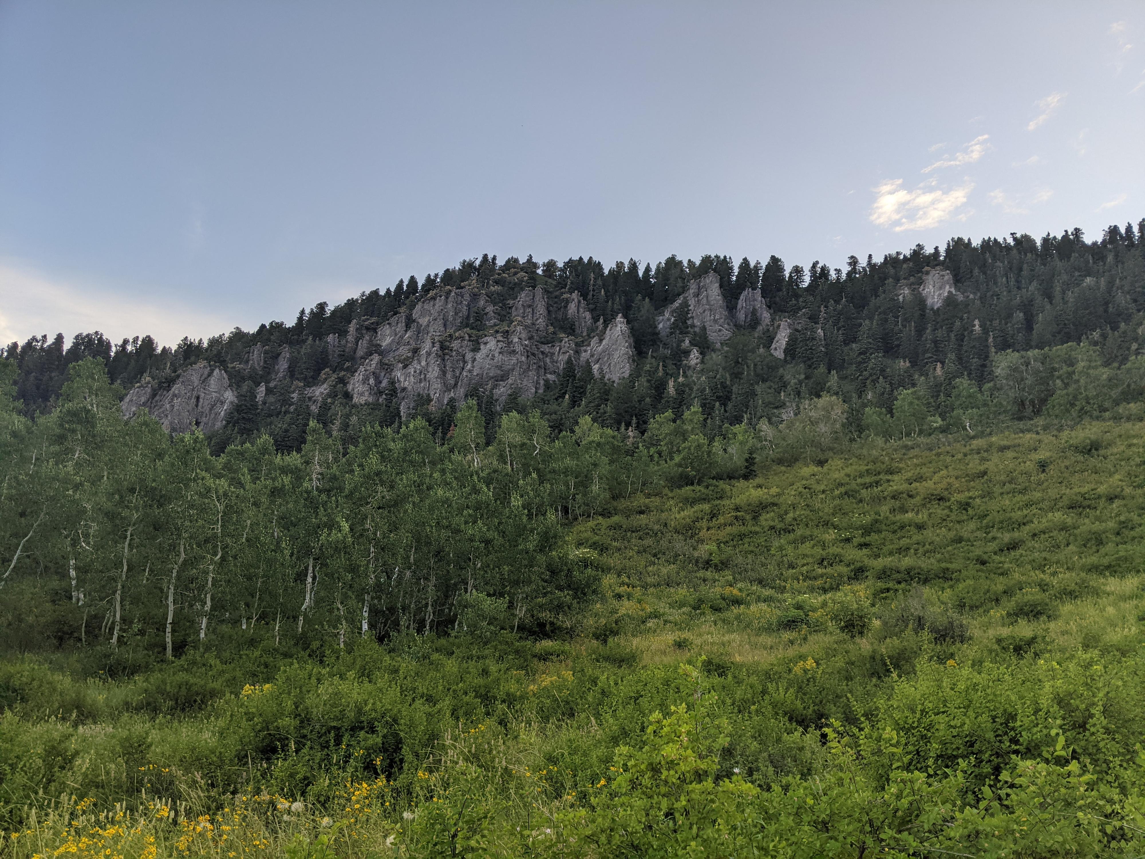
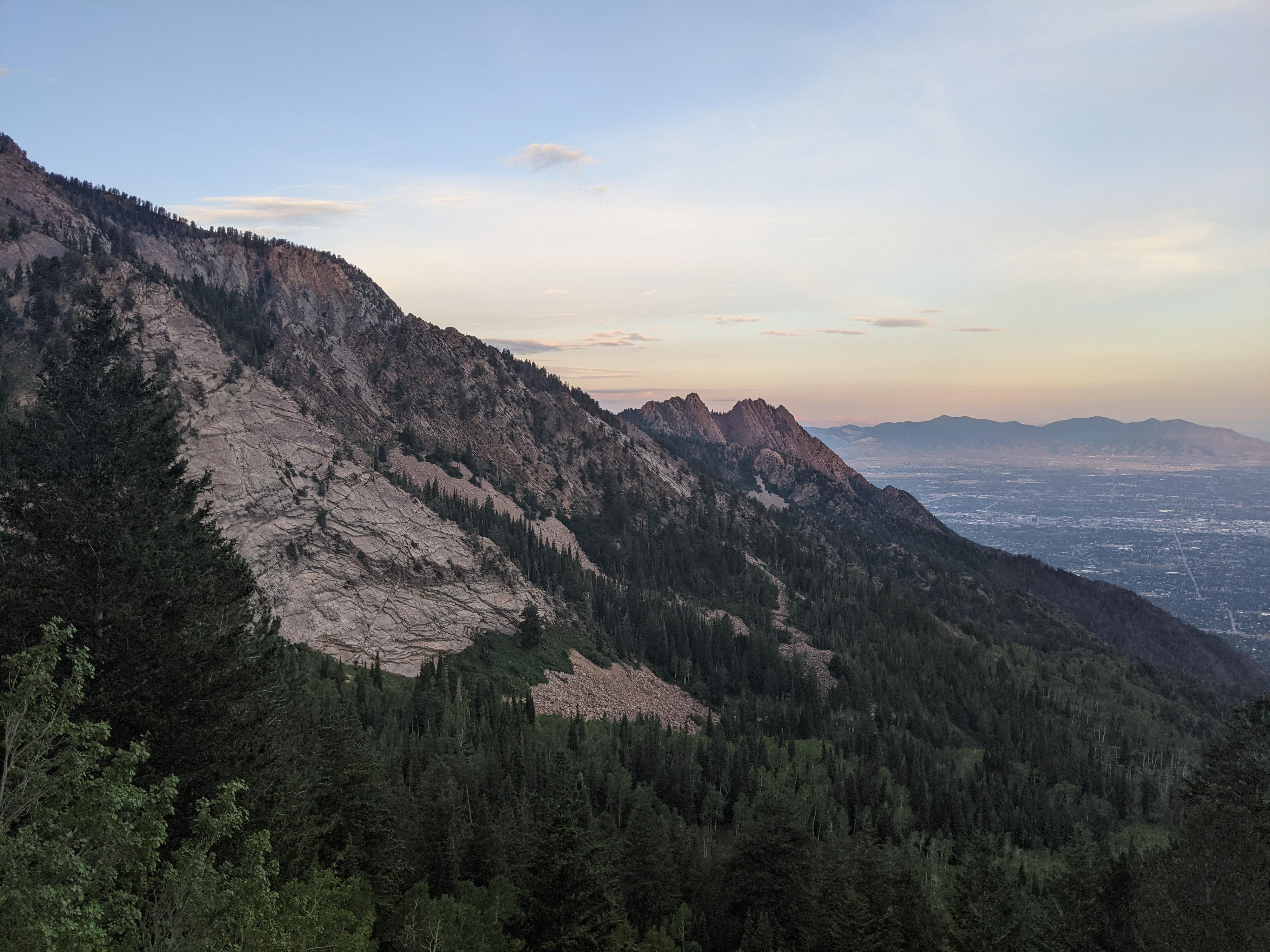
The hike continues up and up, occasionally offering views of interesting rock formations or passing through aspen groves. A sign for the Mount Olympus Wilderness is reached; at this point the trail gets a bit steeper. About 2.5 miles from the trailhead, after crossing a stream, you’ll reach the meadow area, which has low shrubs that allow for good views up the canyon.
The trail continues beyond this poin, reaching a junction and large cairn. Left goes to the pass into Thayne Canyon, right goes up to Mill B Pass. Most seem to turn around at the meadow.
Maps

12T 434403E 4503194N
40°40'37"N 111°46'34"W
12T 434956E 4502628N
40°40'19"N 111°46'11"W
12T 434982E 4502602N
40°40'18"N 111°46'09"W
12T 435243E 4502660N
40°40'20"N 111°45'58"W
12T 436321E 4502830N
40°40'26"N 111°45'12"W
12T 437622E 4502535N
40°40'17"N 111°44'17"W