
 Hiking
Pittsburg Lake
Hiking
Pittsburg Lake
American Fork Canyon
Overview

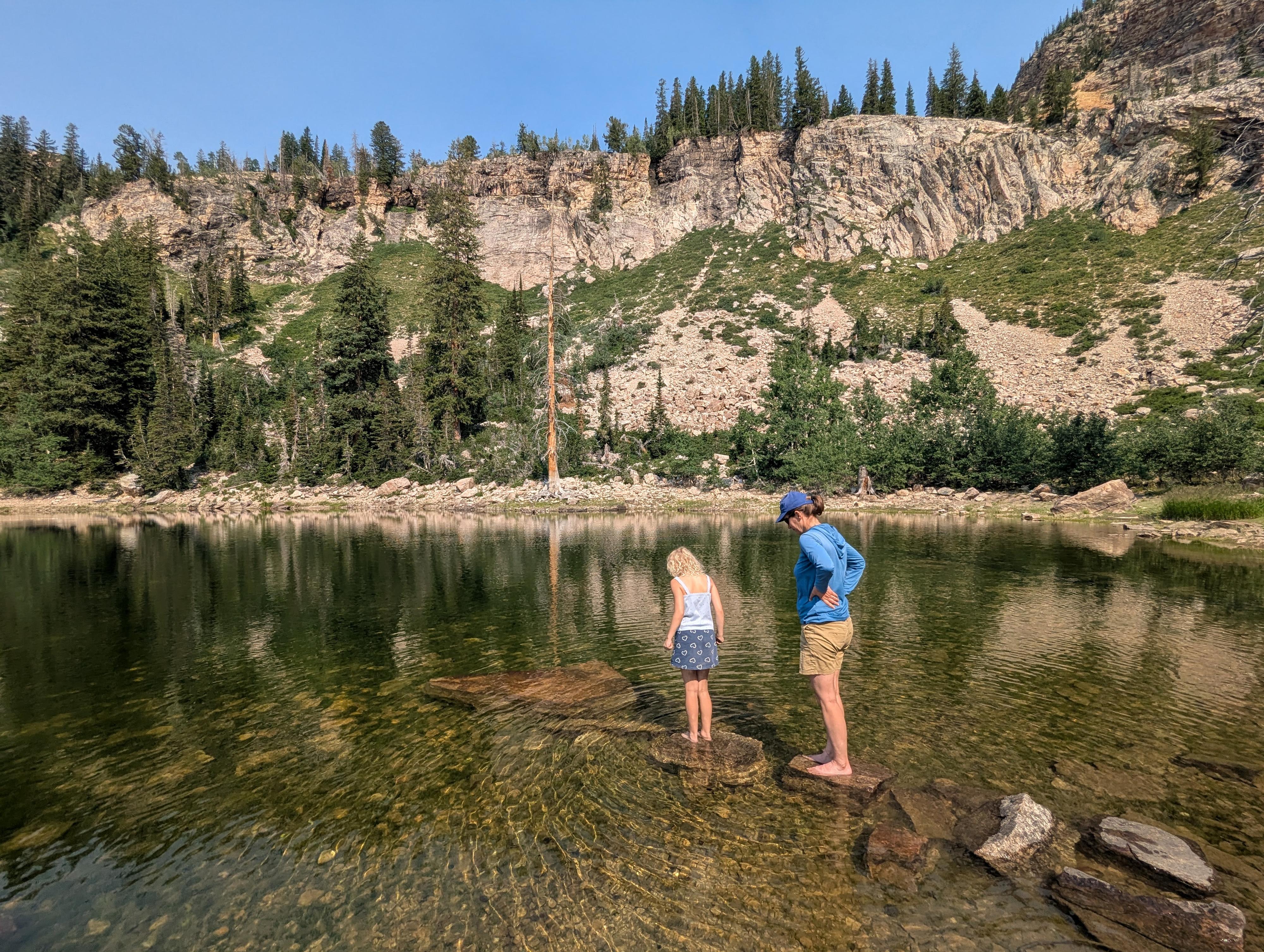
Nestled high in the upper reaches of American Fork Canyon, Pittsburg Lake is one of the Wasatch Range’s best-kept secrets. While nearby trailheads overflow with crowds, this alpine jewel remains quiet and peaceful, owing to a rough, high-clearance access road that I suspect deters many and leaves the trail delightfully uncrowded. This is a hike I had put off for a while, and I absolutely loved it when the family and I finally visited.
Tucked into a dramatic glacial cirque just below the high divide separating American Fork from Little Cottonwood Canyon, the hike is stunning in spring or fall. In summer, the surrounding high-elevation meadows erupt with vibrant spring wildflowers like Indian paintbrush, lupine, and mountain sunflowers feeding off the lingering snowmelt. By autumn, the landscape transforms entirely: the scrub oak and quaking aspens lining the lower basin ignite in brilliant shades of gold, orange, and crimson, set against towering granite and limestone peaks.
Operating at elevations over 9,000 feet presented challenges, prompting miners to drive deep horizontal adits like the Smuggler Tunnel to tap underground veins and drain water from upper workings. Despite the initial boom, harsh Wasatch winters, constant avalanche hazards, and steep transportation costs made long-term operations difficult. Production fluctuated intermittently into the mid-20th century before high-grade ores were exhausted, leaving behind the historic road cuts, tailings, and ruins.
Getting There
The road is closed seasonally at Tibble Fork. To see if the road is currently open, you can check www.isafcanyonopen.com look at the entry for North Fork FR085 Tibble Gate. This area can also be approached from Midway, but most come from Tibble Fork.
From the fee booth at the bottom of American Fork Canyon, head up the canyon on UT-92 for 4.7 miles to the signed junction for Tibble Fork on the left. Turn left and drive 2.5 miles on UT-144 to Tibble Fork Reservoir.
At the reservoir, stay straight. The road turns to dirt. Reset your odometer here as you turn off pavement onto the dirt road. There are many smaller side roads and campsites along the road. Stay on the main dirt road until a junction is specified. The road is narrow in spots and often has a lot of traffic on it. Keep an eye out for oncoming traffic.
At about 4.5 miles, the road passes through Forest City, which is in Dutchman Flat. After Dutchman Flat, the main road crosses to the east side of the river.
About 5.25 miles from Tibble Fork Reservoir is a major junction. Right climbs the hill and eventually ends up in Midway. Left, signed Pittsburg Lake Trailhead, is the way you want to go. The road, still pretty good, continues following along the east side of the stream.
About 5.8 miles from Tibble Fork Reservoir, the road crosses the stream. This is an important crossing. Beyond the crossing, the road gets much worse. If in doubt, stopping near or just after the crossing is a good place to start the hike.
From the crossing, follow the main dirt road, ignoring side roads on the left for about 1/2 mile to where a side road leaves on the right and crosses the stream. This is the second side road on the right that crosses the stream you encounter about 1/2 from the crossing. The first just goes to a campsite. The second crosses the stream and goes to a large circular loop that is the trailhead. You may want to stop short and walk any of this last section if it is too rough.
Route Description
From the trailhead, follow the signed trail that leaves the parking area to the north. It climbs a bit, then steepens and begins to climb in earnest. If you keep an eye out to the north, you can see the ski resort lift high on the ridge. Though the trail follows an old road, it has mostly grown in.
About 1/2 mile from the trailhead, the trail makes a major left-hand turn on a bouldery corner. Just a few minutes up from the corner, on the right, you might be able to pick out the tailings pile from the old Centennial Mine. It appears to have completely collapsed from what I could see. There is another mine, Smugglers Tunnel, between Centennial and the lake, but I couldn't even discern a tailings pile for that mine!
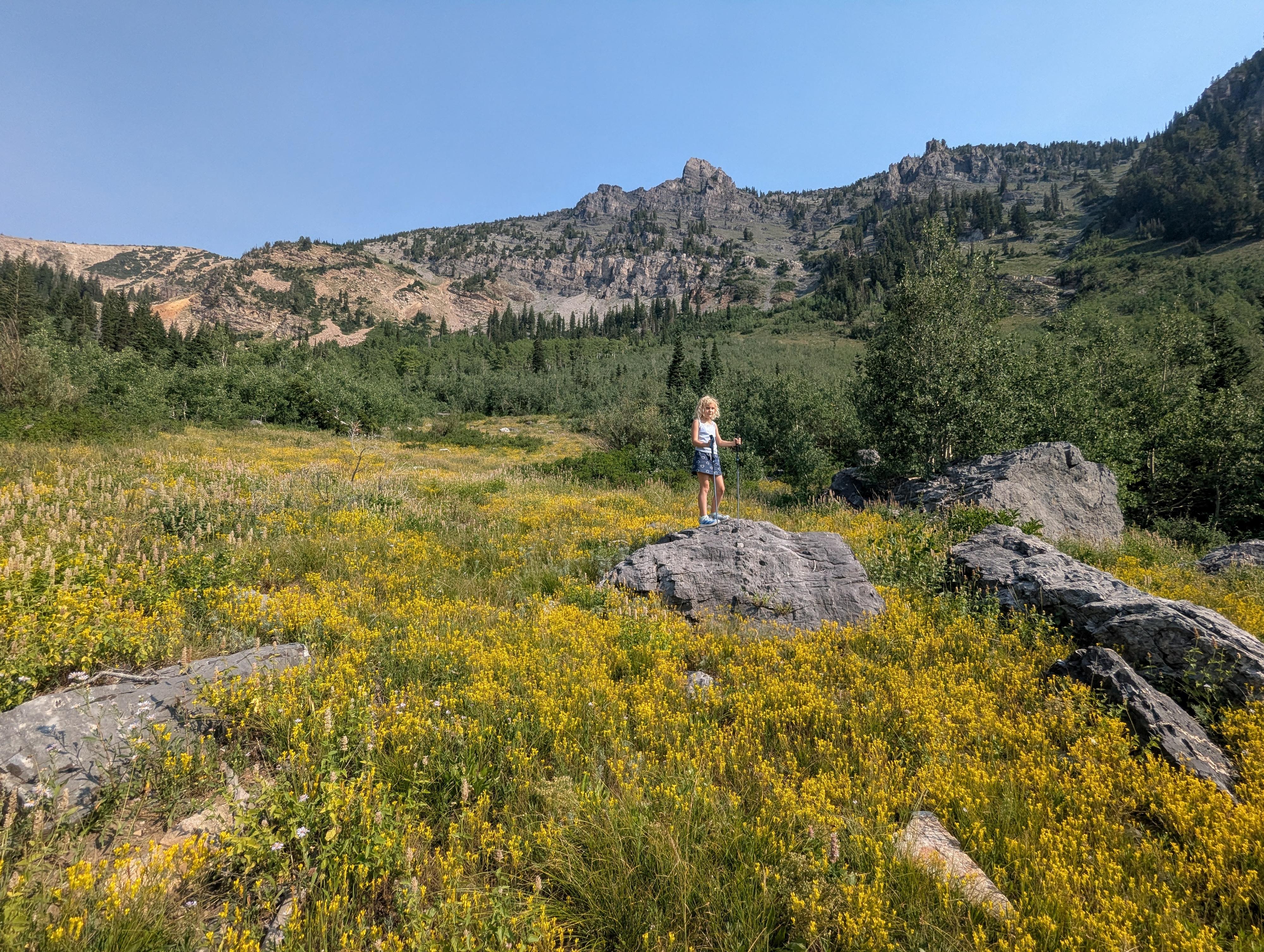
The trail started in more open terrain, but as the elevation increases, it becomes a little more shaded. It is steep throughout, though! As you near the lake, the trail passes through an open meadow section that, on our visit, was stunningly dotted with wildflowers.
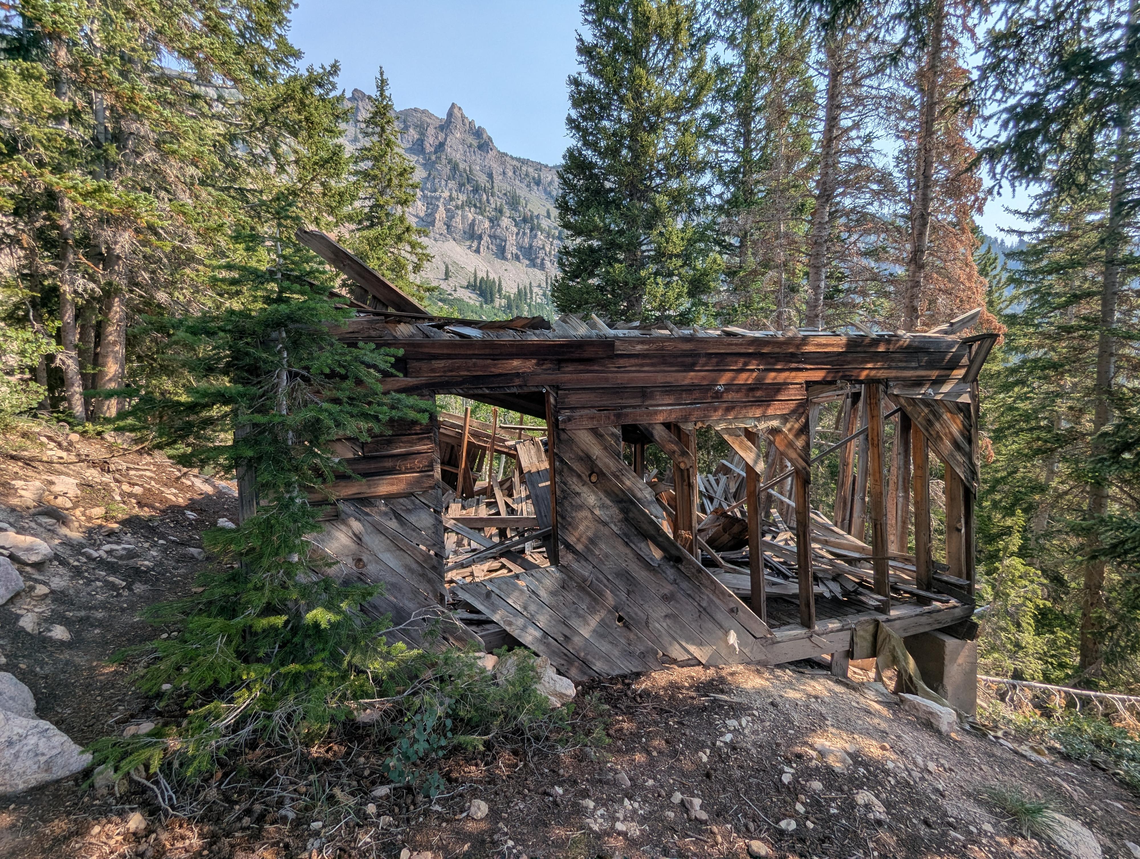
The lake is soon after. At the lake, be sure to hike left (clockwise) around the lake. On the west side of the lake is an old wooden mining structure that has degraded over the years, as well as quite a few concrete pillars between the structure and the lake. It must have been a big operation in its prime.
Return the same way.
Photos
Maps
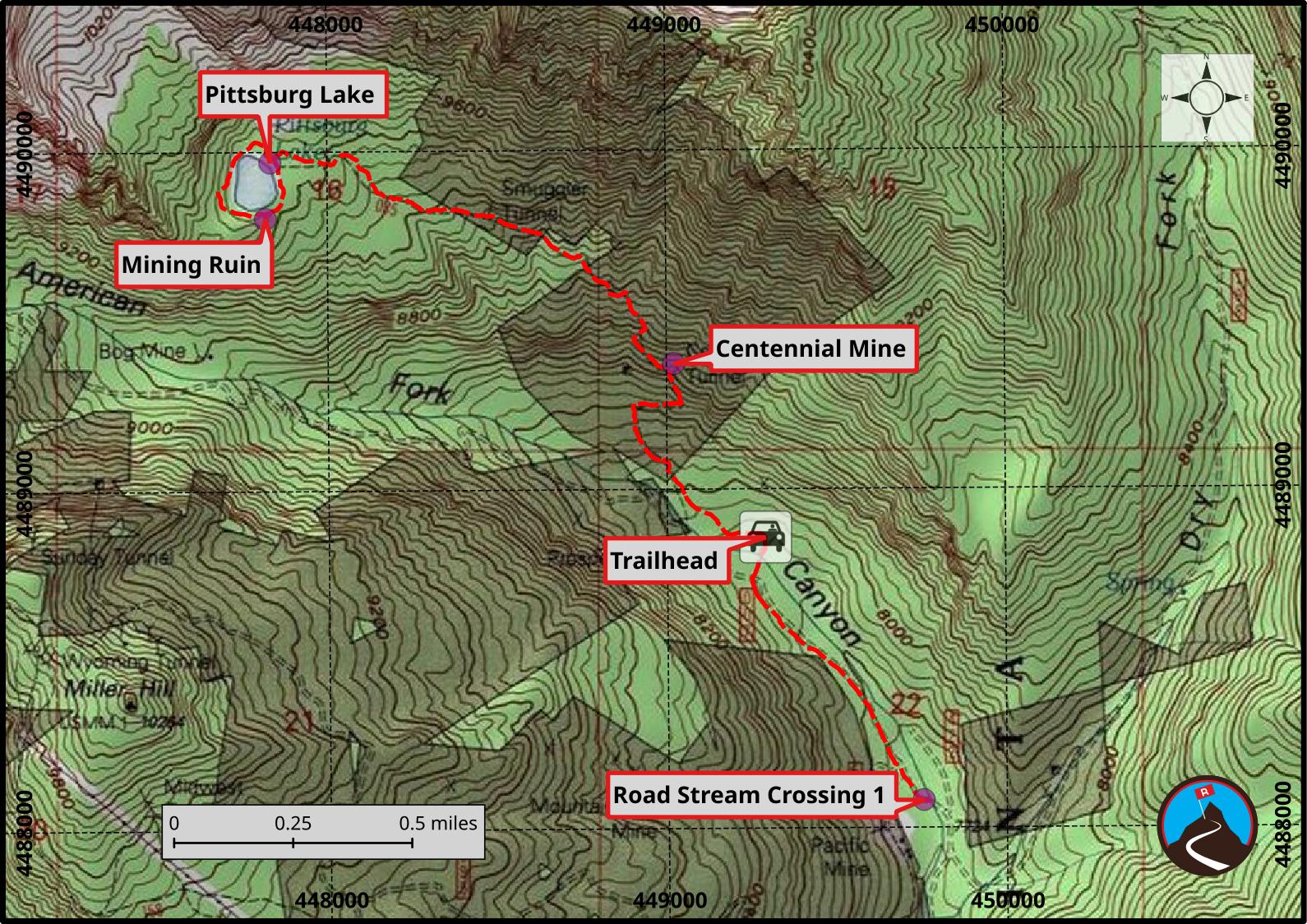
12T 449754E 4488079N
40°32'31"N 111°35'36"W
12T 449290E 4488856N
40°32'56"N 111°35'56"W
12T 449021E 4489369N
40°33'13"N 111°36'08"W
12T 447816E 4489803N
40°33'26"N 111°36'59"W
12T 447831E 4489968N
40°33'32"N 111°36'58"W