 Hiking
Grandstaff Canyon
Hiking
Grandstaff Canyon
Moab
Overview
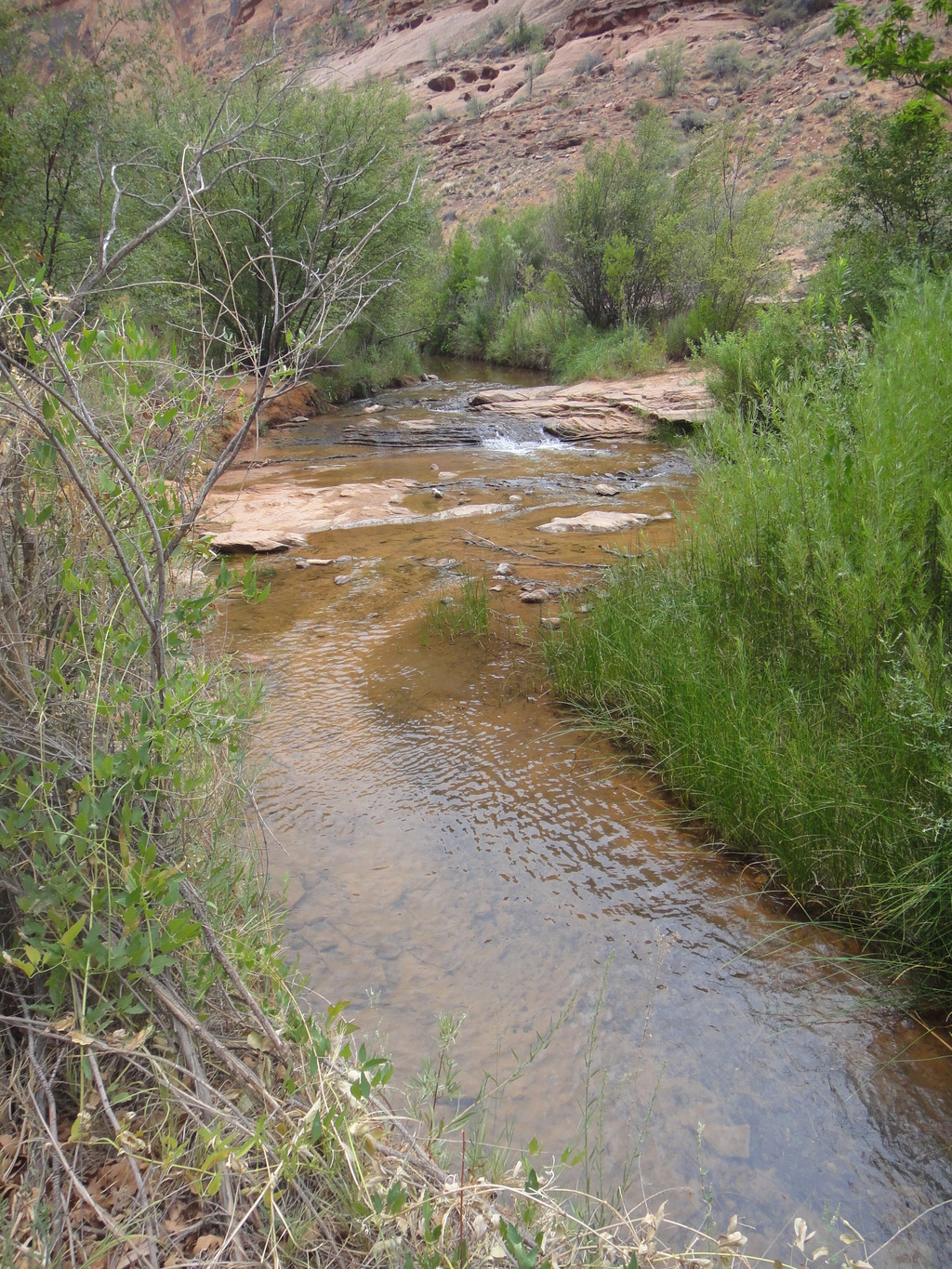
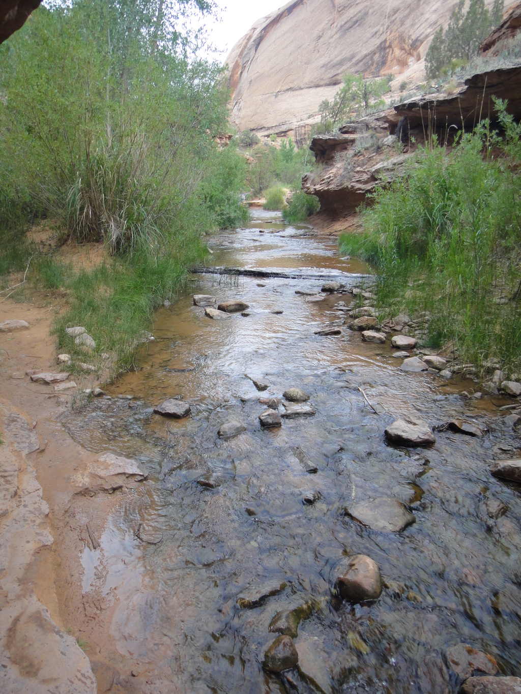
Grandstaff Canyon is one of the most popular hikes around Moab. It is the standard route to Morning Glory Arch and offers a good, family friendly hike. The canyon has a year-round stream in the canyon bottom, so can be tolerable in even the hottest times of the year. The flip side is that most of the stream crossing have enough rocks to keep your feet dry, so this one can also be done in the dead of winter.
Getting There
Heading north out of Moab about a mile, and turn right on Highway 128. Go up Highway 128 about 3 miles to the obvious and signed Grandstaff trailhead on the right. The trailhead has a large paved parking area and outhouse.
Route Description
Follow the well-established trail up Grandstaff Canyon. The trail stays on the east side of the stream for 20 or so minutes before beginning quite a few crossings. Most of the crossing have strategically placed rocks in the stream; you are unlikely to get your feet wet.
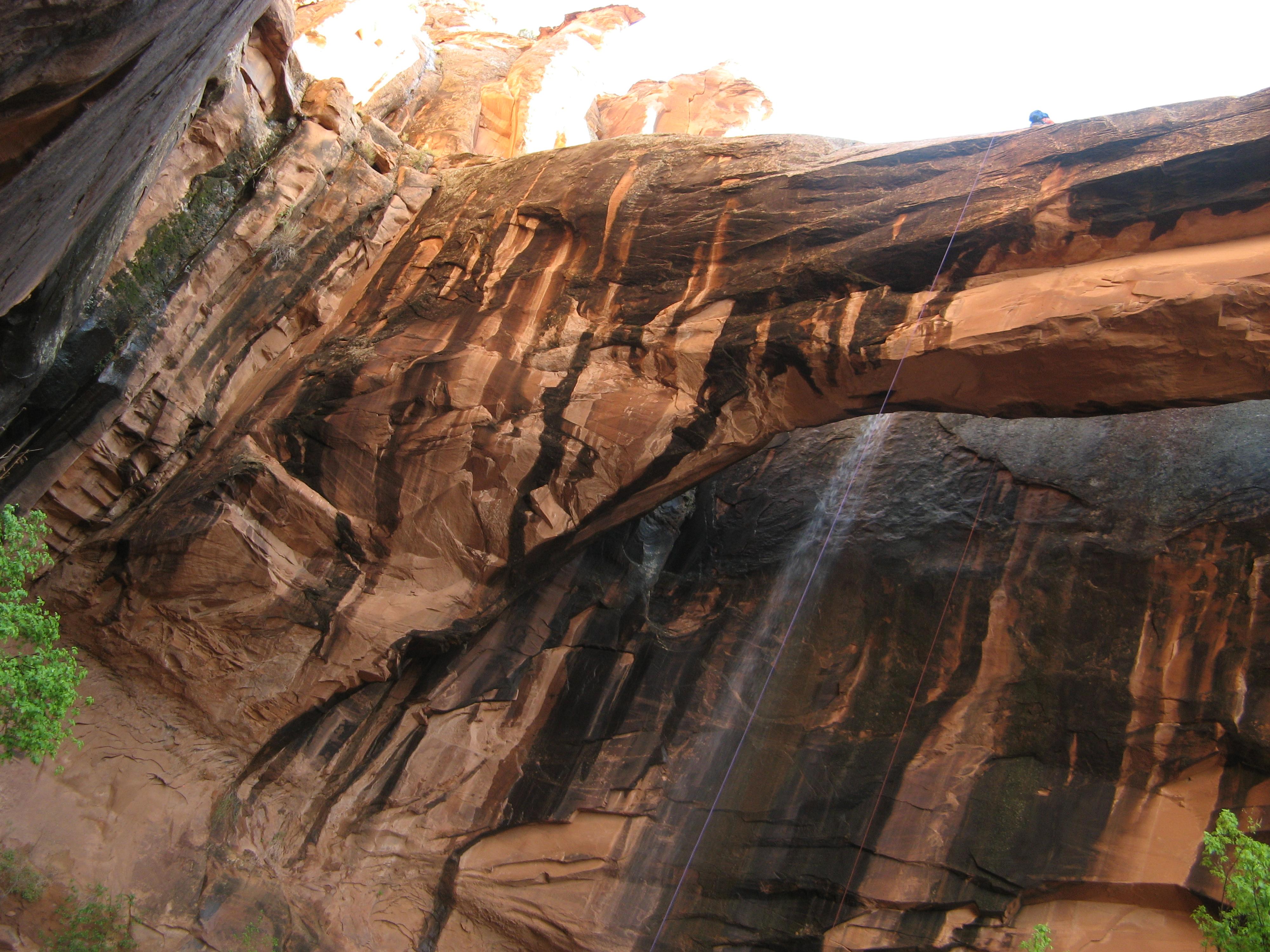
Shortly after the first crossing, a side canyon comes in on the right and is not the Morning Glory Arch side canyon. Keep going up Grandstaff Canyon. At about 45 minutes, the canyon comes to a pretty distinct Y. The main trail has a faint side trail leaving here on the left, with the main trail dropping to the stream, crossing the stream, and heading up the right side canyon to Morning Glory Arch. Expect about 60 or so minutes from the trailhead to Morning Glory Arch.
A less traveled diversion
If you're motivated, or looking for a less traveled diversion, you can take the faint left-hand trail mentioned above before heading up the Morning Glory Arch side canyon. This faint trail continues up Grandstaff Canyon, and is less traveled than the lower sections of the canyon.
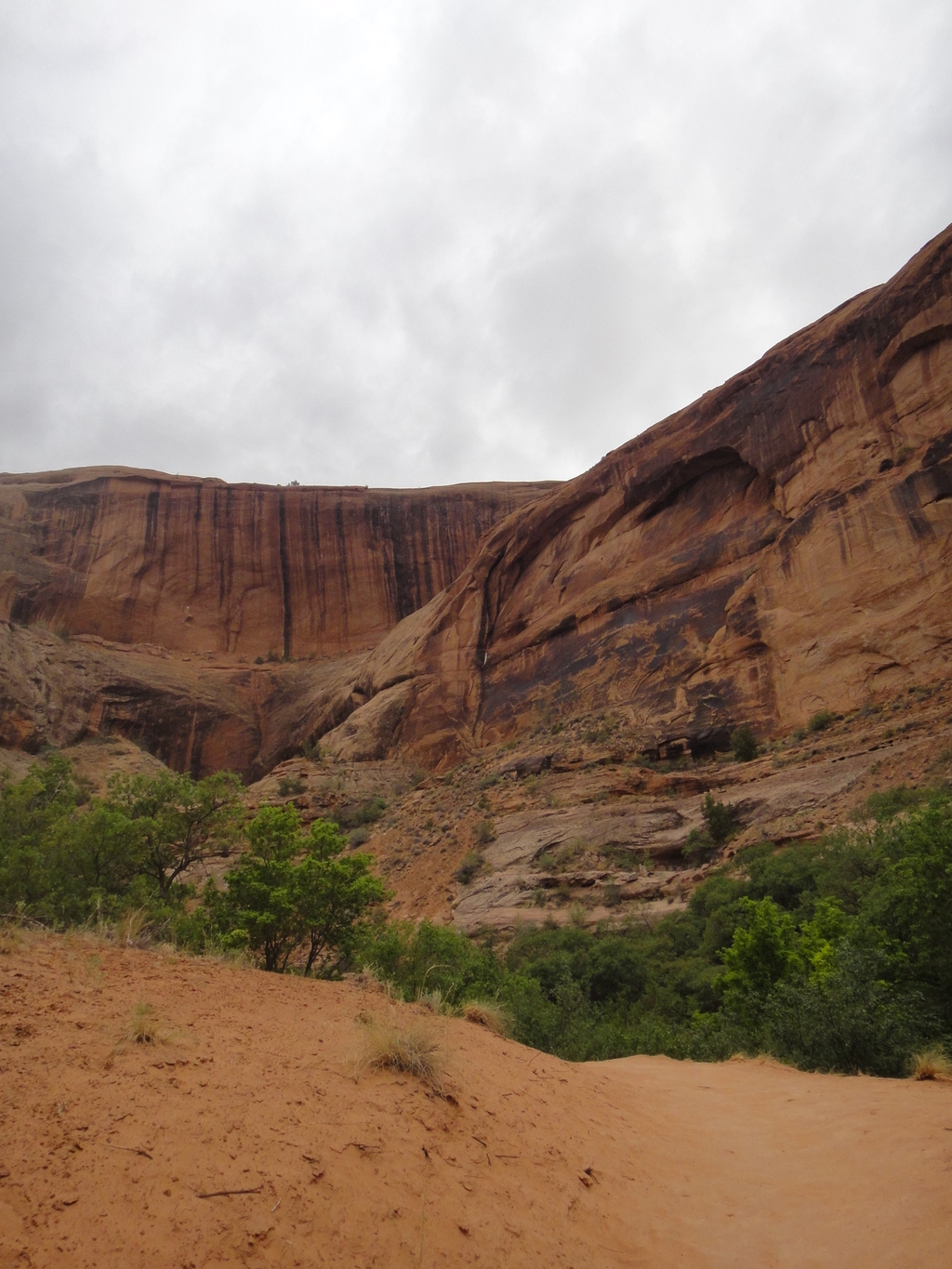
The canyon is less impressive above the junction to Morning Glory Arch, but still pretty and worth the hike. The trail in this section stays more on benches, away from the water, so can be hot in summer. Return the way you came as energy dictates.
Maps

12S 627646E 4274512N
38°36'36"N 109°32'02"W
12S 629330E 4273189N
38°35'52"N 109°30'53"W
12S 629857E 4272752N
38°35'38"N 109°30'32"W