 Hiking
Stairs Gulch
Hiking
Stairs Gulch
Big Cottonwood Canyon
Overview
Stairs Gulch is a lovely, albeit steep side drainage across from the Storm Mountain Picnic area. The gulch, presumably named for how it steeply stair steps down from the ridge, is known for having immense avalanches in the winter and steep, loose rock in the summer.
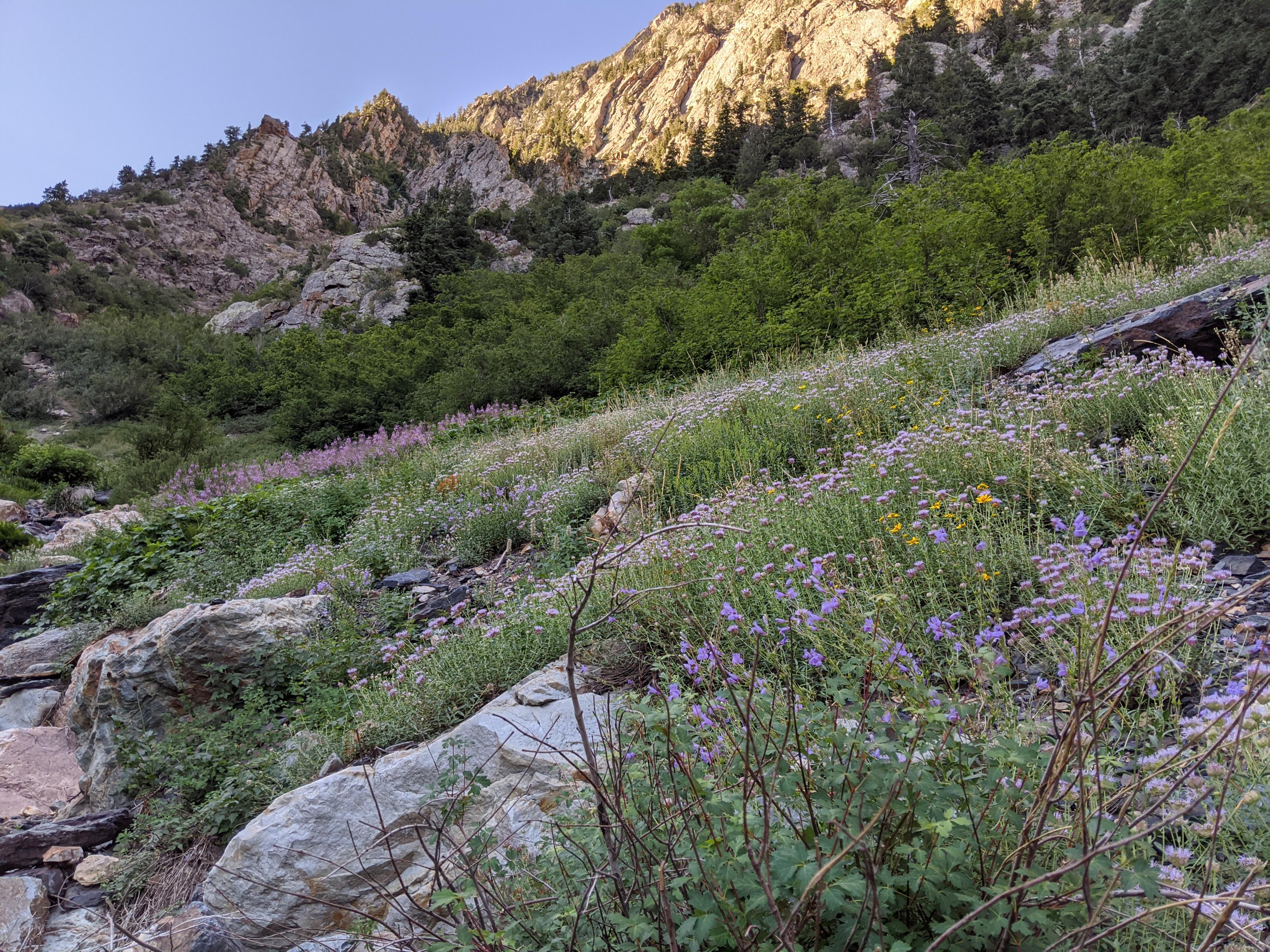
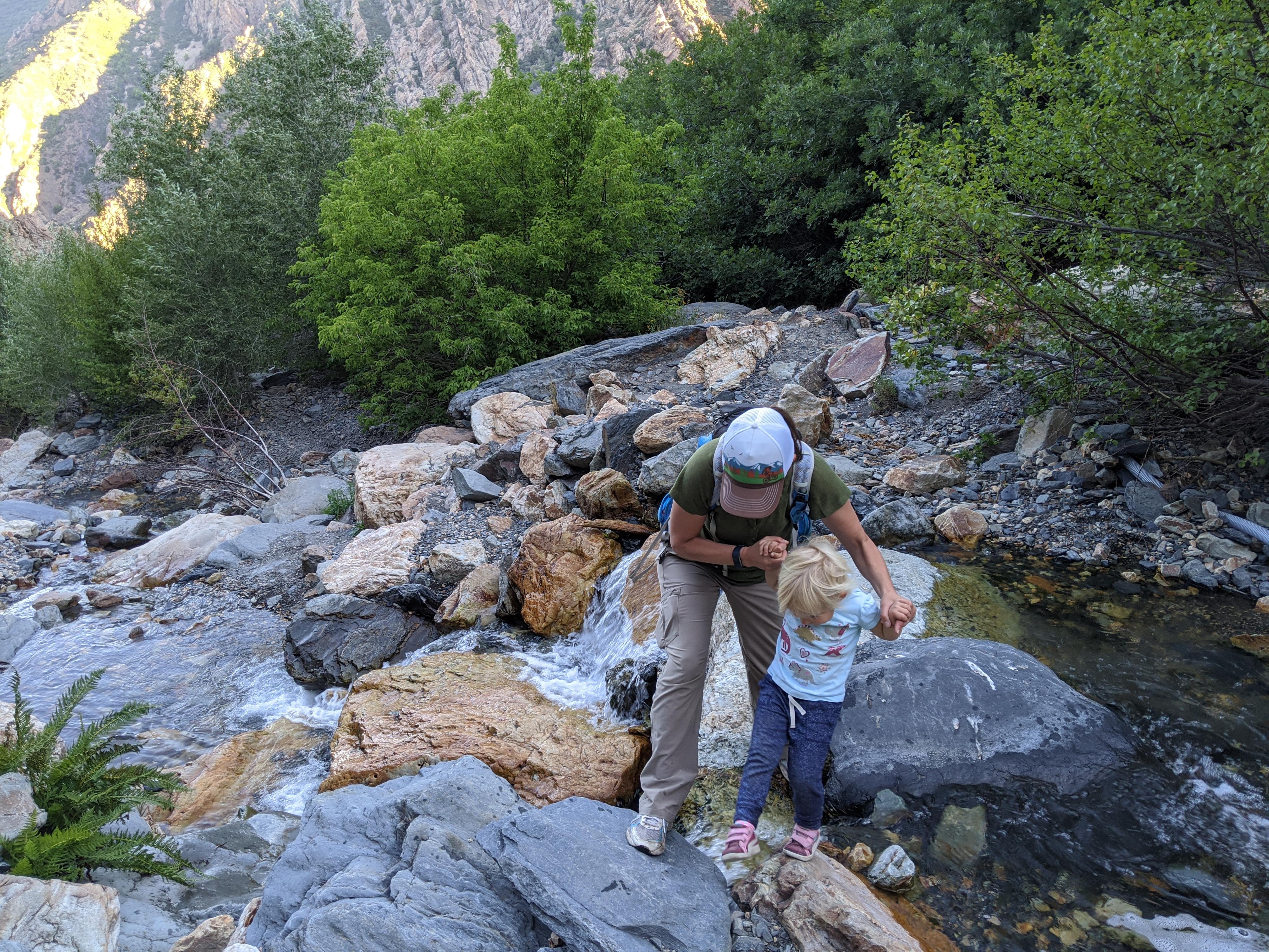
The lower section, for about 0.8 miles from the Big Cottonwood Canyon road, makes for a lovely family hike though. This lower section is a mix of big views, small waterfalls, and wildflowers or fall colors depending on the season. Though family friendly, the trail is steep and rocky in places. Our 3-year-old make the hike up on her own but was happy to have a backpack ride down.
Getting There
Big Cottonwood Canyon is on the east side of the Salt Lake City Valley. Get there by taking I-215 to the east, taking exit 6 off the interstate and heading east.
Follow 6200 South which becomes Wasatch Blvd for 1.8 miles to the stop light and signs for Big Cottonwood Canyon.
Turn left at the light and reset your odometer.
Drive up Big Cottonwood Canyon for 2.8 miles. The trailhead is a small dirt pull-out on the right just barely past the Storm Mountain picnic area on the left. If parking is not available, continue up a few hundred feet to a larger parking area on the right before the road curves and walk back to the trailhead from there.
Route Description
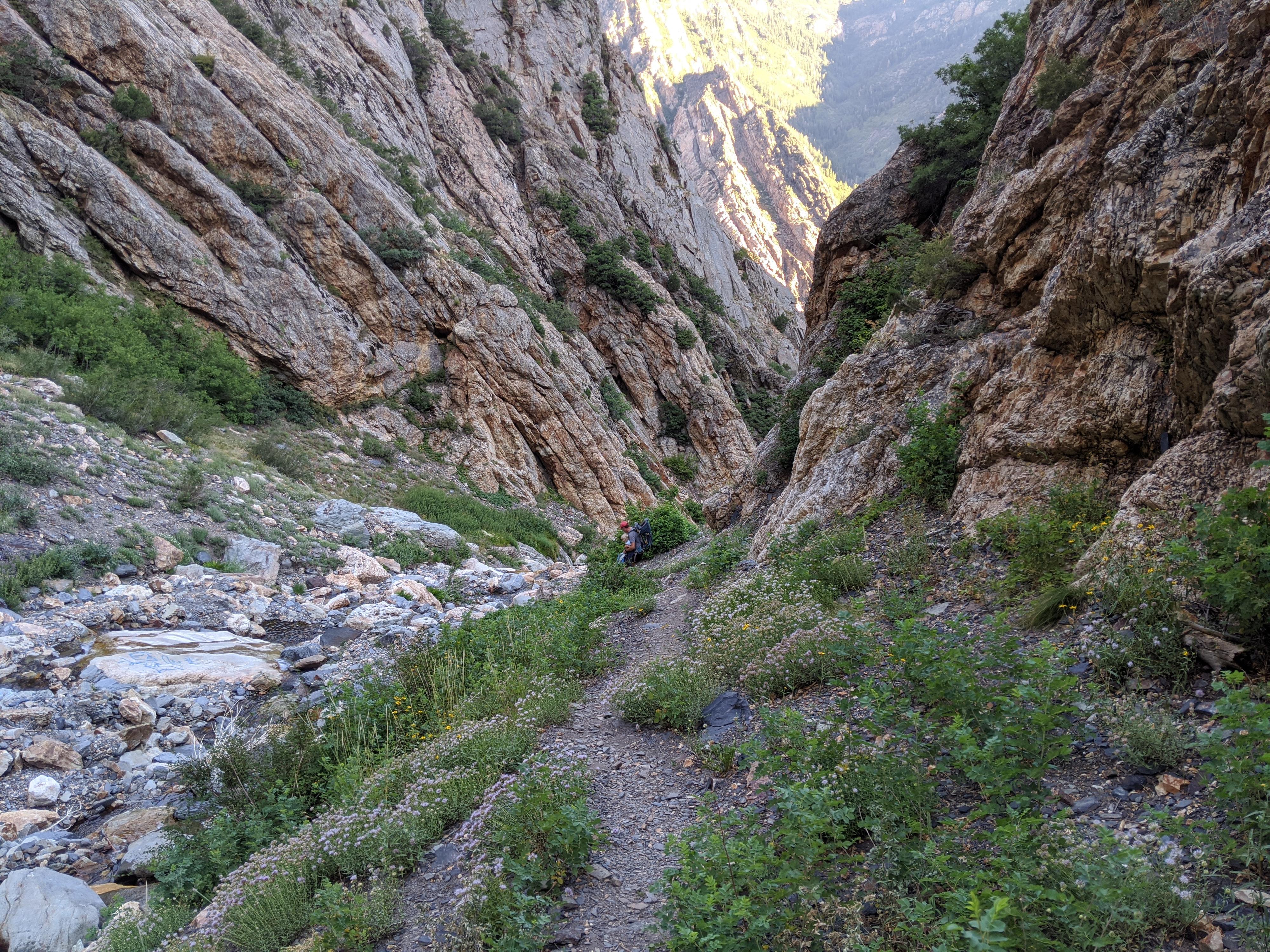
From the trailhead, follow the defined trail. It is an old road at this point, and heads west (down canyon) as it begins climbing. After just a few minutes, the trail narrows where the old road stops at a water works pipe. Continue up the now single track that is a bit overgrown. There are many minor side trails to climbing areas or other areas. Stay on the main trail on the left side of the stream.
The trail reaches the first crossing of the Stairs Gulch stream where the gulch narrows. Make this crossing, but then within just a short distance (30-40 ft), cross back. The trail on the left here is well defined and the main trail. The trail that continues up on the right is steep and eventually passes through thick poison ivy. Be sure to be on the main trail on the left!
Above this first crossing/cross-back, the foliage begins to open and the views of both the waterfalls and steep cliff walls that make up the sides of the gulch becomes clear. It is a magnificent area, complete with wild raspberry bushes along the trail in this section. Continue up, the trail steeps and moves away from the creek for a bit, then comes back closer. This section (the site of painted graffiti as of 2020), makes a good break spot with idyllic small pools and waterfalls to view.
Just above a large boulder and one of the largest falls in the gulch is reached. The trail crosses just below the falls and continues up. Above is a bit more prone to loose rock fall, and not quite as scenic. The boulder is the spot I recommend turning around.
Photos
Maps

12T 437143E 4497267N
40°37'26"N 111°44'35"W
12T 437230E 4496879N
40°37'13"N 111°44'32"W
12T 437334E 4496582N
40°37'04"N 111°44'27"W