 Hiking
Cedar BM
Hiking
Cedar BM
Cedar Mountains
Overview
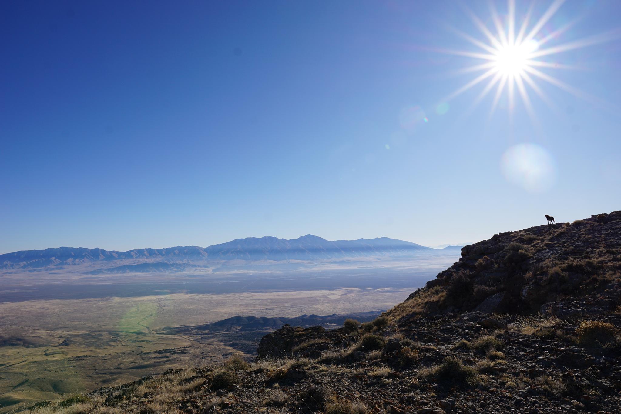
The Cedar Mountain Wilderness was created in 2006 to protect the wild qualities of the Cedar Mountain Range west of Salt Lake City. The range is home to antelope and wild horses and infrequently visited by people. For peak baggers, the Cedar Mountain BM is the highest point in the range, with a prominence of 2,847 feet (ranked #45 in the state). The prominence means it sees some traffic by peak baggers, but on our October visit, it has been only a few visits that year.
The peak is an easy one to hike. Though off-trail, the slopes are open with intermittent animal trails to follow. We only saw a lone wild horse on our visit, but a herd often frequents the area near the trailhead.
Getting There
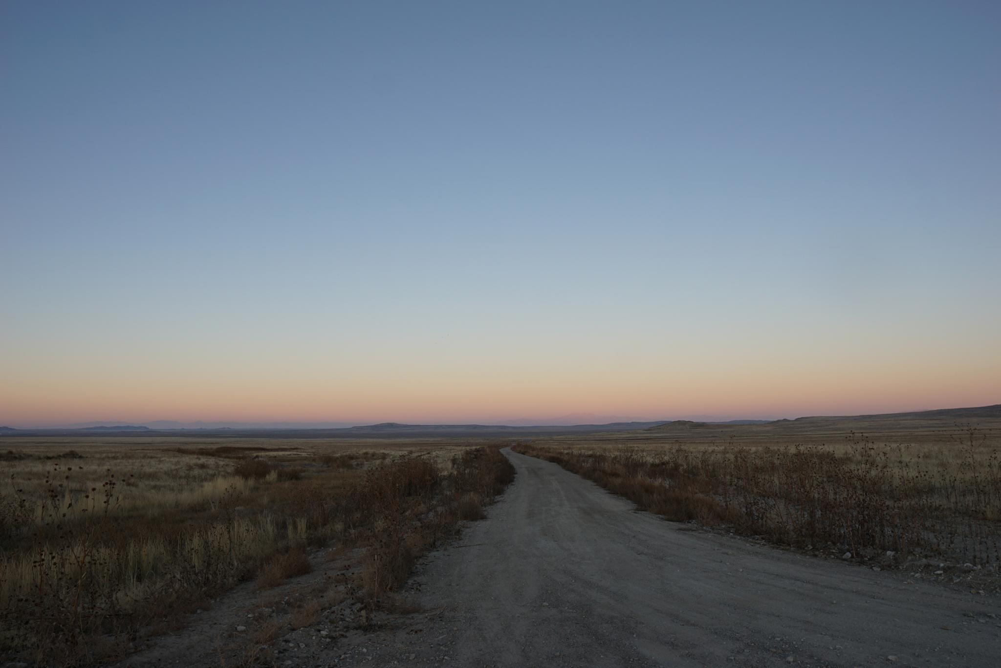
The trailhead is south of I-80. Go west from Salt Lake City on I-80 for about 70 miles to exit 56. This is 56 miles east of Wendover. Once off the highway, head south and reset your odometer.
Route Description
From the trailhead, the first goal is to reach the ridge due south. Begin by hiking up the steep slope wherever it looks easiest! An animal trail in spots makes this easier. Once on the ridge, follow it east as it climbs to the top of the range.
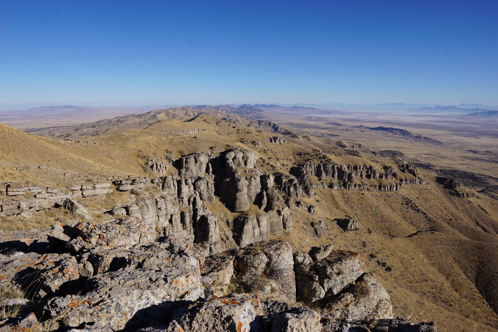
Near the top of the range, a good trail becomes evident. Follow it to the top of the range, then south. The actual summit has a benchmark and a large cairn. To the east of the summit are Skull Valley and the Stansbury Mountains in the distance. The vast west desert and Deep Creek mountains are visible to the west. The area to the southwest and west is part of Dugway Proving Grounds.
Return the same way.
Maps

12T 332145E 4491718N
40°33'33"N 112°58'58"W
12T 333292E 4489837N
40°32'33"N 112°58'07"W