 Hiking
Delano Peak
Hiking
Delano Peak
County Highpoint
Overview
Delano Peak is both the Piute and Beaver county highpoints, tucked in the Tushar Range, the third-highest range in the state. This is a family friendly highpoint with easy access, a good and generally easy to follow trail, and stunning views from its summit. There are many different approaches for reaching the summit, such as from Poison Creek, or the communications tower to the north. For my money, however, the official trail offers as easy access as any, and keeps traffic and impacts to a minimum.
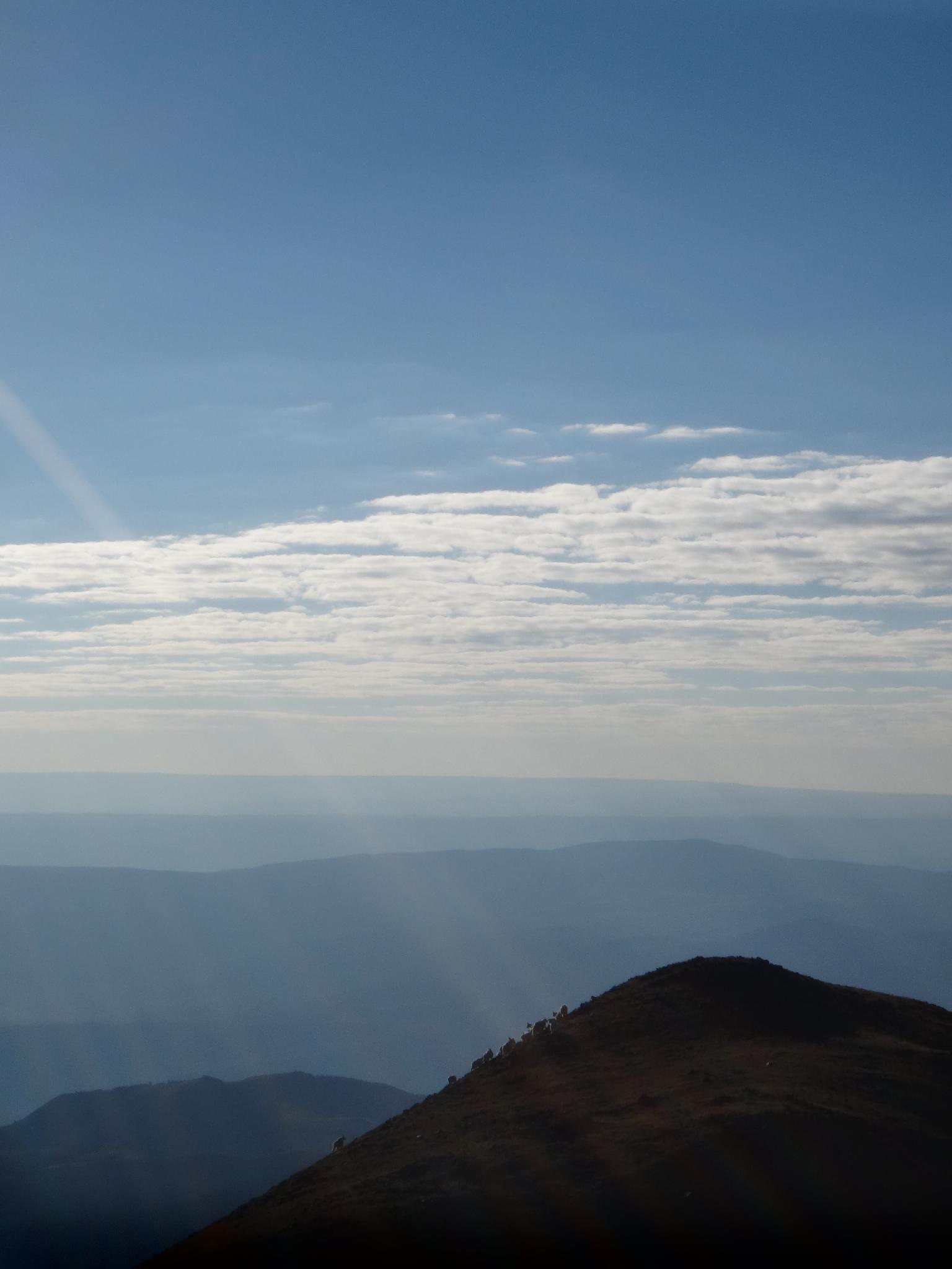
Bring a camera and a lunch. The summit is often frequented by mountain goats (we saw 30+ on our visit), and the distant views of Mount Baldy and Mount Belknap are very photo worthy. Return the same way, or traverse the ridge south to Mount Holly, another popular peak to bag before heading down.
Getting There
The trailhead can generally be reached by all vehicles in most conditions. Start from Beaver, Ut, and go out of town east on SR-153 toward Elk Meadows ski resort. At mile post 16.3 (16.3 miles east of Beaver), turn left toward Big John Flat on the north side of the road (Forest Road 123). The road is good, graded dirt from here.
- 0.3 miles - Stay left
- 0.8 miles - pass through a gate
- 2.5 miles - left
- 3.5 miles - The Paiute ATV Trail cross. Stay right on the main road through here. This is Big John Flat and has good primitive camping at a pit toilet.
- 3.6 miles - Cattle Guard
- 4.4 miles - pit toilet
- 4.8 miles - Skyline Recreation Trailhead
- 5.0 miles - Stay right, past Griffith Creek
- 5.5 miles - Trailhead on the right, with a small sign. There is enough room to squeeze 1 or two cars of the road here. If full, continue on the road to the next available spot.
Route Description
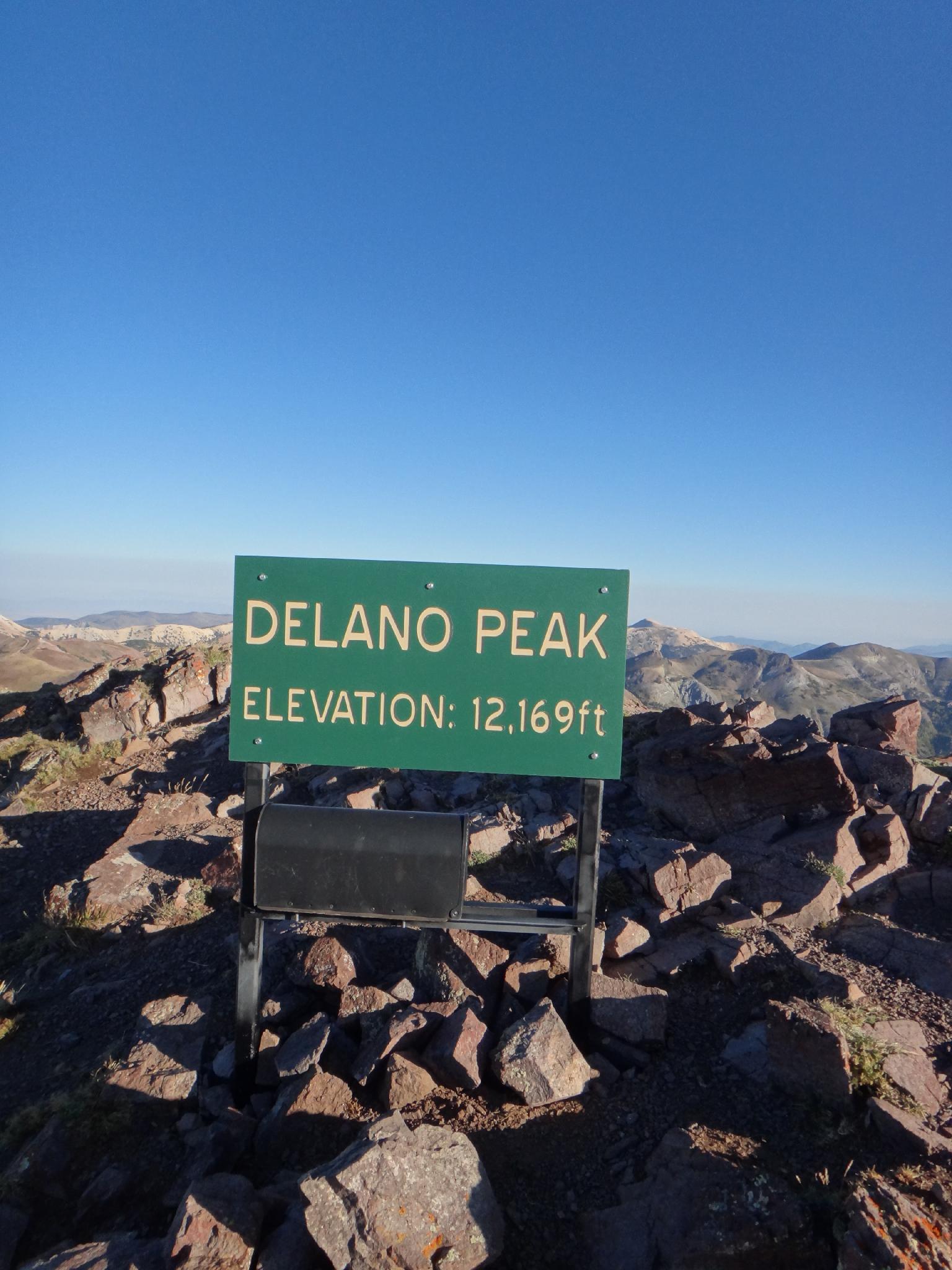
Summit: 3709 m ( 12169 ft. )
Trailhead: 3206 m ( 10519 ft. )
From the trailhead, follow the trail as is climbs steeply up the ridge. The first part of this appears to be an old jeep road, but turns to single track about 1/2 way up. In spots the trail is faint, but generally easy to pickup again. Near the top the trail becomes hard to follow, just head straight up.
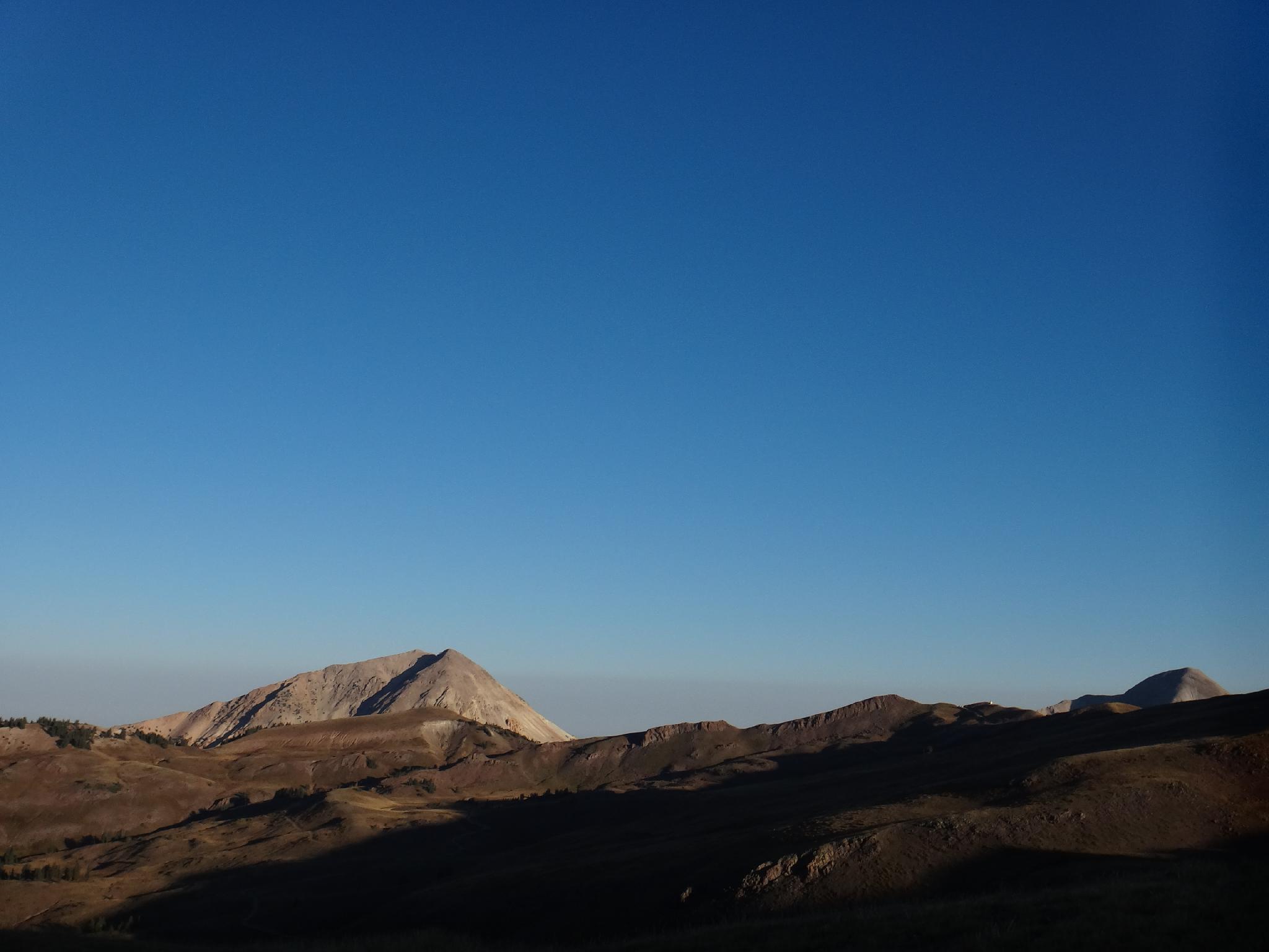
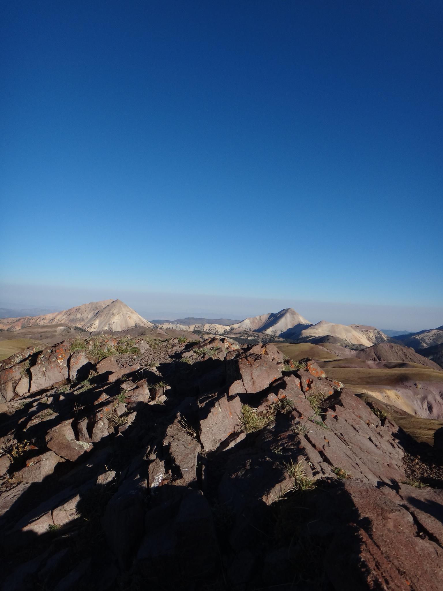
The summit has a large marker and mailbox for a register. If lucky, you'll see the mountain goats hanging out near the summit. To the west, the two most prominent summits are Mount Baldy (left / 3685 m ( 12090 ft. )) and Mount Belknap (right / 3694 m ( 12120 ft. )), with the vast west desert off in the distance behind them.
Photos
Maps

12S 378078E 4247518N
38°22'03"N 112°23'44"W
12S 380193E 4247671N
38°22'09"N 112°22'17"W