 Hiking
Grassy BM
Hiking
Grassy BM
Grassy Mountains
Overview
The West Desert is one of my favorite quick escapes from the hustle and bustle of the Wasatch front when I need a getaway and have limited time. It only takes an hour or so to escape the city and find solitude in the infrequently visited ranges.
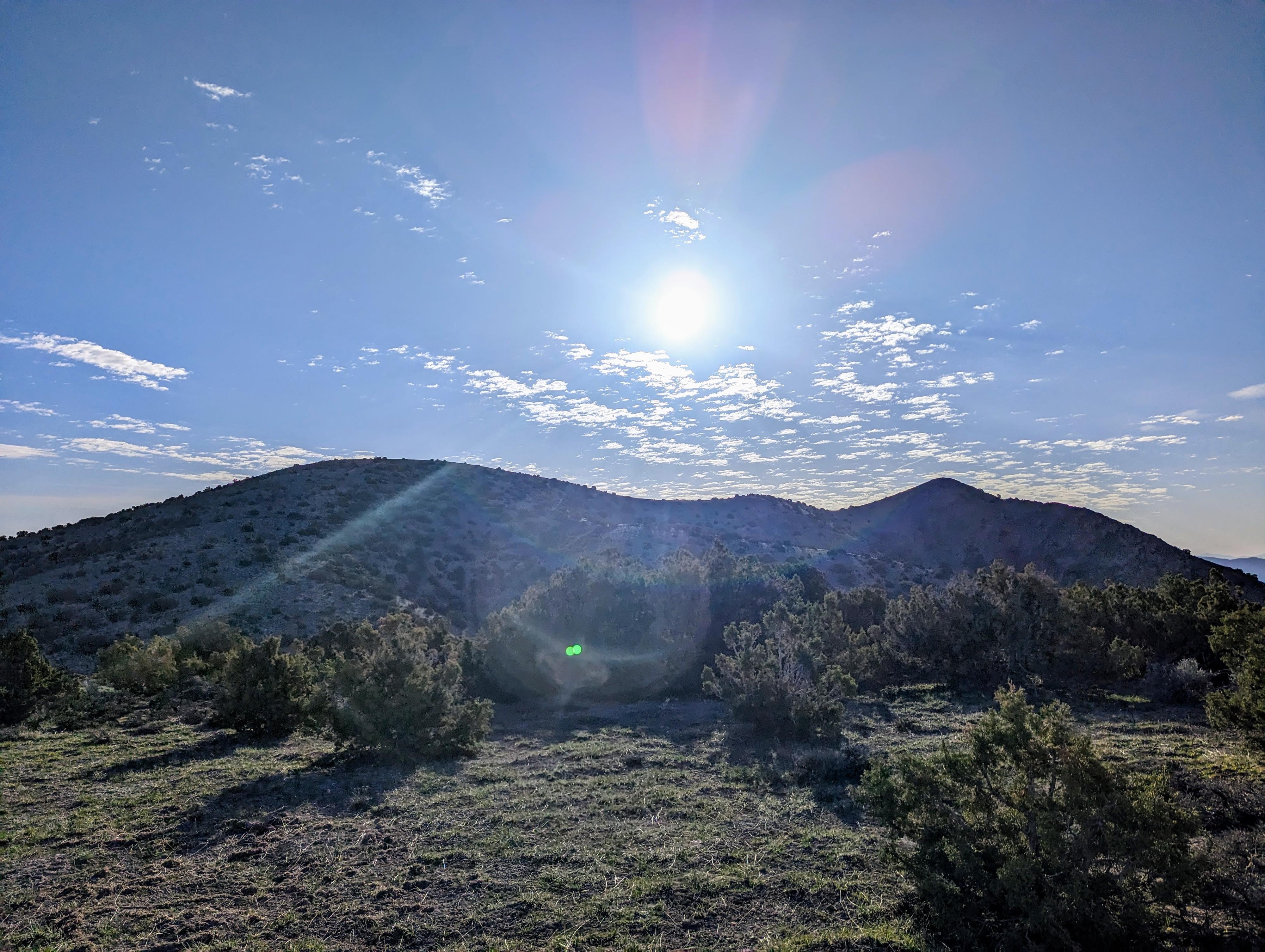
The Grassy Mountain range, just north of I-80, is not particularly dramatic or rugged. Instead, its grassy slopes make for easy hiking and are home to small populations of deer, antelope, and other wildlife. Those with a keen eye may find occasional arrow heads or other archaic remnants, as well as interesting rocks. Just north of the range is the US Military's Utah Test and Training Range, so military flights are also often sighted.
This hike visits the highest point in the Grassy Mountains, the Grassy Benchmark, at an elevation of 6,596' and 1,956' of prominence if you are interested in that statistic. It is a relatively easy drive to the trailhead, and short and easy hike by west desert peak standards.
Getting There
Start by taking exit 62 off of I-80. This is about 40 miles west of Salt Lake City when you are heading west toward Wendover.
Route Description
From the trailhead, you can see the Grassy BM high point to the east. Hike down the hill, then up the other side to the Grassy BM ridge. Follow the ridge south and east to the actual high point and benchmark. The hiking is straightforward, and even the ridgeline is easy going.
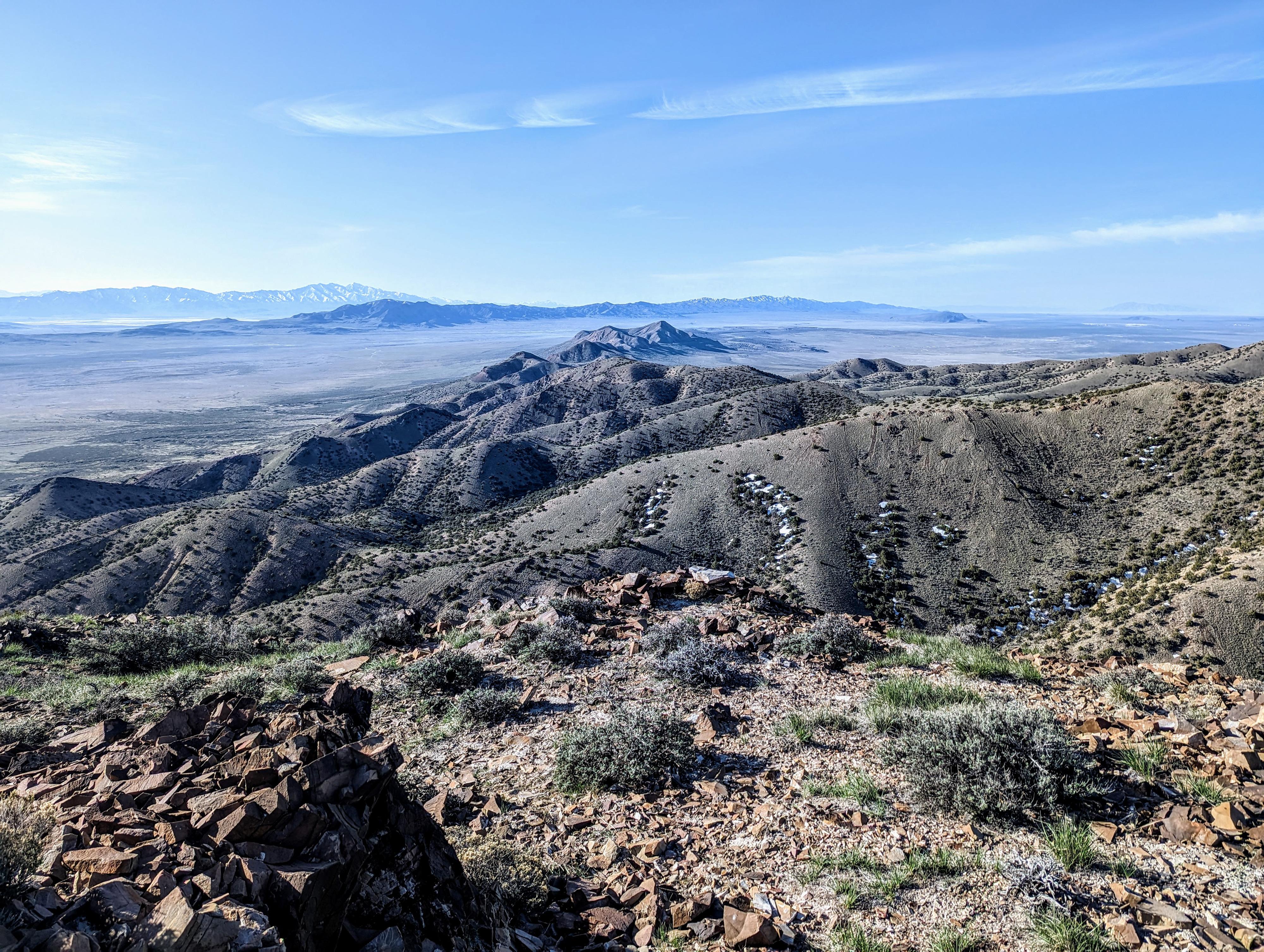
From the benchmark, you can see the Cedar Mountains to the south, and the Newfoundland Mountains to the northwest. The vast flat lands between the ranges in the area is quite striking, particularly when you look north across the barren white lands to the Hogup Mountains.
Return the same way.
Photos
Maps

12T 326542E 4534099N
40°56'23"N 113°03'38"W
12T 327623E 4534000N
40°56'20"N 113°02'52"W