
 Upper Black Dragon Wash
Central Swell
Overview
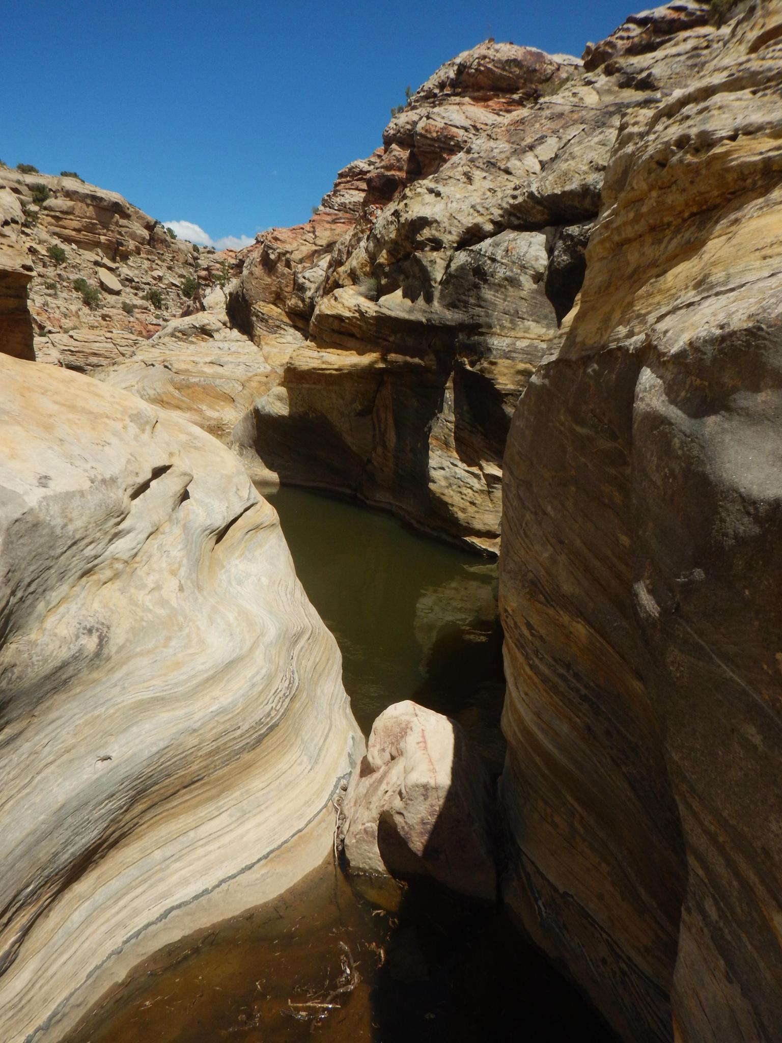
If you are a canyoneer looking for deep, narrow slots, big rappels, and a hardcore adventure, pass on Upper Black Dragon. This short roadside canyon excels in its colors, shapes, and ease of passage. The shallow canyon has, with persistence, routes to scramble out and around any of the obstacles. This ease of escape makes it an excellent place for beginners to practice anchor skills in a low-risk environment.
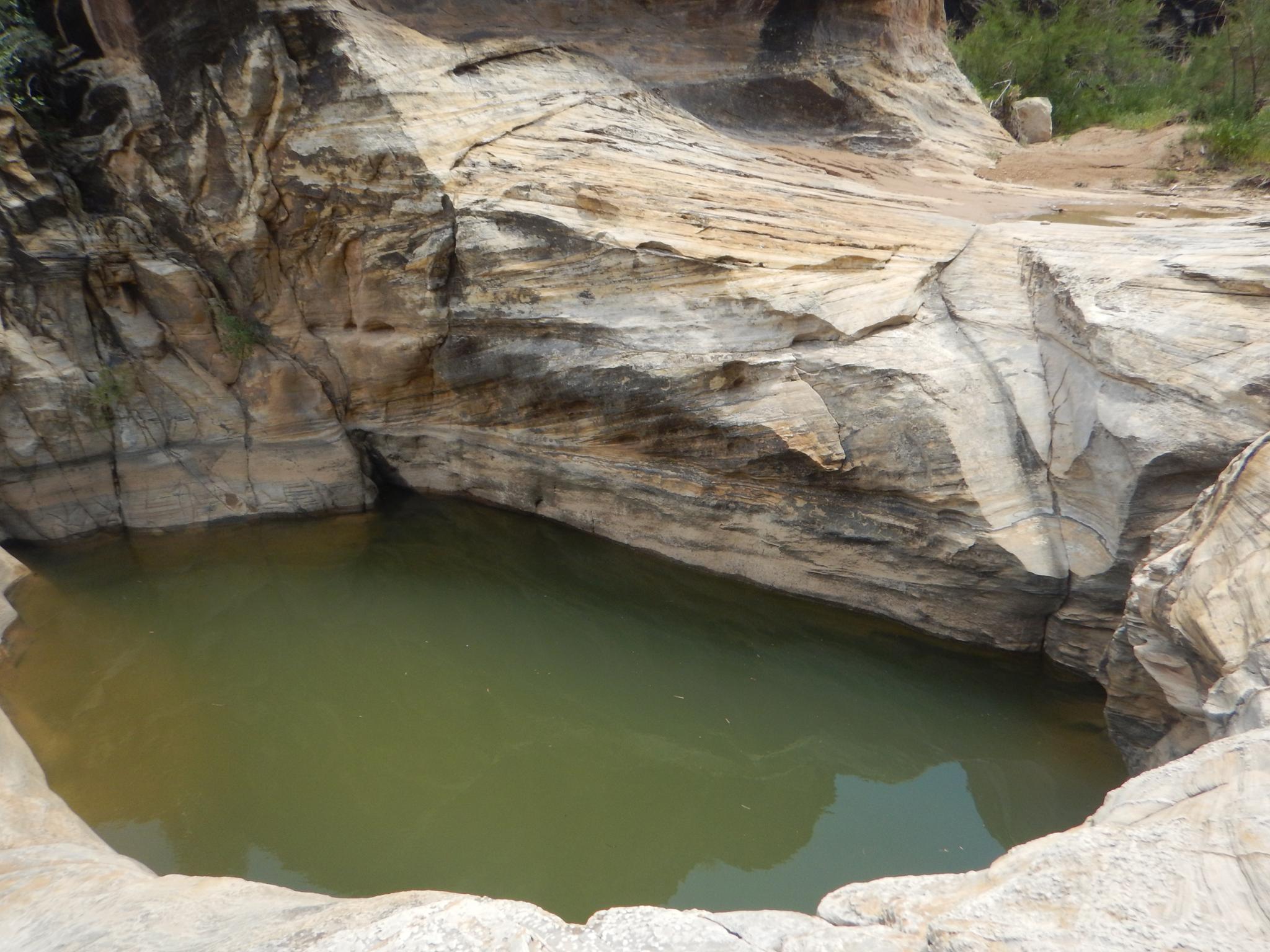
Though confident in my anchor skills, I enjoyed the canyons colors and many pools of this Coconino Sandstone beauty. In wetter and warmer times of the year, it is a water park! Pool after pool to rappel, wade, and romp through. The canyon is open and gets quite a bit of sun. No wetsuit required unless cool/cold temperatures.
Getting There
From Green River, travel west on I-70 about 42 miles to the signed Black Dragon Canyon Viewpoint. The viewpoint has a large parking area and restroom. This is at mile marker 142.8. There is no access if traveling eastbound on I-70.
Route Description
Approach (30 minutes / 0.8 miles)
The approach is made trickier by the barb wire fence. The easiest route to walk would crisscross the fence, but nobody wants to cross the fence more than once!
From the parking area, skirt around the fence, then follow the rim of the canyon southwest. It is generally most comfortable to stay high but within sight of the canyon. You will cross several shallow drainages. After about a half mile (15 minutes), the canyon starts to become more shallow. If you see the green mileage sign on the highway, I recommend dropping into the canyon about the time you see the sign. Scramble down in, putting you right about the start of the pools.
Canyon (0.65 miles)
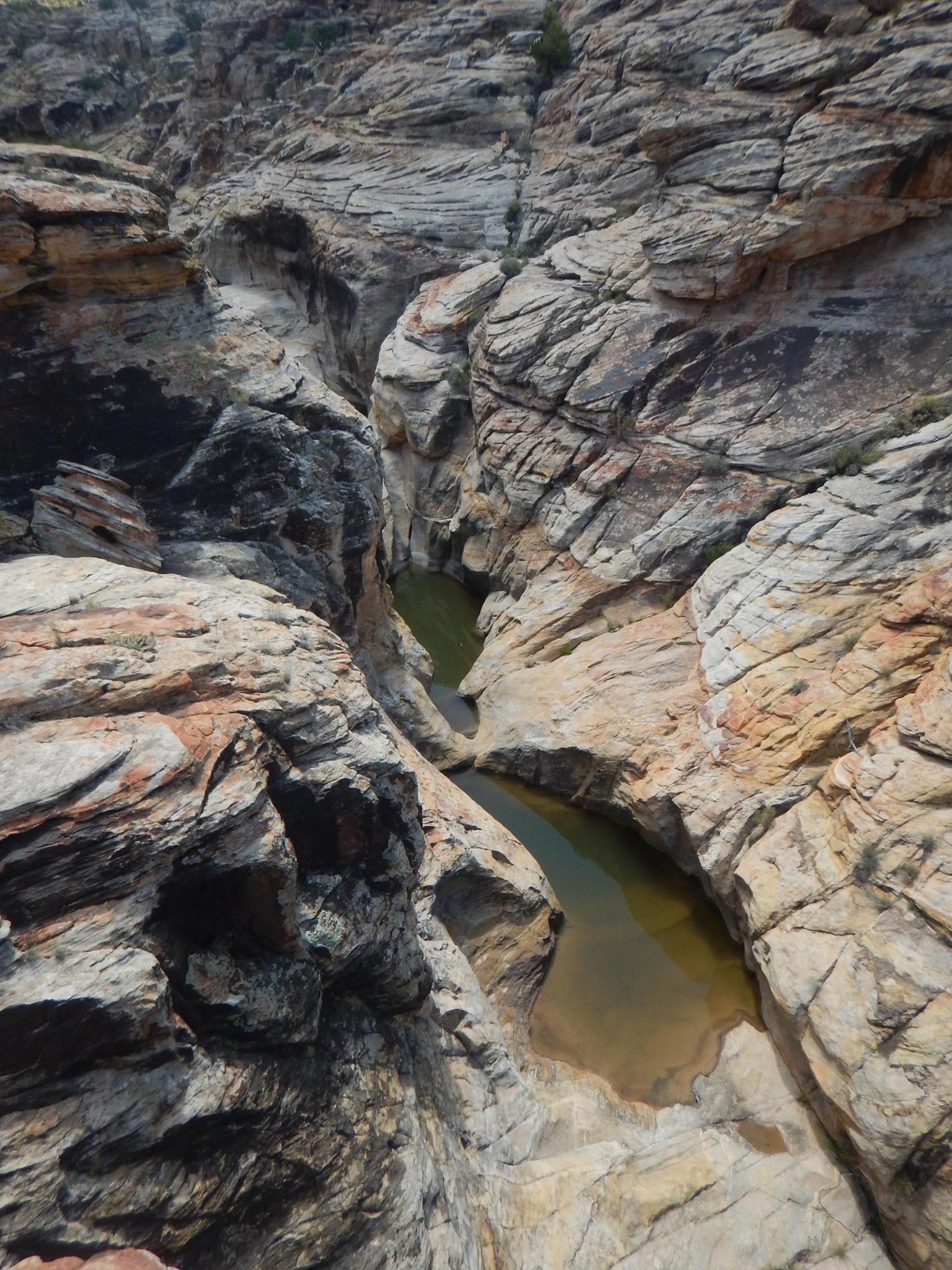
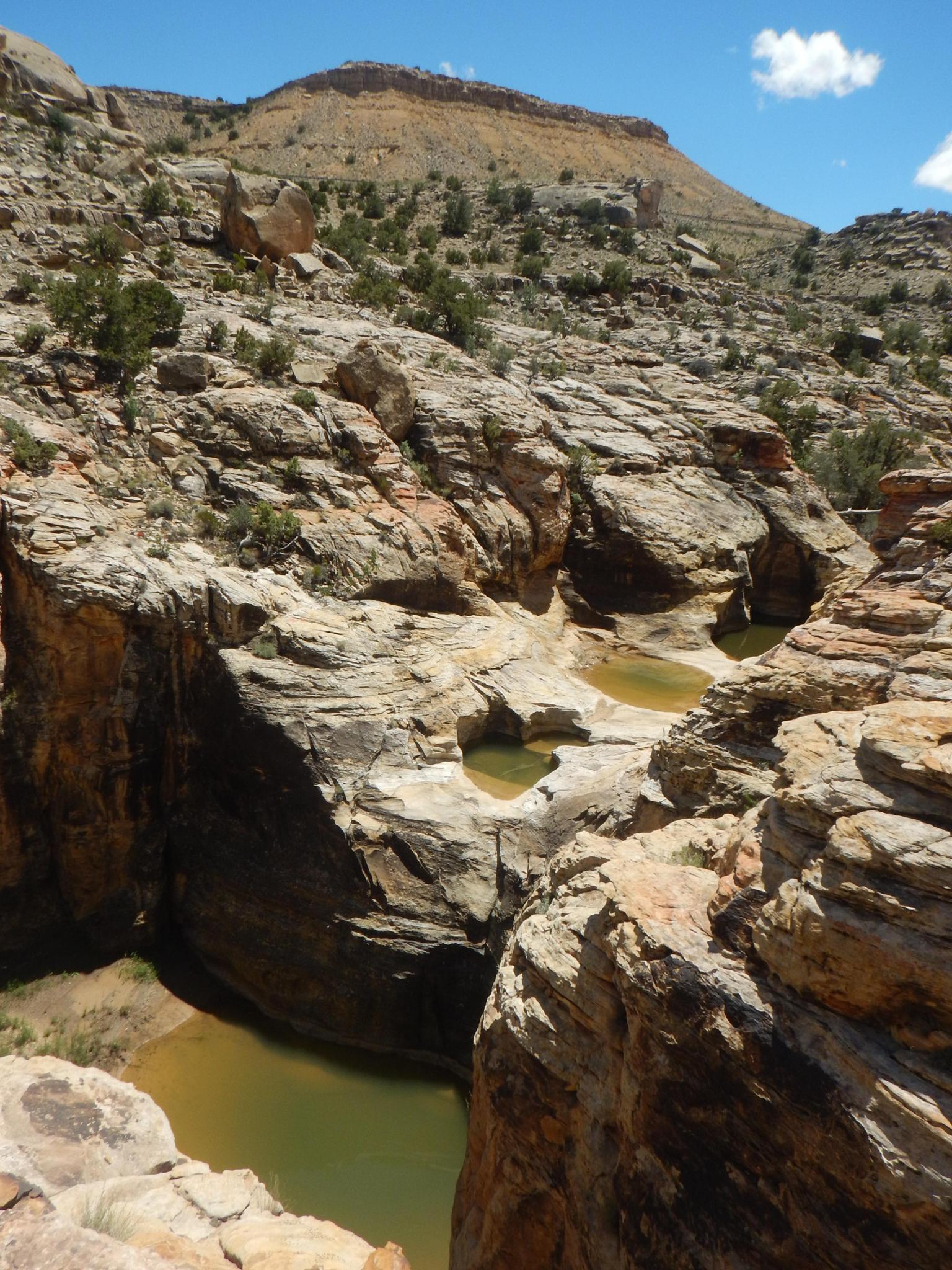
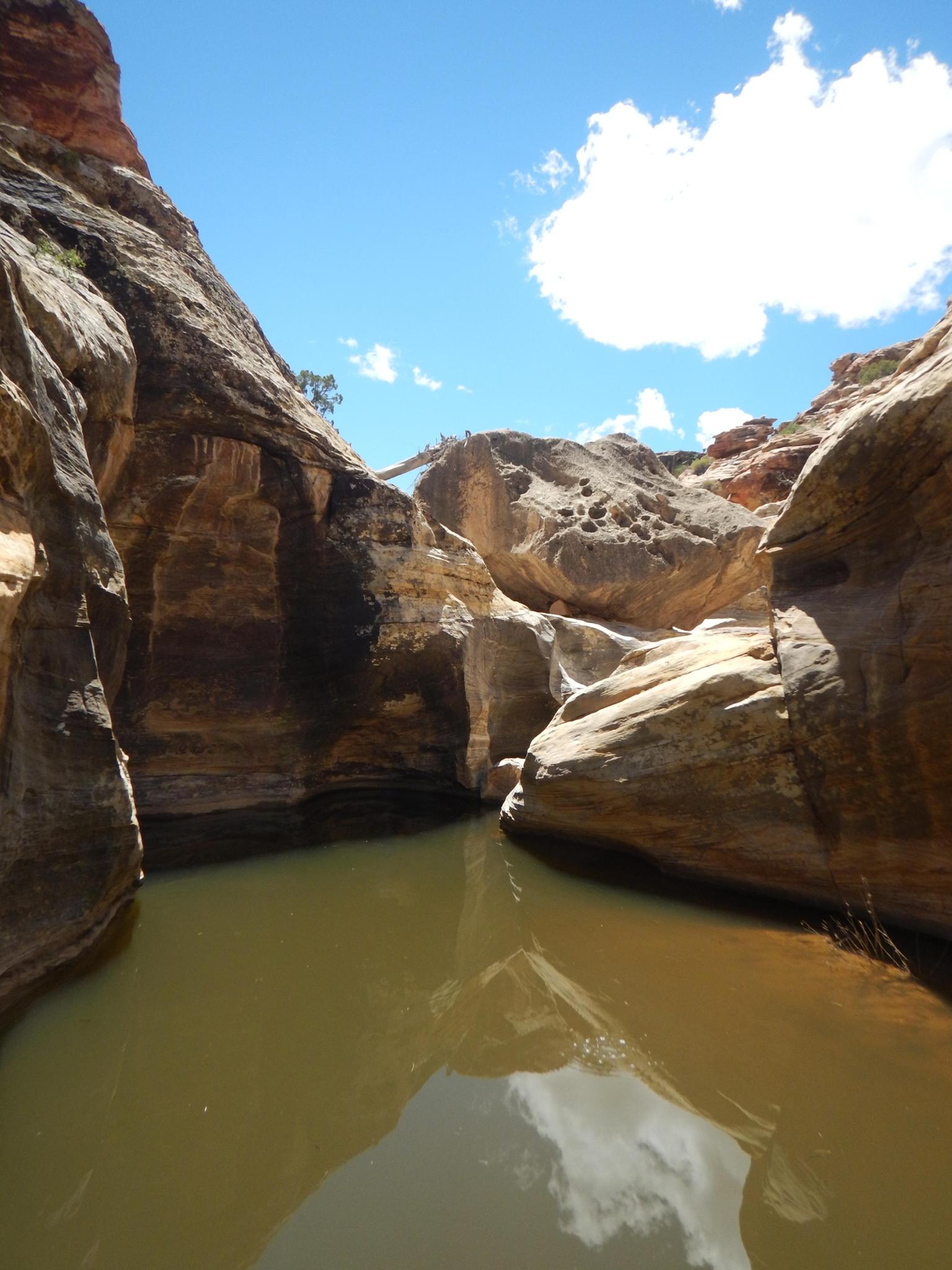
Head down the canyon! Shallow pools are curved narrows abound as the canyon slowly deepens and becomes more entrenched.
Soon a couple of downclimbs and possible keepers present the first obstacle. These are easy to attack directly or bypass.
R1 - 4 m ( 14 ft. ) - Into potential keeper.
R2 - 10 m ( 33 ft. ) - There are two pools before this drop that could potentially be keeper potholes. Bypassable on the left if needed.
R3 - 25 m ( 83 ft. ) - The drop is only about 15 m, but you will likely use an anchor 10 m ( 33 ft. ) back from the drop.
R4 - 15 m ( 50 ft. ) - Anchor high and right seemed the most convenient.
Below R4 is a short 3 m ( 10 ft. ) downclimb that looks harder than it is. This drop is an excellent place to practice spotting or bypass on the right.
Continue down with the view area becoming visible soon. Climb out anywhere convenient.
Photos
Maps

12S 544818E 4310225N
38°56'23"N 110°28'58"W
12S 544001E 4309587N
38°56'03"N 110°29'32"W
12S 544213E 4309808N
38°56'10"N 110°29'23"W
12S 544261E 4309870N
38°56'12"N 110°29'21"W
12S 544298E 4309908N
38°56'13"N 110°29'20"W
12S 544354E 4309935N
38°56'14"N 110°29'18"W
12S 544539E 4310173N
38°56'22"N 110°29'10"W
12S 544678E 4310213N
38°56'23"N 110°29'04"W