Beaver Dam Wash | Lowest Point In Utah

Hiking Beaver Dam Wash - Lowest Point In UtahRoadside Attraction Beaver Dam Wash - Lowest Point In Utah Beaver Dam Wash

Lowest Point In Utah

Overview

RATING: Easy Hike
LENGTH: 1+ hours

Thu

Sunny, with a high near 108. South wind 5 to 10 mph, with gusts as high as 18 mph.

108 | 82

Fri

Sunny, with a high near 107. Southeast wind 6 to 10 mph, with gusts as high as 18 mph.

107 | 77

Sat

Sunny, with a high near 106.

106 | 79

Sun

Sunny, with a high near 107.

107 | 79

Mon

Sunny, with a high near 108.

108 | 80

View Full Weather Details
SEASON: Any, hot in summers.
GEAR: Standard Hiking Gear

Thu

Sunny, with a high near 108. South wind 5 to 10 mph, with gusts as high as 18 mph.

108 | 82

Fri

Sunny, with a high near 107. Southeast wind 6 to 10 mph, with gusts as high as 18 mph.

107 | 77

Sat

Sunny, with a high near 106.

106 | 79

Sun

Sunny, with a high near 107.

107 | 79

Mon

Sunny, with a high near 108.

108 | 80

View Full Weather Details
Dawn in Beaver Dam Wash

Dawn in Beaver Dam Wash

Beaver Dam Wash is, at least in my mind, known for one thing, it is the lowest point in Utah. Having done Kings Peak, the highest point in Utah, the county highpoints, and a moderate smattering of other peaks around the state, I could not resist visiting the lowest point while passing near the area.

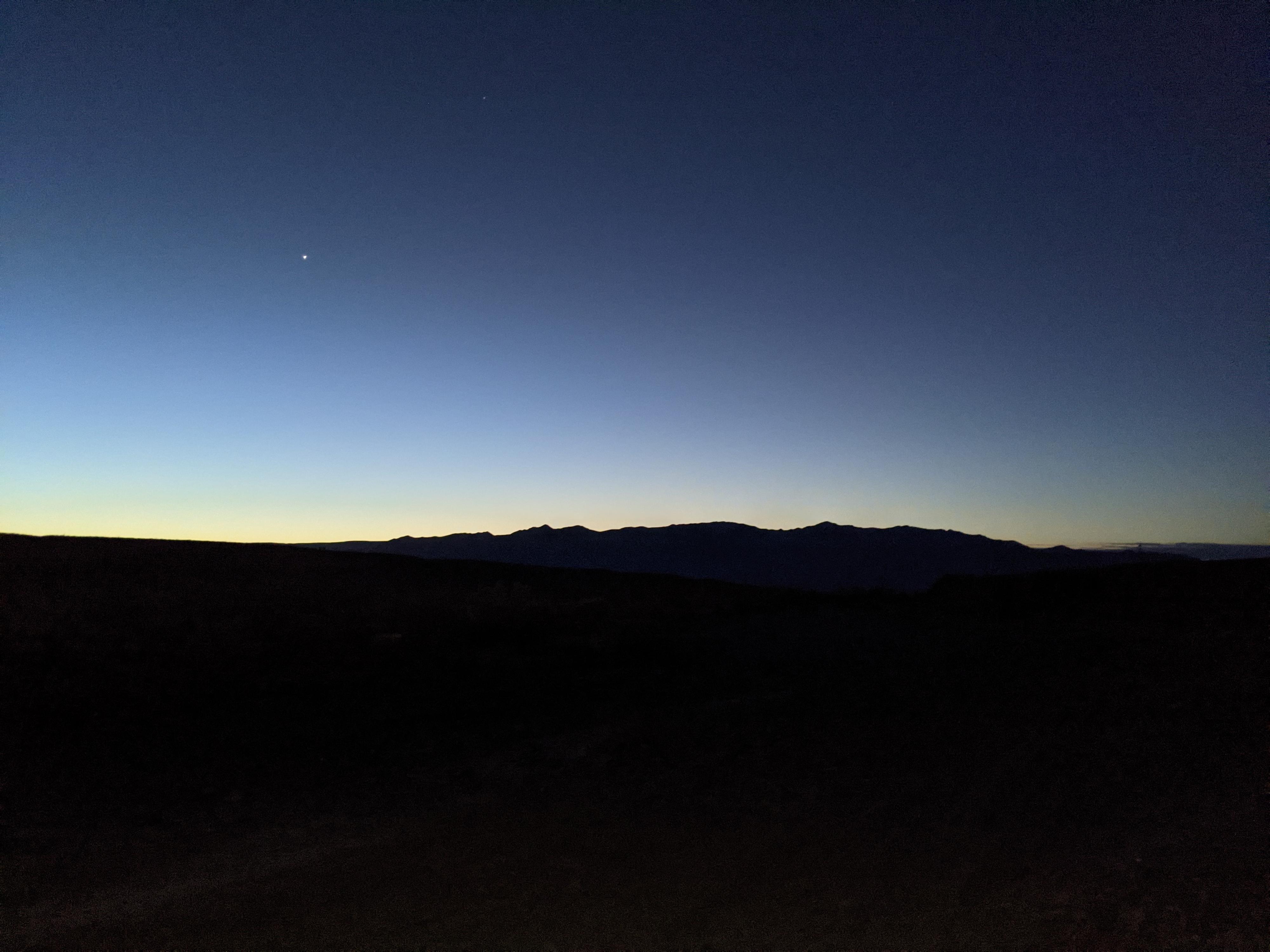
The lowest point is along the Utah/Arizona border, near to the town of Littlefield AZ. Though I had read it could be a bit of a walk, those with a four-wheel drive, some sand driving skills, and good conditions can easily drive to it. This is an outing with open, yet somewhat bland scenery and no particularly outstanding features. Am I glad I visited? You bet! An easy spot to visit, it is an interesting contrast to the many peaks in Utah, and it was, literally, the low point of my trip.

Note: The area is surprisingly well-travelled, with a good 4x4 road driving to, and across the state line at the low spot. High clearance, or even moderate clearance vehicles can get to Beaver Dam Wash, about 2 miles from the low point one way. With a four-wheel drive or ATV, it is easy to drive to the low spot. Beware of sand conditions though, there are many opportunities to get a vehicle stuck here. The wash is braided with roads, stay on the most used, and do not stop in the sandy sections! The sand is easier in the winter when it tends to firm up a bit with moisture and cooler temps. Very reasonable to walk as well if you visit in the cooler times of the year.
The Utah/Arizona dividing fence.

The Utah/Arizona dividing fence.

Getting There

From exit 8 on I-15 in Arizona (Littlefield exit), travel north on AZ-91 for about 6.7 miles to a side road on the left (west) side of the road. This is just BEFORE AZ-91 goes under a large power line. Reset your odometer as you turn off pavement.

  • Turn Off AZ-91 ( 12S 240162E 4097407N / 36°59'13"N 113°55'10"W )
  • 3.1 miles - Beaver Wash Jct ( 12S 235356E 4097179N / 36°59'01"N 113°58'24"W )
  • 3.75 miles - Jct - Right ( 12S 234558E 4096627N / 36°58'42"N 113°58'55"W )
  • 4.0 miles - Beaver Wash ( 12S 234137E 4096578N / 36°58'40"N 113°59'12"W )
  • 6.1 miles - Lowest Point(ish) ( 12S 233056E 4099114N / 37°00'01"N 113°59'59"W )
Typical Beaver Dam Wash

Typical Beaver Dam Wash

Route

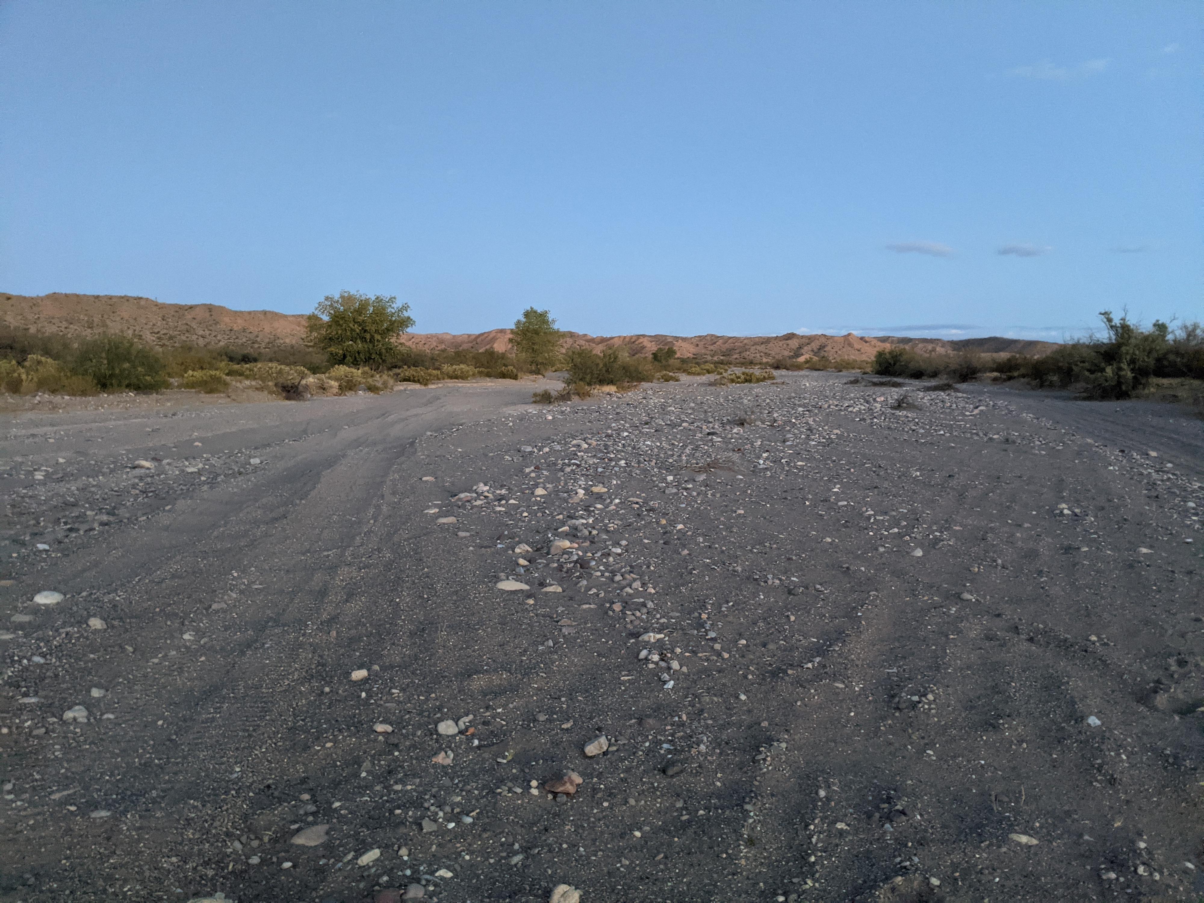
From where the road reaches Beaver Dam Wash, turn right (north) up the wash. The road is, at least on my visit, a mix of very washboard and sandy sections intermixed with more consolidated gravel and dirt sections. The many roads braid across the wash, but if you stay in the wash bottom, you are headed in the right direction.

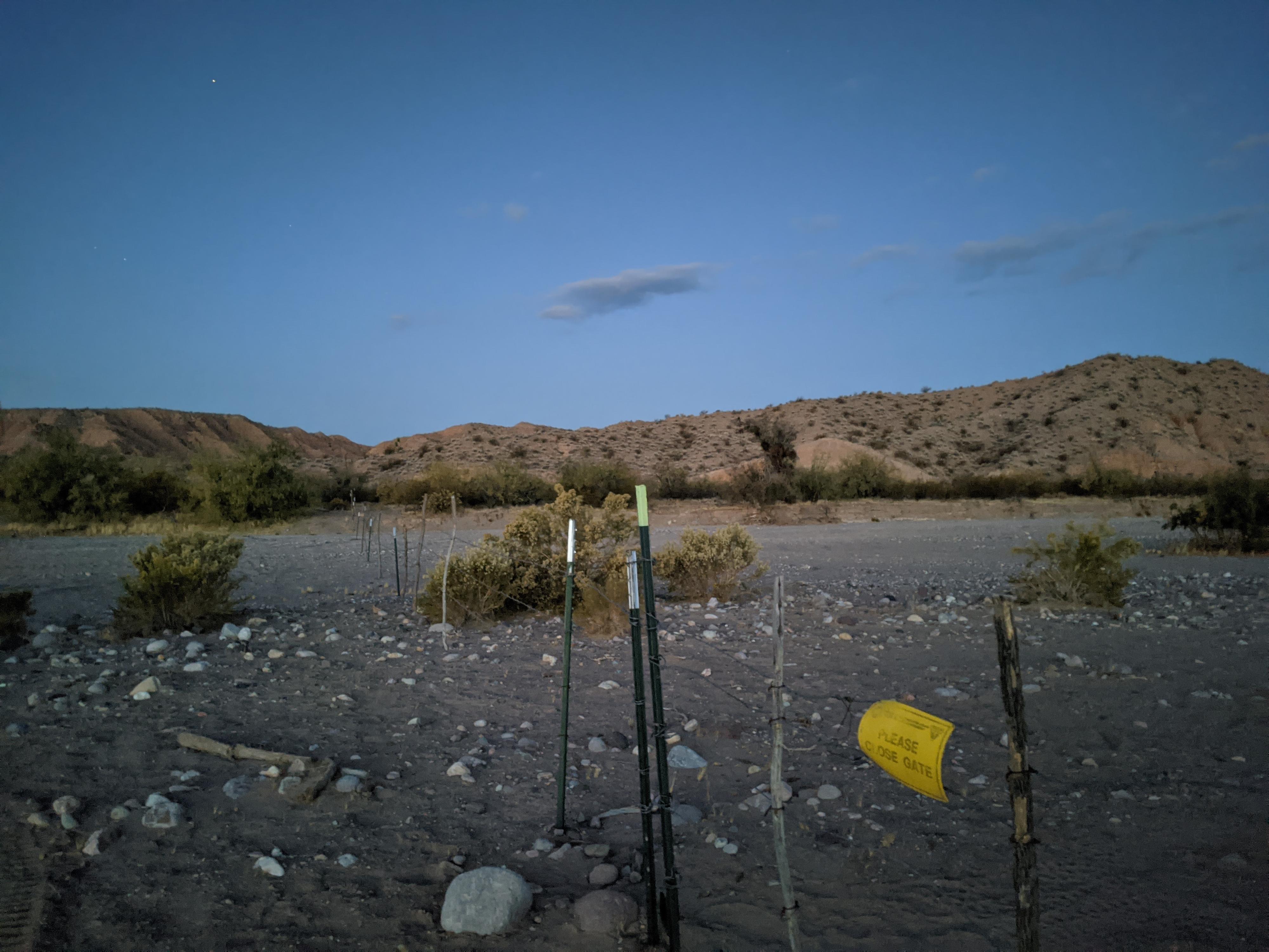
It is about 2 miles from where the road reaches Beaver Dam Wash to the Arizona/Utah state line. The site is unceremoniously marked with a barb wire fence and a gate in the center. Floods change the gravel levels, but the low spot is the lowest spot you can find in the wash along the fence. It is generally considered to be about 2,178’ above sea level. This spot is also likely the hottest spot in Utah, given its about 600’ lower than St. George which set the record for hottest spot in Utah at 117 F in July of 1985.


Photos

Maps

Printable Maps:

Beaver Wash

12S 234137E 4096578N

36°58'40"N 113°59'12"W

Lowest Point(ish)

12S 233056E 4099114N

37°00'01"N 113°59'59"W

Comments

Want to make a comment? Login and let yourself be heard.