
 Kanarra Creek
Kanarraville
Overview
Kanarra Creek has blossomed in recent years as a family friendly narrows hike, and with good reason. The hike is short, easy, and has several stunning sections and waterfalls. Though the hike can be done year around, there is much wading. In winter and spring when the weather is cold (and flows higher in the spring), neoprene socks would be required to keep feet from freezing. In the heat of the summer, this provides a welcome respite from the heat. A must do if your traveling by on Interstate 15 near the sleepy town of Kanarraville.
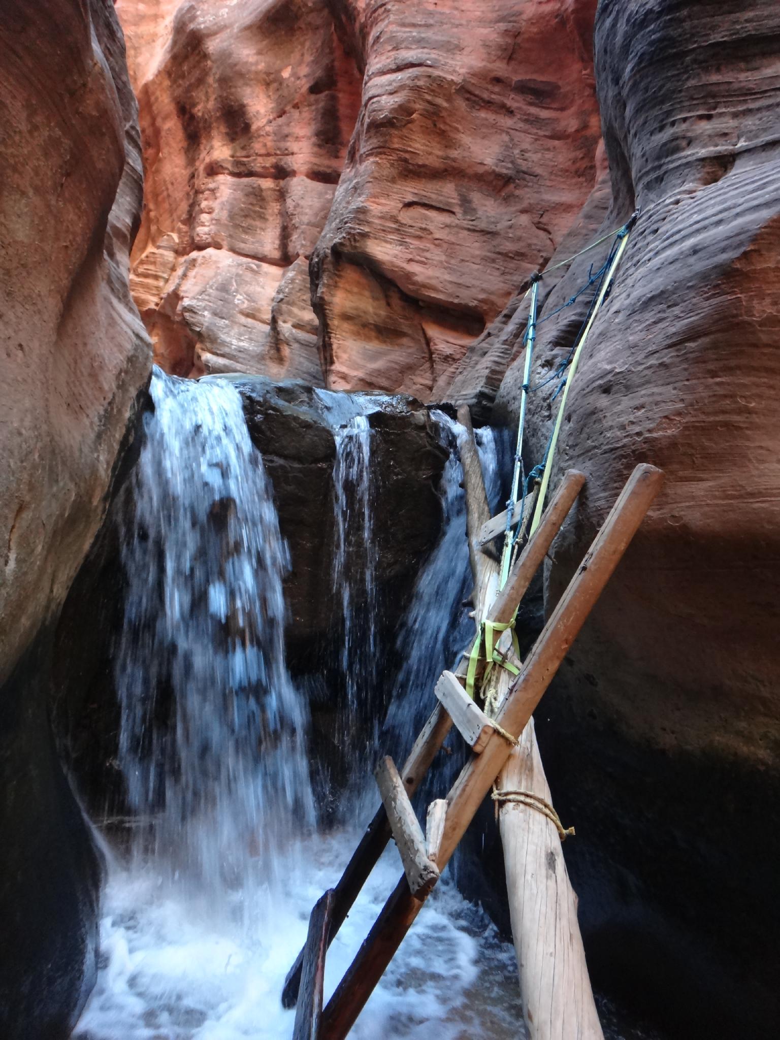
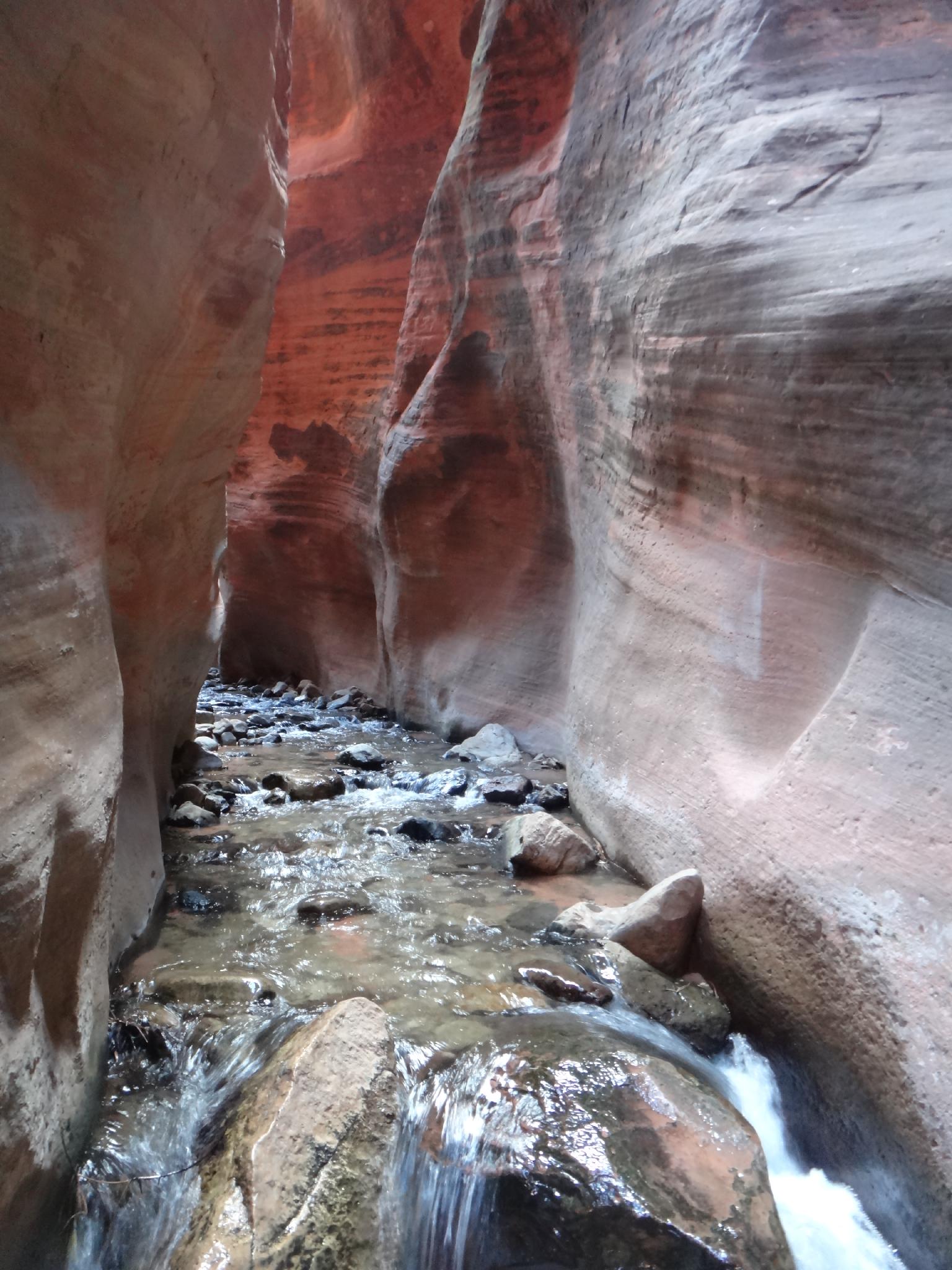
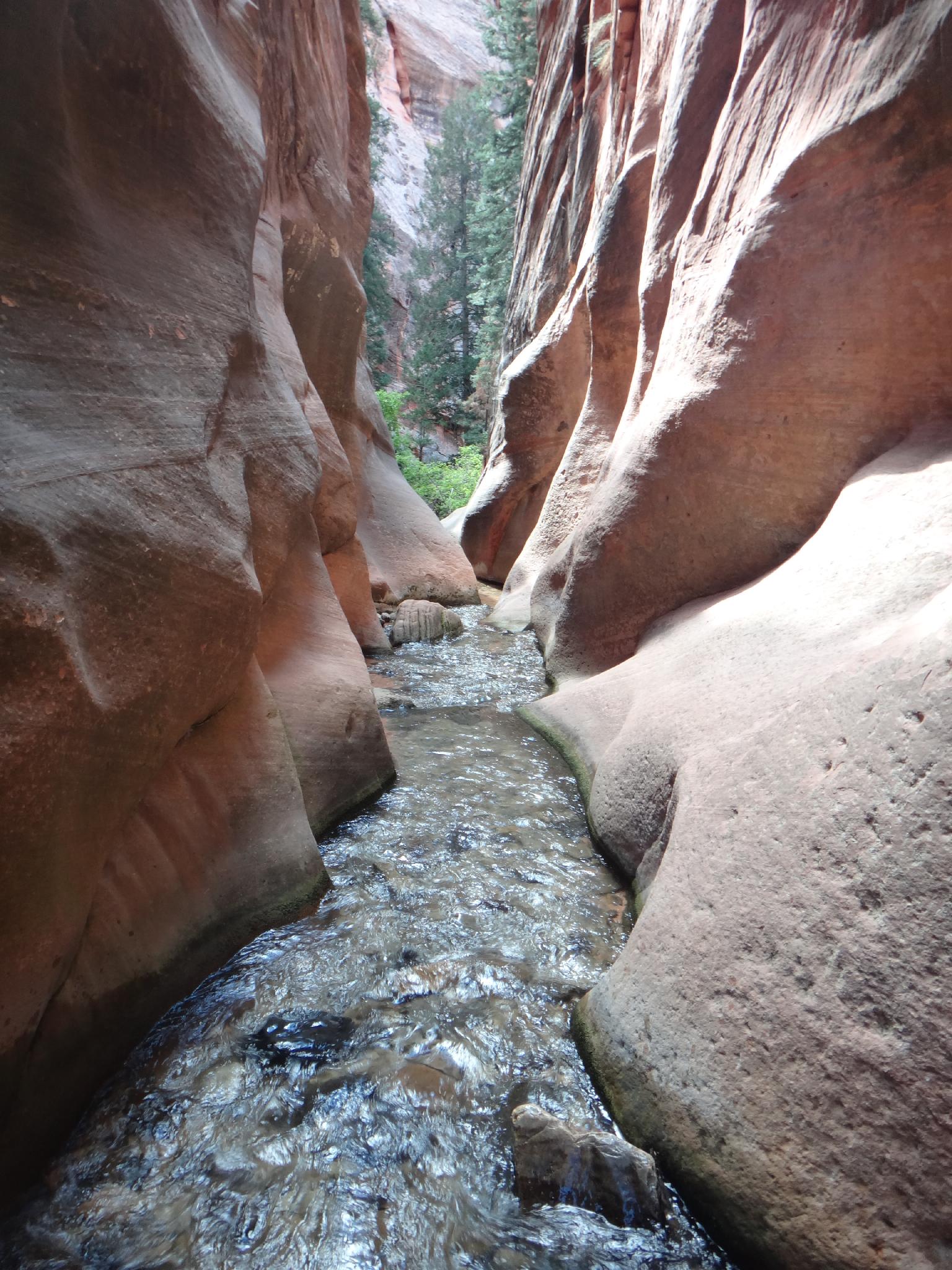
The hike itself meanders up a dirt road about 1.5 or so miles before reaching a stunning section of slot where the creek has cut through the sandstone layers. Families may wish to stop in this section at the first waterfall. Those with a sense of adventure can climb a generally in place and generally good ladder above the falls and continue to a second falls in the upper section.
Getting There
The trailhead is in Kanarraville City, reached via Exit 51 off of Interstate 15 just south of Cedar City if coming from the north or Exit 42 if coming from the south.
Once in Kanaraville, turn east on 100 North and follow the road to a large, signed parking area on the left before the road turns to dirt. This is the trailhead.
Route Description
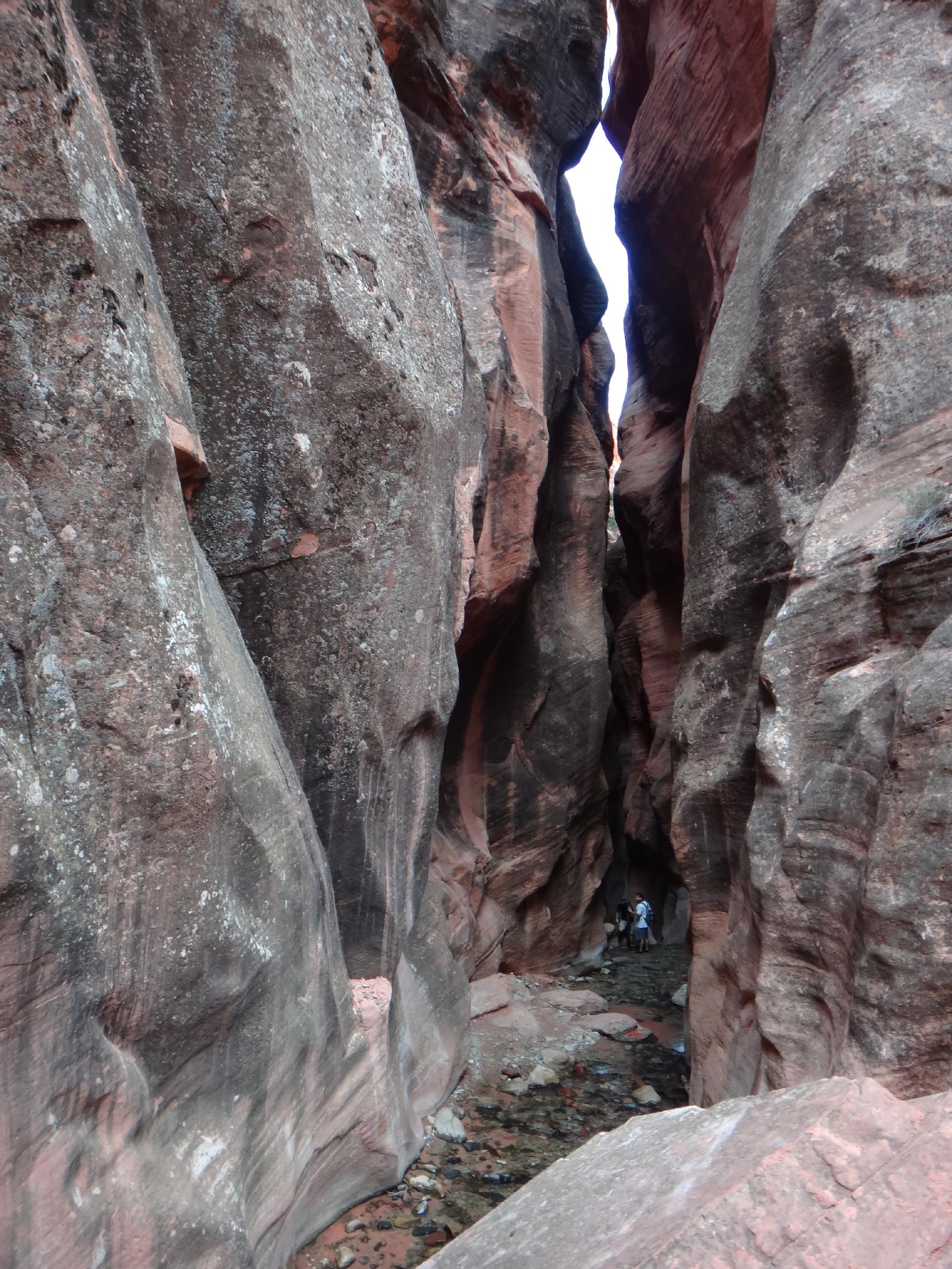
From the parking area, follow the dirt road. It passes water tanks, then criss-crosses Kanarra Creek a few times before ending at a fenced area in about a mile. From here, the trail is a well trod single track. It crosses the stream many times, or just plod up the stream.
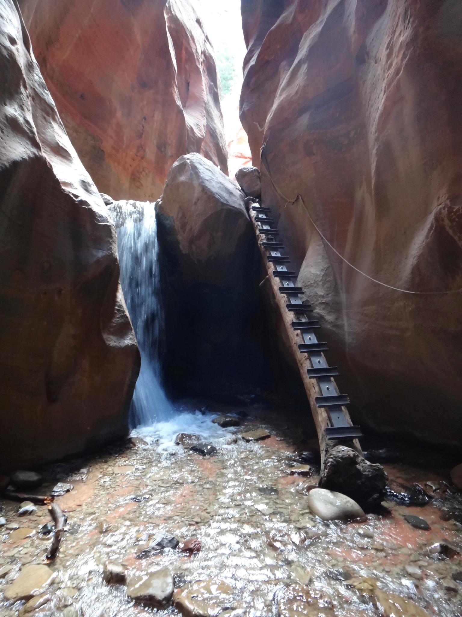
In 40-50 minutes, the canyon narrows as it enters a sandstone slot section. Magnificent! The first waterfall is just up this section and (as of 2014) has a good ladder and rope hand line to surmount. Above the first falls, another falls is easily passed on the right as the canyon opens a bit, but is still pretty.
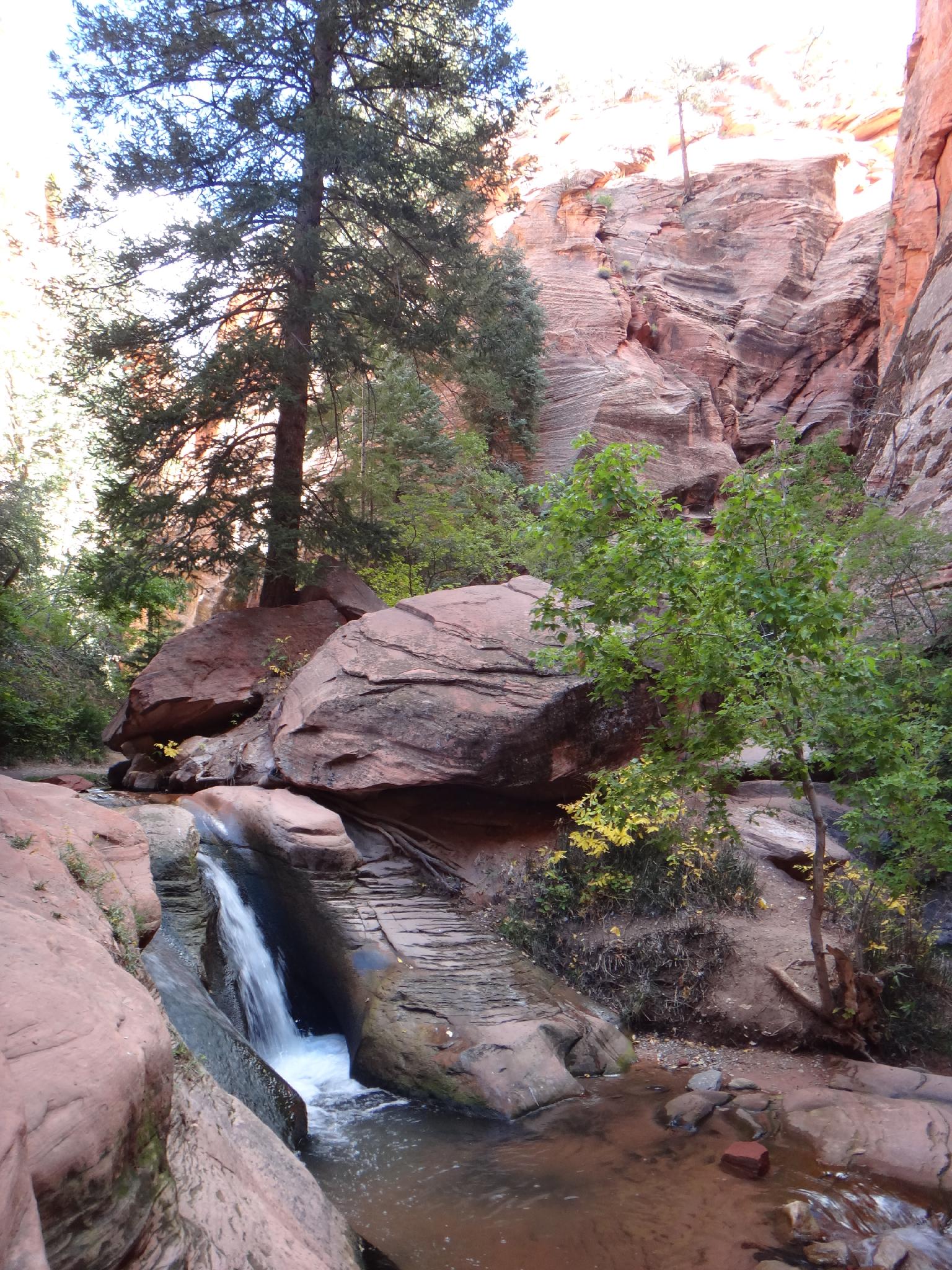
The canyon closes down a second time just before the second waterfall. This section is equally magnificent! The ladder up the second falls left something to be desired (in 2014), but was passable. The canyon stays pretty for a short way above the second falls before opening more and becoming more and more bushy. Return the same way.
Photos
Maps

12S 307783E 4156745N
37°32'16"N 113°10'32"W
12S 309216E 4156711N
37°32'16"N 113°09'34"W