 Hiking
Signal Peak
Hiking
Signal Peak
Washington County Highpoint
Overview
Check the Dixie National Forest alerts page to make sure the road to Oak Grove Campground is open. Occasionally during high summer, it is closed due to fire danger.
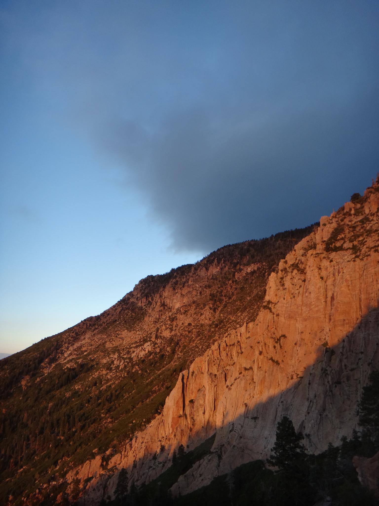
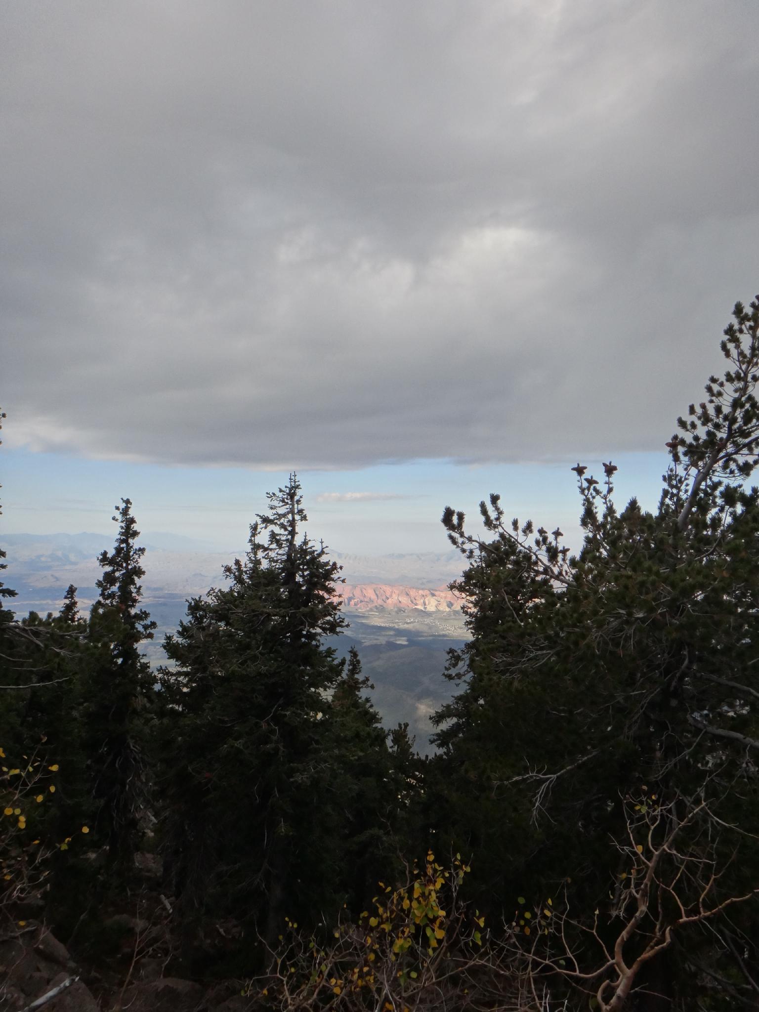
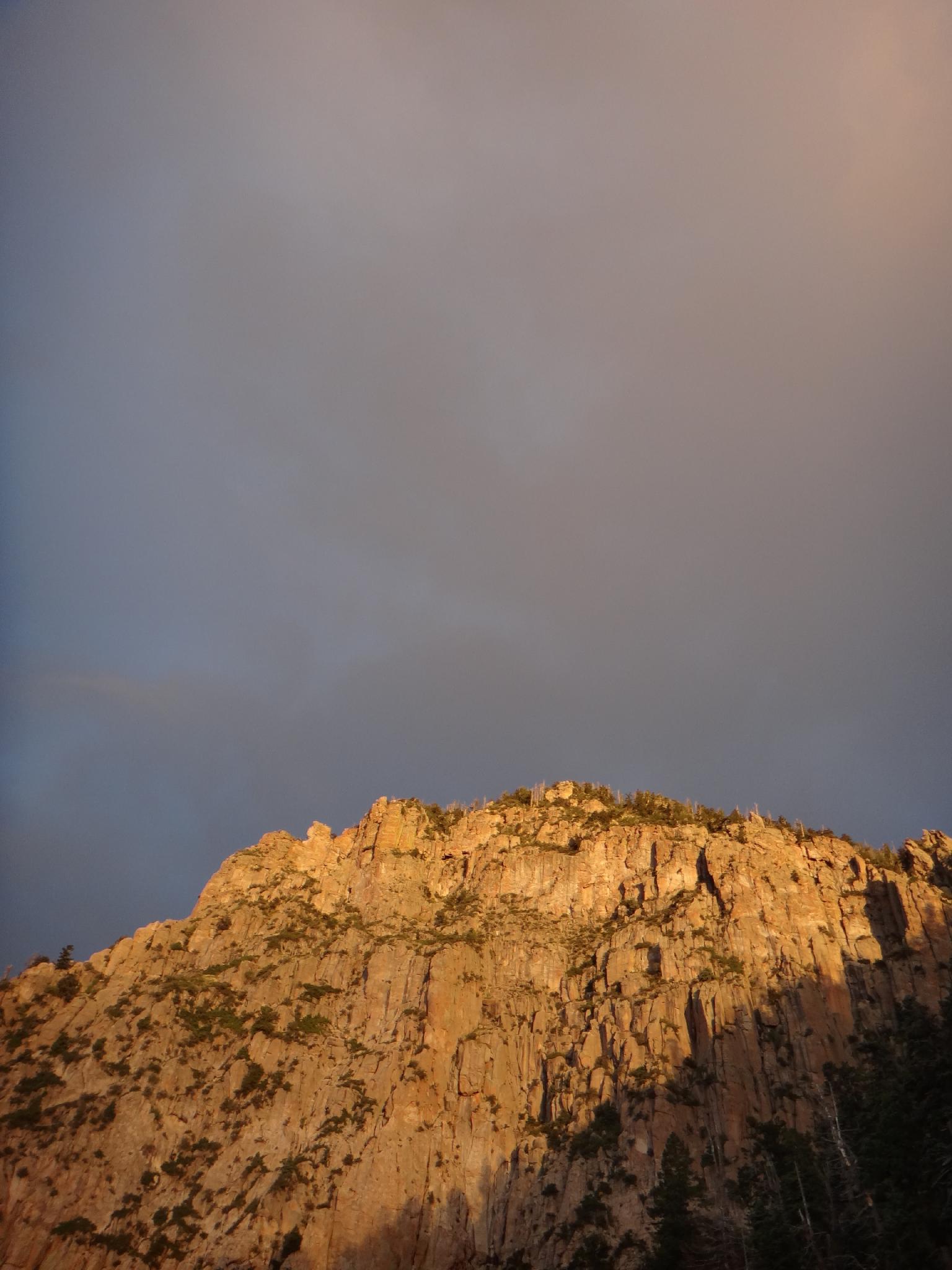
Signal Peak, in the Pine Valley Mountains, is the Washington County highpoint, as well as the Pine Valley Mountains highpoint. The peak is not as dramatic as many in Utah, but the views of the surrounding desert and St. George area makes this a very worthwhile hike. The route climbs steeply for the first 2.5 miles in full morning sun, so start early in the summer. Once on the mesa, it is a pleasant meander to the peak.
Historical Note: The peak was named when signals were placed on it during World War II to help guide planes.
Getting There
If traveling from the north on I-15, take exit 23 toward Leeds/Silver Reef. If traveling from the south, take exit 22, and follow main street 1.5 miles to Silver Reef Dr. Turn left onto Silver Reef Drive and go under the highway.
(Both routes) From the highway, follow Silver Reef Drive west for about a mile Silver Reef Drive becomes Oak Grove Rd. Continue on it. At about 1.6 miles, the road turns to dirt and enters National Forest after crossing a bridge. Reset your odometer here.
Stay right, on the main road, just after the bridge and follow it as it ascends up the hill. At 1.5 miles, is a junction. Go right, and follow the road to its end (7.0 miles) at the Oak Grove Campground. There is good camping at this small campground, and a few primitive sites before reaching the campground.
Route Description
Summit: 3159 m ( 10365 ft. )
Trailhead: 1990 m ( 6529 ft. )
From the trailhead, follow the trail a few minutes to where the summit trail branches off on the right. In 2014, this was not signed, but easy to spot. It actually looks a bit like a wash and starts off a bit boulder strewn. Charge up the hill! It is about 2.5 miles and whopping 3200' gain to the rim.
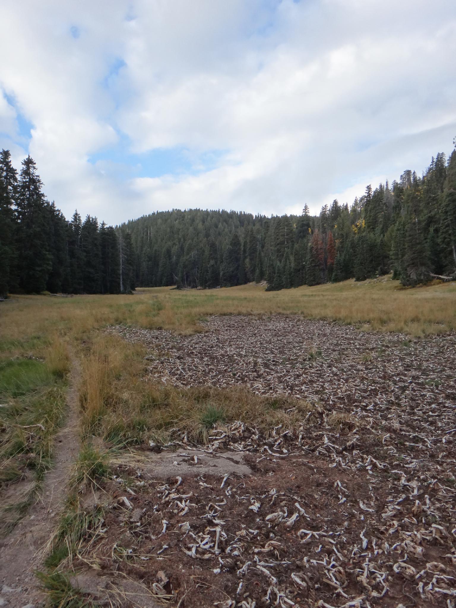
One on the rim, the trail descends and meets up with the Summit Trail. Go left on the summit trail as it climbs and descends to Further Water. If there is water, it will be here. Cross the meadow and begin climbing. Signal peak is to the south of the trail here. Leave the trail at a large cairn (or anywhere convenient) and work up to the rim.
The peak is a tree covered, with cairns leading a path to a register near the edge. The summit offers good views of St. George and surrounding desert areas,
Maps

12S 282629E 4132878N
37°19'02"N 113°27'11"W
12S 281092E 4134417N
37°19'50"N 113°28'15"W
12S 279143E 4133216N
37°19'10"N 113°29'33"W