 Weeping Rock
Zion Main Canyon
Overview
|
Tue 56 | 31 |
Wed 58 | 33 |
Thu 59 | 35 |
Fri 62 | 35 |
Sat 63 | 39 |
| View Full Weather Details | ||||
|
Tue 56 | 31 |
Wed 58 | 33 |
Thu 59 | 35 |
Fri 62 | 35 |
Sat 63 | 39 |
| View Full Weather Details | ||||
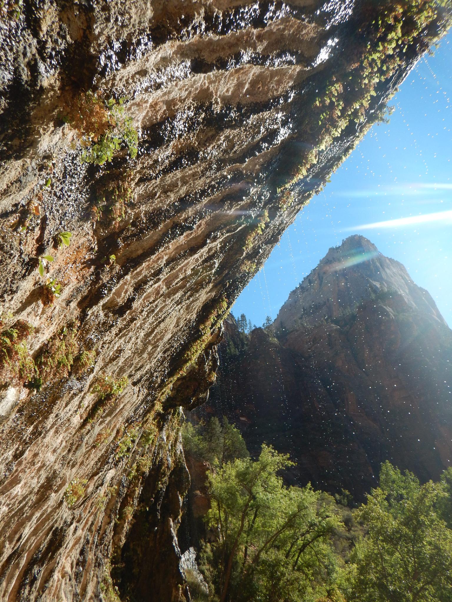
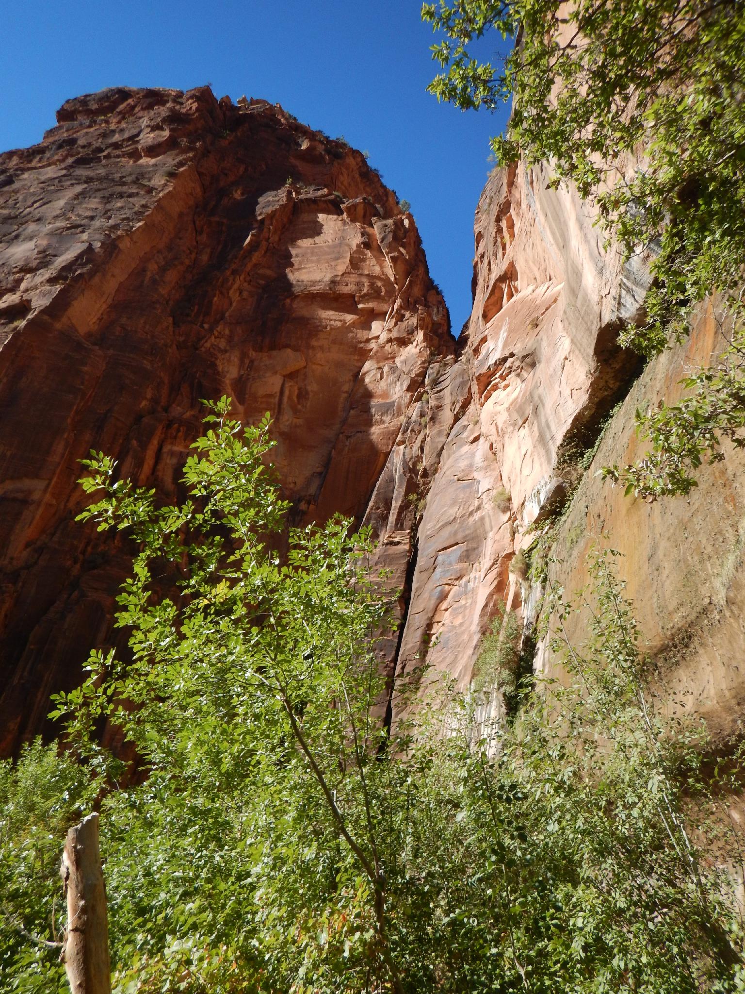
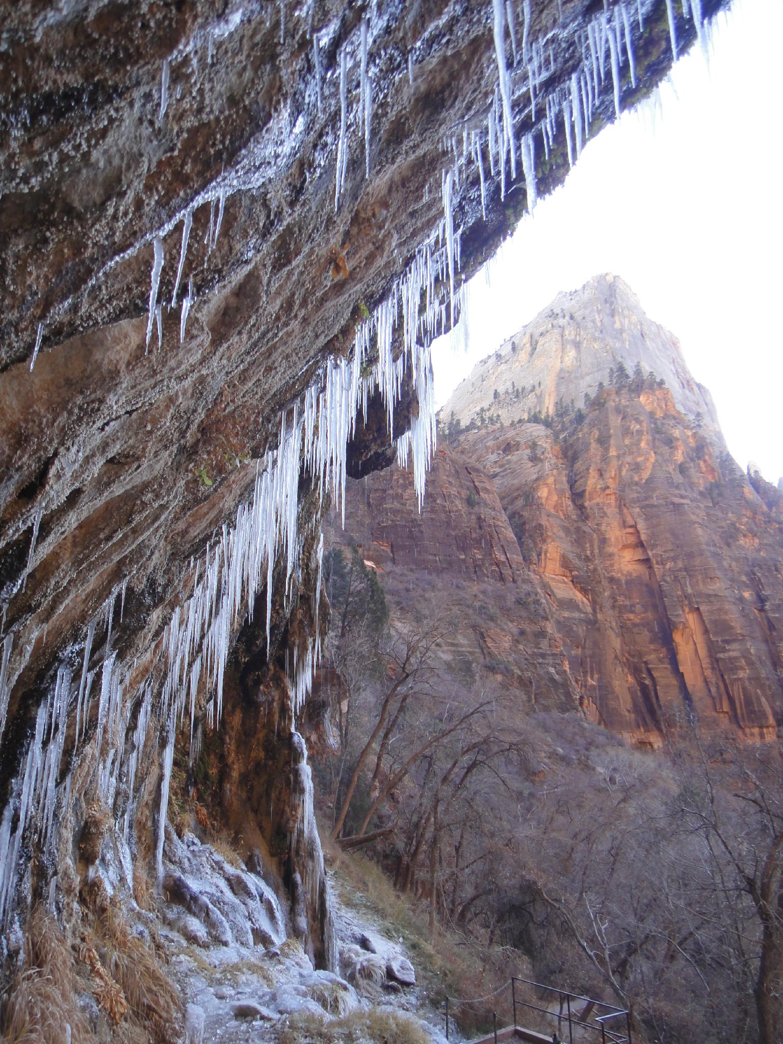
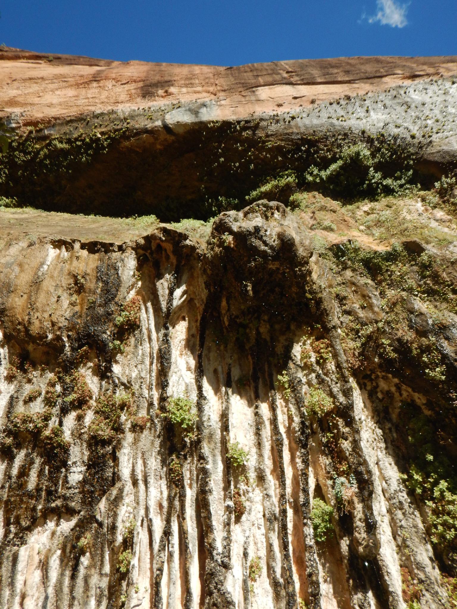
One of the most popular short attractions in the park, Weeping Rock is an impressive seep where the Navajo Sandstone layer and Kayenta layers intersect. This sandstone layer intersection channels water along the top of the less porous Kayenta layer to where it seeps out of the canyon wall in an impressive hanging garden. The hike is short, and suitable for most, making it an excellent family friendly attraction.
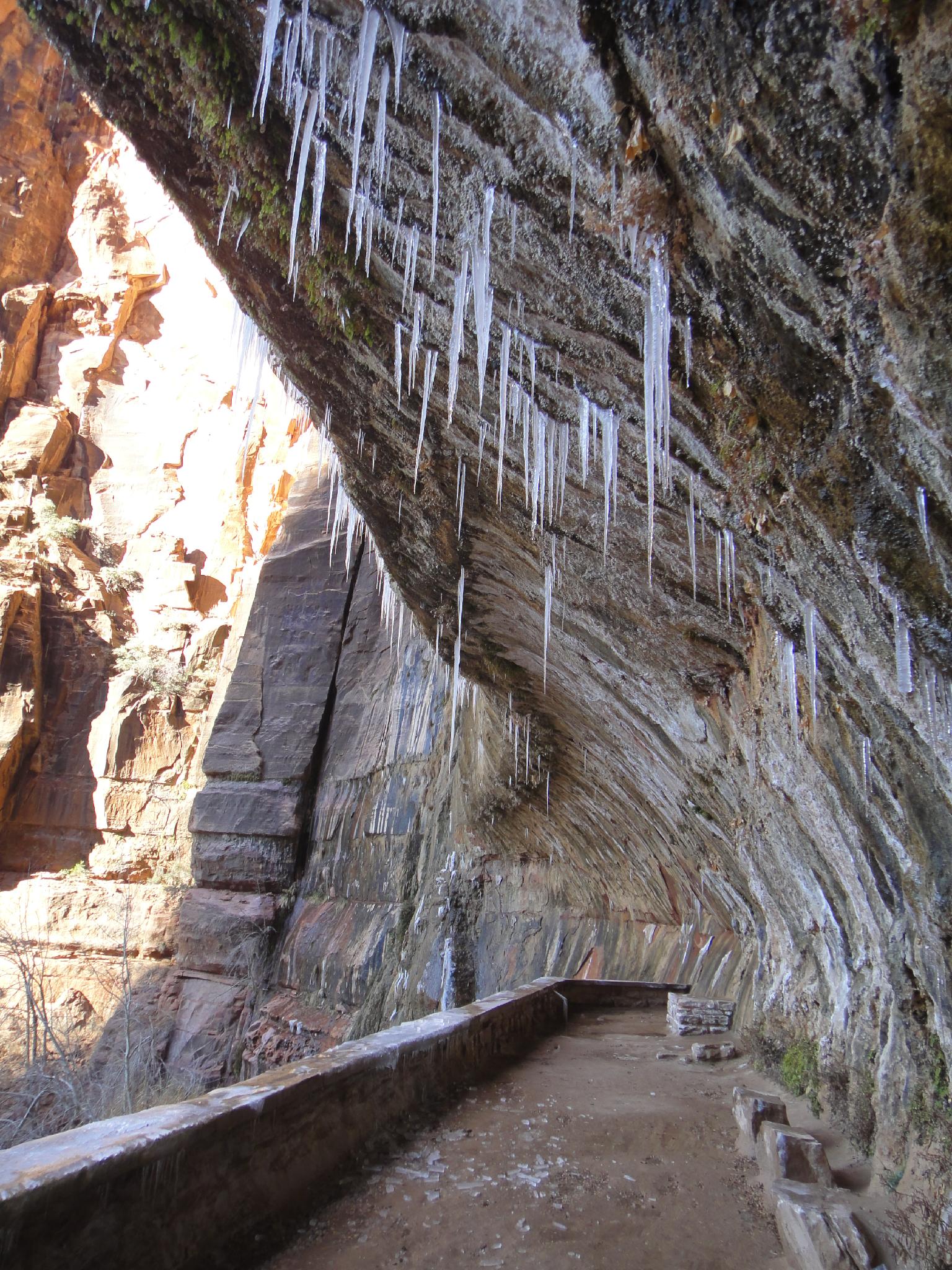
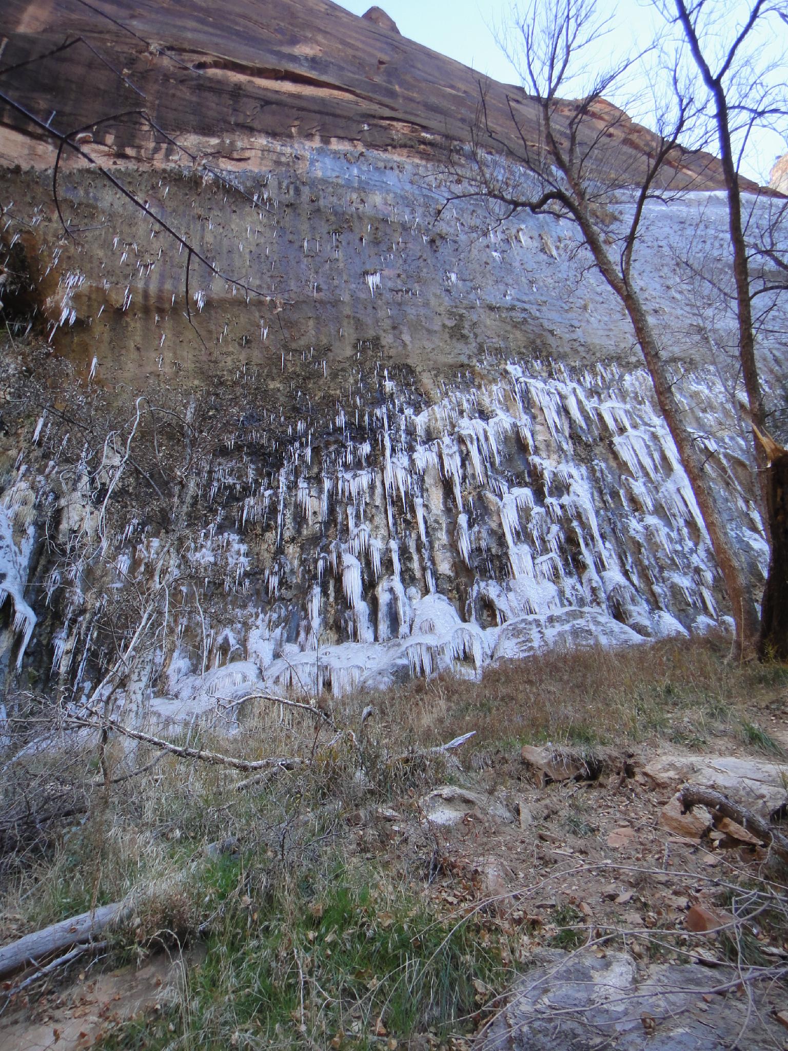
I've visited Weeping Rock several times over the years. It is stunning year round, but during the winter it can be adorned with gigantic hanging icicles, and is my favorite time to visit. Most of the year you can walk up to and under the dripping springs. For safety, the park does close the trail a bit back from the seep when ice has formed.
Getting There
The trailhead is the Weeping Rock Shuttle stop in the main Zion canyon. During summer months, the Zion shuttle is the only way to access the trailhead.
Route
From the Weeping Rock bus stop, the trail leaves on the east side of the road. After crossing the small stream created by Weeping Rock, the trail branches off to the left and visits the spring in a short 5 minute or less hike from the trailhead.
| Trailhead |
12S 328067E 4126718N 37°16'16"N 112°56'21"W |
| Weeping Rock |
12S 328275E 4126756N 37°16'18"N 112°56'13"W |

