 Hiking
Porcupine Falls
Hiking
Porcupine Falls
Bighorn Mountains
Overview
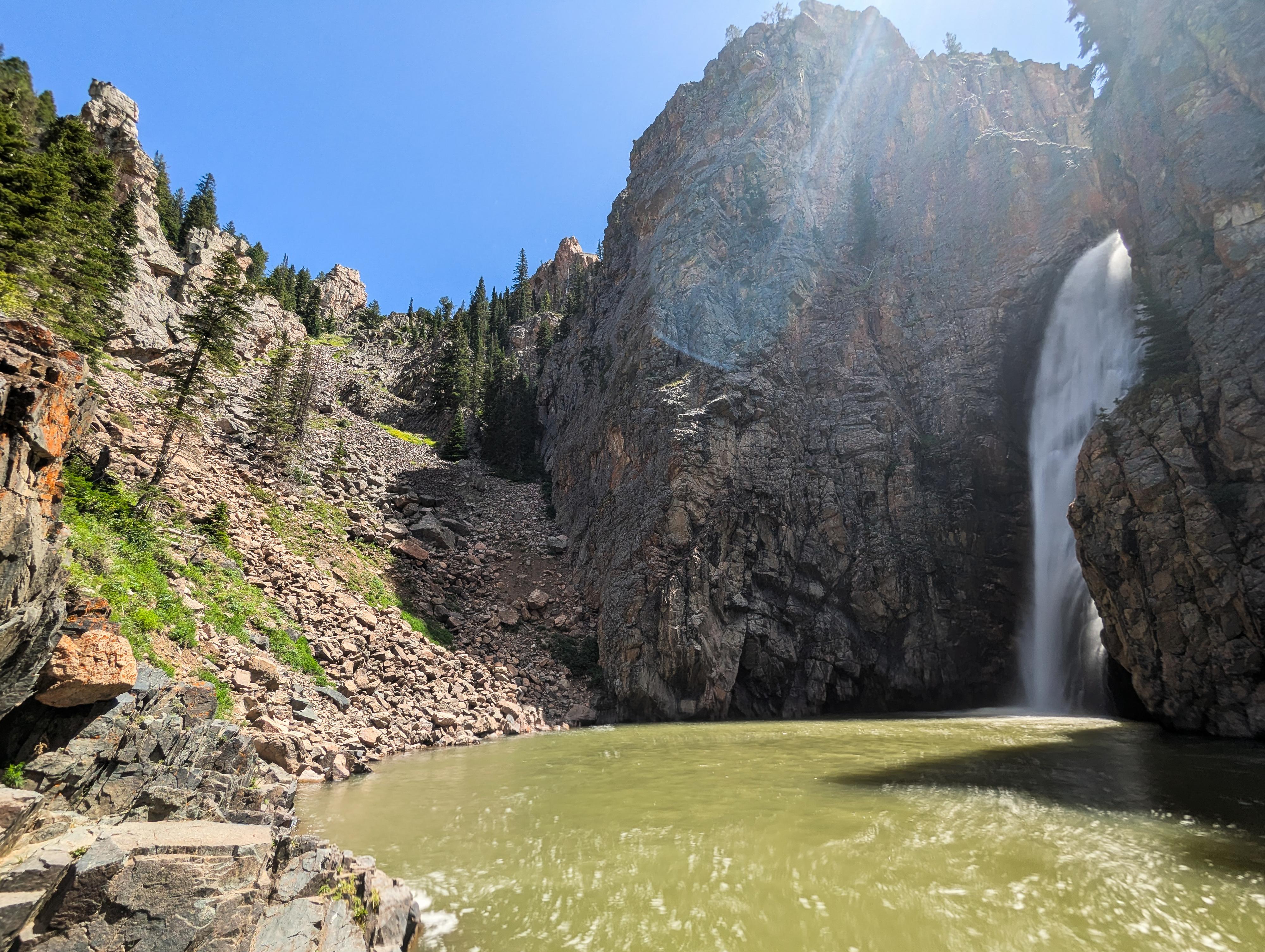
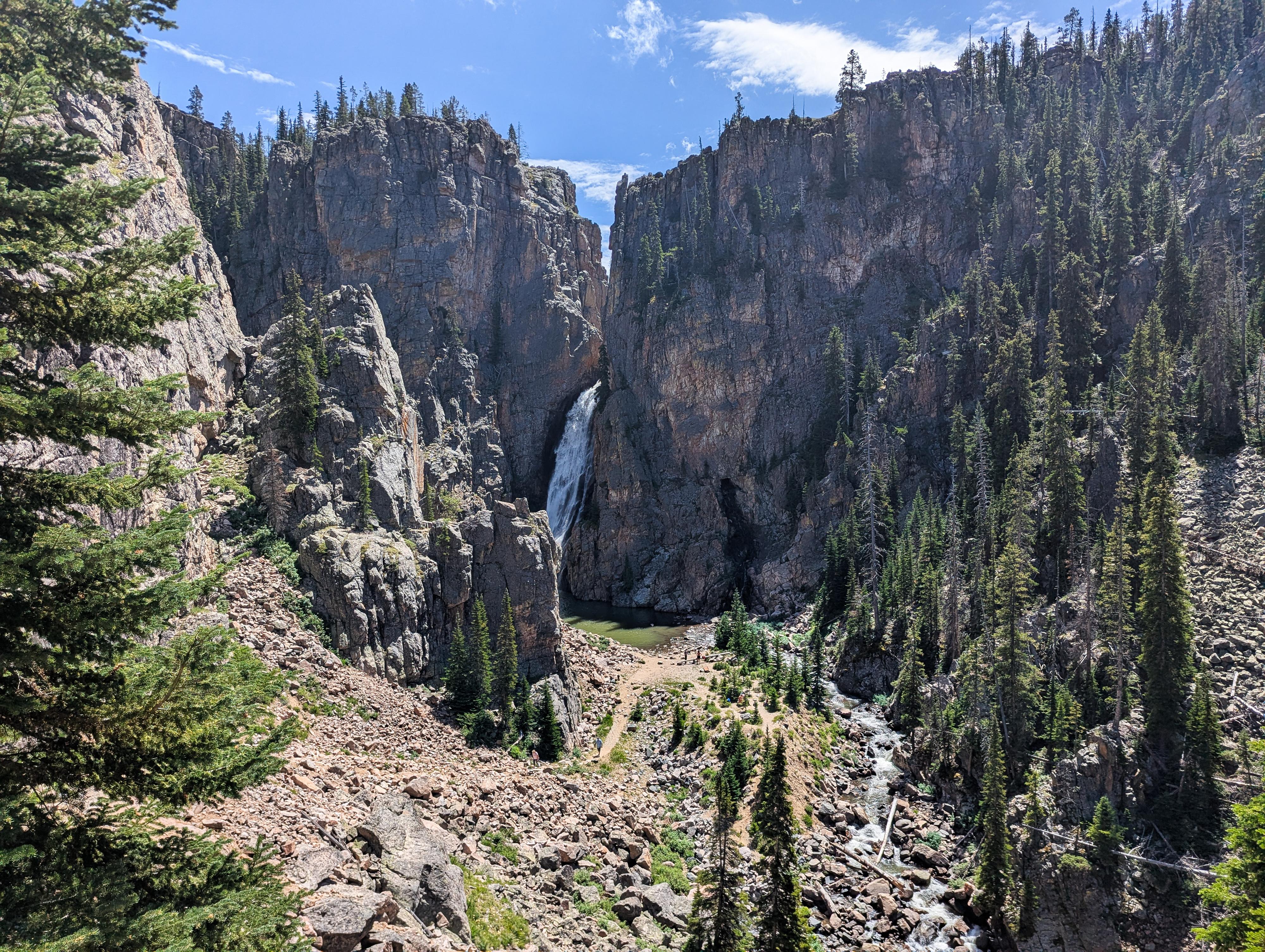
Porcupine Falls is a stunning 75-ish foot waterfall nestled in the Bighorn Mountains of north-central Wyoming, within the Bighorn National Forest. It's one of the more accessible and picturesque waterfalls in the area and makes for a great short hike and swim spot.
The trail to Porcupine Falls descends steeply from a trailhead at the end of a gravel road. It’s a short but steep hike down a series of switchbacks. Many families were visiting the falls on our visit, and our 8-year-old found the hike fun as long as we took quite a few breaks on the way out! Once you reach the bottom, you're rewarded with a postcard-worthy view: a tall, narrow waterfall spilling into a deep, crystal-clear pool. The water can be cold, but it’s popular for cliff-jumping and wading. Be sure to check the depth if jumping. Usually the water is clear, but on our visit, after a recent rain storm, it was quite cloudy and difficult to check depth.
Getting There
The Medicine Wheel trailhead is off of US-14, which runs over the Bighorn Mountains from Lovell on the west side to Dayton/Sheridan on the east side.
From Lovell, head east, taking US-14 at the junction on the east side of town. Follow US-14 for 33.7 miles to a side road on the left (north) side of the road. This is just after entering Sheridan County, and signed Devil's Canyon.
Route Description
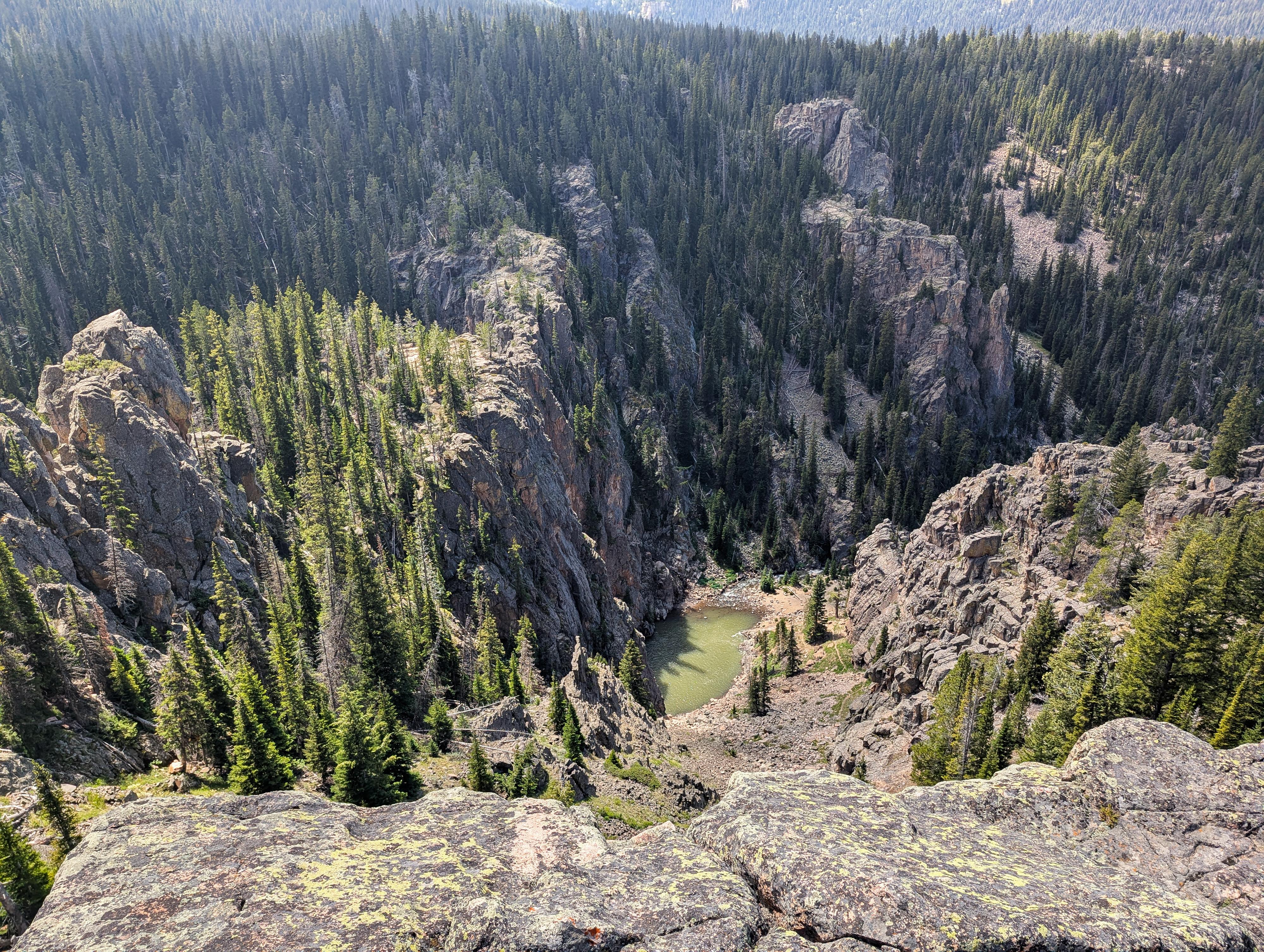
The trail to Porcupine Falls leaves on the west side of the parking lot. It descends steeply down the hillside with steps, and a few switchbacks en route. The last section to the river is particularly steep.
The falls are stunning! To the right of the falls, across the river, is an old cave or mine that, on our trip, had water flowing out of it as well.
Photos
Maps

13T 269849E 4971270N
44°51'28"N 107°54'47"W
13T 269831E 4971165N
44°51'24"N 107°54'47"W
13T 269672E 4971056N
44°51'21"N 107°54'54"W