 Hiking
Greens Basin
Hiking
Greens Basin
Big Cottonwood Canyon
Overview
The hike to Greens Basin lacks the big, dramatic views that many other hikes in Big Cottonwood have. The trek ends an unassuming basin, so there is no waterfall or lake destination. The lack of views and an exciting destination give this hike something that can be hard to find in Big Cottonwood Canyon, solitude!
Greens Basin is far more popular with snowshoers in the winter than with hikers in the summer. Often overlooked, it is a nice outing. The hike is relatively steep, but at just over 3 miles round trip, a relatively short outing. Plan your visit in mid-summer, and you are likely to be rewarded with a diverse wildflower bloom. As the trail ascends about 1,100 feet in its climb to Greens Basin, it passes through several different wildflower areas. Note, it is north facing, and after a big snow year, I was surprised to still find snow drifts in the basin in July!
Getting There
Big Cottonwood Canyon is on the east side of the Salt Lake City Valley. Get there by taking I-215 to the east, taking exit 6 off the interstate and heading east.
Follow 6200 South which becomes Wasatch Blvd for 1.8 miles to the stop light and signs for Big Cottonwood Canyon.
Turn left at the light and reset your odometer.
Drive up Big Cottonwood Canyon. The trailhead is at 9.7 miles, at the Spruces Campground on the right (south) side of the road.
Route Description
Up Days Fork
From the road, enter Spruces Campground. Take the first right, and follow the one-way paved road to the first large group area. There is a large grassy ballfield area here and some benches. The Days Fork trail leave along the west side of the field and starts as an old jeep road. It is signed, but somewhat easy to miss.
Follow the Days Fork trail. The road passes water systems, then becomes a steep trail as it ascends a narrow chute. At the top of the chute, just after the trail levels out and becomes less steep, look for a narrow trail leaving on the left (east) side of the trail. It is well defined, but easy to walk by if not paying attention.
To Greens Basin
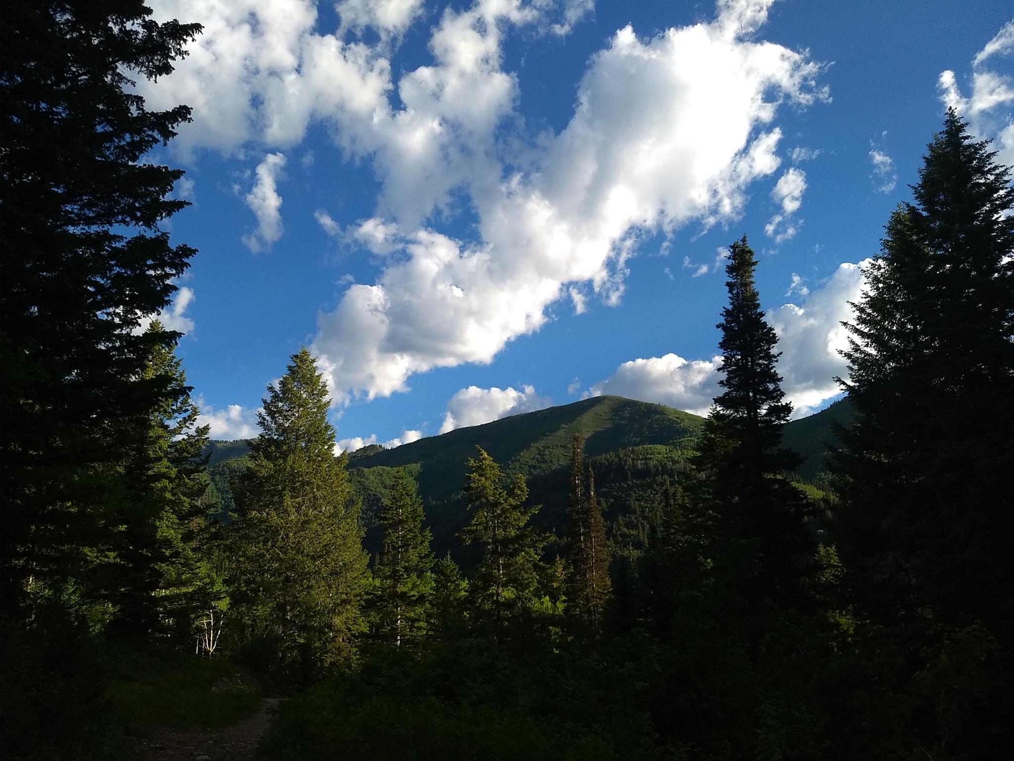
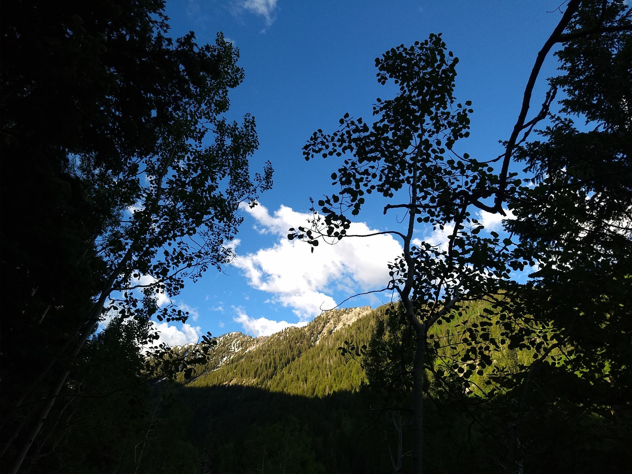
The trail heads northeast, switchbacks, and climbs steeply before switchbacking again and heading to the ridge. A few glimpses of the ridges and peaks that make up Big Cottonwood Canyon show through the trees, but sadly there are no good overlooks.
A side trail comes up from below and joins on the left. Stay right. This side trail goes down to private land below.
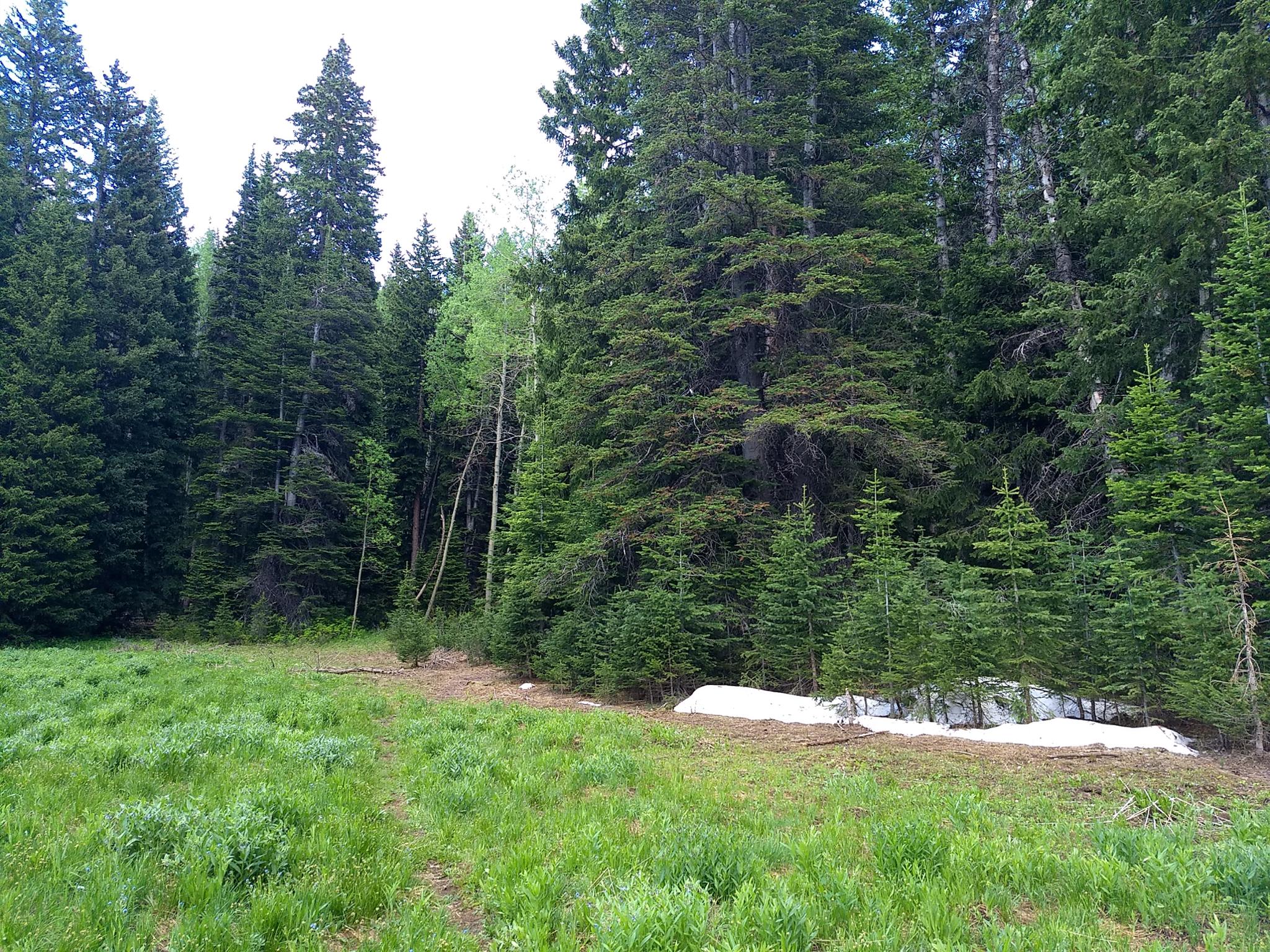
From the side trail, it is a short 10-15 minutes to Greens Basin proper. The basin is a small meadow surrounded by aspen and conifer trees. The trail fades at the end of the field.
Return the same way.
Maps

12T 446150E 4499309N
40°38'34"N 111°38'13"W
12T 446003E 4499102N
40°38'28"N 111°38'19"W
12T 446050E 4498657N
40°38'13"N 111°38'17"W
12T 446708E 4498318N
40°38'02"N 111°37'49"W
12T 446938E 4497889N
40°37'49"N 111°37'39"W