 Roadside Attraction Spiral Jetty
Promontory Point
Overview
|
Sat 58 | 45 |
Sun 62 | 44 |
Mon 66 | 47 |
Tue 63 | 42 |
Wed 67 | 44 |
| View Full Weather Details | ||||
|
Sat 58 | 45 |
Sun 62 | 44 |
Mon 66 | 47 |
Tue 63 | 42 |
Wed 67 | 44 |
| View Full Weather Details | ||||
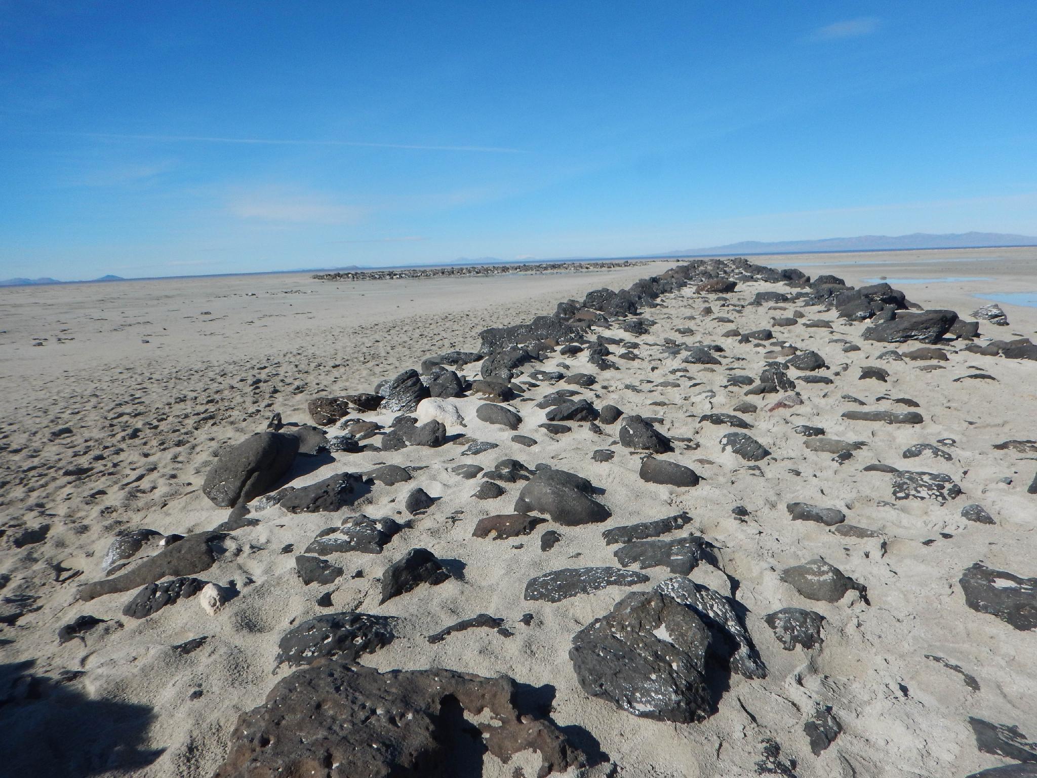
The Jetty up close during low water.
The Spiral Jetty was named the official state work of art by the Utah legislature in 2017. This work of art was created in the spring of 1970 by American sculptor Robert Smithson. His vision of the Spiral Jetty was likely built on the north side of the Great Salt Lake to take advantage of the blood red color that predominates in the water of the very salty north arm of the Great Salt Lake where pink-tinged salt loving bacteria and algae grow. Construction spanned 6 days using heavy machinery. Smithson wasn't happy with the results, so the jetty was re-build a second time in two days leaving the final shape that is there today.
This is a fascinating piece of art, and a place I highly recommend visiting. The Spiral Jetty can be anywhere from high and dry to completely submerged depending on the level of the Great Salt Lake when you visit. If the Great Salt Lake level is below about 4195, the top of the Jetty is exposed. Above those levels, and the jetty slowly disappears into the lake.
I've visited the Spiral Jetty numerous times over the years, starting back in the early 2000's. A few tips when making the trip:
- The road used to be fairly rough, but as of 2017, is well graded and passable by most vehicles.
- Be sure to have supplies and water in your vehicle; it is a long way to the nearest services.
- Bugs can be problematic in the summer. Fall, winter, and spring would be my recommended times to visit. Winter is idyllic if there isn't much snow in the area.
- Sunrises and sunsets are dramatic and a great time to visit.
- Bring shoes to change into if you are going to be wading! Towels recommended as well.
This is a place that changes year-to-year, season to season, and one I recommend visiting more than once.
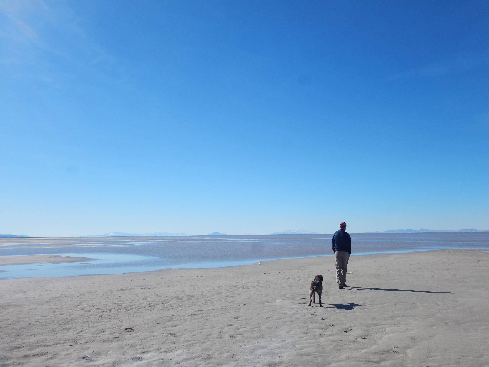
Ryan and Abby making the long walk to the lake during lower water.
Getting There
From the wasatch front, head north on I-15 to exit 365 (just north of Brigham City). Go west under the highway and follow SR-13 At 2.8 miles, stay on the well signed SR-83 that continues to Golden Spike. After 17.4 miles on SR-83, go left on the signed 7200 North road that leads to Golden Spike National Monument.
Reset your odometer and continue south from the monument. The road soon turns to dirt:
- 5.5 miles - Go left. ( 12T 364791mE 4602169mN / N41° 33' 35" W112° 37' 17" )
- 7.0 miles - Go right. Stay on the main road as it passes through private land. ( 12T 365071mE 4600042mN / N41° 32' 26" W112° 37' 03" )
- 15.6 miles - Old ruins on the left. ( 12T 361353mE 4588486mN / N41° 26' 10" W112° 39' 34" )
- 16.0 miles - Parking lot. ( 12T 360793mE 4588759mN / N41° 26' 18" W112° 39' 59" )
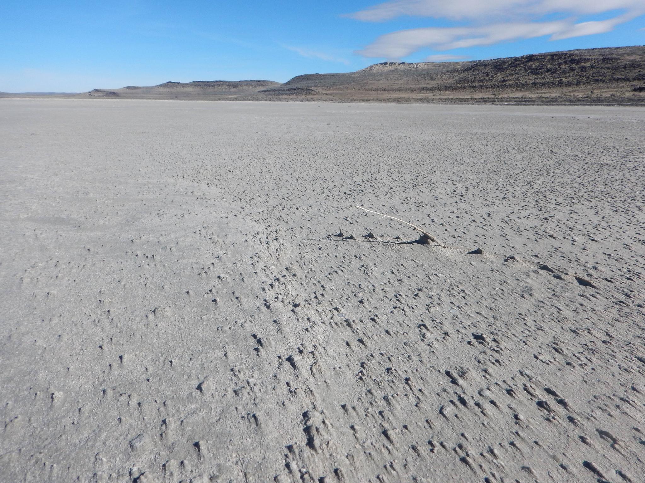
Neat textures when the lake is low.
Route
Just before reaching the Spiral Jetty, there is an old road and wooden timber poles/structures in the lake. This is worth a short visit to check out. At the end of the road in the lake is a capped drill pipe. Oil exploration around Rozel Point, near the Spiral Jetty, has been occurring since the 1800's, so I assume this was an old exploratory well site. The casing was too rusted to determine a date. As recently as 2008 oil and mineral companies have shown interest in exploratory drilling in the area.
The end of the road marks the parking area for the Spiral Jetty, with the Jetty prominent a short distance away.
The rock path of the jetty is about 1500' long. If it is not covered in water, it would be a crime not to walk the gentle spiral to its center. Visiting the jetty almost feels like a pilgrimage of sorts.
Though most just walk the path of the Spiral Jetty, snap a few pictures, and move on, I would recommend following the social trail from the parking area that meanders its way up to the top of the small hill. This offers excellent views of the Spiral Jetty and surrounding area. It is also an excellent lunch spot.
Photos
Maps

| Old Ruins |
12T 361303mE 4588448mN N41° 26' 08" W112° 39' 36" |
| Spiral Jetty |
12T 360793mE 4588758mN N41° 26' 18" W112° 39' 59" |