
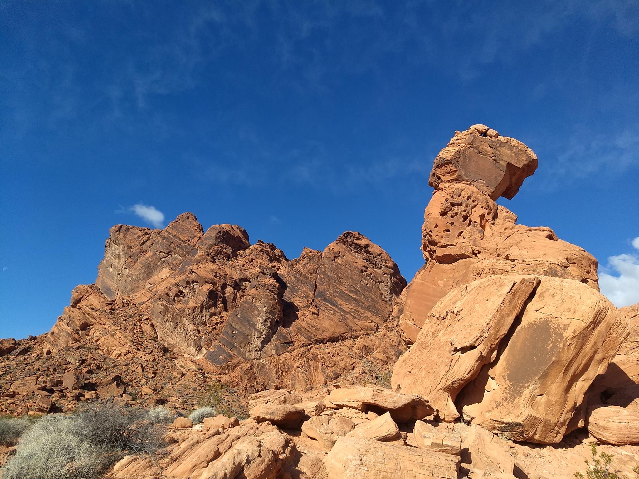
 Balanced Rock
Valley Of Fire
Overview
Fri

113°
|
89°
Sat
114°
|
89°
Sun
114°
|
90°
Mon
110°
|
88°
Tue
110°
|
87°
RATING:
Easy hike
LENGTH:
Less than 1 hour (0.3 mile)
MAPS:
VALLEY OF FIRE WEST, NV
SEASON:
Any, although summers can be very hot.
WATER:
Available at the visitor center
Fri
113°
|
89°
Sat
114°
|
89°
Sun
114°
|
90°
Mon
110°
|
88°
Tue
110°
|
87°
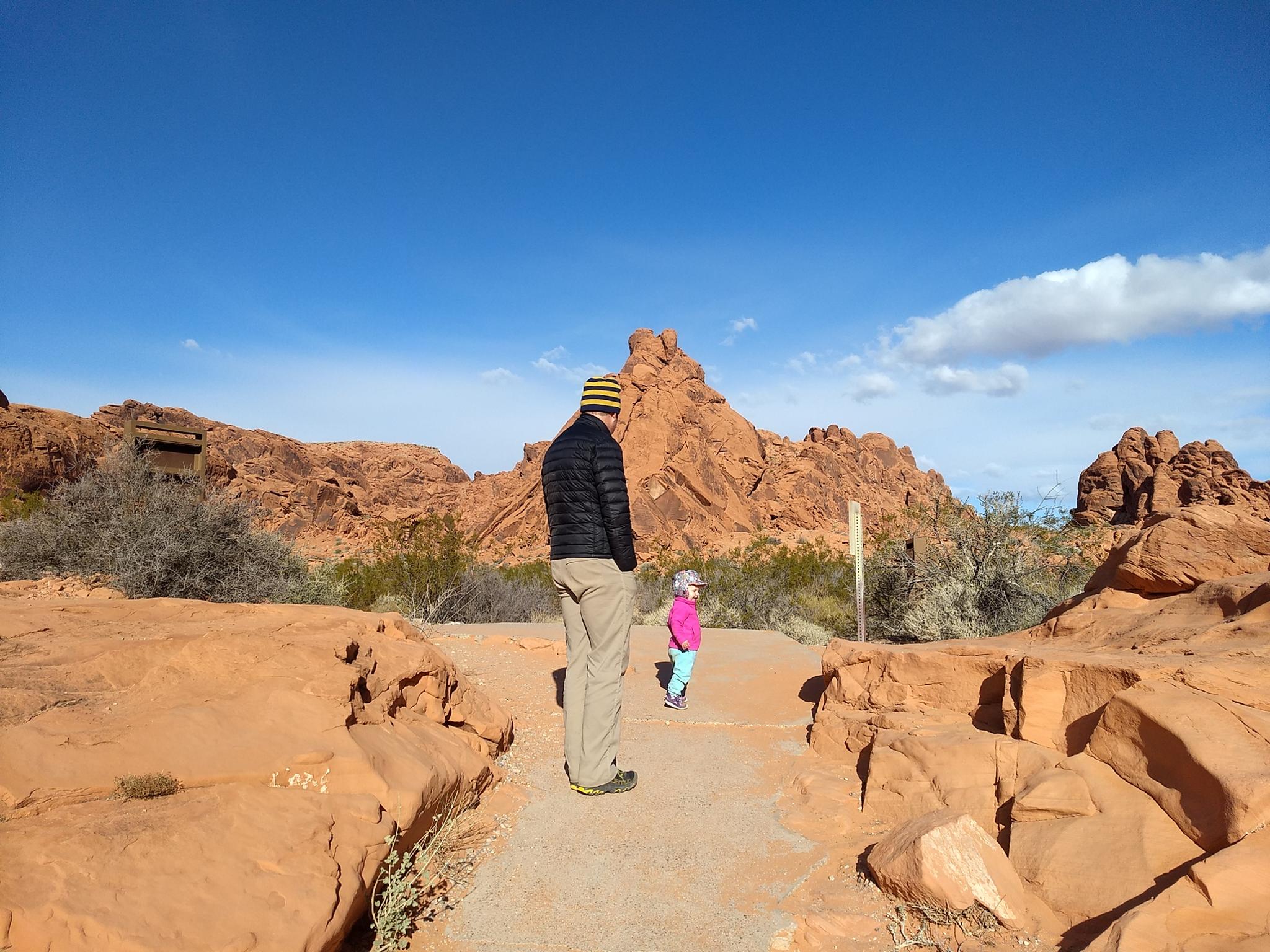
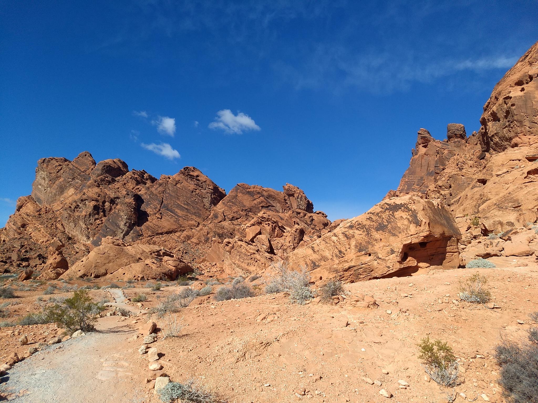
Balanced Rock is a great short leg stretcher hike when you visit the Valley of Fire Visitor Center. The trail is quick enough and easy enough, young children are likely to enjoy the outing. I suspect every region with sandstone rocks has a rock named Balanced Rock. This one is similar, though not as impressive as Balanced Rock in Arches National Park.
Getting There
Reach the park visitor center by taking exit 93 from I-15 if coming from the east ,or exit 75 if coming from the west (Las Vegas). From the highway, the route to the park is well signed. There is a fee to enter the park ($10 as of 2018 for day use).
Route Description
From the Visitor Center, the short well signed and easy trail visits Balanced Rock.
Maps
Route /
0.26
miles /
Elevation Range 2,002
- 2,023
ft.
Printable Maps:


Trailhead
11S 722819E 4034495N
36°25'47"N 114°30'52"W
Balanced Rock
11S 722630E 4034499N
36°25'48"N 114°30'59"W