 Roadside Attraction Devil's Toenails
Notom
Overview
|
Sat 41 | 15 |
Sun 44 | 16 |
Mon 50 | 22 |
Tue 57 | 28 |
Wed 63 | 33 |
| View Full Weather Details | ||||
|
Sat 41 | 15 |
Sun 44 | 16 |
Mon 50 | 22 |
Tue 57 | 28 |
Wed 63 | 33 |
| View Full Weather Details | ||||
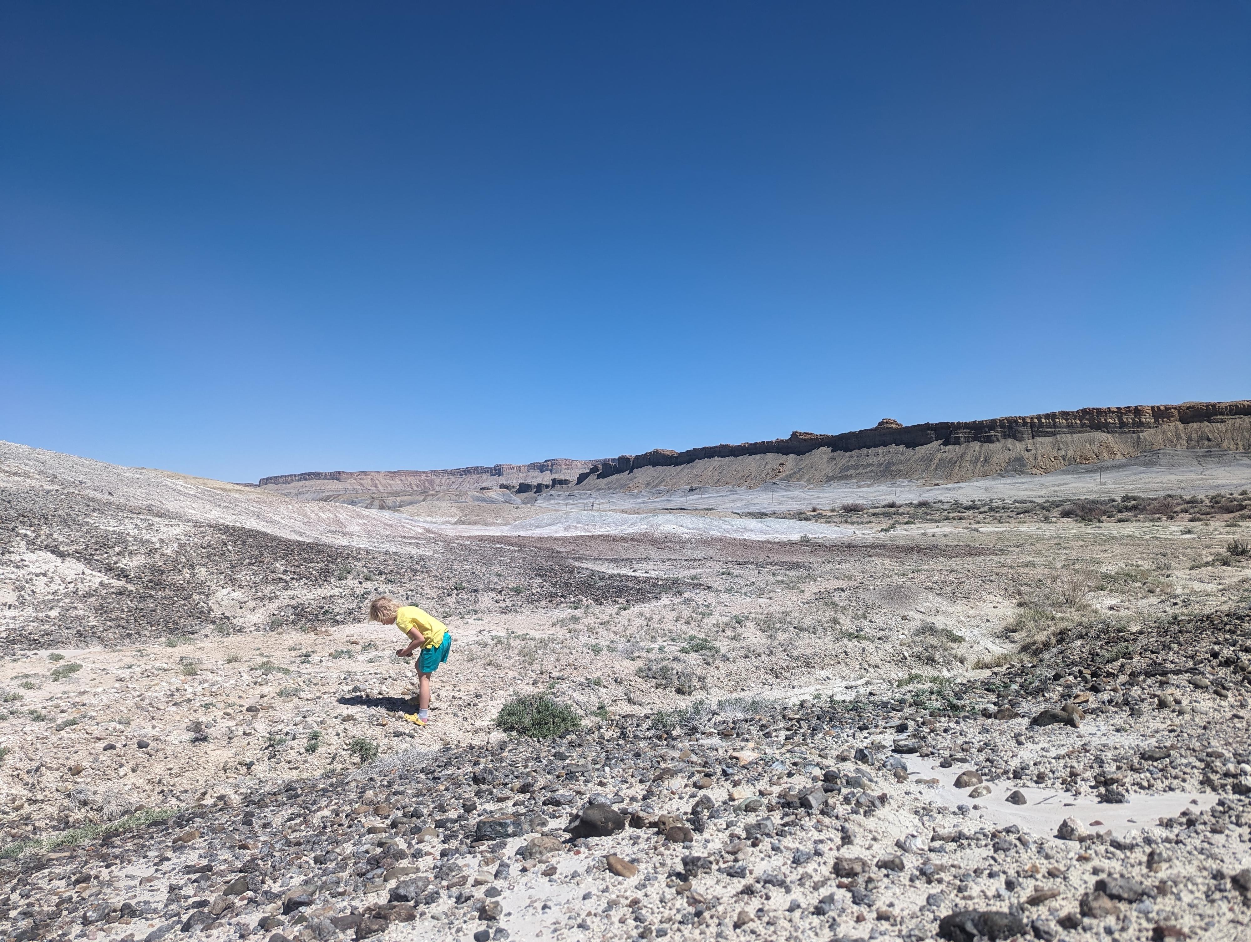
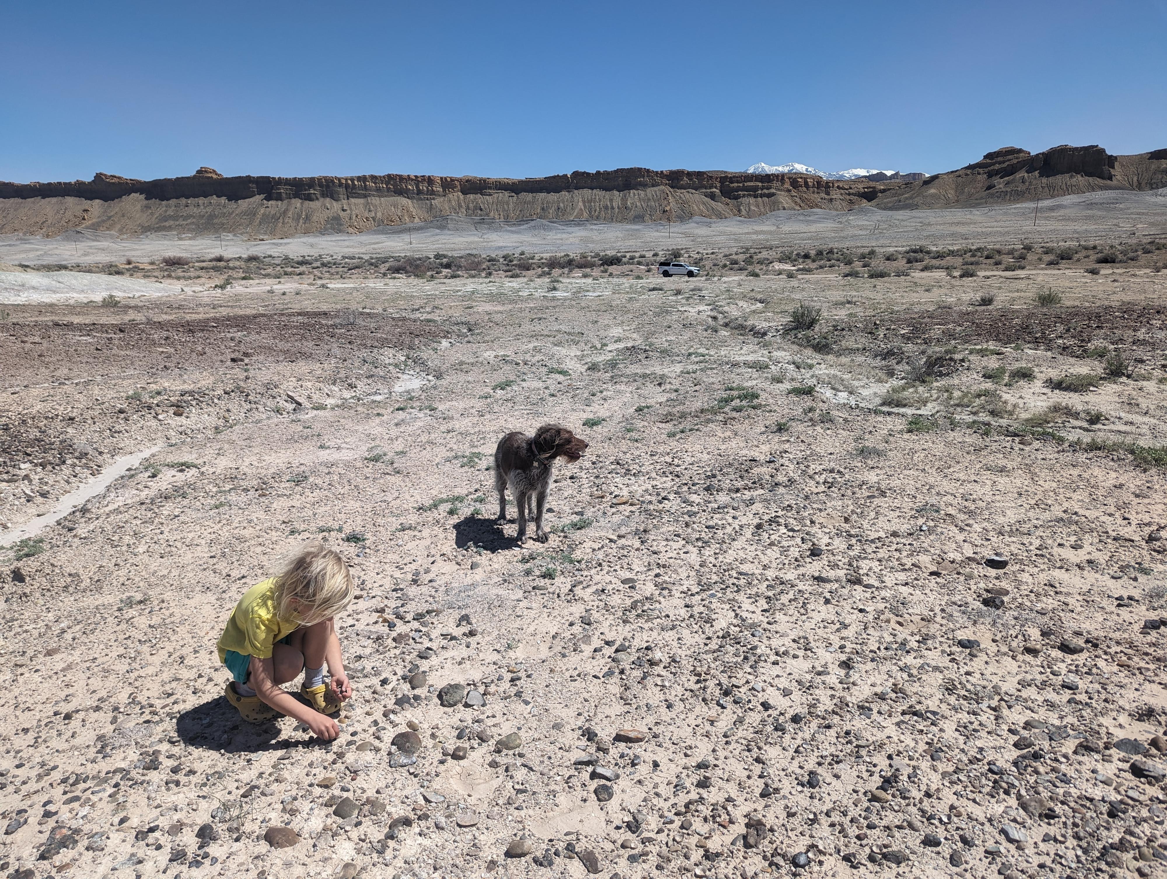
Fossil stops are always a bit of a gamble in our family. About 1/2 the time we stop, poke around for a while, but end up not finding anything. This stop is the opposite of that experience. The Devil's Toenail fossils are plentiful and easy to find. We really enjoyed spending a half-hour or so looking at fossils in the area.
Description: The shell of Gryphaea is generally thick and irregularly shaped, with one valve being more convex and the other more concave, giving it a distinct appearance. Its size could vary greatly, from just a few centimeters to over 30 centimeters in length. The exterior of the shell typically exhibits fine concentric ridges and often has a rough texture due to its mode of attachment to the substrate.
History: Gryphaea first appeared during the Jurassic period, around 200 million years ago, and persisted until the end of the Cretaceous period, about 65 million years ago. They were widespread throughout the world's oceans during their existence, inhabiting shallow marine environments such as coastal regions and continental shelves.
These organisms were filter feeders, meaning they obtained their food by filtering small particles from the water column using their gills. They likely lived in colonies attached to hard substrates such as rocks, shells, or even the remains of other organisms.
Gryphaea fossils are relatively common and have been discovered on every continent. They are particularly abundant in certain geological formations, such as the Jurassic Coast in England, where they are found in large numbers embedded in limestone and shale deposits.
Getting There
The trailhead is just off SR-24 at mile post 92. This is the highway that connects Torrey to Hanksville. Mile post 92 is about 12 miles east of the Capitol Reef Visitor Center.
At Mile Post 92, a side road, the Old Notom Road, leaves on the south side of ST-24. Follow this good, graded dirt road about 0.25 miles and park anywhere along the road.
Route
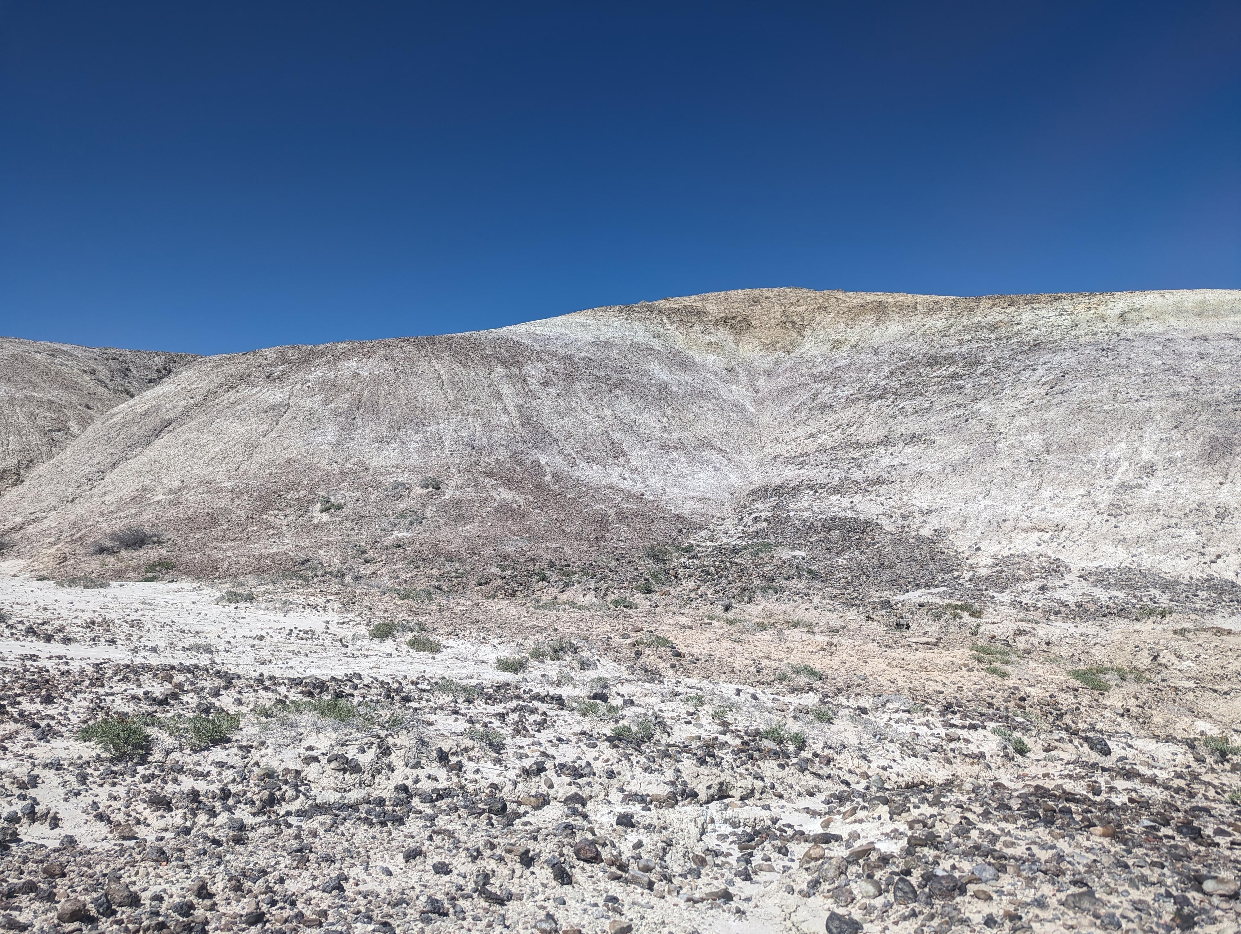
From the Old Notom Road, the hills to the north (right) side of the road are littered with interesting rocks and the Devil's Toenails. It took us just a few minutes to get an eye for the fossils, then we saw them EVERYWHERE! We found that wandering a bit farther from the road led to some excellent specimens.
| Mile Post 92 |
12S 493238E 4235548N 38°16'05"N 111°04'38"W |
| 0.2 miles |
12S 492915E 4235256N 38°15'55"N 111°04'52"W |


