 Hiking
North Caineville Mesa North Route
Hiking
North Caineville Mesa North Route
Caineville
Overview
When I first hiked North Caineville Mesa, it was by the cement truck route on the south side. At the time, the BLM office in Hanksville said it was the only route up the mesa. Recently, however, the BLM mentioned an additional route that climbs the mesa on the northwest side. Being a lover of badland hikes and big views, I was eager to hike the route. Armed with a simple trailhead waypoint, I headed out on a hot spring day to check it out.
This route is both quite similar, and quite different to the south side route. As of spring 2021, calling the route a trail is a bit disingenuous. The route sees only a handful of groups a year, and as such, is very faint and non-existent in spots. The few cairns and faded footprints require a careful eye, and good route intuition to find the path of least resistance. Once at the base of the mesa, the route has some similarities to the cement truck route. This route is steep, loose, and, well, unpleasant at times! At one time a constructed trail worked up from the desert floor, through a notch, and onto the summit of the mesa. Today the lower section of trail is non-existent as time and rockfalls have obliterated all signs of a trail. It is not until you are within a couple of hundred feet of the mesa top that a trail becomes visible.
Once on top, there is lots of space to wander and take in the views from different edges of the mesa. Where the trail reaches the top of the mesa is quite different than the slickrock floored top of the cement truck route. Instead, it is a wide plain with washes and cedar trees.
Which route do I recommend? For me, the southern route from the cement truck is more dramatic with better views. This route MIGHT be a tiny bit easier, but both are steep, loose, and not entirely pleasant. Reaching the trailhead for this route is impossible if the roads are wet, and a fair distance from pavement. If you only have time to do one, I will recommend the cement truck route. If you are looking for a slightly easier route or have already done the southern route and want different views, do this route.
Getting There
Reaching the trailhead starts at mile post 97.95 on UT-24 which is about 18 miles west of Hanksville, or 30 miles east of Torrey on UT-24.
Route Description
From the trailhead, located a small notch allowing passage through this first minor craggy band. You are likely to make out a faint social trail climbing up and over the notch. It is the most reasonable looking spot along this section. Once on top, head down the wash. The wash ends and a small canyon with a drop off getting down into it.
Bypass on the left by finding a place you can comfortable climb up and around. This is a good spot to look east. The small obvious notch visible on North Caineville Mesa is the route to the top. The goal is to follow one of the ridges to the notch. The ridge just to the south (right when facing it) seems the best bet and show some signs of traffic.
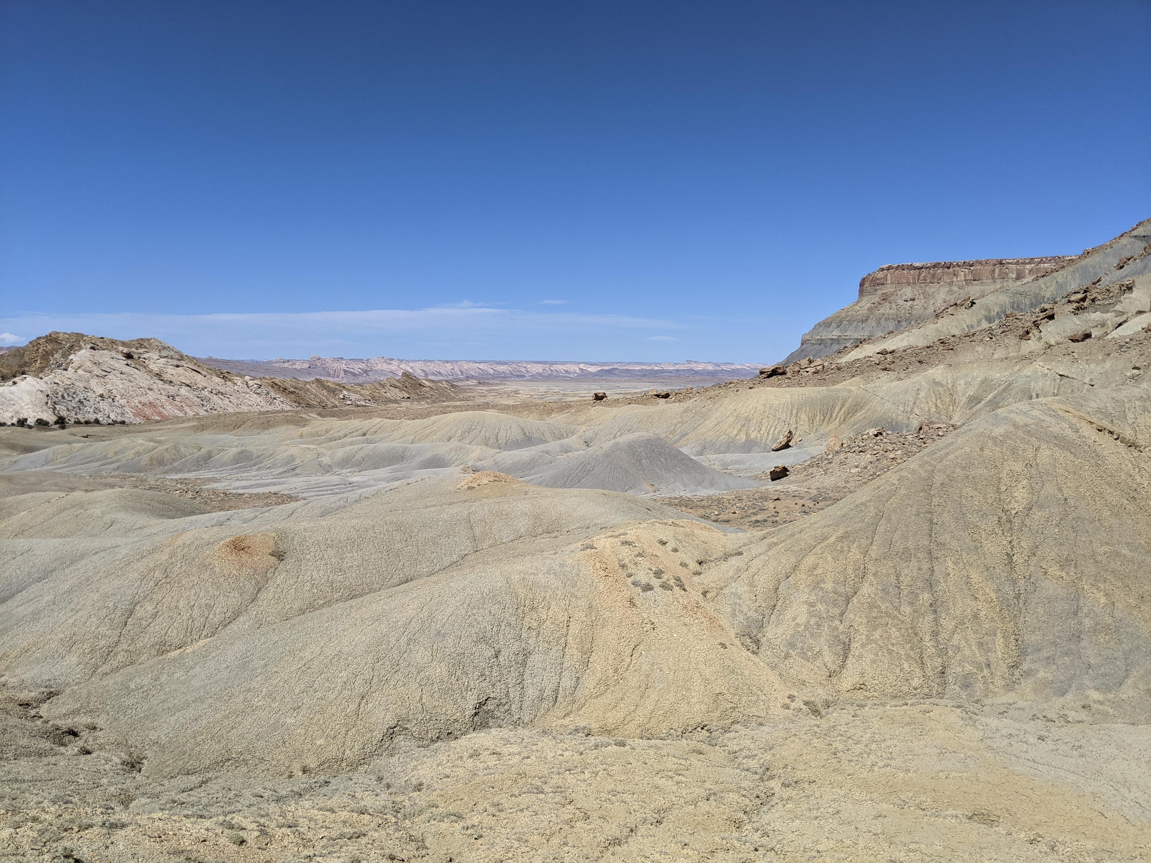
Head down to the wide plain, then across the plain to the base of North Caineville Mesa proper. To here, the route is easy and straightforward. From here on up, it gets more challenging.
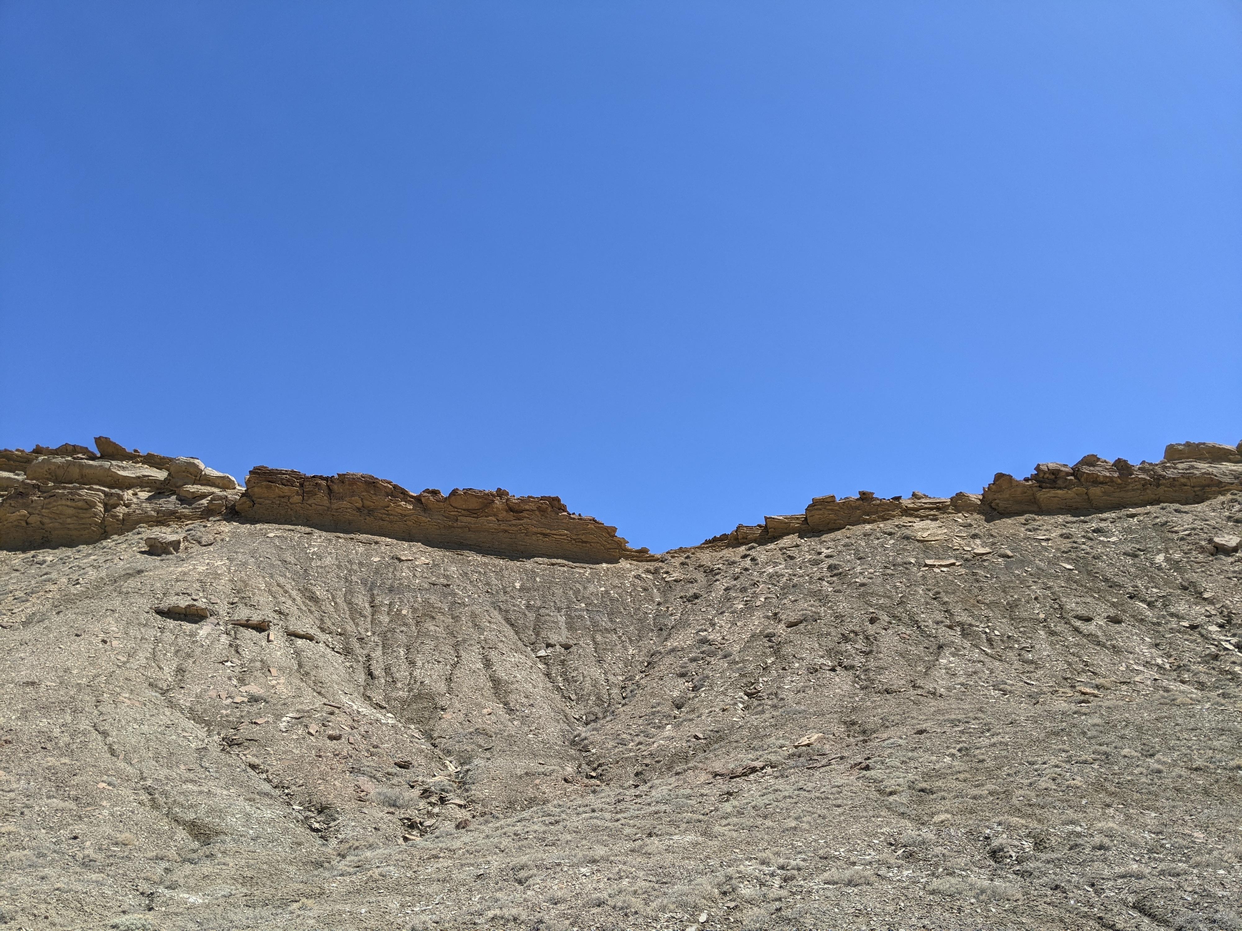
Work up the ridge, finding and staying on the path of least resistance. Generally, the ridgeline seems the easiest. Parts are steep loose dirt that is a challenge, as you get higher, some steep loose rock comes into the mix. Persevere! Once near the base of the cliff, head toward the notch. Just to the south (right) of the notch are some graffiti. The notch is a nice shady place on a hot day!
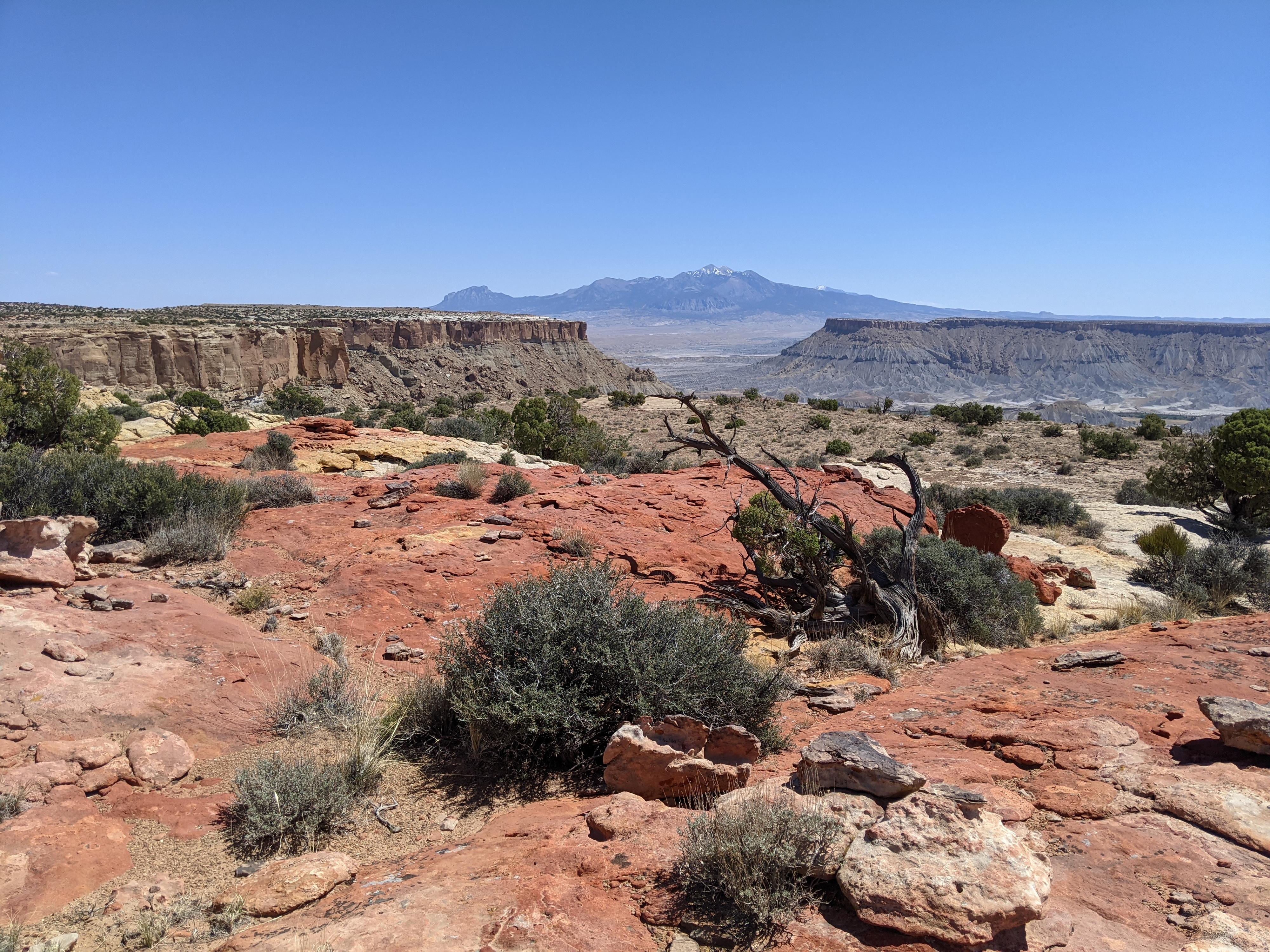
Once on top, wander in whatever direction strikes your fancy, just be sure to remember where to find the route down on the return! There is a BLM register in the plain not far from where you top out. Heading south from the notch reaches the rim south that has nice views overlooking Blue Valley and the Henry Mountains in the distance.
Return the same way.
Photos
Maps

12S 501951E 4250894N
38°24'23"N 110°58'40"W
12S 502050E 4250751N
38°24'18"N 110°58'35"W
12S 502951E 4250134N
38°23'58"N 110°57'58"W
12S 503108E 4249998N
38°23'54"N 110°57'52"W
12S 502439E 4250414N
38°24'07"N 110°58'19"W