 Canyoneering
Old School
Canyoneering
Old School
Capitol Reef
Overview
Old School is one of those canyons you do when you have an hour or two at the end of the day and aren't ready to settle down in camp or head back to civilization. Though a 1 rappel wonder, it makes a pleasant outing and a nice way to round out a day. It would also be beginner friendly with competent leadership, and a gentle introduction to canyoneering. There is a pool mid-way down the rappel that requires a bit of creative stemming to avoid. Beginners will get wet, intermediate canyoneers will enjoy the challenge. No wetsuit needed, the canyon opens shortly after the last rappel.
Why the name Old School? Since we don't know the name from the first group to descend it, we wanted to pay them homage. Well, that is the official story anyway. Unofficially, I was poked fun at for bringing my usual Old School canyoneering gear for this canyon, a 9+mm rope that others in the group seemed convinced was of museum quality. Is a 9+mm rope old school? Probably, but there is something reassuring about the feel of a nice fat rope as is lazily meanders its way through the rappel device. For the record, a 9mm rope not only feels like iron, but also wears like iron, is great for ascending on, and clearly photographs well.
Getting There
Drive east out of Torrey on highway 24 about 17 miles to a parking area on the left (north) side of the road. This is mile post 85.5, and about 6 miles east of the Capitol Reef visitor center.
If you reach the Freemont River Falls, you've gone too far. Turn around there, head west, and stop at the first pullout on the north (right) side of the road.
Route Description
Approach (20-30 minutes)
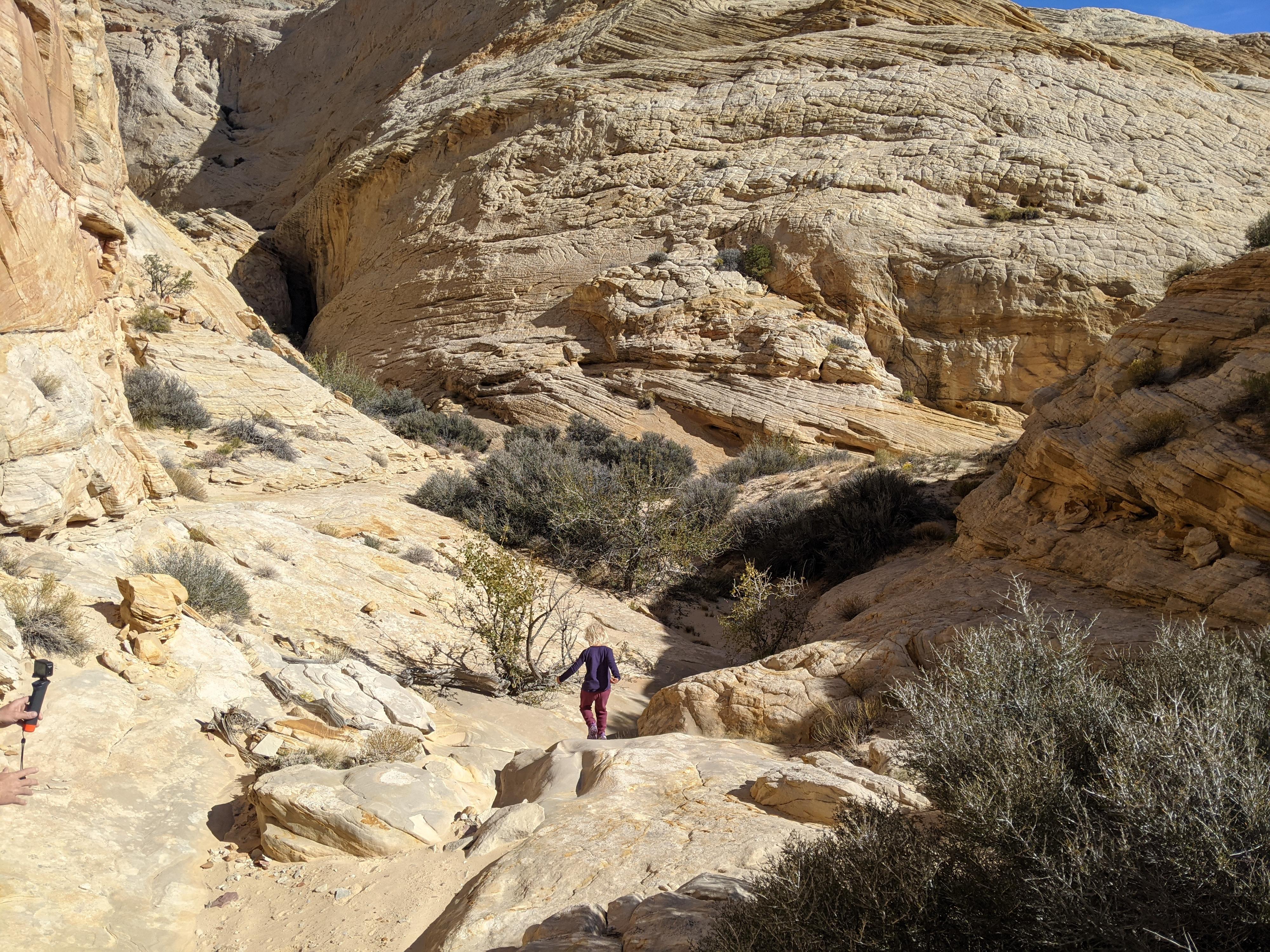
From the parking area cross the river. Go north, working your way up the boulder strewn hill directly north of the parking area. Once on top, continue north reaching the rim of the canyon. Follow it up until it is easy to walk in.
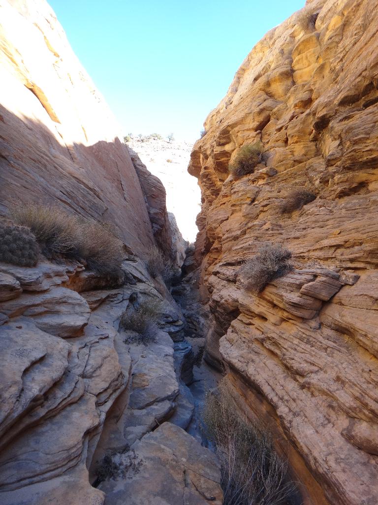
Canyon (30-40 minutes)
Heading down the canyon it is easy going with some lovely narrows and one 8 ft downclimb before the first major obstacle is reached, a 10 m ( 33 ft. ) dryfall. Skilled canyoneers can downclimb this (especially with a bit of a spot from below) or an anchor can be made. Currently (2021), the anchor is way back from the edge. This is creating serious rope grooves. If needing to rappel this drop, consider a fiddlestick type device to reduce rope grooves and consider where you pull from.
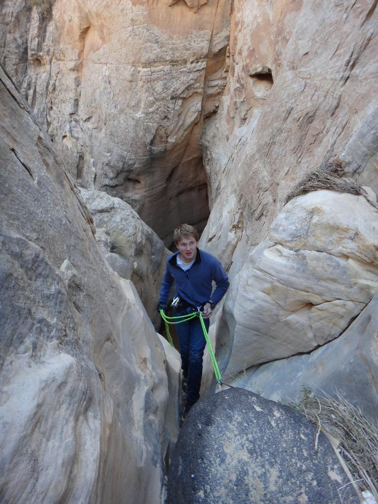
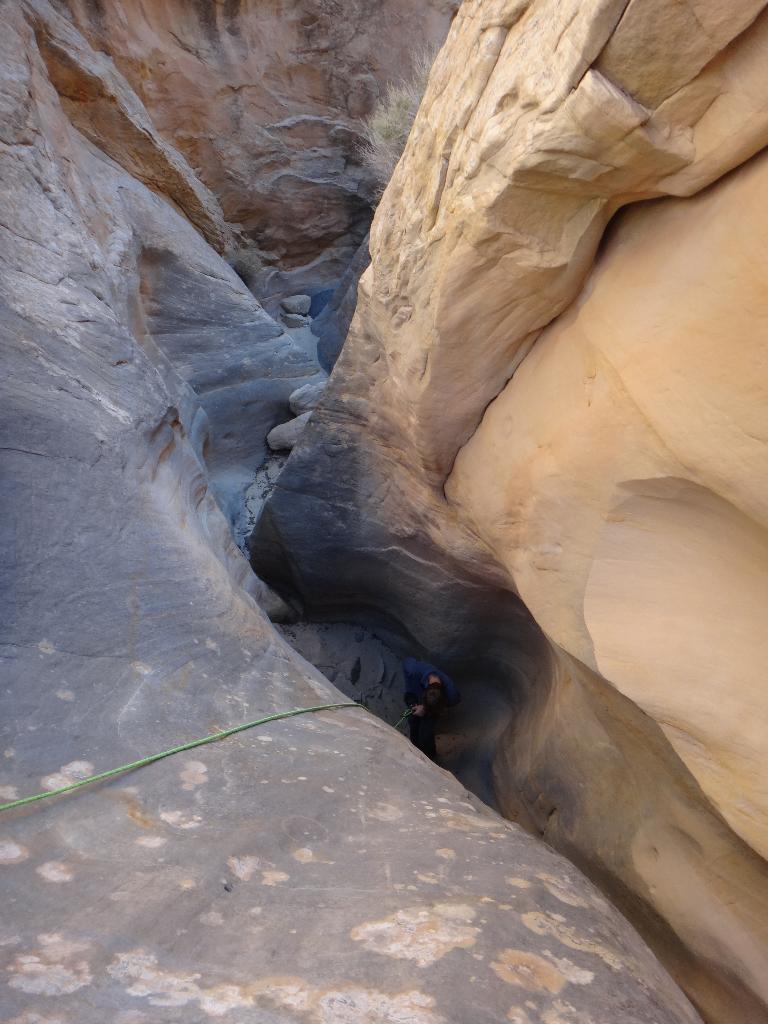
Just below is the mandatory rappel (22 m ( 73 ft. )). It is two stage, with a pool separating the stages. Bonus points for staying dry. It should generally never be more than knee or so deep depending on sand levels.
It is interesting to note the piton on the left after the pool. It appears the canyon was descended quite some time ago by unknown canyoneers. On our trip, we didn't find any webbing or signs of descent (footprints/rope grooves). I'd love to know the story of the piton. It is well placed, out of the flow of floods and such that it makes an easy pull. The lack of webbing makes me suspect it was descended long enough ago that the webbing weathered off and was washed away. Fascinating.
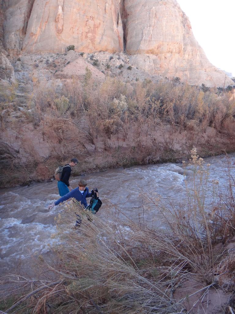
From the bottom of the rappel, it is just a few minutes down the canyon to the river. Rather than try and cross here, follow the floodplain UPSTREAM back to the parking area and cross there. Crossing at the parking area is much safer in case of a slip.
Photos
Maps

12S 485608E 4237304N
38°17'01"N 111°09'52"W
12S 485400E 4237612N
38°17'11"N 111°10'01"W